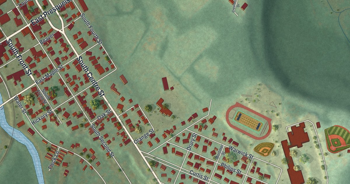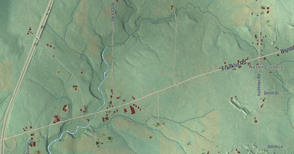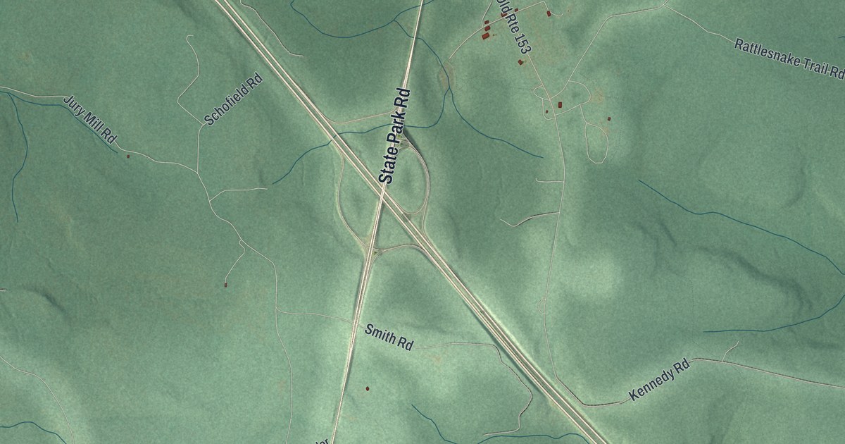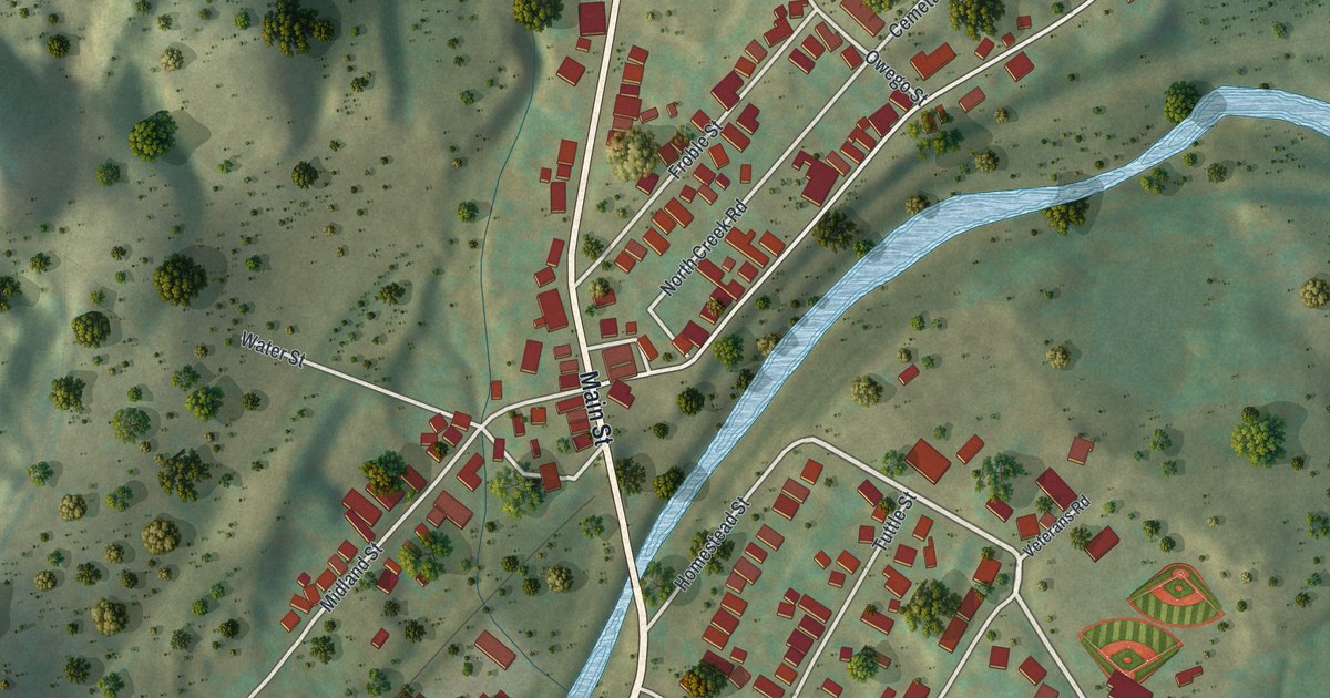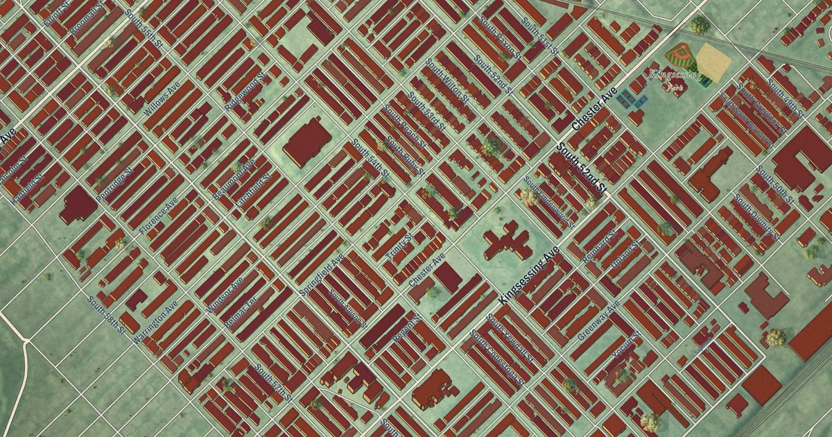
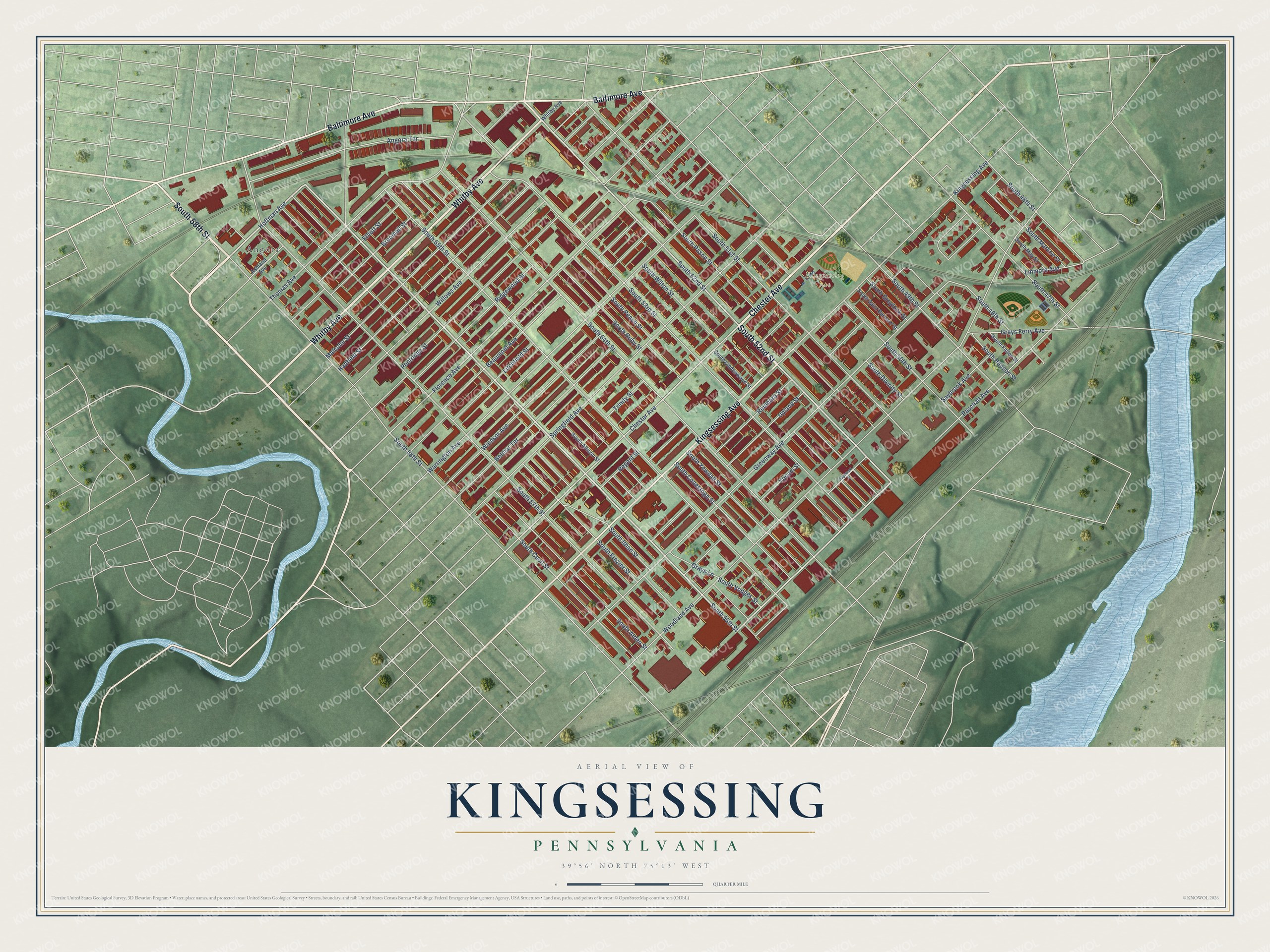
This beautifully detailed map of Kingsessing, Pennsylvania was created in 2026 using aerial imagery combined with modern topographical, census, street and landmark data. It’s a one-of-a-kind view of Kingsessing that combines accurate data with a vintage aesthetic. The map shows every building in its true location, many of the roads carry their names, and the shaded topographic relief shows the shape of the land.
Explore an aerial view of Kingsessing, Pennsylvania
On the map you’ll find Kingsessing Park and Angora, along with South 52nd Street, Chester Avenue, Whitby Avenue, South 58th Street, Baltimore Avenue, Kingsessing Avenue, South 56th Street, Paschall Avenue, Hoffman Avenue, Florence Avenue, and more. If you look closely you can even find your house accurately drawn in its correct location. Zoom in on the preview to look for yours.
Did You Know?
From Internet Archive: "On the Schuylkill another settlement was made in the township of Kingsessing, with a trading-post, Fort Korsholm, at the place now known as Point Breeze."
Kingsessing is a place in Philadelphia County.
Take a closer look at the Kingsessing map
Names on this map
These names are printed on this map.
Places: Kingsessing Park and Angora.
Streets and roads: South 52nd Street, Chester Avenue, Whitby Avenue, South 58th Street, Baltimore Avenue, Kingsessing Avenue, South 56th Street, Paschall Avenue, Hoffman Avenue, Florence Avenue, Linmore Avenue, South 55th Street.
More street names, A to Z
Angora Terrace, Ashland Avenue, Beaumont Avenue, Belmar Terrace, Broomall Street, Elliott Street, Grays Ferry Avenue, Grays Lane, Greenway Avenue, Hadfield Street, Litchfield Street, Malcolm Street, Pentridge Street, Regent Street, Reinhard Street, Ridgewood Street, Saybrook Avenue, Saybrook Street, South 46th Street, South 47th Street, South 48th Street, South 49th Street, South 50th Street, South 51st Street, South 53rd Street, South 54th Street, South 57th Street, South Alden Street, South Allison Street, South Cecil Street, South Conestoga Street, South Divinity Street, South Fallon Street, South Frazier Street, South Greylock Street, South Hanson Street, South Ithan Street, South Lindenwood Street, South Markoe Street, South May Street, South Paxon Street, South Peach Street, South Ruby Street, South Saint Bernard Street, South Vodges Street, South Wilton Street, South Yewdall Street, Springfield Avenue, Thomas Avenue, Trinity Street, Upland Street, Warrington Avenue, Willows Avenue, Windsor Avenue, Woodland Avenue, Yocum Street.
See it on a wall
The Kingsessing map as a framed print. Swipe for more.


This beautifully detailed map of Kingsessing makes an attractive addition to your office, library, or den, and it can even be used to teach children the geography and history of the area. It also makes a great gift for anyone with Kingsessing roots. When you’re done exploring, click here to get your copy of the Kingsessing map.