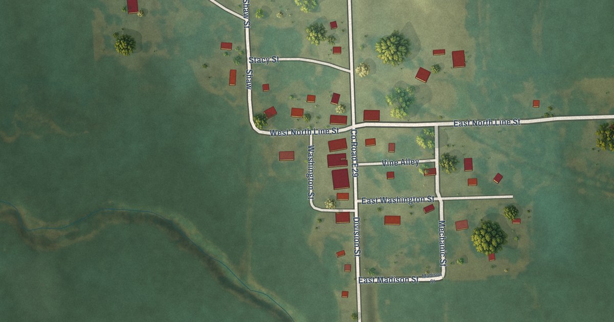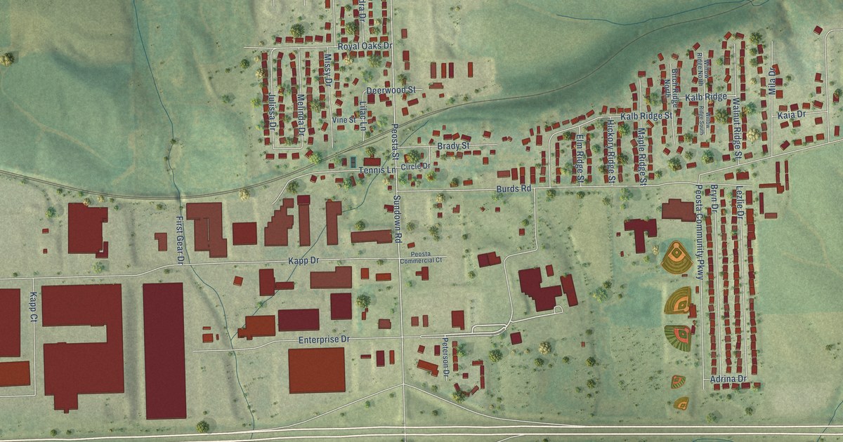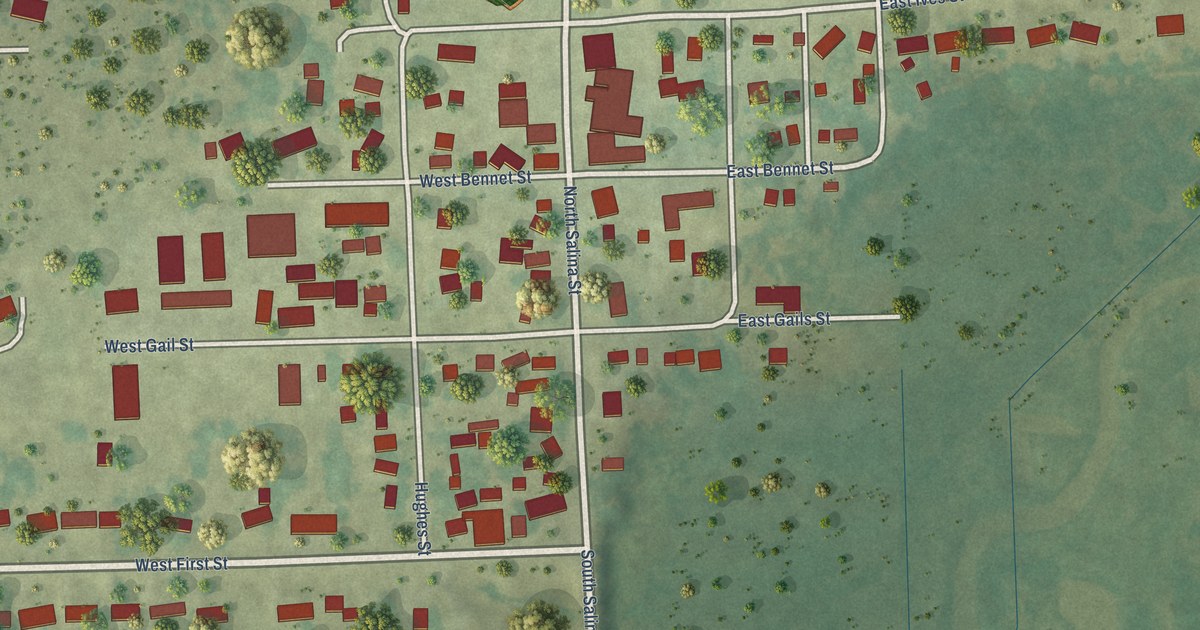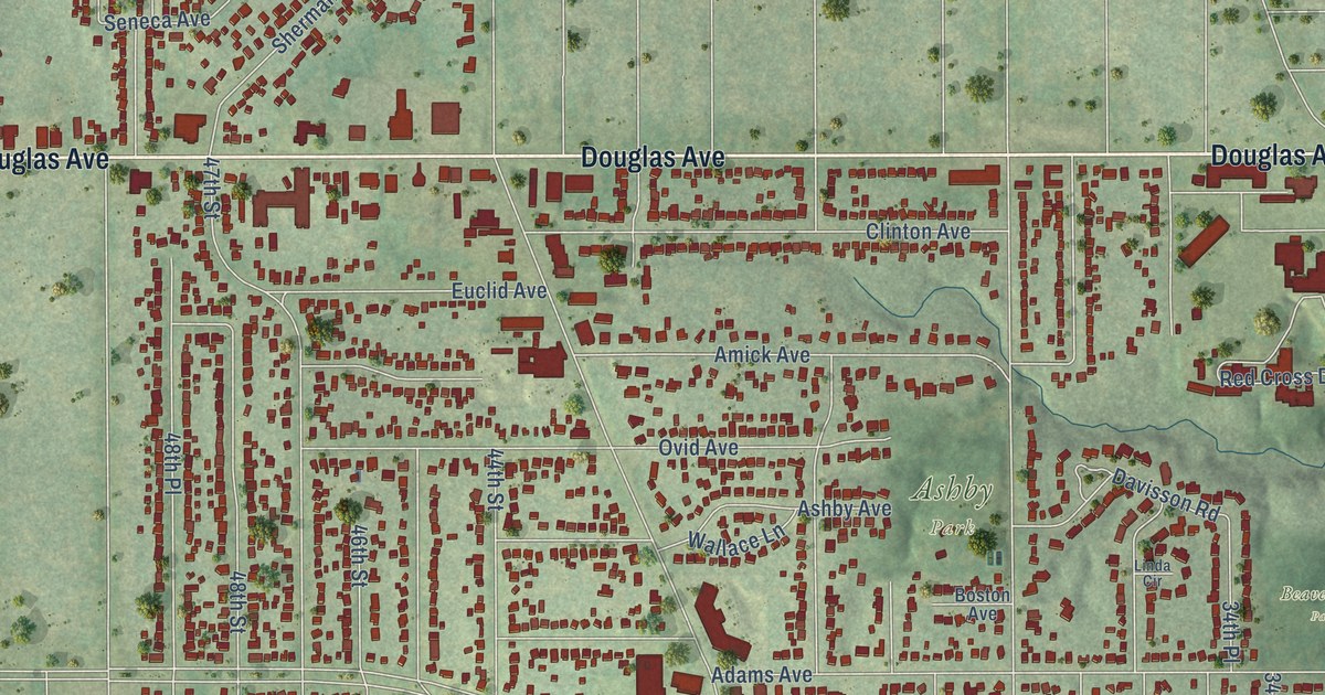
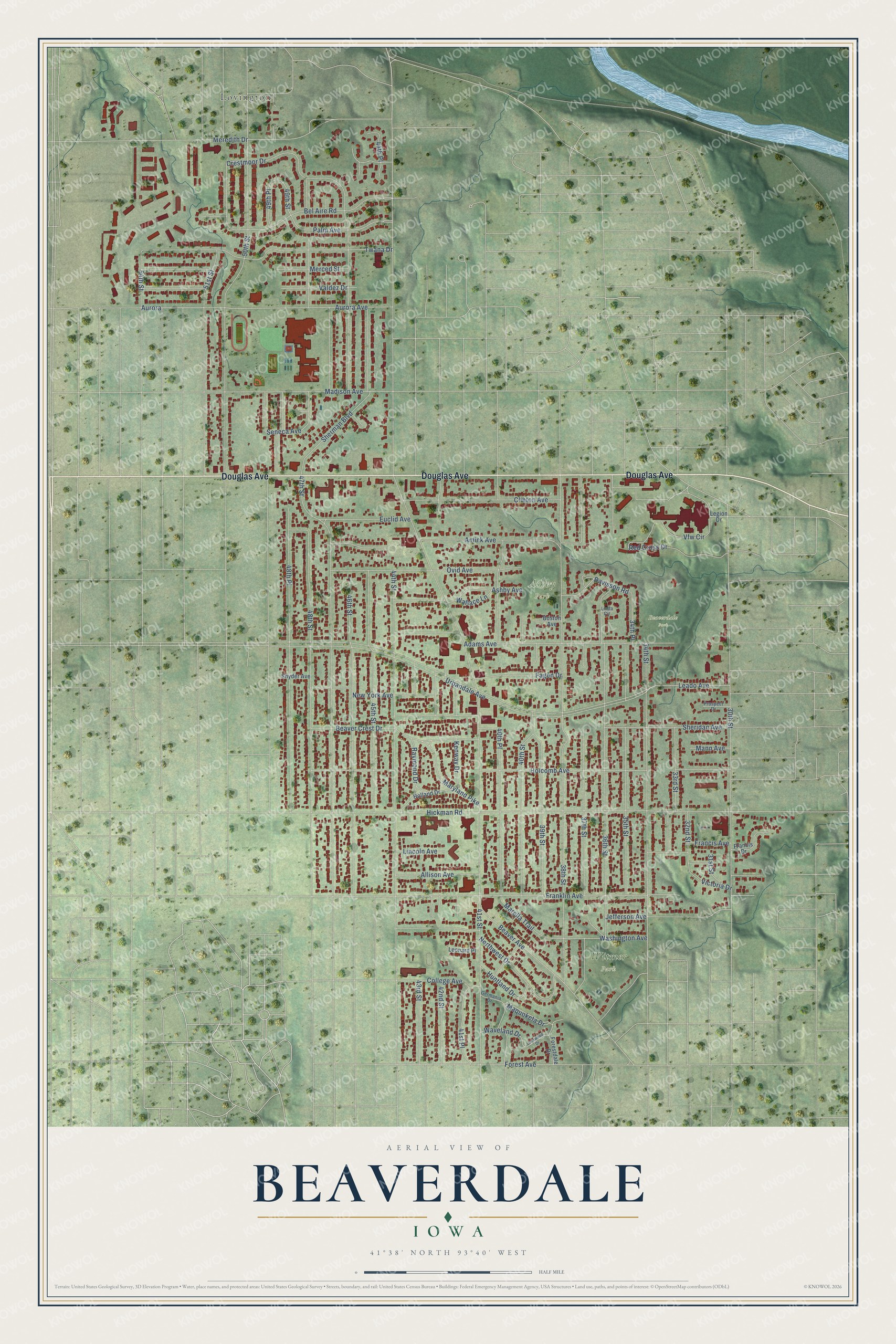
This beautifully detailed map of Beaverdale, Iowa was created in 2026 using aerial imagery combined with modern topographical, census, street and landmark data. It’s a one-of-a-kind view of Beaverdale that combines accurate data with a vintage aesthetic. The map shows every building in its true location, many of the roads carry their names, and the shaded topographic relief shows the shape of the land.
Explore an aerial view of Beaverdale, Iowa
On the map you’ll find Ashby Park, Beaverdale Park, Witmer Park, Lovington, and 40th Place, along with Douglas Avenue, Palm Avenue, Urbandale Avenue, Euclid Avenue, Davisson Road, 49th Street, 54th Street, and more. If you look closely you can even find your house accurately drawn in its correct location. Zoom in on the preview to look for yours.
Did You Know?
Locals once called all of northwest Des Moines Urbandale. In 1917 a neighboring suburban village formally took that name. Residents of the area soon met and chose Beaverdale for their neighborhood instead. The name came from Beaver Avenue, the old Fort Dodge Stage Road renamed in 1903.
Take a closer look at the Beaverdale map
Names on this map
These names are printed on this map.
Places: Ashby Park, Beaverdale Park, Witmer Park and Lovington.
Streets and roads: Douglas Avenue, Palm Avenue, Urbandale Avenue, Euclid Avenue, Davisson Road, 40th Place, 49th Street, 54th Street, Seneca Avenue, Beaver Avenue, 47th Street, 46th Street.
More street names, A to Z
30th Street, 31st Street, 32nd Street, 33rd Street, 34th Place, 34th Street, 35th Street, 36th Street, 37th Street, 38th Street, 39th Street, 40th Street, 41st Place, 41st Street, 42nd Street, 43rd Street, 44th Place, 44th Street, 45th Street, 48th Place, 48th Street, 49th Place, 50th Street, 51st Street, Adams Avenue, Allison Avenue, Amick Avenue, Ashby Avenue, Aurora, Aurora Avenue, Beaver Crest Drive, Bel Aire Road, Boston Avenue, Clinton Avenue, College Avenue, Crestmoor Drive, Fagen Drive, Forest Avenue, Forestdale Drive, Francis Avenue, Francis Drive, Franklin Avenue, Germania Drive, Hickman Road, Holcomb Avenue, Holland Drive, Huntland Drive, Jefferson Avenue, Kenway Drive, Lanewood Drive, Leado Avenue, Legion Drive, Leonard Place, Lincoln Avenue, Linda Circle, Madison Avenue, Mann Avenue, Maquoketa Drive, Marella Trail, Maryland Pike, Merced Street, Meredith Drive, New York Avenue, Northwest Drive, Ovid Avenue, Prospect Drive, Raymond Drive, Red Cross Drive, Sheridan Avenue, Sherman Boulevard, Snyder Avenue, Twana Drive, Valdez Drive, Vfw Circle, Victoria Drive, Wallace Lane, Washington Avenue, Waveland Drive.
See it on a wall
The Beaverdale, Des Moines map as a framed print. Swipe for more.


This beautifully detailed map of Beaverdale, Des Moines makes an attractive addition to your office, library, or den, and it can even be used to teach children the geography and history of the area. It also makes a great gift for someone who left Beaverdale and still calls it home. When you’re done exploring, click here to get your copy of the Beaverdale, Des Moines map.