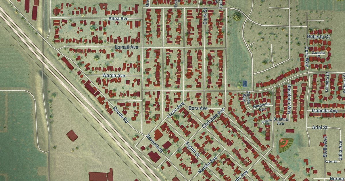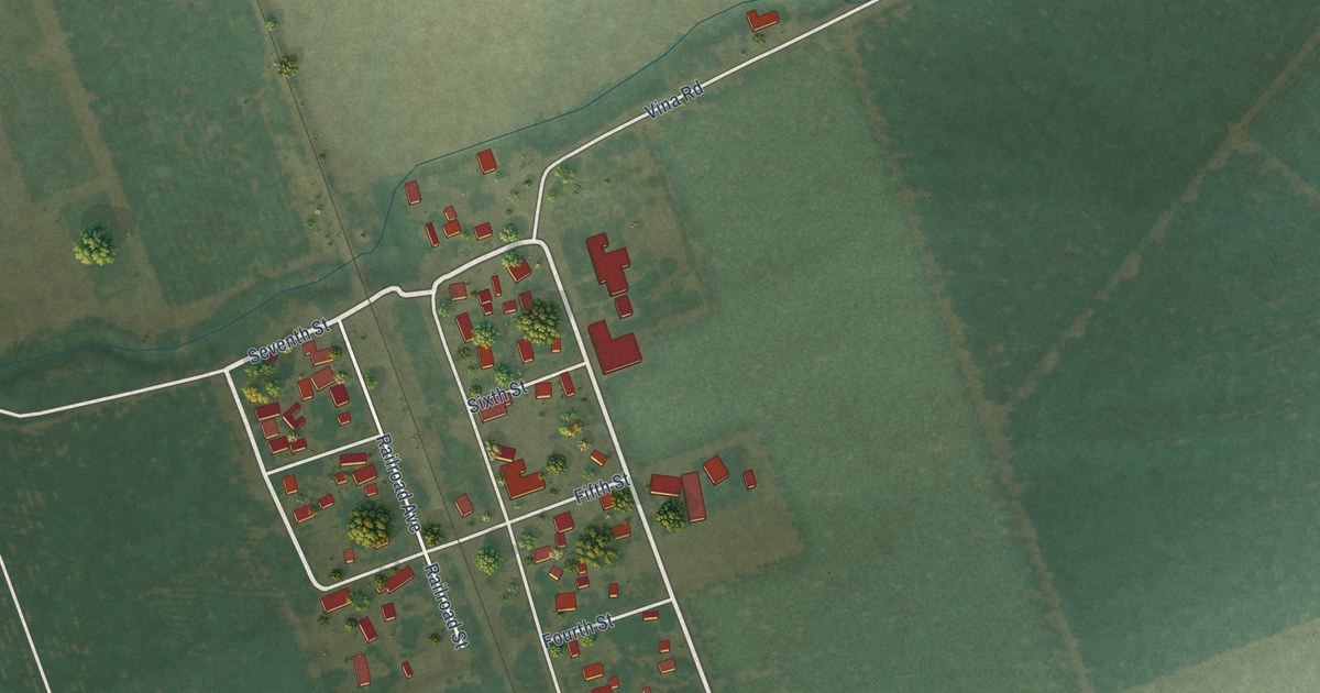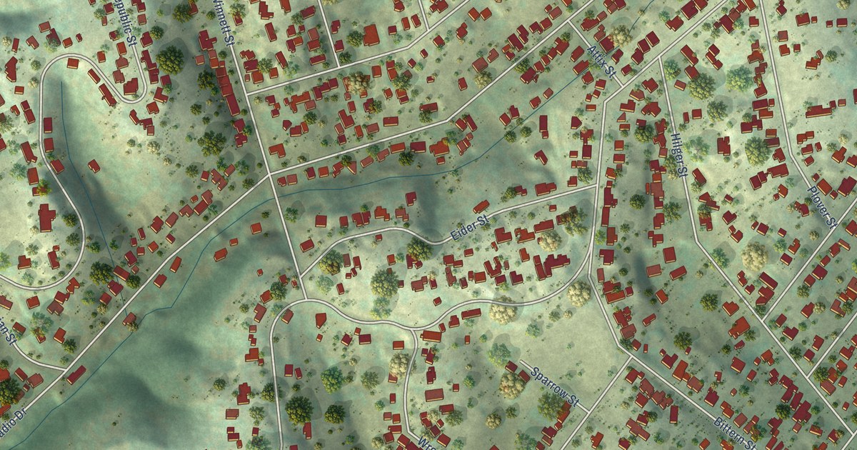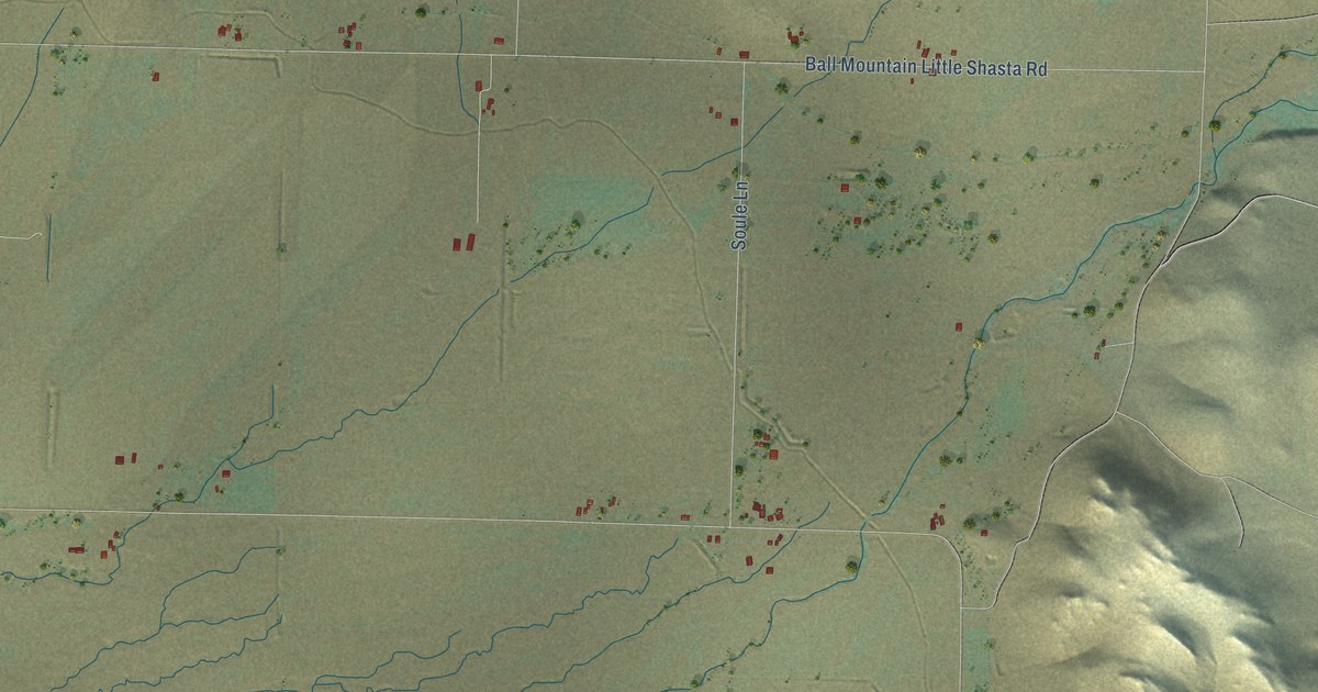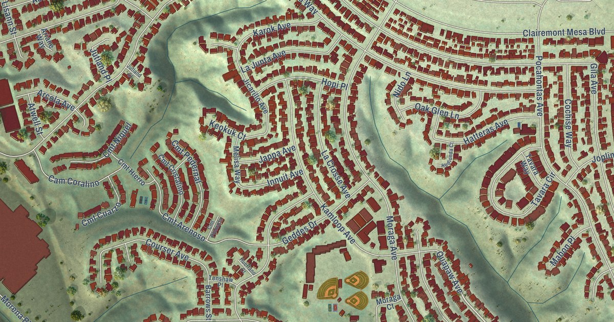
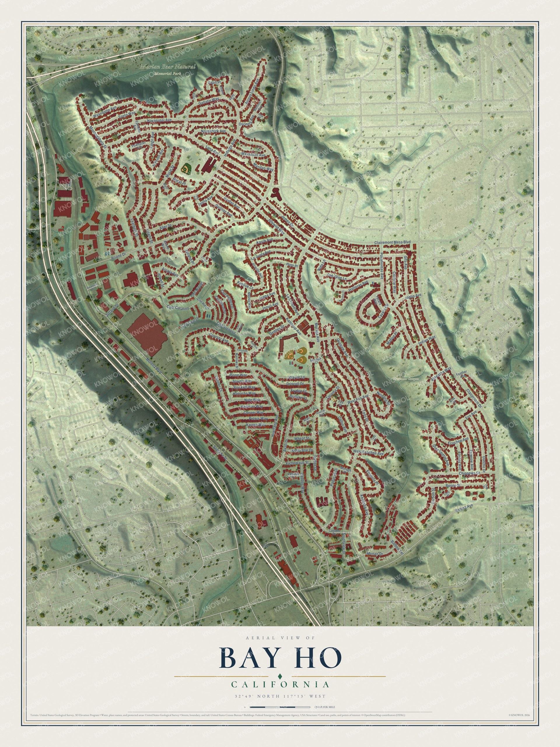
This beautifully detailed map of Bay Ho, California was created in 2026 using aerial imagery combined with modern topographical, census, street and landmark data. It’s a one-of-a-kind view of Bay Ho that combines accurate data with a vintage aesthetic. The map shows every building in its true location, many of the roads carry their names, and the shaded topographic relief shows the shape of the land.
Explore an aerial view of Bay Ho, California
On the map you’ll find Marian Bear Natural Memorial Park and Stevenson Canyon, along with West Fox Avenue, Nemaha Drive, Quapaw Avenue, Santa Fe Street, Morena Boulevard, Moraga Avenue, Jutland Drive, Jemez Drive, Idlewild Way, Luna Avenue, and more. If you look closely you can even find your house accurately drawn in its correct location. Zoom in on the preview to look for yours.
Take a closer look at the Bay Ho map
Names on this map
These names are printed on this map.
Places: Marian Bear Natural Memorial Park and Stevenson Canyon.
Streets and roads: West Fox Avenue, Nemaha Drive, Quapaw Avenue, Santa Fe Street, Morena Boulevard, Moraga Avenue, Jutland Drive, Jemez Drive, Idlewild Way, Luna Avenue, Huerfano Avenue, Gila Avenue.
More street names, A to Z
Aber Street, Arcola Avenue, Ariane Drive, Ariane Way, Arroyo Lindo Avenue, Atari Court, Atwell Street, Avati Drive, Balboa Avenue, Balboa Terrace, Barby Place, Barrows Street, Boone Street, Brillden Court, Cadden Drive, Cadden Way, Caflur Avenue, Cam Coralino, Carson Street, Chippewa Court, Clairemont Drive, Clairemont Mesa Boulevard, Cmt Arenoso, Cmt Cristalino, Cmt Cuarzo, Cmt Hierro, Cmt Niquel, Cmt Pedernal, Cmt Plomada, Cochise Way, Cody Street, Conner Court, Conner Way, Courser Avenue, Damon Avenue, Datcho Drive, Della Place, Dow Place, Driscoll Drive, East Street, Ecochee Avenue, Edell Place, Edwin Place, Eichenlaub Street, El Penon Way, Elsinore Place, Epanow Avenue, Epinette Avenue, Fargo Avenue, Fawn Avenue, Feather Avenue, Financial Court, Forney Avenue, Fox Avenue, Fox Place, Fryden Court, Gallatin Way, Geddes Drive, Gila Court, Gros Ventre Avenue, Guilitoy Avenue, Haidas Avenue, Hartman Way, Hatteras Avenue, Havasupai Avenue, Hedionda Court, Hiawatha Way, Hidalgo Avenue, Hopi Place, Huerfano Court, Hunrichs Way, Indian Way, Innuit Avenue, Isleta Avenue, Jappa Avenue, Jicarillo Avenue, Joplin Avenue, Jutland Court, Jutland Place, Kamloop Avenue, Karnes Way, Karok Avenue, Kenosha Avenue, Keokuk Court, La Crosse Avenue, La Junta Avenue, Leathers Street, Lisann Street, Mabon Place, Mandan Way, Massasoit Avenue, Melisa Way, Monair Drive, Monongahela Street, Moraga Court, Moraga Place, Murat Court, Murat Place, Murat Street, Naugatuck Avenue, Nido Lane, North Star Drive, Nute Way, Oak Glen Lane, Osceola Avenue, Paducah Drive, Peters Way, Petunia Court, Plone Way, Pocahontas Avenue, Powhatan Avenue, Raffee Drive, Slayen Way, Southview Drive, Stockett Way, Sunline Avenue, Tacoma Street, Taos Drive, Taos Place, Tavara Circle, Tavara Way, Tenshaw Place, Tonto Way, Wayne Lane, West Ecochee Avenue, Wheat Street, Wyandotte Avenue, Yucca Avenue, Zed Street.
See it on a wall
The Bay Ho map as a framed print. Swipe for more.


This beautifully detailed map of Bay Ho makes an attractive addition to your office, library, or den, and it can even be used to teach children the geography and history of the area. It also makes a great gift for someone who left Bay Ho and still calls it home. When you’re done exploring, click here to get your copy of the Bay Ho map.