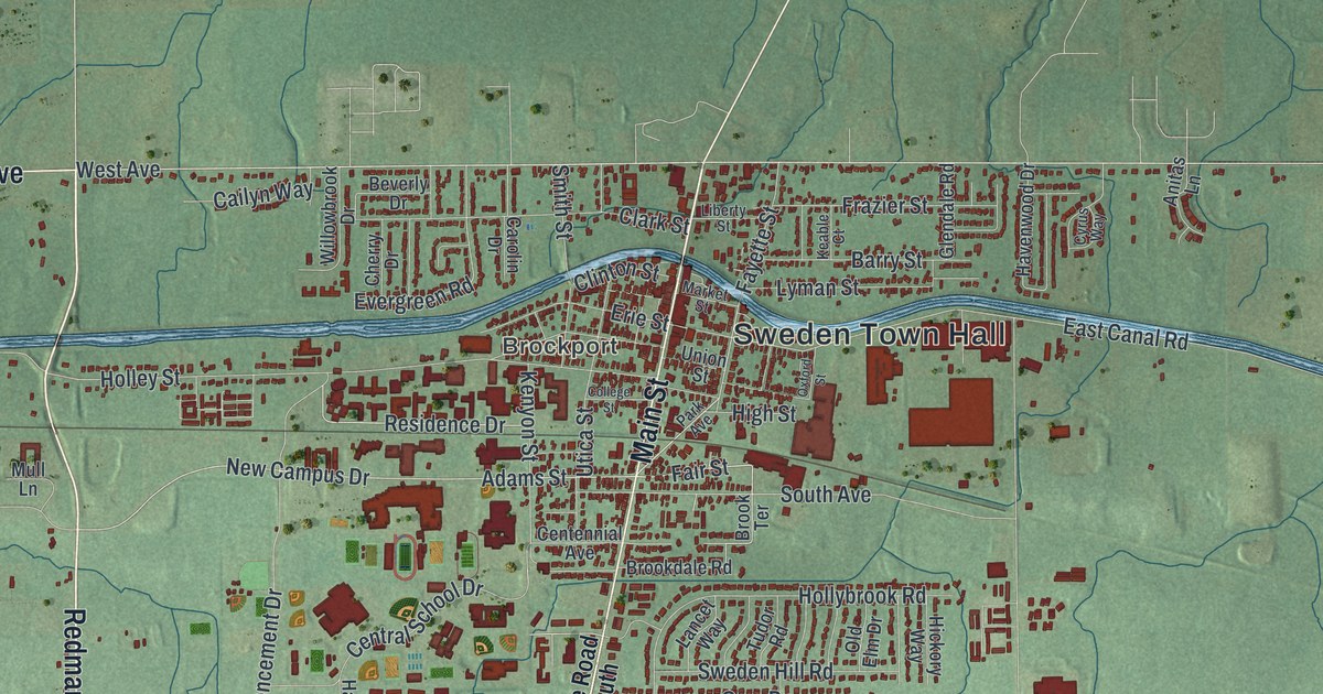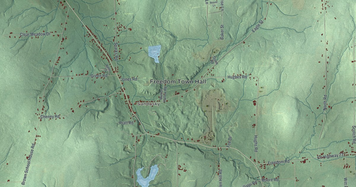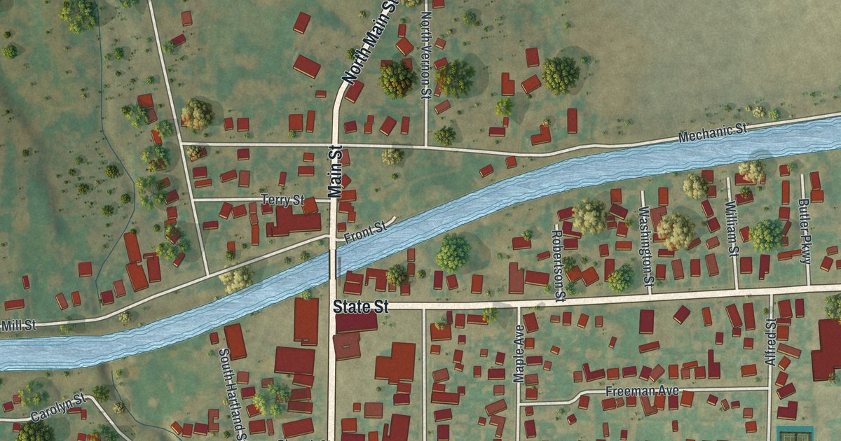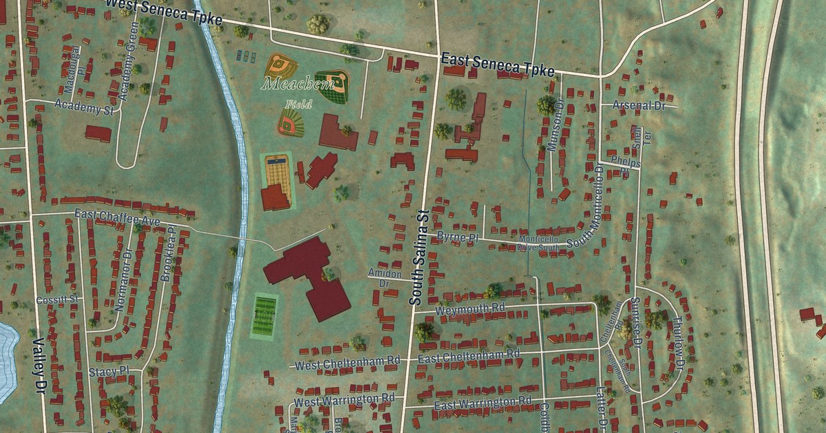
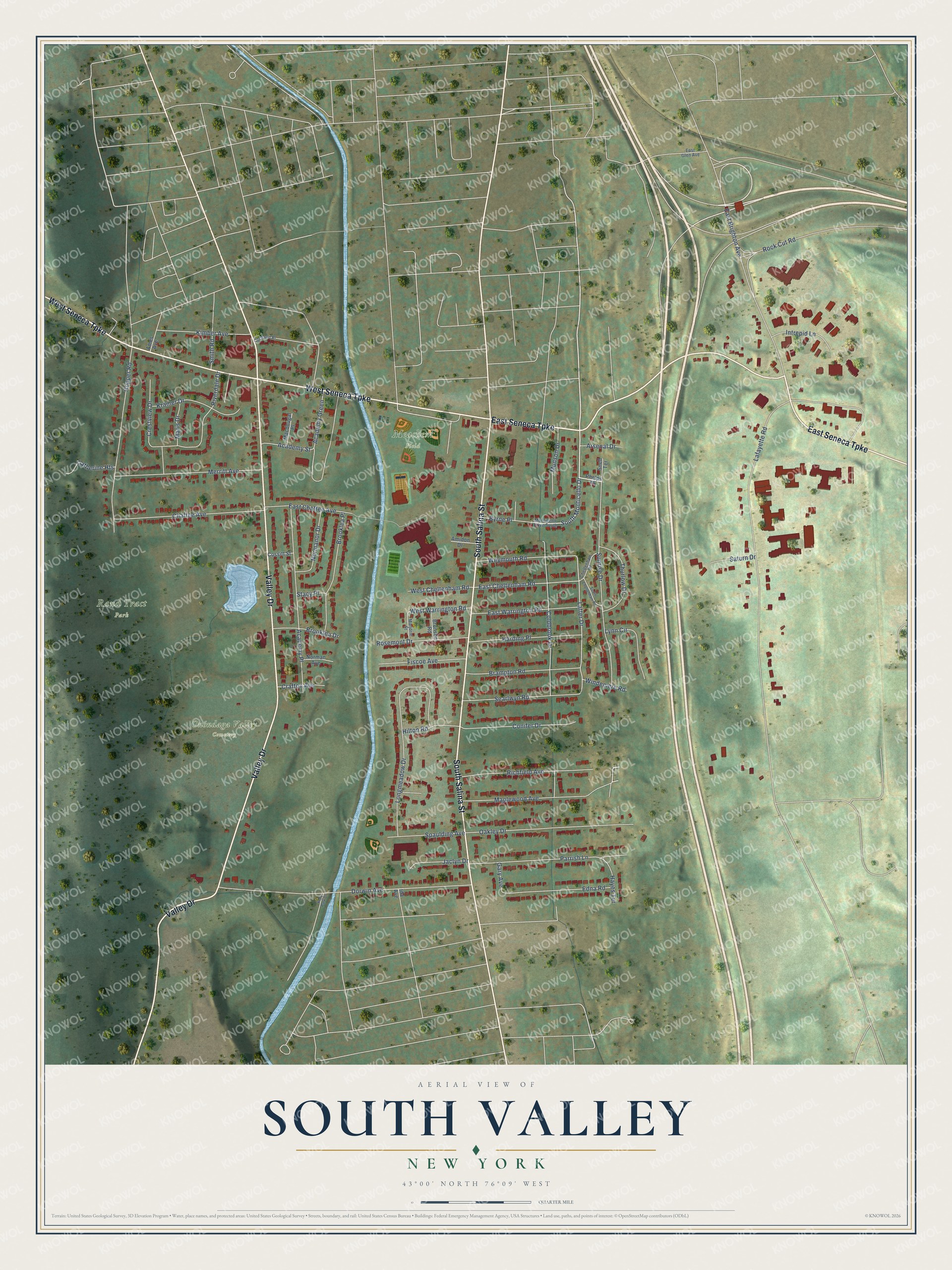
This beautifully detailed map of South Valley, New York was created in 2026 using aerial imagery combined with modern topographical, census, street and landmark data. It’s a one-of-a-kind view of South Valley that combines accurate data with a vintage aesthetic. The map shows every building in its true location, many of the roads carry their names, and the shaded topographic relief shows the shape of the land.
Explore an aerial view of South Valley, New York
On the map you’ll find Meachem Field, Onondaga Valley Cemetery, and Rand Tract Park, along with Valley Drive, South Salina Street, West Seneca Turnpike, East Seneca Turnpike, South Monticello Drive, Latter Drive, East Cheltenham Road, Lafayette Road, Dorwin Avenue, and more. If you look closely you can even find your house accurately drawn in its correct location. Zoom in on the preview to look for yours.
Did You Know?
From Internet Archive: "Hopkins settled at South Valley, Elijah and Daniel Abbott, Elias Van Scoter, and Thomas Quick, all from Peun., at De tt'itts Valley, and Samuel Boy- Ian, at Wliitncv Vallcv, in IIKIG."
South Valley is a place in Onondaga County.
Take a closer look at the South Valley map
Names on this map
These names are printed on this map.
Places: Meachem Field, Onondaga Valley Cemetery and Rand Tract Park.
Streets and roads: Valley Drive, South Salina Street, West Seneca Turnpike, East Seneca Turnpike, South Monticello Drive, Latter Drive, East Cheltenham Road, Lafayette Road, Dorwin Avenue, East Brighton Avenue, Longmeadow Drive, Sunrise Drive.
More street names, A to Z
Academy Green, Academy Place, Academy Street, Ames Avenue, Amidon Drive, Arsenal Drive, Brampton Road, Bronson Road, Brooklea Drive, Brooklea Place, Byrne Place, Catherine Heights, Chaffee Avenue, Cheltenham Road, Coldbrook Drive, Conifer Drive, Cortland Place, Cossitt Street, Crafton Avenue, Crestview Drive, East Chaffee Avenue, East Glen Avenue, East Warrington Road, Edna Road, Fiscoe Avenue, Gary Avenue, Harding Place, Hayes Terrace, Hilton Road, Hopper Road, Ida Avenue, Intrepid Lane, Jaclyn Drive, Kelly Park Drive, Kimber Avenue, Kramer Drive, Lynn Circle, Macdougal Place, Maplewood Avenue, Maris Drive, Marjorie Street, Merritt Avenue, Monticello Drive South, Munson Drive, Norman Avenue, Normanor Drive, Oakley Drive, Parrish Lane, Phelps Place, Richfield Avenue, Riverdale Drive, Rock Cut Road, Rosemont Drive, Saturn Drive, Searlwyn Road, Smith Road, Snell Terrace, South Cheltenham Road, Spaulding Avenue, Stacy Place, Thurlow Drive, West Cheltenham Road, West Warrington Road, Weymouth Road, Windemere Road.
See it on a wall
The South Valley, Syracuse map as a framed print. Swipe for more.


This beautifully detailed map of South Valley, Syracuse makes an attractive addition to your office, library, or den, and it can even be used to teach children the geography and history of the area. It also makes a great gift for anyone with South Valley roots. When you’re done exploring, click here to get your copy of the South Valley, Syracuse map.