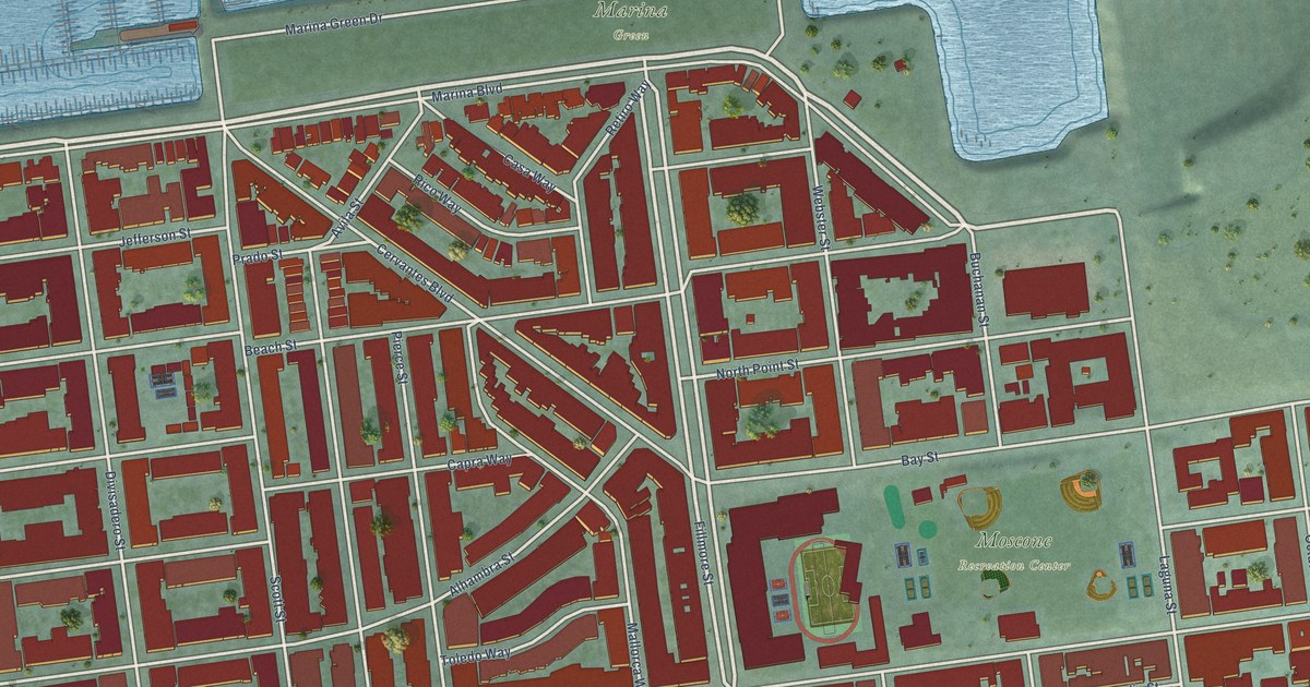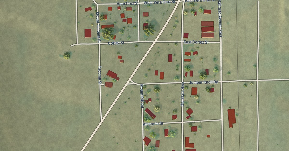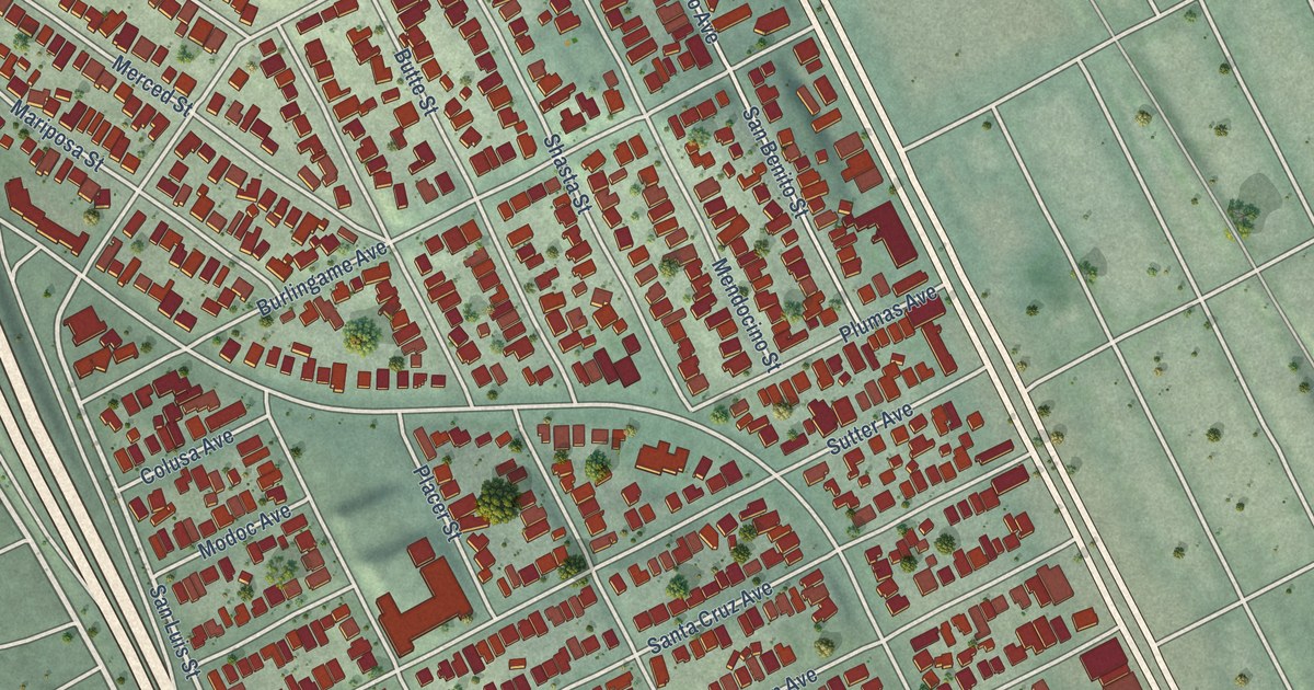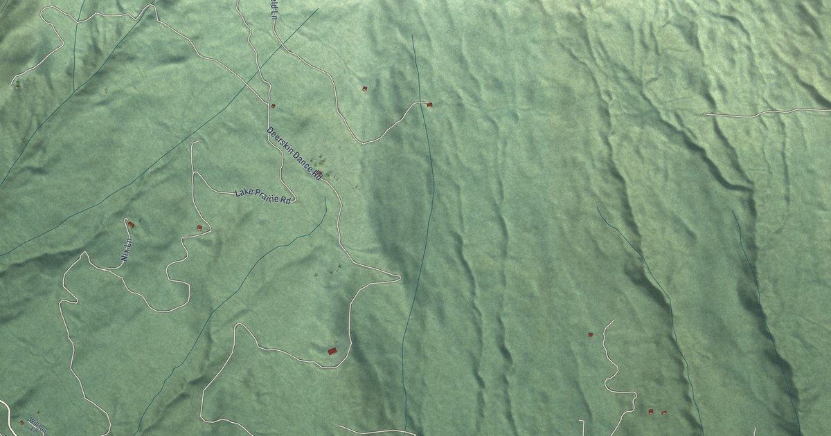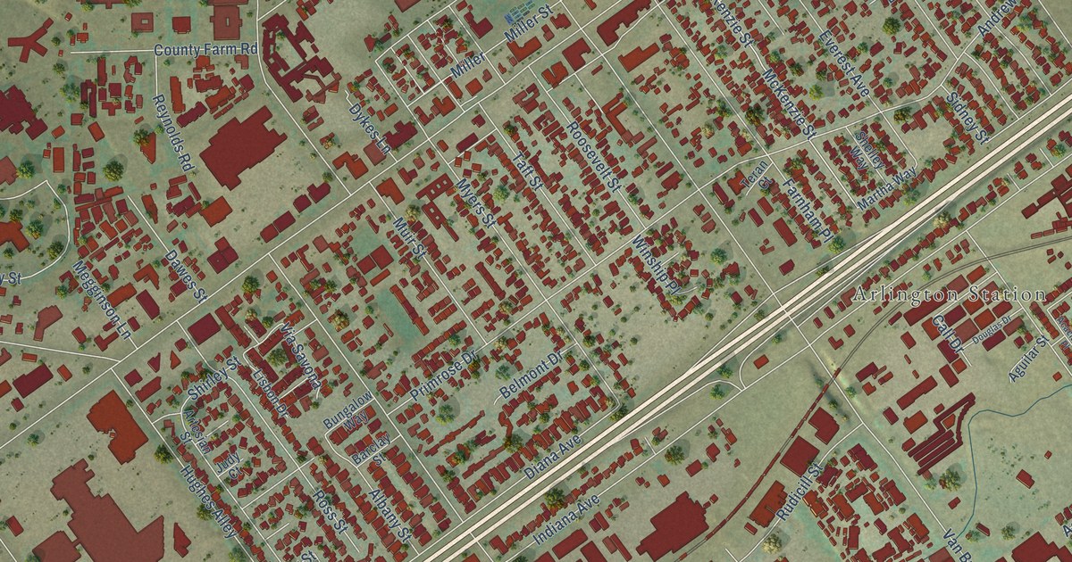
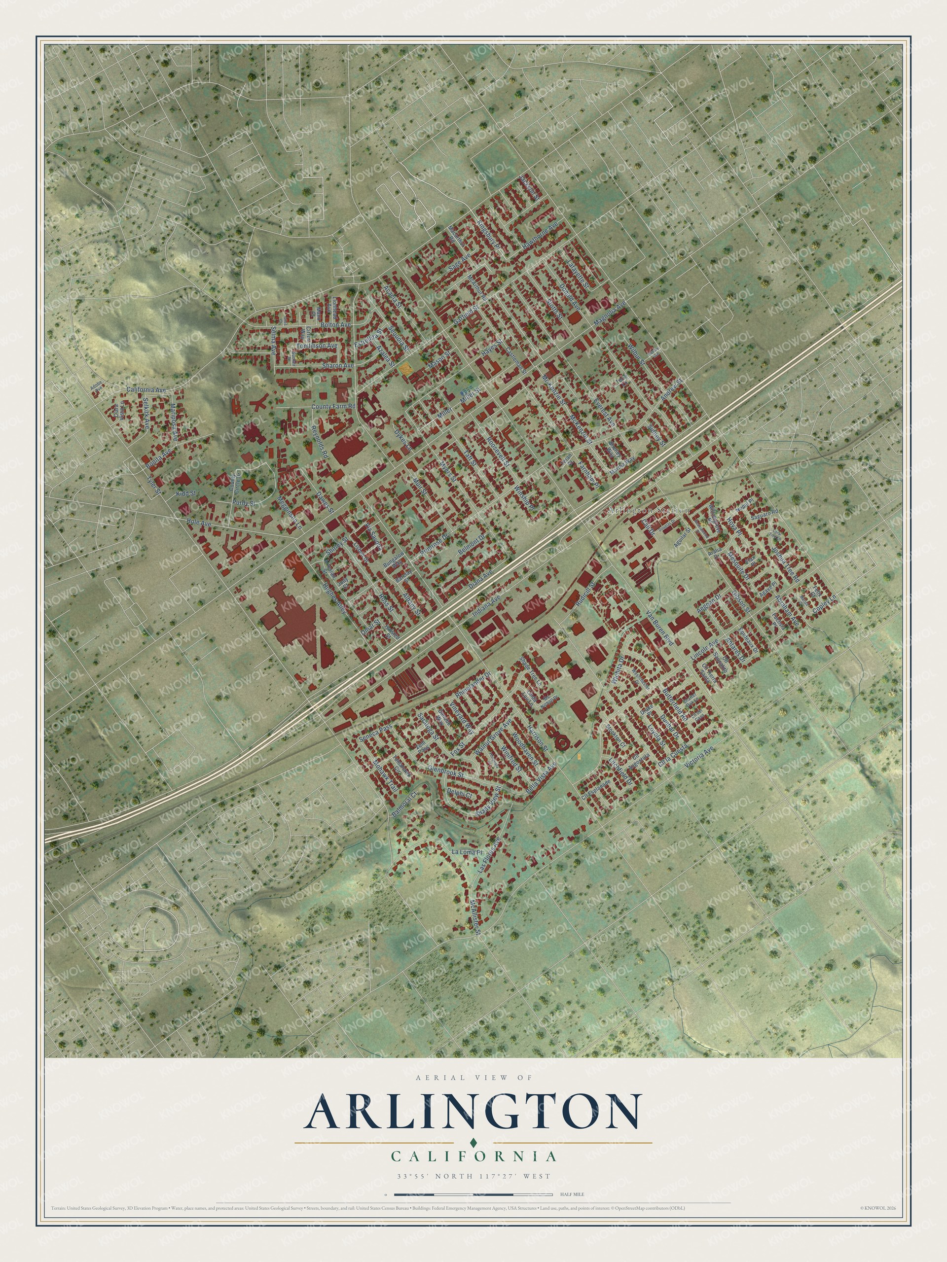
This beautifully detailed map of Arlington, California was created in 2026 using aerial imagery combined with modern topographical, census, street and landmark data. It’s a one-of-a-kind view of Arlington that combines accurate data with a vintage aesthetic. The map shows every building in its true location, many of the roads carry their names, and the shaded topographic relief shows the shape of the land.
Explore an aerial view of Arlington, California
On the map you’ll find Arlington Station, Kingsbury Place, and Miller, along with Copley Lane, Harrison Street, Van Buren Boulevard, Victoria Avenue, Magnolia Avenue, Indiana Avenue, Myers Street, Tyler Street, Lincoln Avenue, and more. If you look closely you can even find your house accurately drawn in its correct location. Zoom in on the preview to look for yours.
Did You Know?
From Internet Archive: "Join a company in West Cambridge (now Arlington.) The company went to church Sunday in the Unitarian, Orthodox and Baptist churches, on invitation."
Arlington is a place in Riverside County.
Take a closer look at the Arlington map
Names on this map
These names are printed on this map.
Places: Arlington Station.
Streets and roads: Kingsbury Place, Copley Lane, Miller, Harrison Street, Van Buren Boulevard, Victoria Avenue, Magnolia Avenue, Indiana Avenue, Myers Street, Tyler Street, Lincoln Avenue, Diana Avenue.
More street names, A to Z
Abraham Avenue, Acacia Street, Acaciawood Place, Adobe Avenue, Aegean Drive, Agave Place, Aguilar Street, Albany Street, Andrew Street, Antares Drive, Aralia Drive, Artesian Street, Azalea Street, Balmoral Court, Barclay Street, Bella Vista Avenue, Belmont Drive, Bolton Avenue, Bonita Avenue, Bordeaux Drive, Bungalow Way, Butterfield Road, California Avenue, Call Drive, Castleman Street, Charter Oak Lane, Cirrus Way, Clara Vista Lane, Cll Angostura, Cll del Casa, Cll Esplanade, Cll la Cuesta, Cll Sausalito, Cll Tierra Santa, Coral Tree Lane, County Circle Drive, County Farm Road, Danube Way, Dawes Street, Delphi Court, Donald Avenue, Douglas Drive, Drake Place, Dunbar Drive, Dykes Lane, Estrellita Street, Everest Avenue, Farnham Place, Felix Court, Flax Place, Floravista Court, Fox Street, Fuchsia Place, Garfield Street, Gibson Street, Giles Court, Glenbrook Street, Halsted Street, Hawthorne Avenue, Hayes Street, Hendry Avenue, Hole Avenue, Hoya Place, Hughes Alley, Jackson Street, Joshua Tree Road, Judy Court, Kidd Street, Lafayette Street, La Loma Place, Las Flores Avenue, Linda Lou Lane, Lionhead Avenue, Lisbon Drive, Litchfield Drive, Loyola Street, Macarthur Road, Manx Court, Mariposa Avenue, Marisa Court, Martha Way, Mason Street, McAllister Street, McArthur Road, Mc Kenzie Street, McKenzie Street, Mc Nicholl Drive, Megginson Lane, Mesquite Drive, Miller Street, Mohawk Trail, Muir Street, Nopal Place, Omar Street, Primrose Drive, Purdy Street, Reynolds Road, Rhinelander Drive, Roosevelt Street, Ross Street, Rudicill Street, Sage Avenue, Saguaro Road, Saratoga Street, Selkirk Avenue, Selma Avenue, Seneca Pass, Sequoia Street, Shade Tree Lane, Shady View Street, Sharon Avenue, Shelley Way, Shirley Street, Sidney Street, Stockton Court, Stotts Street, Sunfair Lane, Taft Street, Teran Court, Terry Lane, Tomahawk Circle, Tomlinson Avenue, Via Savona, Vineyard Way, Walnut Grove Avenue, Westchester Drive, Wichita Drive, Wilbur Street, Willowgrove Place, Winifred Street, Winship Place, Woodhaven Street, Zuni Pass.
See it on a wall
The Arlington map as a framed print. Swipe for more.


This beautifully detailed map of Arlington makes an attractive addition to your office, library, or den, and it can even be used to teach children the geography and history of the area. It also makes a great gift for anyone with Arlington roots. When you’re done exploring, click here to get your copy of the Arlington map.