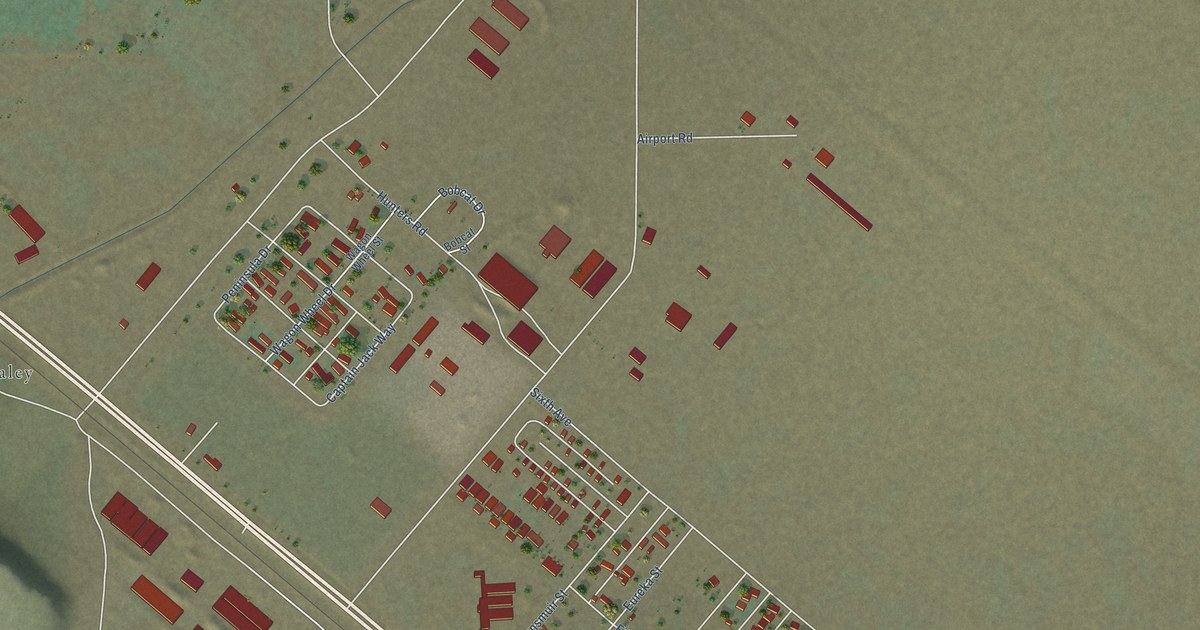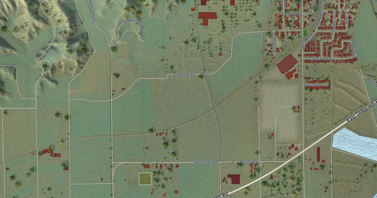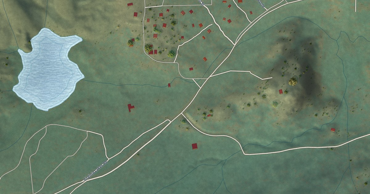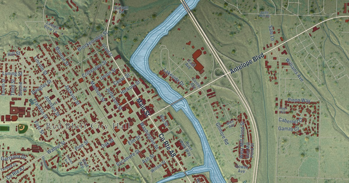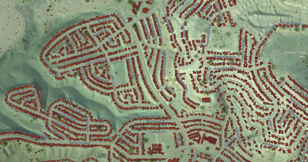
This beautifully detailed map of Del Cerro, California was created in 2026 using aerial imagery combined with modern topographical, census, street and landmark data. It’s a one-of-a-kind view of Del Cerro that combines accurate data with a vintage aesthetic. The map shows every building in its true location, many of the roads carry their names, and the shaded topographic relief shows the shape of the land.
Explore an aerial view of Del Cerro, California
On the map you’ll find Adobe Falls Ecological Reserve, Mission Trails Regional Park, Cmt Estrellado, and Cam Estrellado, along with Madra Avenue, Glenmont Street, Murray Park Drive, Pasatiempo Avenue, Cambria Court, Lancaster Drive, Waring Road, Zephyr Lane, and more. If you look closely you can even find your house accurately drawn in its correct location. Zoom in on the preview to look for yours.
Take a closer look at the Del Cerro map
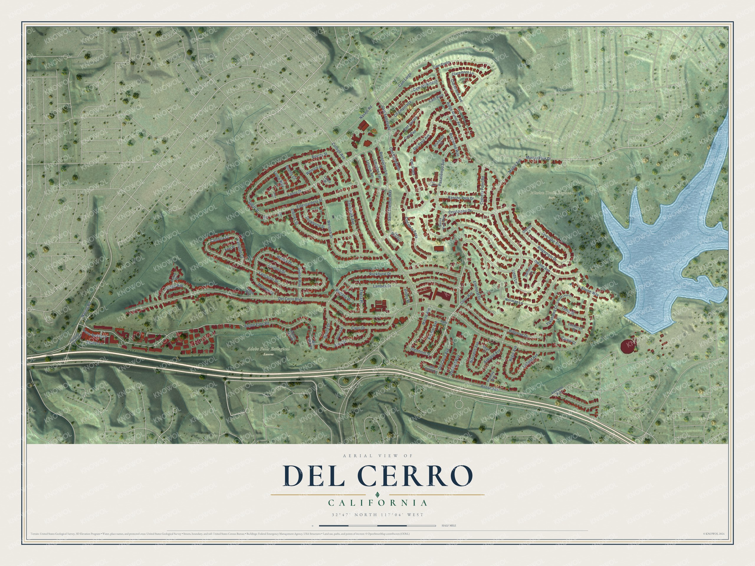
Names on this map
These names are printed on this map.
Places: Adobe Falls Ecological Reserve and Mission Trails Regional Park.
Streets and roads: Madra Avenue, Glenmont Street, Murray Park Drive, Pasatiempo Avenue, Cambria Court, Lancaster Drive, Cmt Estrellado, Waring Road, Zephyr Lane, Cam Estrellado, Henley Drive, Spear Street.
More street names, A to Z
Adelante Avenue, Adobe Falls Place, Adobe Falls Road, Airoso Avenue, Altair Court, Alvarado Canyon Road, Arboles Street, Arno Drive, Ashland Avenue, Bernadette Lane, Bounty Court, Bounty Street, Breton Way, Bromley Way, Brynwood Court, Brynwood Way, Calvin Way, Cam Corto, Cam del Rincon, Cam Largo, Cam Rico, Capri Drive, Cavite Court, Chrismark Avenue, Ciudad Leon Court, Claremore Avenue, Claremore Lane, Cll Empinada, Cmt de la Taza, Cmt Pan, Cmt Plata, Cmt Sacate, Cmt Tenedor, College Avenue, Crystalaire Drive, Cypress Point Road, Daffodil Lane, Dartford Way, Del Cerro Avenue, Del Cerro Boulevard, Del Cerro Court, Del Paso Avenue, Dwane Avenue, Edinburgh Court, Elaine Way, Elder Court, Eldergardens Street, Elder Place, Elmhurst Drive, Genoa Drive, Glenlea Lane, Hampton Court, Helena Place, Hillgrove Drive, Kent Place, Kona Spring Lane, Lambda Drive, Lance Court, Lance Place, Lance Street, Lance Way, Linda Lane, Linfield Avenue, Lisieux Terrace, Lomond Drive, Lourdes Terrace, Lyden Way, Malvern Court, Marne Avenue, Meredith Avenue, Mill Peak Road, Navajo Road, Norman Lane, Overlake Avenue, Rancho Park Drive, Raydel Court, Raymar Avenue, Regis Avenue, Ridge Manor Avenue, Ridgemoor Drive, Rockhurst Drive, Romany Drive, Saint Denis Terrace, Saint Therese Way, Sierra View Way, Snowbond Street, Tema Street, Theta Place, Trinity Place, Trinity Way, Vinley Place, Wenrich Drive, Wenrich Place, Yokohama Court.
See it on a wall
The Del Cerro map as a framed print. Swipe for more.


This beautifully detailed map of Del Cerro makes an attractive addition to your office, library, or den, and it can even be used to teach children the geography and history of the area. It also makes a great gift for anyone who grew up in Del Cerro or moved away. When you’re done exploring, click here to get your copy of the Del Cerro map.