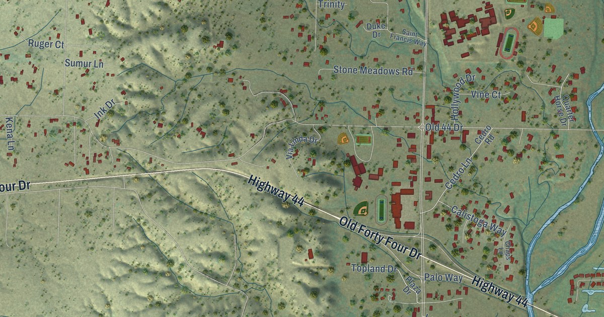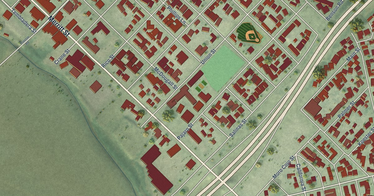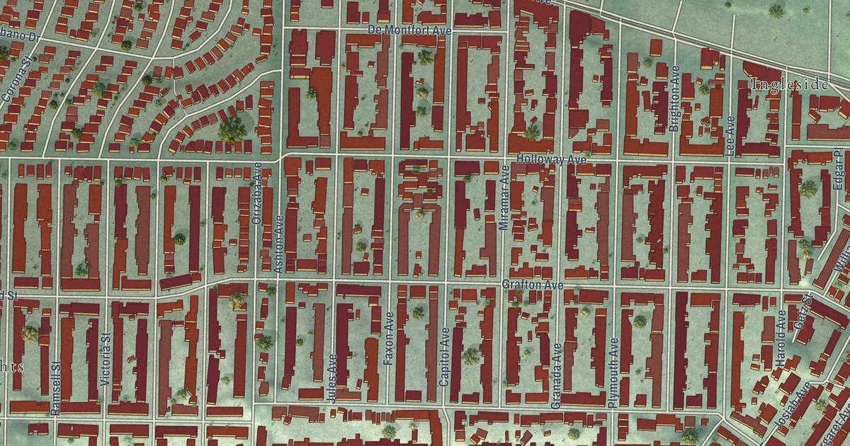
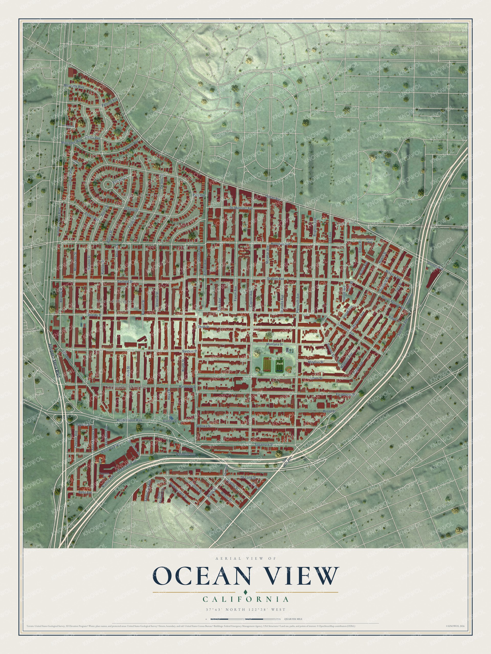
This beautifully detailed map of Ocean View, California was created in 2026 using aerial imagery combined with modern topographical, census, street and landmark data. It’s a one-of-a-kind view of Ocean View that combines accurate data with a vintage aesthetic. The map shows every building in its true location, many of the roads carry their names, and the shaded topographic relief shows the shape of the land.
Explore an aerial view of Ocean View, California
On the map you’ll find Ocean View Park, Ingleside, Ingleside Heights, and Merced Heights, along with Ingleside Terrace, Junipero Serra Boulevard, Alemany Boulevard, Rhine Street, Goethe Street, San Jose Avenue, Shakespeare Street, Sagamore Street, and more. If you look closely you can even find your house accurately drawn in its correct location. Zoom in on the preview to look for yours.
Did You Know?
From Internet Archive: "Immediately after his arrival in the west the senior Johnson settled in Santa Cruz and bought the Ocean View house, which site and hotel forms a part of the present Sea Beach hotel."
Ocean View is a place in San Francisco County.
Take a closer look at the Ocean View map
Names on this map
These names are printed on this map.
Places: Ocean View Park, Ingleside, Ingleside Terrace, Ingleside Heights and Merced Heights.
Streets and roads: Junipero Serra Boulevard, Alemany Boulevard, Rhine Street, Goethe Street, San Jose Avenue, Shakespeare Street, Sagamore Street, Saint Charles Avenue, Niantic Avenue, Payson Street, De Long Street, Grafton Avenue.
More street names, A to Z
19th Avenue, Alviso Street, Arch Street, Ashton Avenue, Belle Avenue, Beverly Street, Borica Street, Brighton Avenue, Bright Street, Broad Street, Brotherhood Way, Bruce Avenue, Byxbee Street, Caine Avenue, Capitol Avenue, Cedro Avenue, Cerritos Avenue, Chester Avenue, Corona Street, Crystal Street, De Montfort Avenue, De Soto Street, Edgar Place, El Plazuela Street, Entrada Court, Estero Avenue, Farallones Street, Faxon Avenue, Flournoy Street, Garfield Street, Geneva Avenue, Getz Street, Granada Avenue, Harold Avenue, Head Street, Holloway Avenue, Howth Street, Josiah Avenue, Jules Avenue, Kempton Avenue, Lakeview Avenue, Lee Avenue, Lobos Street, Louisburg Street, Lunado Court, Lunado Way, Majestic Avenue, Margaret Avenue, Mercedes Way, Minerva Street, Miramar Avenue, Moncada Way, Montana Street, Monticello Street, Mount Vernon Avenue, Niagara Avenue, Ocean Avenue, Ocean View Terrace, Orizaba Avenue, Palmetto Avenue, Paloma Avenue, Panama Street, Pico Avenue, Plymouth Avenue, Ralston Street, Ramsell Street, Randolph Street, Rice Street, Ridge Lane, Sadowa Street, San Miguel Street, Santa Barbara Avenue, Santa Cruz Avenue, Sargent Street, Shields Street, Stanley Street, Summit Street, Tara Street, Thrift Street, Urbano Drive, Vernon Street, Victoria Street, Williar Avenue, Wilson Street, Worcester Avenue.
See it on a wall
The Ocean View map as a framed print. Swipe for more.


This beautifully detailed map of Ocean View makes an attractive addition to your office, library, or den, and it can even be used to teach children the geography and history of the area. It also makes a great gift for anyone with Ocean View roots. When you’re done exploring, click here to get your copy of the Ocean View map.