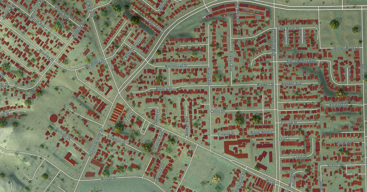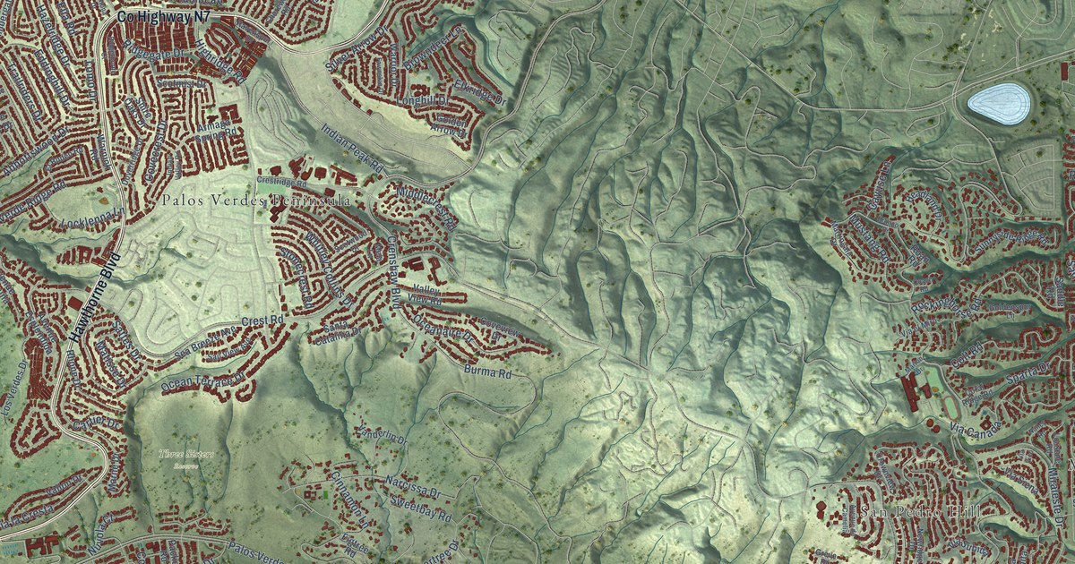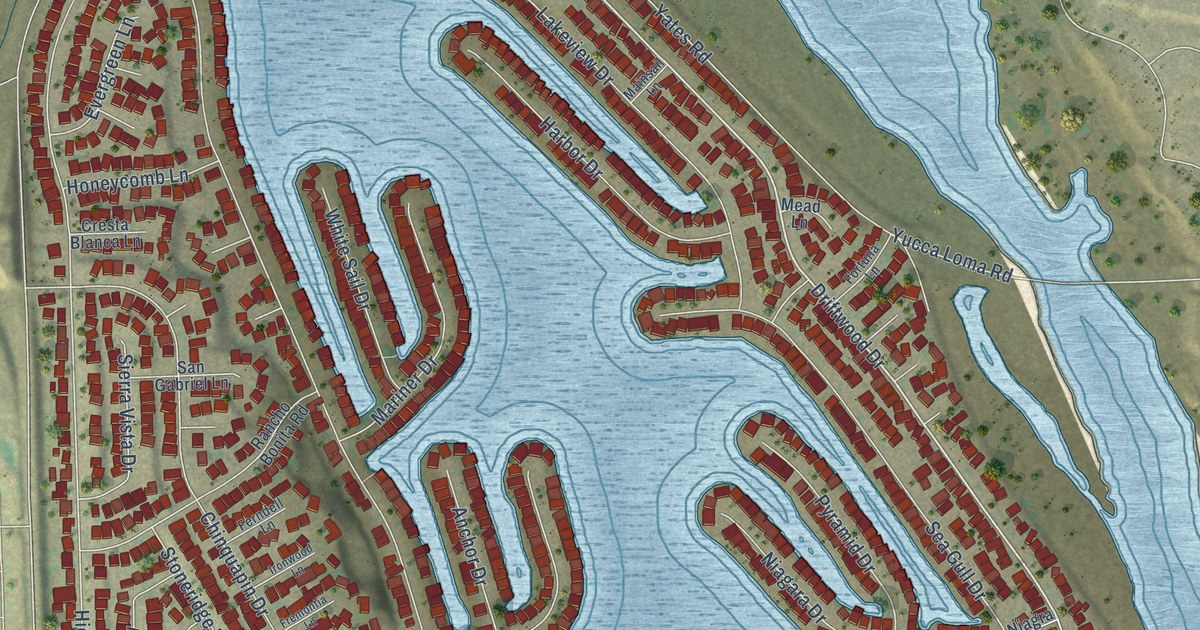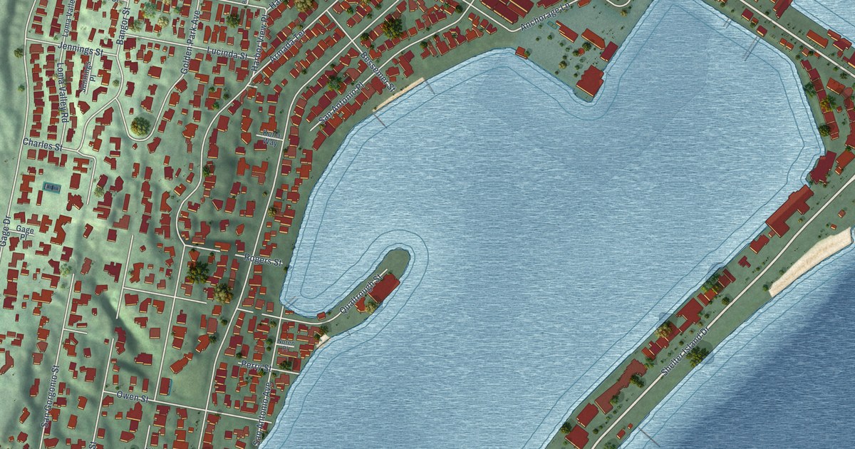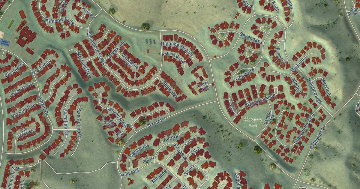
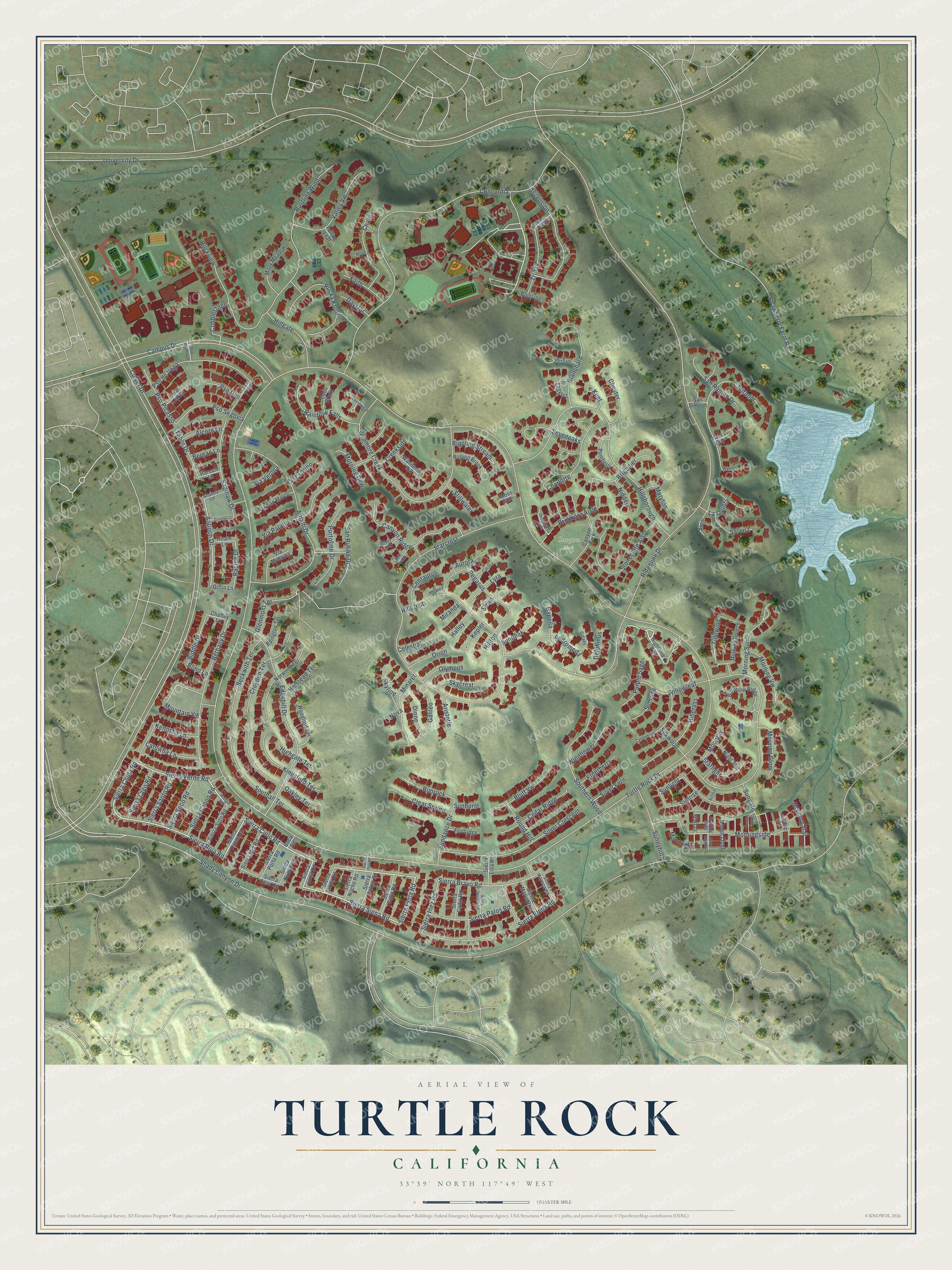
This beautifully detailed map of Turtle Rock, California was created in 2026 using aerial imagery combined with modern topographical, census, street and landmark data. It’s a one-of-a-kind view of Turtle Rock that combines accurate data with a vintage aesthetic. The map shows every building in its true location, many of the roads carry their names, and the shaded topographic relief shows the shape of the land.
Explore an aerial view of Turtle Rock, California
On the map you’ll find Canyon Park, along with Sierra Siena Road, Sierra Roja Road, Sierra Cielo Road, Sierra Chula Road, Sierra Perla Road, Sierra Verde Road, Sierra Bravo Road, Shady Canyon Drive, Antioch Drive, Racine Drive, Sierra Inez Road, and more. If you look closely you can even find your house accurately drawn in its correct location. Zoom in on the preview to look for yours.
Did You Know?
Turtle Rock was one of the five villages that first made up Irvine. It was founded in 1967, and a turtle sculpture in the community park marks that start. In 2021 the city ran surveys and met with indigenous leaders. Then it officially named the village’s tallest hill Sunset Point.
Take a closer look at the Turtle Rock map
Names on this map
These names are printed on this map.
Places: Canyon Park.
Streets and roads: Sierra Siena Road, Sierra Roja Road, Sierra Cielo Road, Sierra Chula Road, Sierra Perla Road, Sierra Verde Road, Sierra Bravo Road, Shady Canyon Drive, Antioch Drive, Racine Drive, Sierra Inez Road, Turtle Rock Drive.
More street names, A to Z
Alcorn Lane, Alejo, Altoona Lane, Amalfi Drive, Amigo Road, Andromeda, Antares, Aristotle, Ascension, Aurora, Baristo, Beckwith Terrace, Berean Lane, Bethany Drive, Biddle Drive, Blanchard, Blessing, Blinn Lane, Bluff Vw, Boca Road, Brigadier, Brigmore Aisle, Campus Drive, Candlebush, Canyon Ridge, Capella, Carina, Catowba Lane, Cedar Ridge, Celestial, Centaurus, Chaffey Lane, Charity, Charlotte, Chester, Clear Spring, Cobblestone, Concordia, Cool Brook, Creekside, Croyden Terrace, Culver Drive, Daystar, Delphinus, Del Rey, Dione, Edgehill Drive, Edington Terrace, Elderberry, Evening Breeze, Evening Song, Faith, Falling Leaf, Flintridge, Galaxy, Galileo, Giffin Lane, Glenmont Terrace, Grinnell Lane, Haggerston Aisle, Halley, Halstead Terrace, Harcum Lane, Hexham, Highgate Terrace, Highland Vw, Hillcrest, Hillgate, Hillgrass, Hillsborough, Hilltop, Hiram Lane, Hope, Joy, Kenosha Lane, Kent, Kepler, Kingsford Terrace, La Quinta, Lyra, Meryton, Mill Creek, Minaret, Mirador, Miranda, Misty Meadows, Misty Shadow, Moon Dust, Moonlight, Moonray, Morning Breeze, Morning Dew, Morning Glory, Morning Mist, Morningside, Morning Star, Morning Sun, Morning Vw, Moss Glen, Mountain Vw, Nidden, Night Star, Norwood Terrace, Nova, Oakley Terrace, Olympus, Orion, Pegasus, Pemberly, Portofino Drive, Pso Cortez, Pso Dali, Pso de Vega, Pso Montoya, Pso Picasso, Pso Pizarro, Pso Segovia, Purple Sage, Rainbow Falls, Rainbow Ridge, Ridgeline Drive, Rimrock, Rippling Stream, Rockview, Rocky Knoll, Rolling Brook, Round Hill, Rustling Wind, Saginaw Drive, San Ramon Drive, San Rufino Drive, San Simeon, Sarena, Sevenoaks, Sierra Bello Road, Sierra Cadiz Road, Sierra Calmo Road, Sierra Canon Road, Sierra Casa Road, Sierra Elena Road, Sierra Gerona Road, Sierra Lago Road, Sierra Linda Road, Sierra Lisa Road, Sierra Luna Road, Sierra Majorca Road, Sierra Maria Road, Sierra Mia Road, Sierra Noche Road, Sierra Nuevo Road, Sierra Oro Road, Sierra Palos Road, Sierra Porto Road, Sierra Raton Road, Sierra Santo Road, Sierra Seco Road, Sierra Soto Road, Silent Night, Silkwood, Silver Creek, Silver Crescent, Silver Fern, Sirius, Skycrest, Skyline, Southall Terrace, Southern Wood, Starcrest, Starfall, Starlight, Stillwater, Stonecliffe Aisle, Strawberry Farm Road, Sunburst, Sundance Drive, Sundial, Sungate, Sunlight, Sunnyhill, Sunpeak, Sunrise, Sunrose, Sweetwater, Sycamore Creek, Tabor Drive, Taggert, Tidewind, Trinity, University Drive, Valley Vw, Via Messina, Via Palatino, Via San Marco, Via Torino, Via Verona, Wandering Rill, Willowleaf, Windflower, Woodford Terrace.
See it on a wall
The Turtle Rock map as a framed print. Swipe for more.


This beautifully detailed map of Turtle Rock makes an attractive addition to your office, library, or den, and it can even be used to teach children the geography and history of the area. It also makes a great gift for someone who left Turtle Rock and still calls it home. When you’re done exploring, click here to get your copy of the Turtle Rock map.