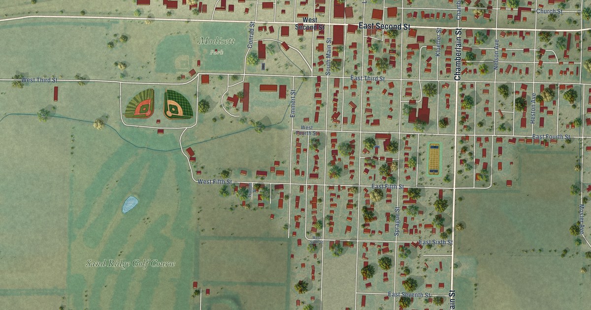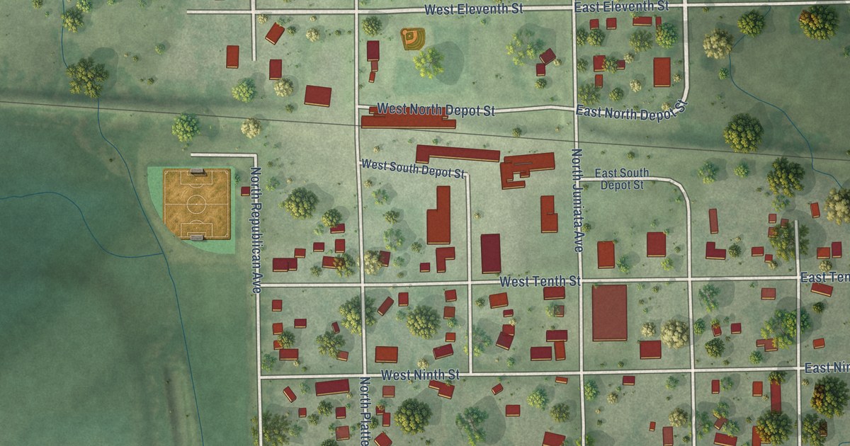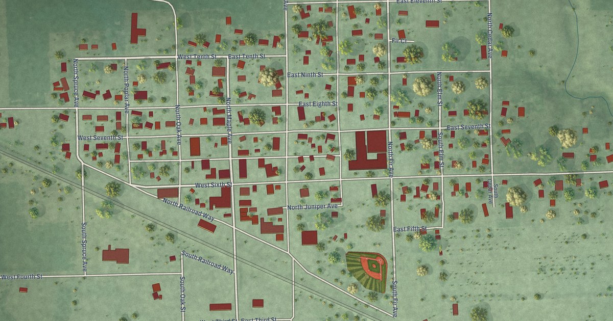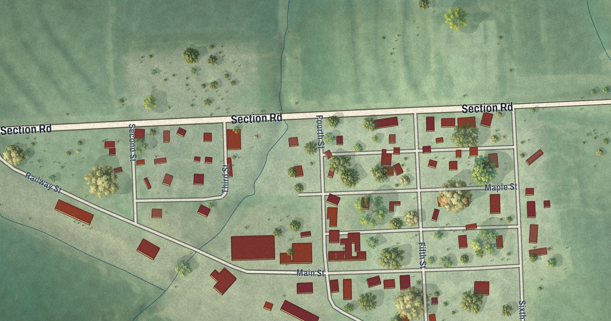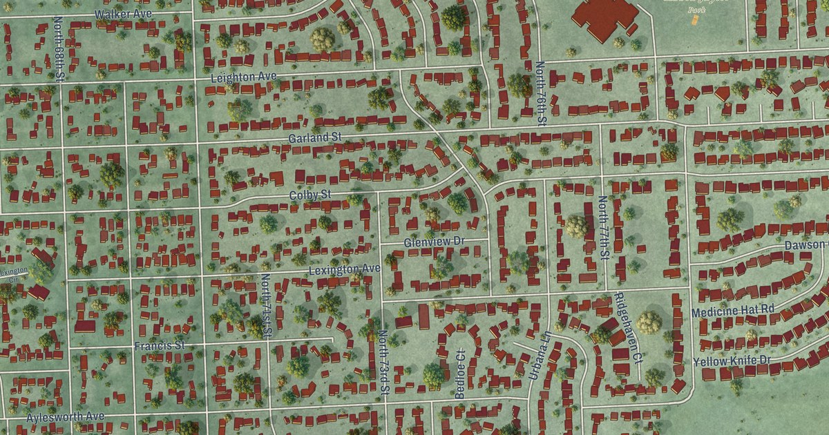
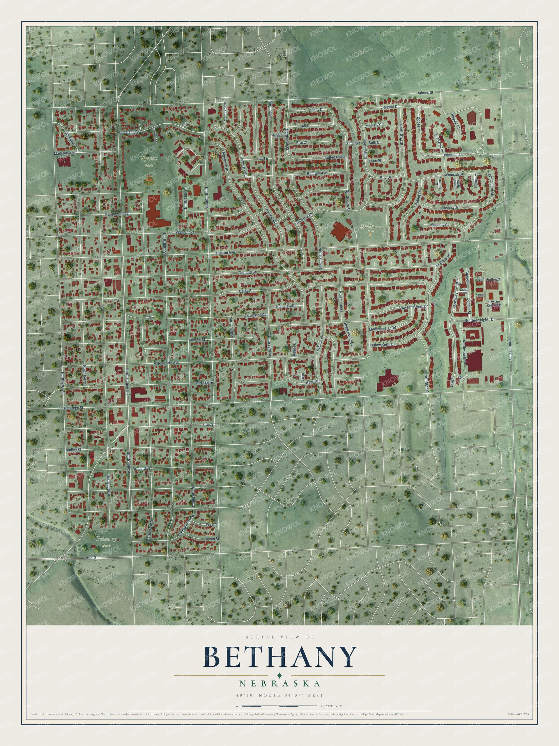
This beautifully detailed map of Bethany, Nebraska was created in 2026 using aerial imagery combined with modern topographical, census, street and landmark data. It’s a one-of-a-kind view of Bethany that combines accurate data with a vintage aesthetic. The map shows every building in its true location, many of the roads carry their names, and the shaded topographic relief shows the shape of the land.
Explore an aerial view of Bethany, Nebraska
On the map you’ll find Bethany Park, Tyrrell Park, and Kahoa-Jaycee Park, along with North Cotner Boulevard, North 81st Street, Sawyer Street, Windmill Drive, North 75th Street, Regent Drive, Leighton Avenue, North 65th Street, North 70th Street, and more. If you look closely you can even find your house accurately drawn in its correct location. Zoom in on the preview to look for yours.
Did You Know?
Bethany grew up around Nebraska Christian University, founded in 1889 and later renamed Cotner College. The town incorporated as Bethany Heights in 1890. Its name came from the Bible village of Bethany in Palestine. Residents leaned on Lincoln for most services, so they voted in 1922 to join the city, which took effect in 1926.
Bethany is a place in Lancaster County.
Take a closer look at the Bethany map
Names on this map
These names are printed on this map.
Places: Bethany Park, Tyrrell Park and Kahoa-Jaycee Park.
Streets and roads: North Cotner Boulevard, North 81st Street, Sawyer Street, Windmill Drive, North 75th Street, Regent Drive, Leighton Avenue, North 65th Street, North 70th Street, Garland Street, Colby Street, Holdrege Street.
More street names, A to Z
Adams Street, Ali Drive, Ammon Avenue, Anna Place, Aylesworth Avenue, Baldwin Avenue, Bedloe Court, Bethany Park Drive, Cleveland Avenue, Cleveland Street, Colby Court, Colby Place, Connor Place, Connor Street, Dawson Creek Bay, Dawson Creek Drive, Delhay Drive, Denby Place, Docs Drive, Dorothy Drive, Dudley Street, Egan Drive, Eric Drive, Erin Court, Fairfax Avenue, Francis Street, Glenview Drive, Hallmark Road, Hays Drive, Huntington Avenue, Ivy Lane, Joshua Drive, Leonard Street, Lexington Avenue, Lexington Circle, Lidco Circle, Lynn Street, Madison Avenue, Medicine Hat Road, Nancy Drive, North 63rd Street, North 64th Street, North 66th Street, North 67th Street, North 68th Street, North 69th Court, North 69th Street, North 71st Street, North 72nd Street, North 73rd Street, North 74th Street, North 76th Street, North 77th Street, North 78th Street, North 79th Street, North 80th Street, North 82nd Court, North 82nd Place, North 82nd Street, North 83rd Street, North 84th Street, Northern Lights Drive, Northwoods Drive, Orchard Street, Oshel Avenue, Regent Place, Ridgehaven Court, Rutledge Avenue, Sawyer Court, Sawyer Place, Seth Avenue, Seth Court, Shaunte Court, Starr Street, Urbana Lane, Ventura Place, Vine Street, Walker Avenue, Wemesha Court, Wemsha Street, West Street, Whitney Court, Willard Avenue, Yancy Drive, Yellow Knife Drive, Zachary Circle.
See it on a wall
The Bethany map as a framed print. Swipe for more.


This beautifully detailed map of Bethany makes an attractive addition to your office, library, or den, and it can even be used to teach children the geography and history of the area. It also makes a great gift for anyone who grew up in Bethany or moved away. When you’re done exploring, click here to get your copy of the Bethany map.