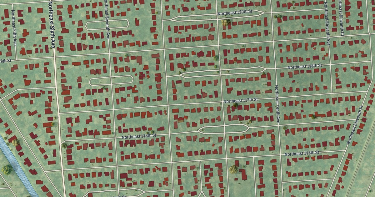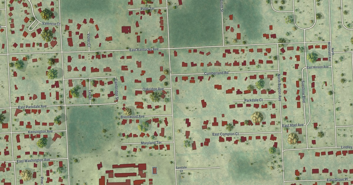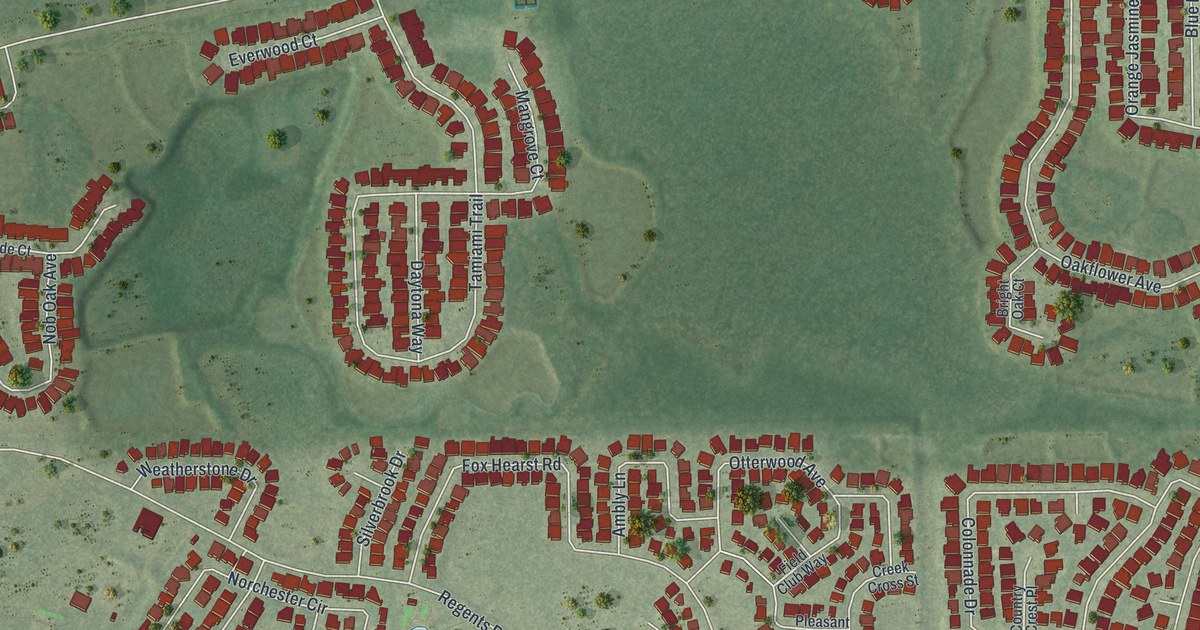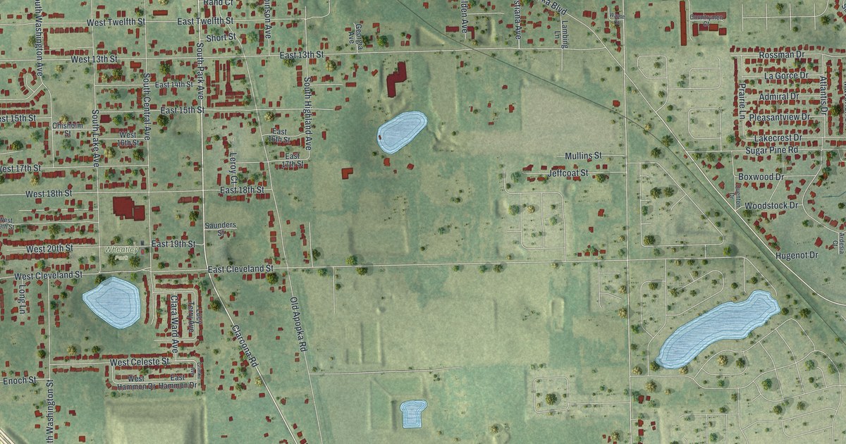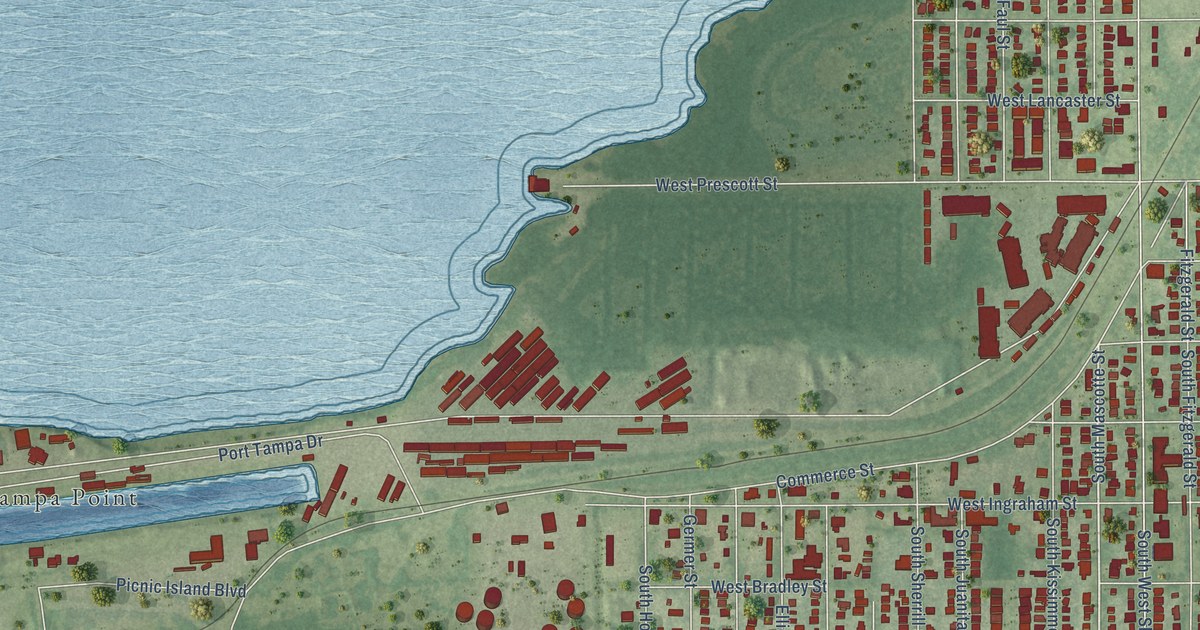
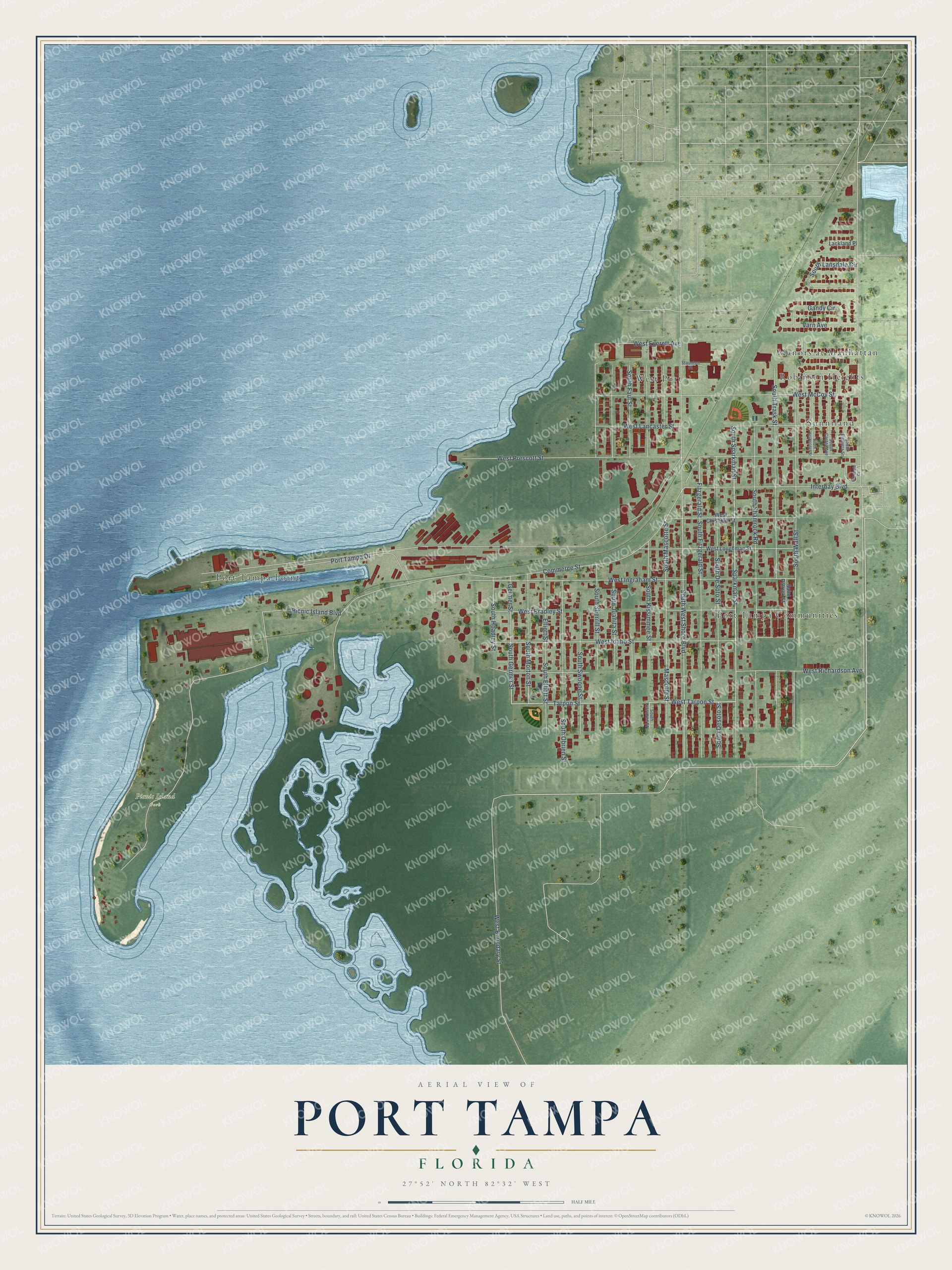
This beautifully detailed map of Port Tampa, Florida was created in 2026 using aerial imagery combined with modern topographical, census, street and landmark data. It’s a one-of-a-kind view of Port Tampa that combines accurate data with a vintage aesthetic. The map shows every building in its true location, many of the roads carry their names, and the shaded topographic relief shows the shape of the land.
Explore an aerial view of Port Tampa, Florida
On the map you’ll find Picnic Island Park, Manors at Manhattan, Port Tampa Communities, Port Tampa Point, West Port, Sunniland, and Robinson Heights, along with Sparkman Street, South Sparkman Street, Mascotte Street, South Mascotte Street, Tarpon Street, and more. If you look closely you can even find your house accurately drawn in its correct location. Zoom in on the preview to look for yours.
Did You Know?
Port Tampa City was founded in 1885 where Henry B. Plant’s railroad ended. Tampa Bay was too shallow for the big ships of the day to reach Tampa’s main port. Plant answered by building a new port miles away. He added two hotels, and the Port Tampa Inn stood on stilts right over the bay.
Port Tampa is a place in Hillsborough County.
Take a closer look at the Port Tampa map
Names on this map
These names are printed on this map.
Places: Picnic Island Park, Manors at Manhattan, Port Tampa Communities, Port Tampa Point, West Port, Sunniland and Robinson Heights.
Streets and roads: Sparkman Street, South Sparkman Street, Mascotte Street, South Mascotte Street, Tarpon Street, South Germer Street, West Tarpon Street, Picnic Island Boulevard, South West Shore Boulevard, West Prescott Street, Commerce Street, South Wall Street.
More street names, A to Z
Elizabeth Court, Elliott Street, Fitzgerald Street, Gandy Circle, Germer Street, Interbay Boulevard, Lackland Place, Port Tampa Drive, Saint Patrick Street, South Cortez Avenue, South De Soto Street, South Desoto Street, South Elemeta Street, South Elliott Street, South Faul Street, South Fitzgerald Street, South Hesperides Street, South Hoadley Street, South Juanita Street, South Kissimee Street, South Kissimmee Street, South Lansdale Circle, South Morton Street, South Obrien Street, South Shamrock Road, South Sherrill Street, South Swoope Street, South Trask Street, Staunton Street, Varn Avenue, West Boundary Street, West Bradley Street, West Chisholm Street, West Everett Avenue, West Idaho Street, West Ingraham Street, West Lancaster Street, West Loughman Street, West McCoy Street, West Richardson Avenue.
See it on a wall
The Port Tampa map as a framed print. Swipe for more.


This beautifully detailed map of Port Tampa makes an attractive addition to your office, library, or den, and it can even be used to teach children the geography and history of the area. It also makes a great gift for someone who left Port Tampa and still calls it home. When you’re done exploring, click here to get your copy of the Port Tampa map.