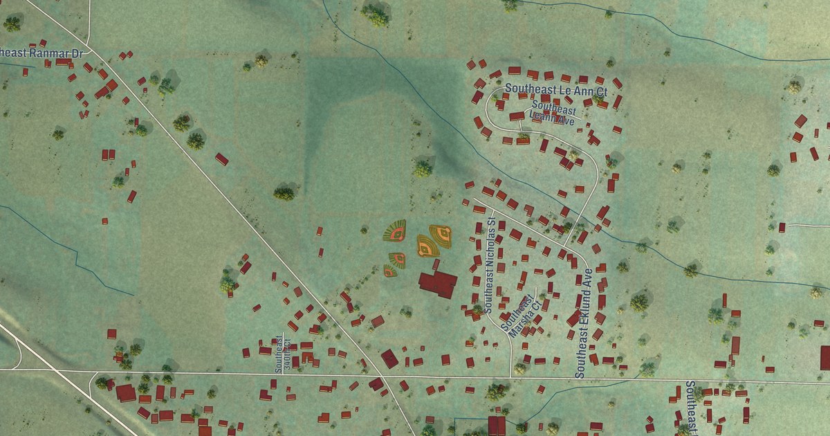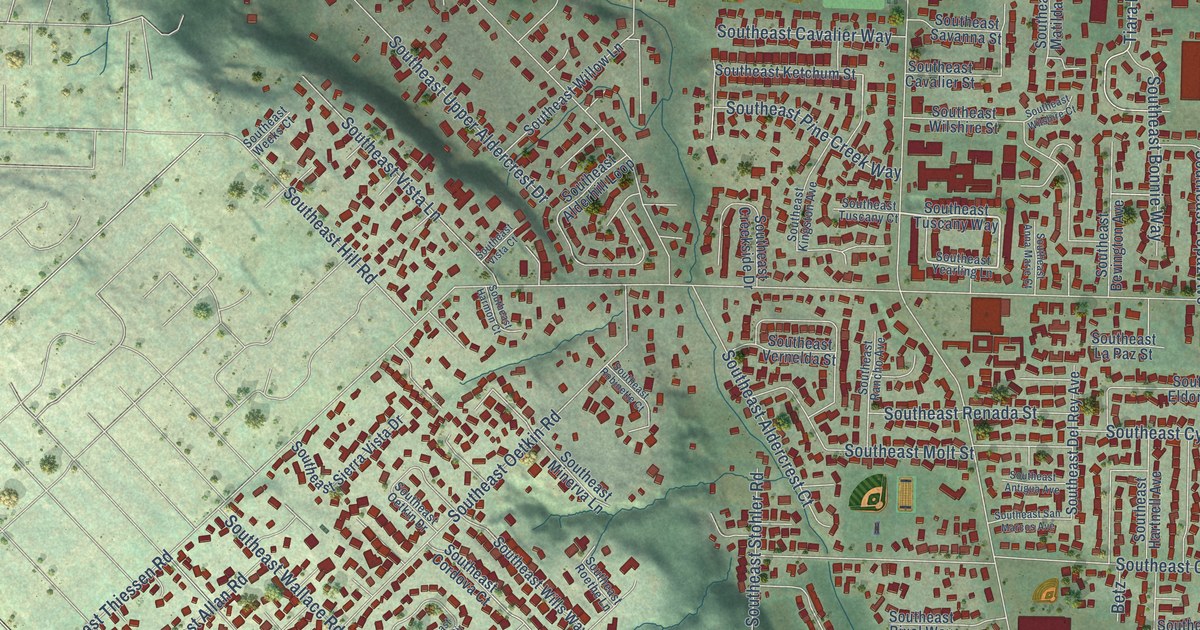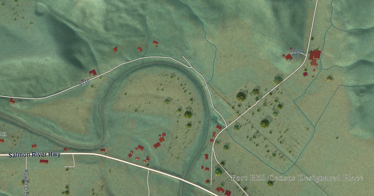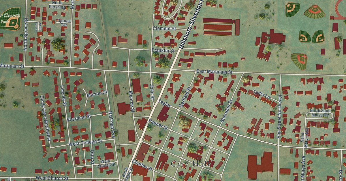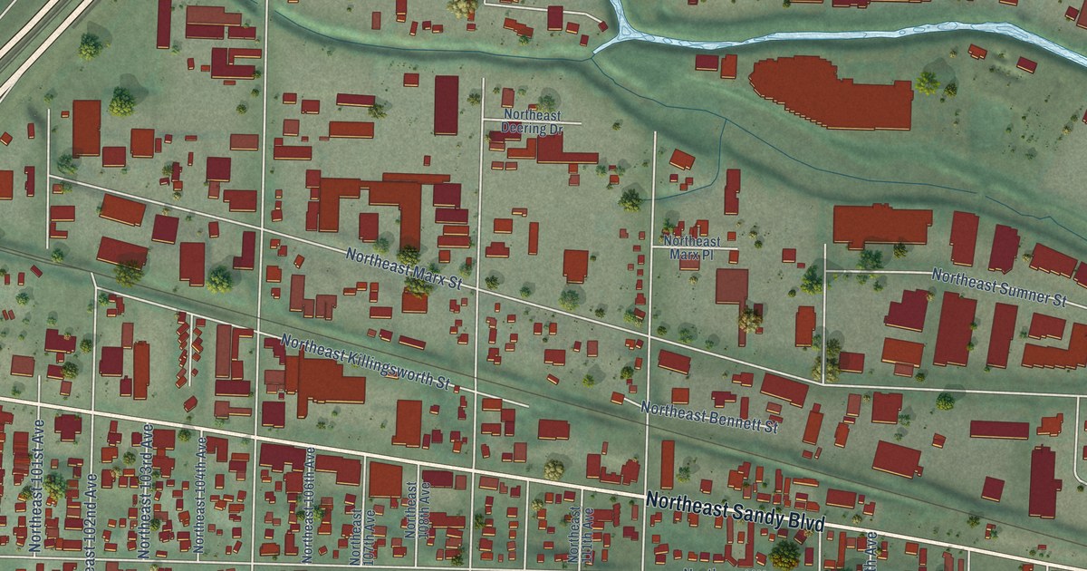
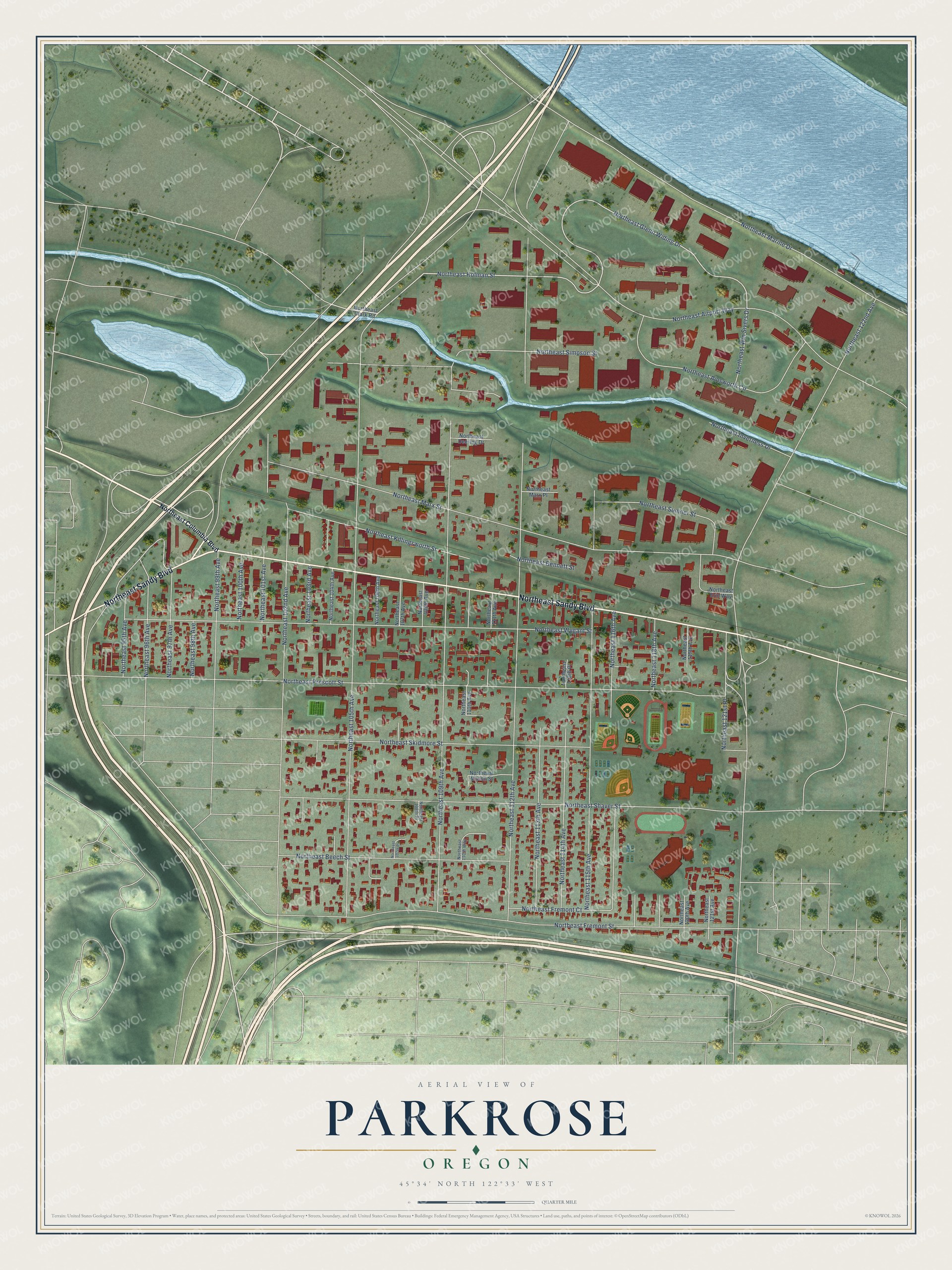
This beautifully detailed map of Parkrose, Oregon was created in 2026 using aerial imagery combined with modern topographical, census, street and landmark data. It’s a one-of-a-kind view of Parkrose that combines accurate data with a vintage aesthetic. The map shows every building in its true location, many of the roads carry their names, and the shaded topographic relief shows the shape of the land.
Explore an aerial view of Parkrose, Oregon
On the map you’ll find Northeast Sandy Boulevard, Northeast Holman Street, Northeast Glenn Widing Drive, Northeast 112th Avenue, Northeast 105th Avenue, Northeast Airport Way, Northeast 109th Avenue, Northeast 102nd Avenue, Northeast Marx Street, Northeast Fremont Street, Northeast Wygant Street, Northeast Shaver Street, and more. If you look closely you can even find your house accurately drawn in its correct location. Zoom in on the preview to look for yours.
Did You Know?
The Parkrose plat was filed in 1911. For its first years it was a small Portland suburb of farms and houses. In the 1920s it grew into a commuter town. In 1925 the Oregon Journal praised it as a promising place for commuters at the city’s eastern edge. Portland later annexed the community.
Take a closer look at the Parkrose map
Names on this map
These names are printed on this map.
Streets and roads: Northeast Sandy Boulevard, Northeast Holman Street, Northeast Glenn Widing Drive, Northeast 112th Avenue, Northeast 105th Avenue, Northeast Airport Way, Northeast 109th Avenue, Northeast 102nd Avenue, Northeast Marx Street, Northeast Fremont Street, Northeast Wygant Street, Northeast Shaver Street.
More street names, A to Z
Northeast 95th Avenue, Northeast 96th Avenue, Northeast 97th Avenue, Northeast 98th Avenue, Northeast 99th Avenue, Northeast 100th Avenue, Northeast 101st Avenue, Northeast 103rd Avenue, Northeast 104th Avenue, Northeast 106th Avenue, Northeast 107th Avenue, Northeast 107th Place, Northeast 108th Avenue, Northeast 108th Place, Northeast 110th Avenue, Northeast 110th Way, Northeast 111th Avenue, Northeast 113th Avenue, Northeast 113th Place, Northeast 114th Avenue, Northeast 115th Avenue, Northeast 116th Avenue, Northeast 118th Avenue, Northeast 119th Avenue, Northeast 120th Avenue, Northeast 121st Avenue, Northeast 121st Place, Northeast 122nd Avenue, Northeast Ainsworth Circle, Northeast Beech Street, Northeast Bennett Street, Northeast Clark Road, Northeast Columbia Boulevard, Northeast Deering Drive, Northeast Erin Way, Northeast Fremont Court, Northeast Inverness Drive, Northeast Killingsworth Street, Northeast Marine Drive, Northeast Marx Place, Northeast Mason Street, Northeast Prescott Street, Northeast Simpson Street, Northeast Skidmore Street, Northeast Sumner Street, Northeast Win Sivers Drive.
See it on a wall
The Parkrose map as a framed print. Swipe for more.


This beautifully detailed map of Parkrose makes an attractive addition to your office, library, or den, and it can even be used to teach children the geography and history of the area. It also makes a great gift for anyone with Parkrose roots. When you’re done exploring, click here to get your copy of the Parkrose map.