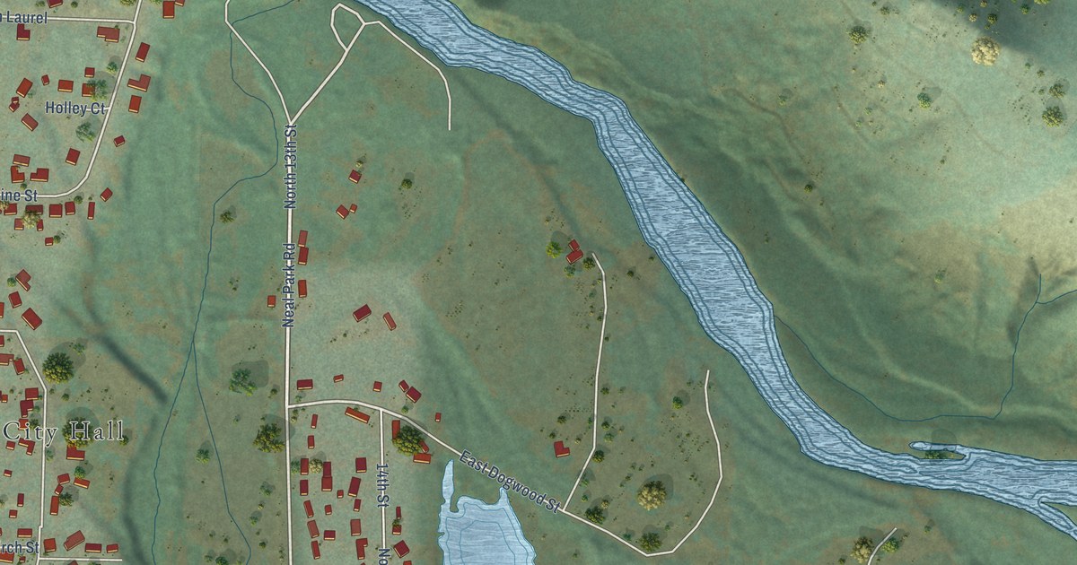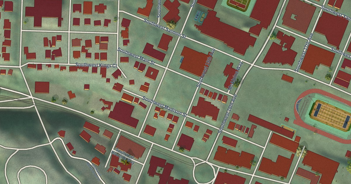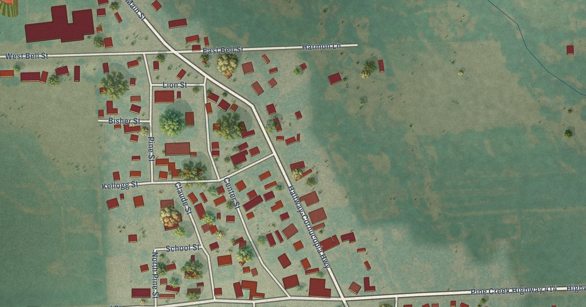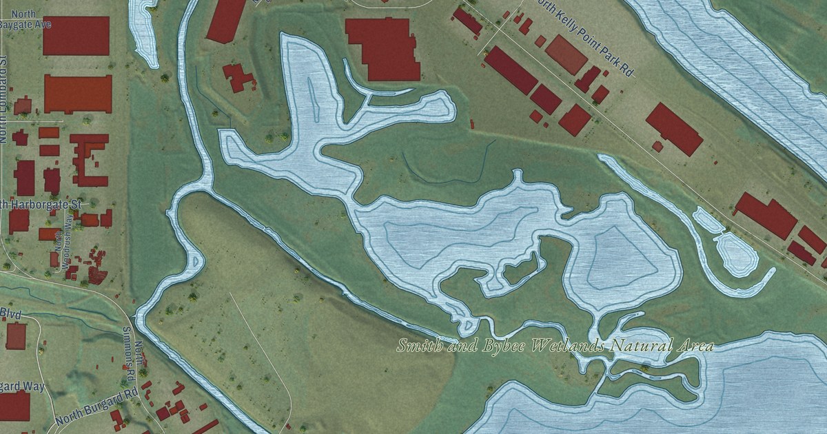
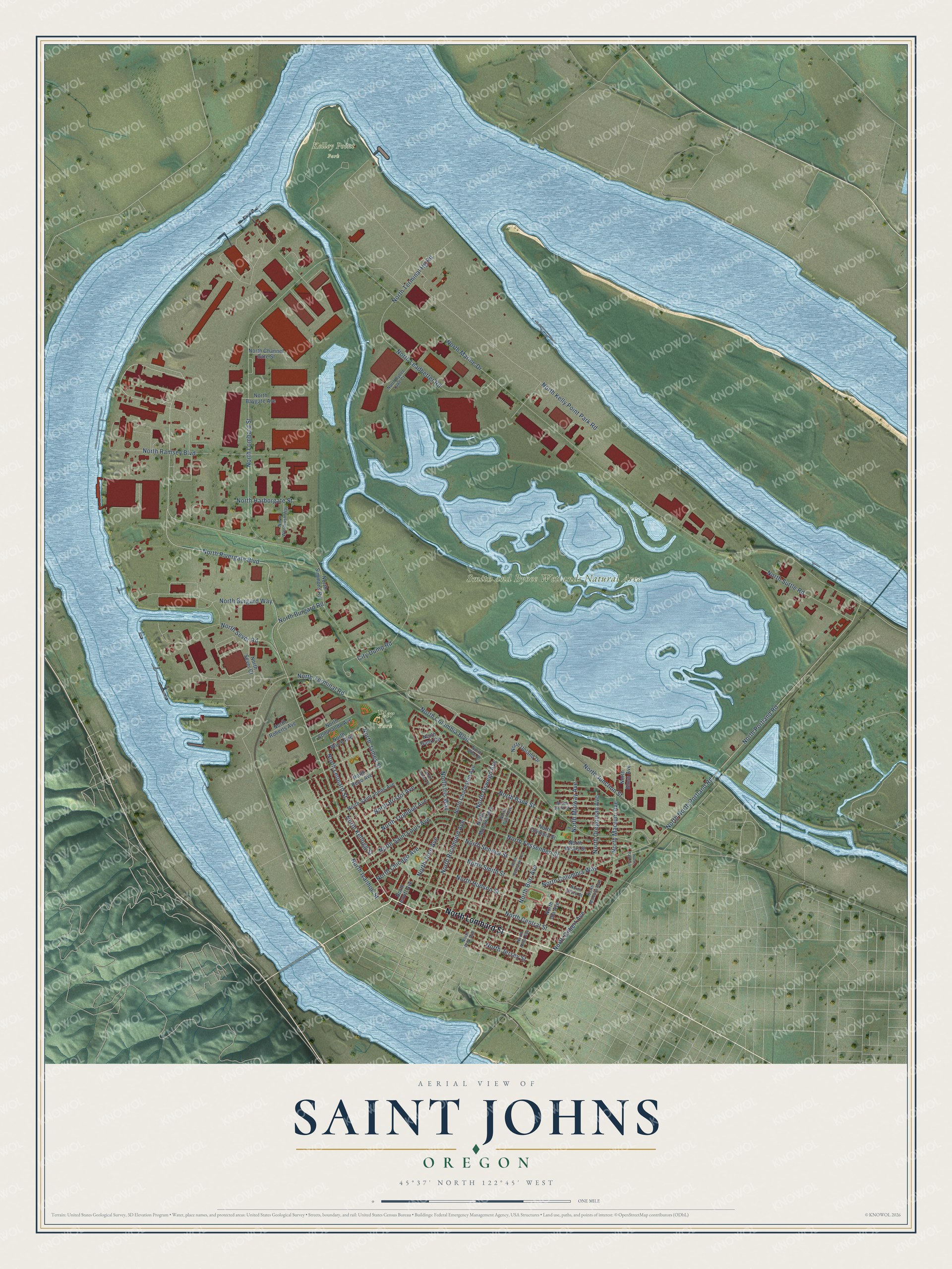
This beautifully detailed map of Saint Johns, Oregon was created in 2026 using aerial imagery combined with modern topographical, census, street and landmark data. It’s a one-of-a-kind view of Saint Johns that combines accurate data with a vintage aesthetic. The map shows every building in its true location, many of the roads carry their names, and the shaded topographic relief shows the shape of the land.
Explore an aerial view of Saint Johns, Oregon
On the map you’ll find Kelley Point Park, Pier Park, and Smith and Bybee Wetlands Natural Area, along with North Lombard Street, North Rivergate Boulevard, North Richmond Avenue, North Terminal Road, North Portland Road, North Marine Drive, North Columbia Boulevard, North Central Street, North Smith Street, and more. If you look closely you can even find your house accurately drawn in its correct location. Zoom in on the preview to look for yours.
Did You Know?
The Oregonian reported that the nation’s first electric sawmill was built in St. Johns in 1903. M. B. Rankin of the Electric Sawmill company put it up. The saw itself worked well. The backers could not keep a steady flow of lumber, though, and the mill went quiet.
Take a closer look at the Saint Johns map
Names on this map
These names are printed on this map.
Places: Kelley Point Park, Pier Park and Smith and Bybee Wetlands Natural Area.
Streets and roads: North Lombard Street, North Rivergate Boulevard, North Richmond Avenue, North Terminal Road, North Portland Road, North Marine Drive, North Columbia Boulevard, North Central Street, North Smith Street, North North Portland Road, North Leonard Street, North Seneca Street.
More street names, A to Z
City Dump Road, North Alma Avenue, North Bank Circle, North Bank Street, North Baygate Avenue, North Bliss Street, North Bloss Avenue, North Bristol Avenue, North Bruce Avenue, North Buchanan Avenue, North Burgard Road, North Burgard Way, North Burr Avenue, North Bybee Lake Court, North Channel Gate Street, North Charleston Avenue, North Chicago Avenue, North Columbia Way, North Commando Avenue, North Fessenden Street, North Gilbert Avenue, North Harborgate Street, North Hudson Street, North Ida Avenue, North Iris Way, North Ivanhoe Street, North James Street, North Jersey Street, North John Avenue, North Junction Street, North Kalmar Street, North Kellogg Street, North Kelly Point Park Road, North Leadbetter Road, North Leavitt Avenue, North Macrum Avenue, North Mears Street, North Midway Avenue, North Minerva Avenue, North Mohawk Avenue, North Olympia Street, North Oregonian Avenue, North Oswego Avenue, North Polk Avenue, North Ramsey Boulevard, North Reno Avenue, North Roberts Avenue, North Saint Johns Avenue, North Saint Louis Avenue, North Sedro Street, North Sever Court, North Sever Road, North Simmons Road, North Suttle Road, North Swift Street, North Taft Avenue, North Terminal Hg Road, North Trumbull Avenue, North Tyler Avenue, North Upland Drive, North Woodrush Way.
See it on a wall
The Saint Johns map as a framed print. Swipe for more.


This beautifully detailed map of Saint Johns makes an attractive addition to your office, library, or den, and it can even be used to teach children the geography and history of the area. It also makes a great gift for anyone with Saint Johns roots. When you’re done exploring, click here to get your copy of the Saint Johns map.