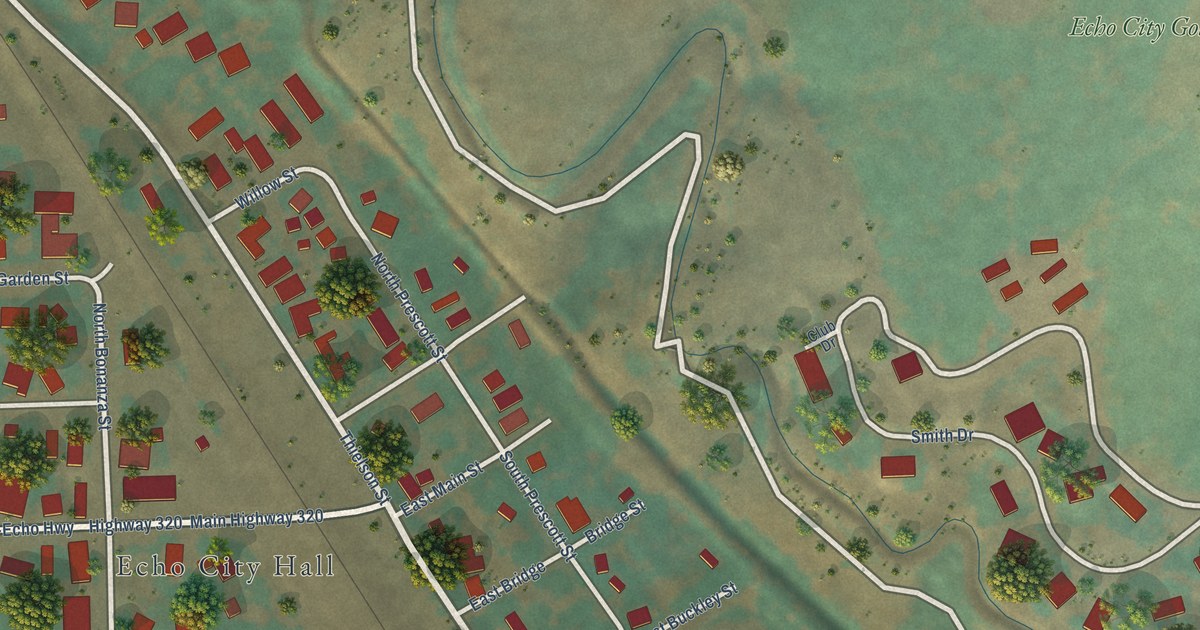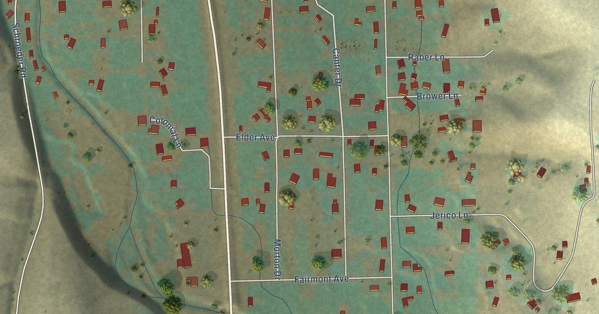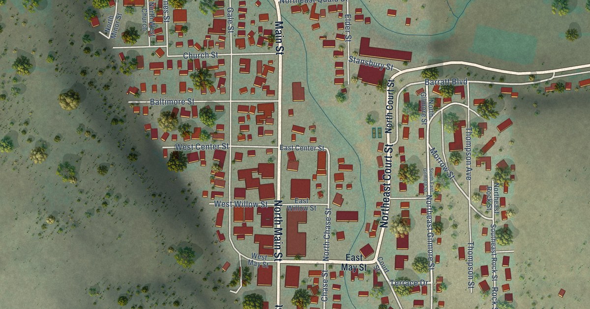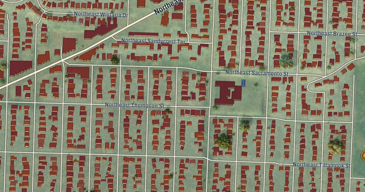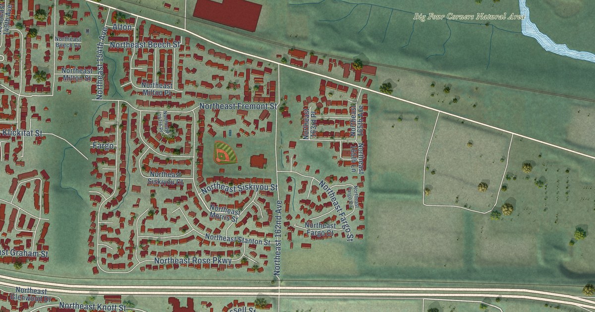
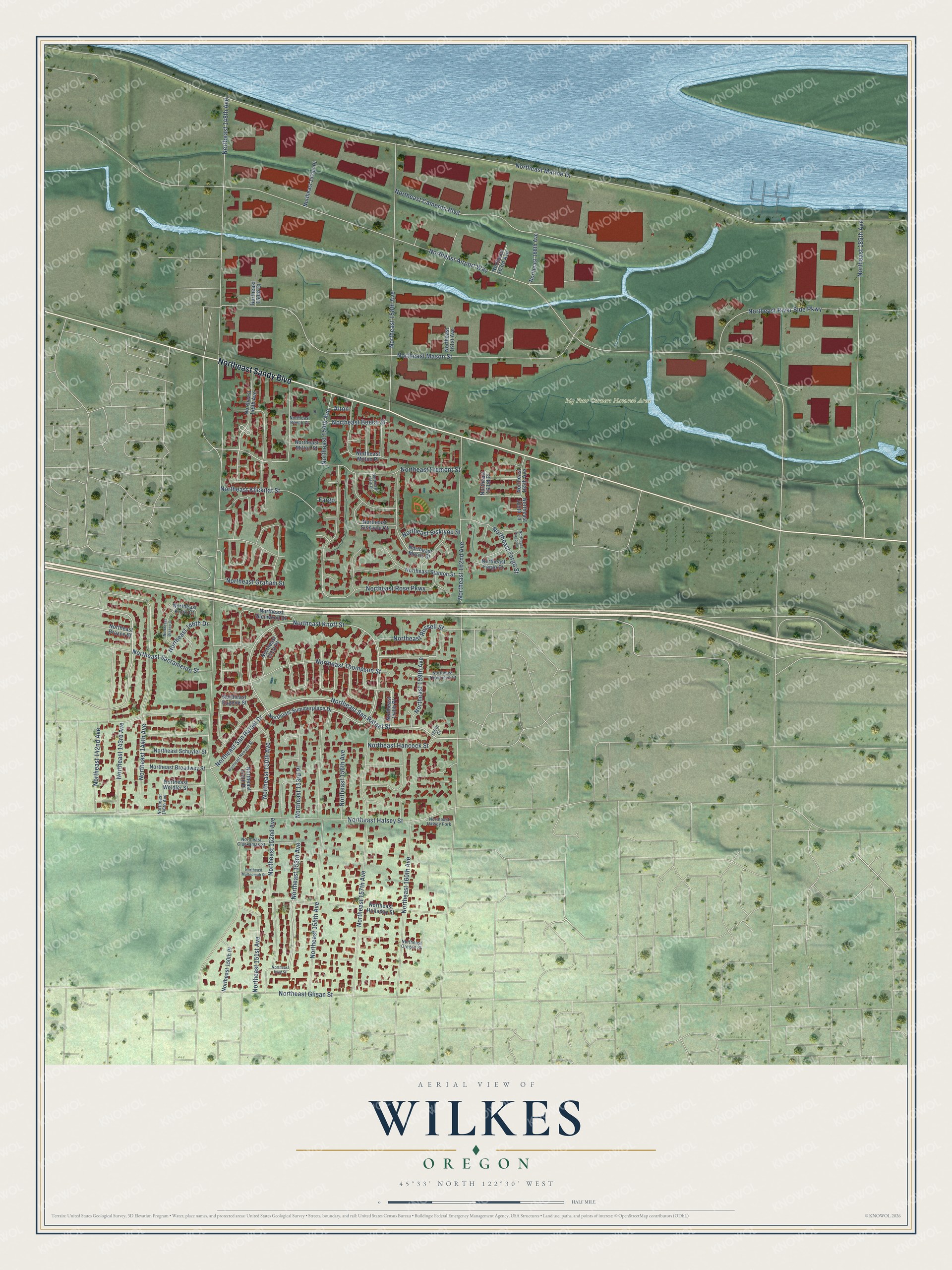
This beautifully detailed map of Wilkes, Oregon was created in 2026 using aerial imagery combined with modern topographical, census, street and landmark data. It’s a one-of-a-kind view of Wilkes that combines accurate data with a vintage aesthetic. The map shows every building in its true location, many of the roads carry their names, and the shaded topographic relief shows the shape of the land.
Explore an aerial view of Wilkes, Oregon
On the map you’ll find Big Four Corners Natural Area, along with Northeast Sandy Boulevard, Northeast San Rafael Street, Northeast Sacramento Street, Northeast 153rd Avenue, Northeast San Rafael Drive, Northeast 158th Avenue, Northeast 152nd Avenue, Northeast 150th Avenue, Northeast Knott Street, Northeast 143rd Avenue, Northeast Russell Street, and more. If you look closely you can even find your house accurately drawn in its correct location. Zoom in on the preview to look for yours.
Did You Know?
In 1850, William Wilkes claimed land along Sandy Road where this neighborhood stands today. He was a son of the pioneers Payton and Anna Wilkes. Soon after, he left to seek gold in California. When he returned, he bought more land to the east, now called Wilkes East in Gresham.
Wilkes is a place in Multnomah County.
Take a closer look at the Wilkes map
Names on this map
These names are printed on this map.
Places: Big Four Corners Natural Area.
Streets and roads: Northeast Sandy Boulevard, Northeast San Rafael Street, Northeast Sacramento Street, Northeast 153rd Avenue, Northeast San Rafael Drive, Northeast 158th Avenue, Northeast 152nd Avenue, Northeast 150th Avenue, Northeast Knott Street, Northeast 143rd Avenue, Northeast Russell Street, Northeast 156th Avenue.
More street names, A to Z
160th Court, Alton, Fargo, Northeast 142nd Avenue, Northeast 144th Avenue, Northeast 146th Avenue, Northeast 146th Drive, Northeast 148th Avenue, Northeast 148th Place, Northeast 149th Avenue, Northeast 150th Court, Northeast 150th Place, Northeast 151st Avenue, Northeast 151st Place, Northeast 152nd Place, Northeast 153rd Place, Northeast 154th Avenue, Northeast 155th Avenue, Northeast 157th Avenue, Northeast 157th Place, Northeast 158th Place, Northeast 159th Avenue, Northeast 160th Avenue, Northeast 161st Avenue, Northeast 162nd Avenue, Northeast 163rd Avenue, Northeast 163rd Place, Northeast 165th Avenue, Northeast 165th Lane, Northeast 166th Avenue, Northeast 185th Avenue, Northeast Airport Way, Northeast Beech Court, Northeast Beech Street, Northeast Brazee Court, Northeast Brazee Street, Northeast Broadway Street, Northeast Cameron Boulevard, Northeast Clackamas Street, Northeast Eugene Street, Northeast Fargo Circle, Northeast Fargo Court, Northeast Fargo Street, Northeast Fremont Street, Northeast Glenwood Drive, Northeast Glisan Street, Northeast Graham Street, Northeast Halsey Fork, Northeast Halsey Street, Northeast Hancock Street, Northeast Holladay Street, Northeast Hoyt Street, Northeast Klickitat Street, Northeast Knott Court, Northeast Marine Drive, Northeast Mason Street, Northeast Milton Place, Northeast Milton Street, Northeast Morris Street, Northeast Multnomah Street, Northeast Newport Street, Northeast Oregon Street, Northeast River Side Parkway, Northeast Rose Parkway, Northeast Schuyler Street, Northeast Siskiyou Court, Northeast Siskiyou Street, Northeast Stanton Street, Northeast Summerplace Drive, Northeast Thompson Court, Northeast Thompson Street, Northeast Weidler Street.
See it on a wall
The Wilkes map as a framed print. Swipe for more.


This beautifully detailed map of Wilkes makes an attractive addition to your office, library, or den, and it can even be used to teach children the geography and history of the area. It also makes a great gift for anyone who grew up in Wilkes or moved away. When you’re done exploring, click here to get your copy of the Wilkes map.