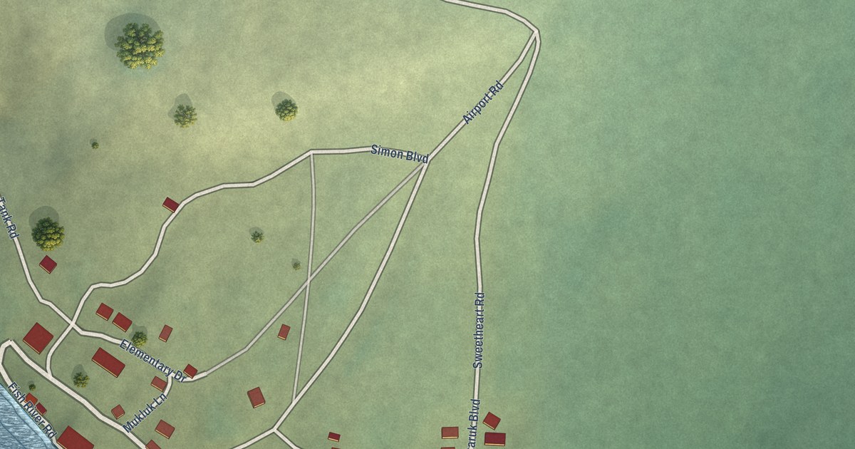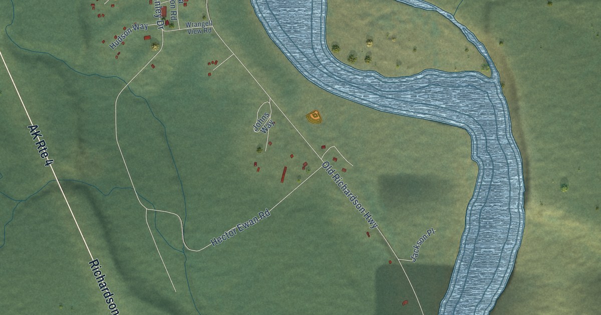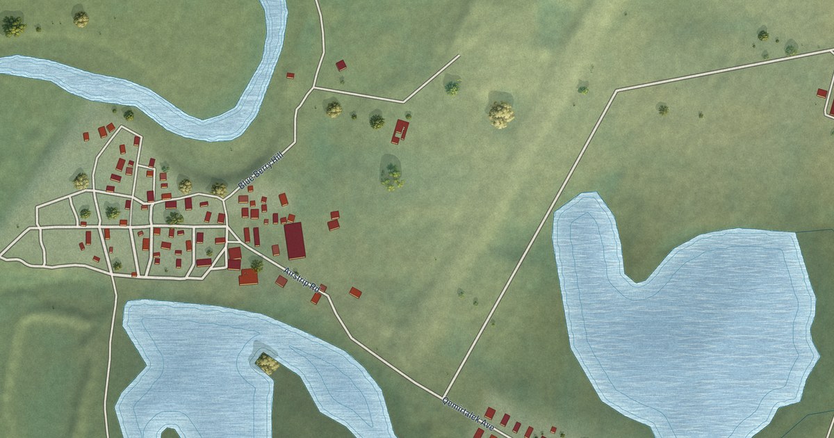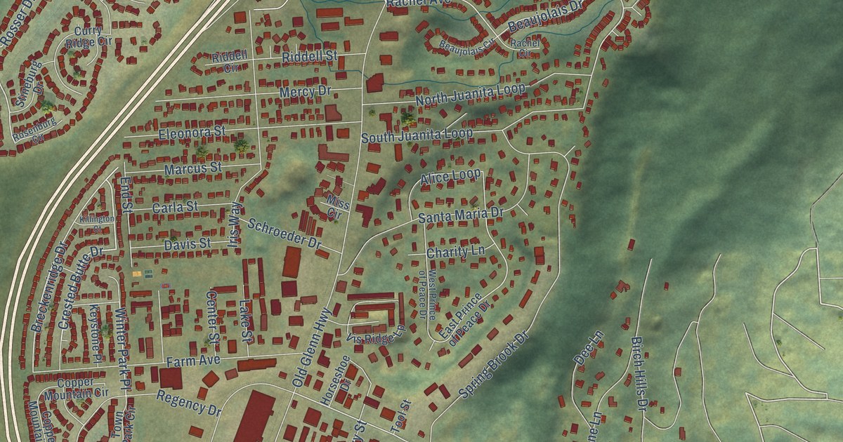
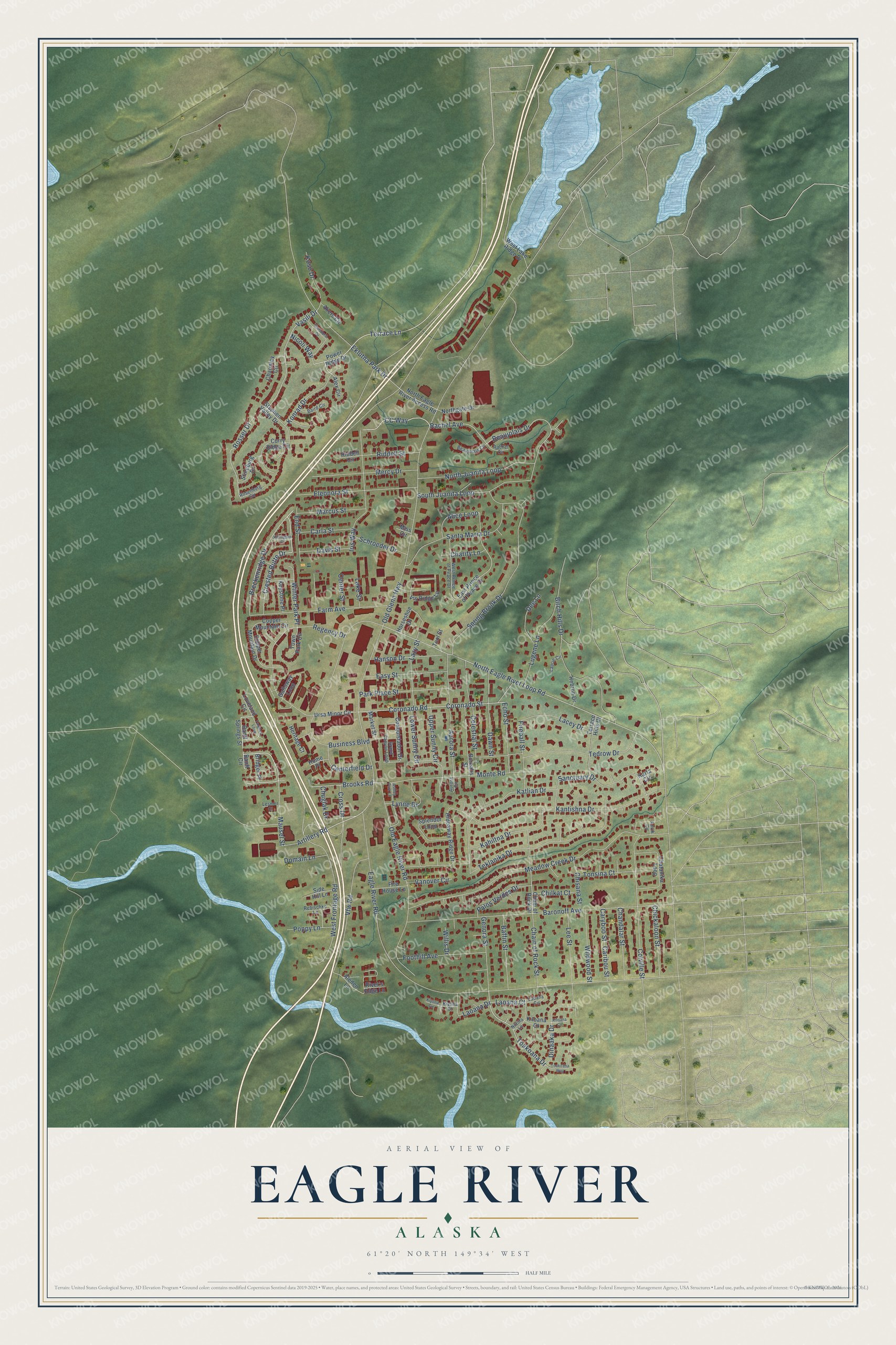
This beautifully detailed map of Eagle River, Alaska was created in 2026 using aerial imagery combined with modern topographical, census, street and landmark data. It’s a one-of-a-kind view of Eagle River that combines accurate data with a vintage aesthetic. The map shows every building in its true location, many of the roads carry their names, and the shaded topographic relief shows the shape of the land.
Explore an aerial view of Eagle River, Alaska
On the map you’ll find Winter Park Place, along with Mausel Street, Terrace Lane, Crested Butte Drive, Toakoana Drive, Old Glenn Highway, Meadow Creek Drive, Artillery Road, Brooks Road, Vasili Drive, Rosser Drive, North Eagle River Loop Road, and more. If you look closely you can even find your house accurately drawn in its correct location. Zoom in on the preview to look for yours.
Did You Know?
Homesteaders settled Eagle River, and the area prospered on farming. The U.S. Geological Survey first recorded the name in 1939, and the post office opened in 1961. Many locals opposed joining Anchorage. Even so, Eagle River became part of the Municipality of Anchorage in 1975, when the city and the borough were unified. That’s from the Alaska DCRA.
Eagle River is a place in Municipality of Anchorage.
Take a closer look at the Eagle River map
Names on this map
These names are printed on this map.
Streets and roads: Mausel Street, Terrace Lane, Crested Butte Drive, Toakoana Drive, Old Glenn Highway, Meadow Creek Drive, Artillery Road, Brooks Road, Vasili Drive, Rosser Drive, Winter Park Place, North Eagle River Loop Road.
More street names, A to Z
Akers Circle, Aleden Lane, Alex Circle, Alice Loop, Anvik Circle, Ashley Park Lane, Aurora Circle, Aurora Street, Baffin Street, Baird Circle, Banff Circle, Banff Springs Street, Baronoff Avenue, Beaujolais Circle, Beaujolais Drive, Birch Hills Drive, Borealis Street, Breckenridge Drive, Bridger Place, Business Boulevard, Caribou Street, Carla Street, Caryboo Street, CC Way, Celestial Street, Centerfield Drive, Center Street, Chain of Rock Drive, Chain of Rock Street, Chandalar Street, Charity Lane, Charmley Circle, Chatanika Loop, Chickaloon Street, Chilkat Court, Chisana Street, Chugiak Drive, Colville Street, Conquistador Drive, Copper Mountain Circle, Copper Mountain Drive, Coronado Road, Coronado Street, Cross Drive, Curry Ridge Circle, Davis Street, Dawn Street, Dee Lane, Dinaaka Drive, Domain Lane, Eagle River Road, East Prince of Peace Drive, Easy Street, Echo Street, Eklutna Park Drive, Eleonora Street, End Street, Farm Avenue, Fireball Street, Fire House Lane, Foothill Avenue, Galloway Loop, Genora Street, Grand Canyon Loop, Hanson Drive, Hebron Drive, Heritage Court, Hideaway Ridge Drive, Home Place, Horseshoe Drive, Iris Way, Kahiltna Drive, Kantishna Drive, Karta Circle, Katlian Drive, Keystone Place, Killington Court, Kiloana Circle, Kiloana Court, Kiyona Circle, Kiyona Court, Konrad Drive, Koso Drive, Lacey Drive, Lake Street, Laoana Circle, Laoana Court, Laoana Drive, Laurie Circle, Lazy Street, Lee Street, Lesmer Court, Loveland Circle, Lower Sunny Circle, Lugene Lane, Lynne Drive, Marcus Street, Market Street, Mercy Drive, Miss Circle, Monte Road, Nicoli Way, Niltina Lane, North Eagle River Access Road, Northgate Drive, North Juanita Loop, Old Eagle River Road, Palos Verdes Drive, Park Place Street, Poppy Lane, Power Ridge Drive, Rachel Avenue, Rachel Circle, Rebischke Lane, Regency Drive, Riddell Circle, Riddell Street, River's Edge Lane, Rosenburg Circle, Sanctuary Drive, Santa Maria Drive, Schroeder Drive, Side Hill Lane, South Juanita Loop, Splendor Loop, Spring Brook Drive, Stephen Valley Drive, Stineburg Drive, Targhee Loop, Tedrow Drive, Teklanika Drive, Terrace Hills Drive, Theodore Drive, Toakoana Way, Tonsina Court, Tool Street, Town Park Circle, Upper Sunny Circle, Ursa Minor Circle, Vanover Circle, Vfw Road, Vis Ridge Lp, West Frontage Road, West Lake Ridge Drive, West Prince of Peace Drive, Wildwood Street, Willis Drive.
See it on a wall
The Eagle River map as a framed print. Swipe for more.


This beautifully detailed map of Eagle River makes an attractive addition to your office, library, or den, and it can even be used to teach children the geography and history of the area. It also makes a great gift for someone who left Eagle River and still calls it home. When you’re done exploring, click here to get your copy of the Eagle River map.