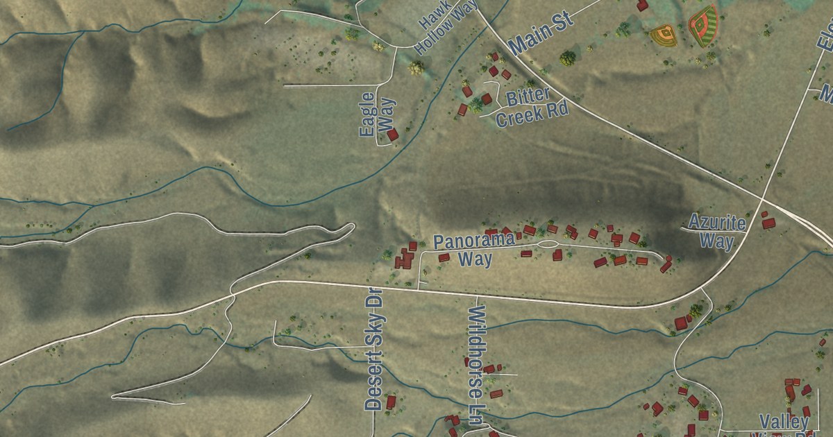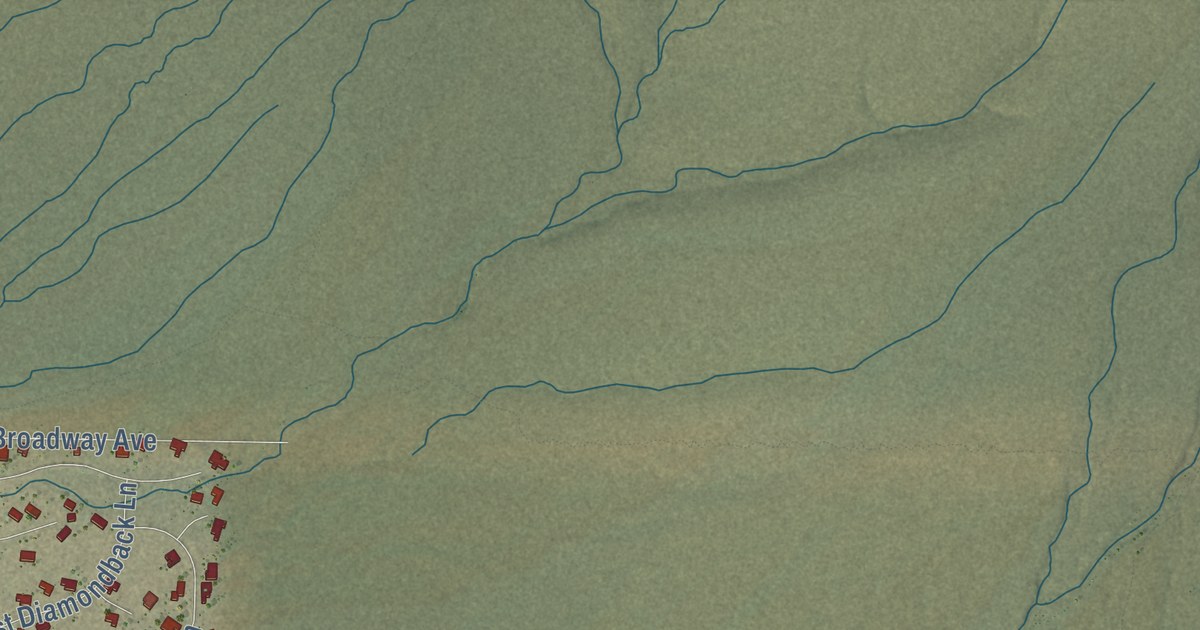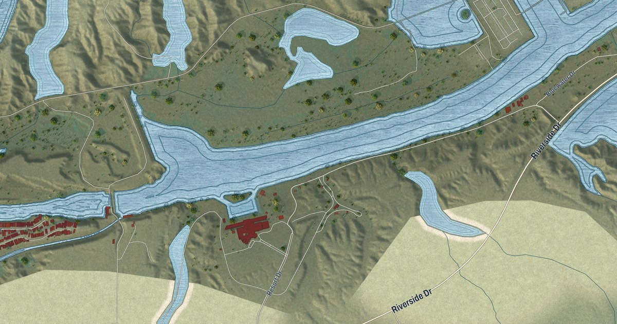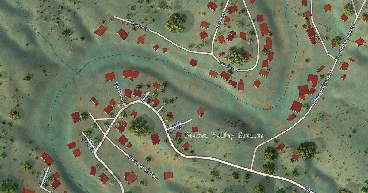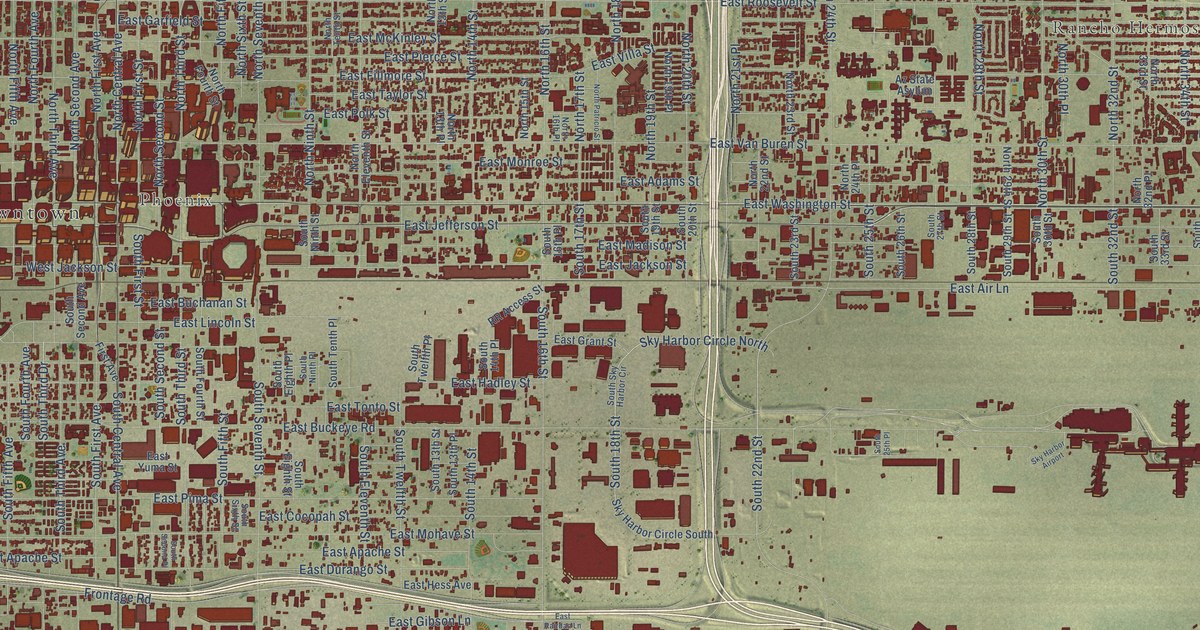
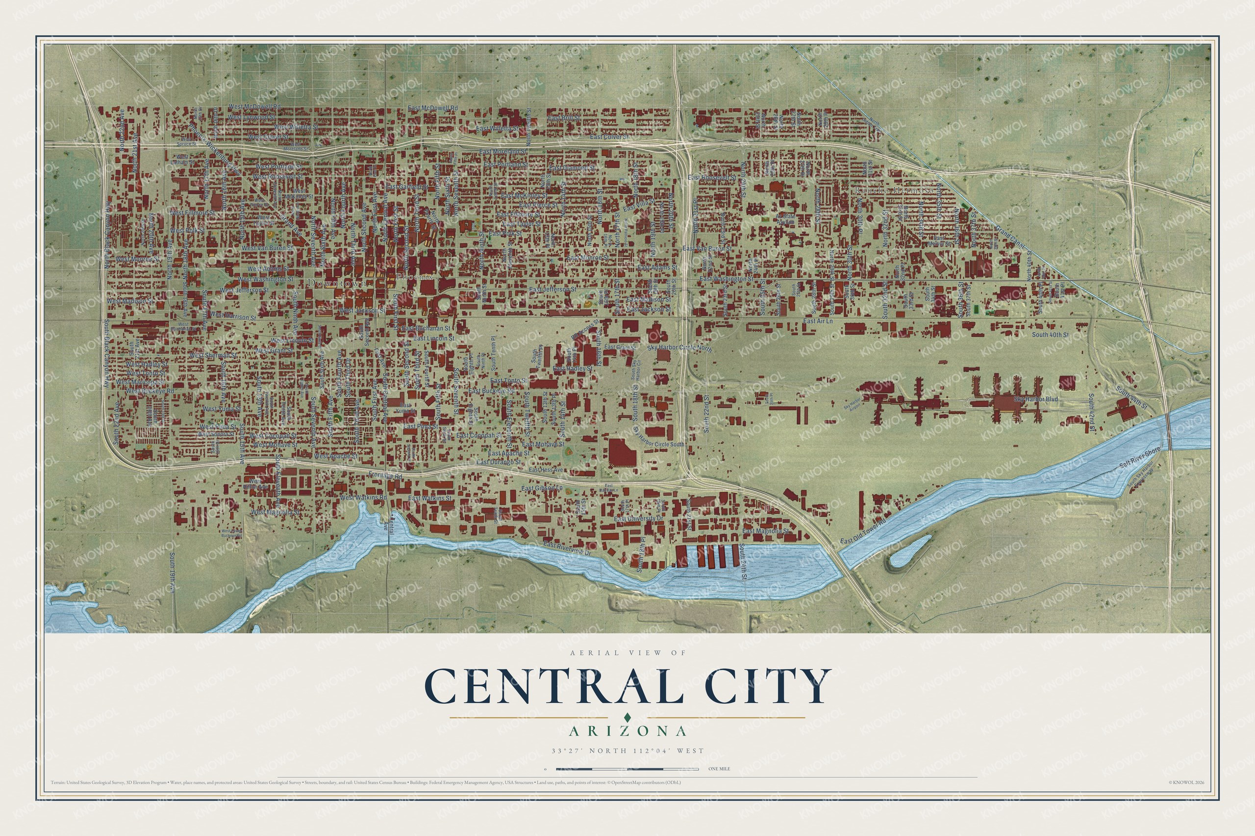
This beautifully detailed map of Central City, Arizona was created in 2026 using aerial imagery combined with modern topographical, census, street and landmark data. It’s a one-of-a-kind view of Central City that combines accurate data with a vintage aesthetic. The map shows every building in its true location, many of the roads carry their names, and the shaded topographic relief shows the shape of the land.
Explore an aerial view of Central City, Arizona
On the map you’ll find Downtown, Rancho Hermoso, and Phoenix, along with East Washington Street, South 40th Street, East Old Tower Road, East Jefferson Street, West Washington Street, West Jefferson Street, South First Avenue, Frontage Road, South Central Avenue, and more. If you look closely you can even find your house accurately drawn in its correct location. Zoom in on the preview to look for yours.
Take a closer look at the Central City map
Names on this map
These names are printed on this map.
Places: Downtown, Rancho Hermoso, Phoenix and Sky Harbor Airport.
Streets and roads: East Washington Street, South 40th Street, East Old Tower Road, East Jefferson Street, West Washington Street, West Jefferson Street, South First Avenue, Frontage Road, South Central Avenue, North First Avenue, West Jackson Street, South 19th Avenue.
More street names, A to Z
Az State Asylum, Central Avenue, East Adams Street, East Air Lane, East Apache Street, East Brill Street, East Buchanan Street, East Buckeye Road, East Cocopah Street, East Culver Street, East Diamond Street, East Durango Street, East Fillmore Street, East Garfield Street, East Gibson Lane, East Grant Street, East Hadley Street, East Hess Avenue, East Jackson Street, East Lincoln Street, East Madison Street, East Magnolia Street, East McDowell Road, East McKinley Street, East Melvin Street, East Mohave Street, East Monroe Street, East Moreland Street, East Pierce Street, East Pima Street, East Polk Street, East Portland Street, East Rairdan Lane, East Riverview Drive, East Roosevelt Street, East Taylor Street, East Tonto Street, East University Drive, East Van Buren Street, East Villa Street, East Watkins Street, East Willetta Street, East Yuma Street, First Avenue, Grand Avenue, Grand Canal, North 13th Place, North 13th Street, North 14th Street, North 15th Avenue, North 15th Street, North 16th Avenue, North 16th Drive, North 16th Place, North 16th Street, North 17th Avenue, North 17th Drive, North 17th Street, North 18th Avenue, North 18th Street, North 19th Avenue, North 19th Place, North 19th Street, North 20th Avenue, North 20th Drive, North 20th Street, North 21st Avenue, North 21st Place, North 22nd Avenue, North 22nd Street, North 23rd Street, North 24th Place, North 24th Street, North 25th Place, North 25th Street, North 26th Street, North 27th Place, North 27th Street, North 28th Place, North 28th Street, North 29th Street, North 30th Place, North 30th Street, North 31st Street, North 32nd Place, North 32nd Street, North 33rd Street, North 34th Street, North 35th Street, North 36th Street, North 37th Street, North 38th Street, North 40th Place, North 40th Street, North Black Canyon Highway, North Central Avenue, North Eleventh Avenue, North Eleventh Street, North Fifth Avenue, North Fifth Place, North Fifth Street, North First Drive, North First Street, North Fourth Avenue, North Fourth Street, North Indian Trail, North Ninth Avenue, North Ninth Street, North Patricio Street, North Second Avenue, North Second Street, North Seventh Avenue, North Seventh Street, North Sixth Avenue, North Sixth Street, North Tenth Street, North Third Avenue, North Third Street, North Twelfth Street, Phoenix-Wickenburg Highway, RR Access Street, Salt River Shore, Sky Harbor Boulevard, Sky Harbor Circle North, Sky Harbor Circle South, South 13th Avenue, South 13th Place, South 13th Street, South 14th Place, South 14th Street, South 15th Avenue, South 15th Street, South 16th Avenue, South 16th Drive, South 16th Place, South 16th Street, South 17th Avenue, South 17th Place, South 17th Street, South 18th Avenue, South 18th Place, South 18th Street, South 19th Drive, South 19th Place, South 19th Street, South 20th Avenue, South 20th Street, South 21st Avenue, South 21st Street, South 22nd Avenue, South 22nd Street, South 23rd Street, South 24th Street, South 25th Place, South 25th Street, South 26th Street, South 27th Street, South 28th Street, South 29th Street, South 30th Street, South 32nd Street, South 33rd Street, South 34th Street, South 36th Street, South 37th Street, South 40th Place, South 41st Place, South 41st Street, South 42nd Street, South 44th Street, South Black Canyon Highway, South Eighth Avenue, South Eighth Place, South Eighth Street, South Eleventh Avenue, South Eleventh Street, South Fifth Avenue, South Fifth Street, South First Street, South Fourth Avenue, South Fourth Street, South Ninth Avenue, South Ninth Place, South Ninth Street, South Second Avenue, South Second Place, South Second Street, South Seventh Avenue, South Seventh Street, South Sixth Avenue, South Sixth Drive, South Sixth Street, South Sky Harbor Circle, South Sky Harbor Expressway, South Tenth Avenue, South Tenth Place, South Tenth Street, South Third Avenue, South Third Drive, South Third Street, South Twelfth Avenue, South Twelfth Place, South Twelfth Street, West Adams Street, West Apache Street, West Buchanan Street, West Buckeye Road, West Cocopah Street, West Culver Street, West Fillmore Street, West Grant Street, West Hadley Street, West Harrison Street, West Hilton Avenue, West Latham Street, West Lincoln Street, West Lower Buckeye Road, West Lynwood Street, West Madison Street, West Magnolia Street, West Maricopa Street, West McDowell Road, West McKinley Street, West Mohave Street, West Monroe Street, West Moreland Street, West Pierce Street, West Pima Street, West Polk Street, West Portland Street, West Roosevelt Street, West Sherman Street, West Sonora Street, West Spruce Street, West Taylor Street, West Tonto Street, West Van Buren Street, West Watkins Road, West Willetta Street, West Yuma Street.
See it on a wall
The Central City map as a framed print. Swipe for more.


This beautifully detailed map of Central City makes an attractive addition to your office, library, or den, and it can even be used to teach children the geography and history of the area. It also makes a great gift for someone who left Central City and still calls it home. When you’re done exploring, click here to get your copy of the Central City map.