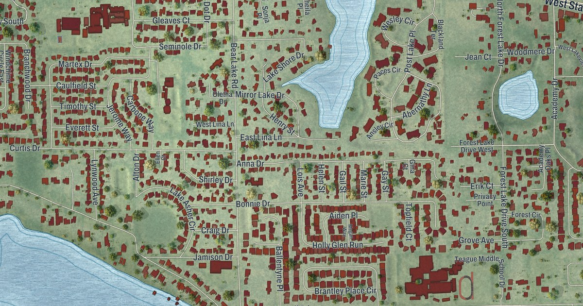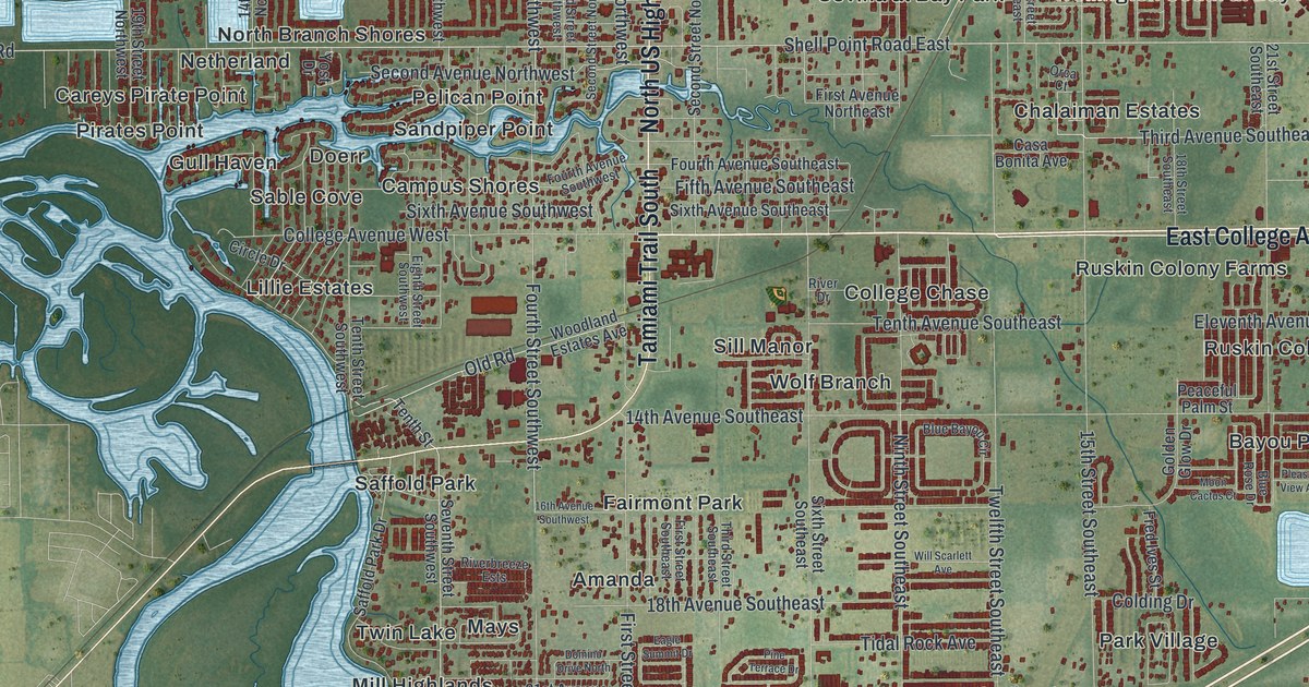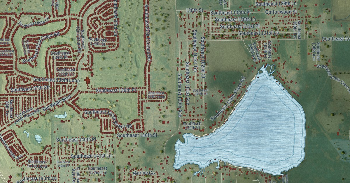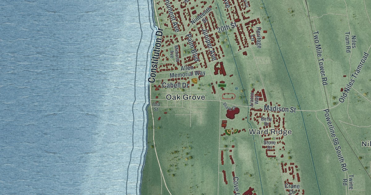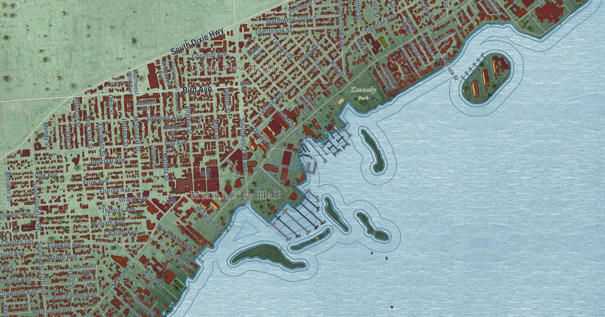
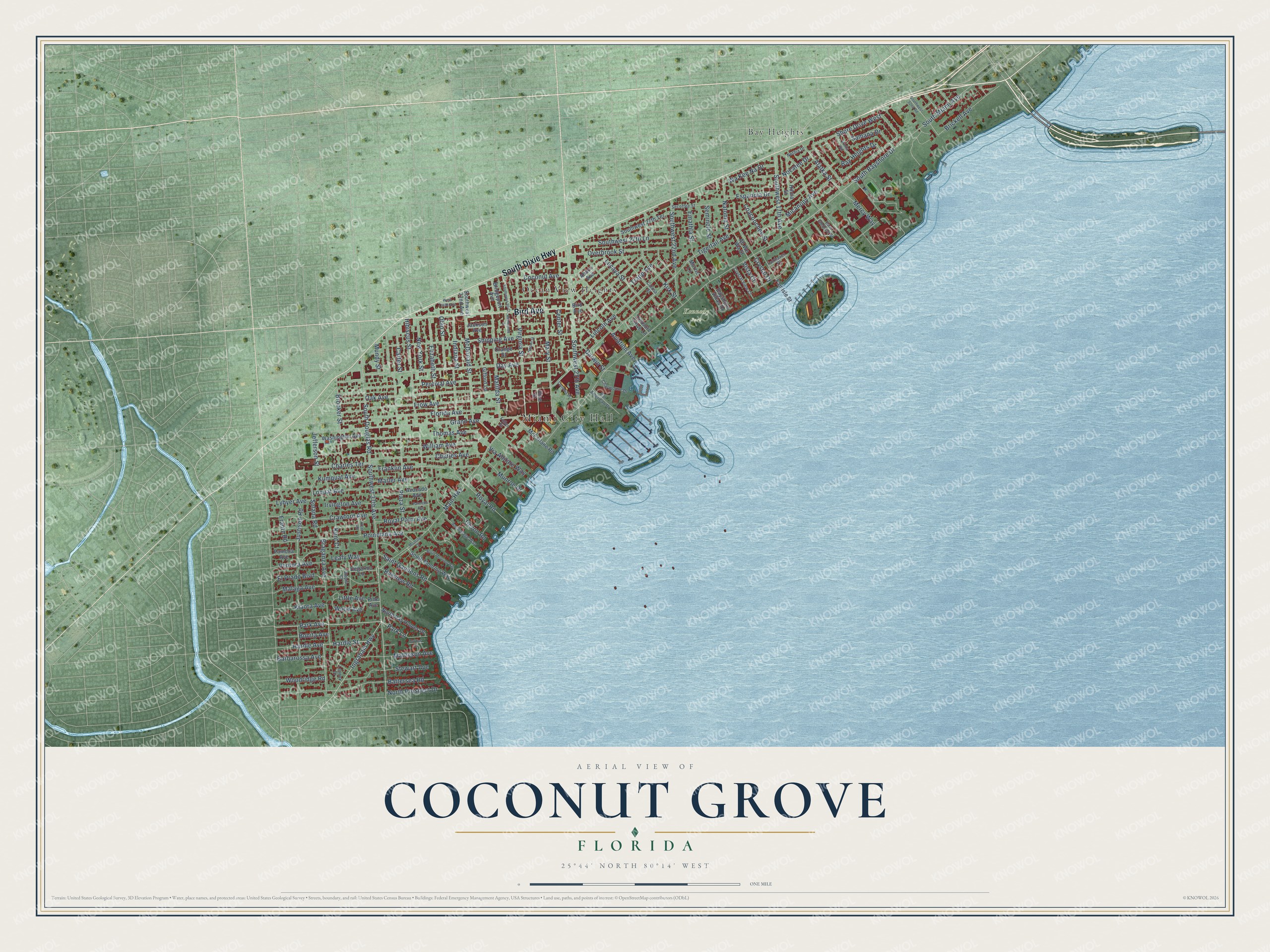
This beautifully detailed map of Coconut Grove, Florida was created in 2026 using aerial imagery combined with modern topographical, census, street and landmark data. It’s a one-of-a-kind view of Coconut Grove that combines accurate data with a vintage aesthetic. The map shows every building in its true location, many of the roads carry their names, and the shaded topographic relief shows the shape of the land.
Explore an aerial view of Coconut Grove, Florida
On the map you’ll find Miami City Hall, Kennedy Park, Bay Heights, and Ocean View Heights, along with South Dixie Highway, Bird Avenue, Park Avenue, Ingraham Highway, Park Lane, Hardie Street, Alatka Street, Hardie Avenue, and more. If you look closely you can even find your house accurately drawn in its correct location. Zoom in on the preview to look for yours.
Did You Know?
From Internet Archive: "Munroe states that a permanent settlement was made in Coconut Grove when John Frow and family, Jack Peacock, Charles Peacock and family, the Pent family, the Newbolds, Roberts, Rhodes and Jenkinson settled there."
Coconut Grove is a place in Miami-Dade County.
Take a closer look at the Coconut Grove map
Names on this map
These names are printed on this map.
Places: Miami City Hall, Kennedy Park, Bay Heights and Ocean View Heights.
Streets and roads: South Dixie Highway, Bird Avenue, Park Avenue, Ingraham Highway, Park Lane, Hardie Street, Alatka Street, Hardie Avenue, Braganza Avenue, Via Abitare Way, South Bayshore Drive, Tigertail Avenue.
More street names, A to Z
Abaco Avenue, Ah We Wa Street, Allamanda Street, Anchorage Way, Aviation Avenue, Avocado Avenue, Barbarossa Avenue, Battersea Road, Bay Heights Drive, Bayshore Villas Drive, Bayview Road, Bonita Avenue, Brickell Avenue, Bridgeport Avenue, Brooker Street, Calusa Street, Carter Street, Center Street, Charles Avenue, Charles Terrace, Charthouse Drive, Coacoochee Street, Coconut Avenue, Cornelia Drive, Crawford Avenue, Crystal Court, Crystal View Court, Curtiss Lane, Darwin Street, Day Avenue, Degarmo Lane, Devon Road, East Glencoe Street, Elizabeth Street, El Prado Boulevard, Emathla Street, Espanola Drive, Fairhaven Place, Fair Isle Street, Florida Avenue, Franklin Avenue, Frantz Road, Frow Avenue, Fuller Street, Gifford Lane, Grand Avenue, Hibiscus Street, Hilola Street, Indiana Street, Irvington Avenue, Jackson Avenue, Jefferson Street, Justison Road, Kent Court, Kent Road, Kiaora Avenue, Kirk Street, Kumquat Avenue, Leafy Way, Lennox Drive, Lincoln Avenue, Little Avenue, Loquat Avenue, Lucaya Street, Lybyer Avenue, Main Highway, Malaga Avenue, Marler Avenue, Mary Street, Matheson Avenue, Matilda Street, McDonald Street, McFarlane Road, Mercy Way, Micanopy Avenue, Mooring Court, Morris Lane, Mundy Street, Munroe Drive, Naomi Street, Natoma Street, Nethia Drive, New York Street, Nocatee Drive, North Bay Homes Drive, North Mooring Way, North Prospect Drive, Oak Avenue, Ohio Street, Orange Street, Overbrook Street, Palmetto Avenue, Pamona Avenue, Pan American Drive, Percival Avenue, Pine Avenue, Pinta Road, Plaza Street, Poinciana Avenue, Rice Street, Royal Palm Avenue, Royal Road, Saint Gaudens Road, Samana Drive, Secoffee Street, Seminole Street, Shipping Avenue, Shore Drive West, Solana Road, South Douglas Road, South Miami Avenue, South Mooring Way, Southwest 17th Avenue, Southwest 22nd Avenue, Southwest 27th Avenue, Southwest 27th Lane, Southwest 27th Terrace, Southwest 30 Court, Southwest 32nd Avenue, Southwest 32nd Road, Southwest 37th Avenue, Stewart Avenue, Thomas Avenue, Trapp Avenue, Treasure Trove Lane, Utopia Court, Ventura Avenue, Virginia Street, Vista Court, Wa Kee Na Drive, Washington Avenue, West Trade Avenue, William Avenue, Wood Avenue, Woodridge Road.
See it on a wall
The Coconut Grove map as a framed print. Swipe for more.


This beautifully detailed map of Coconut Grove makes an attractive addition to your office, library, or den, and it can even be used to teach children the geography and history of the area. It also makes a great gift for anyone with Coconut Grove roots. When you’re done exploring, click here to get your copy of the Coconut Grove map.