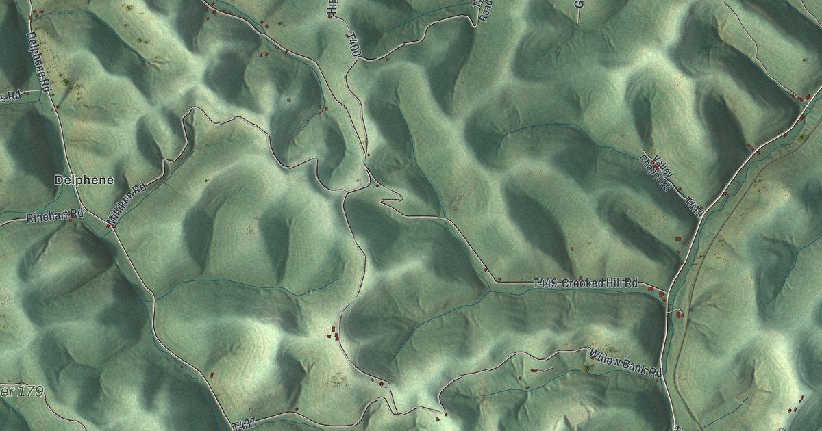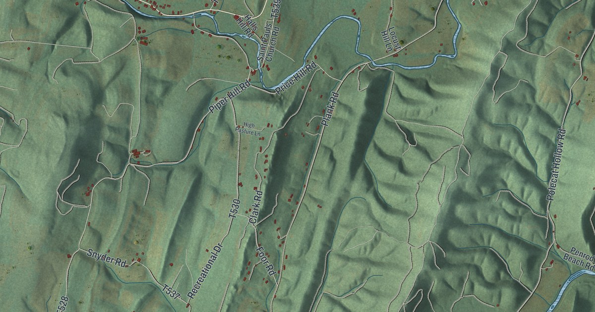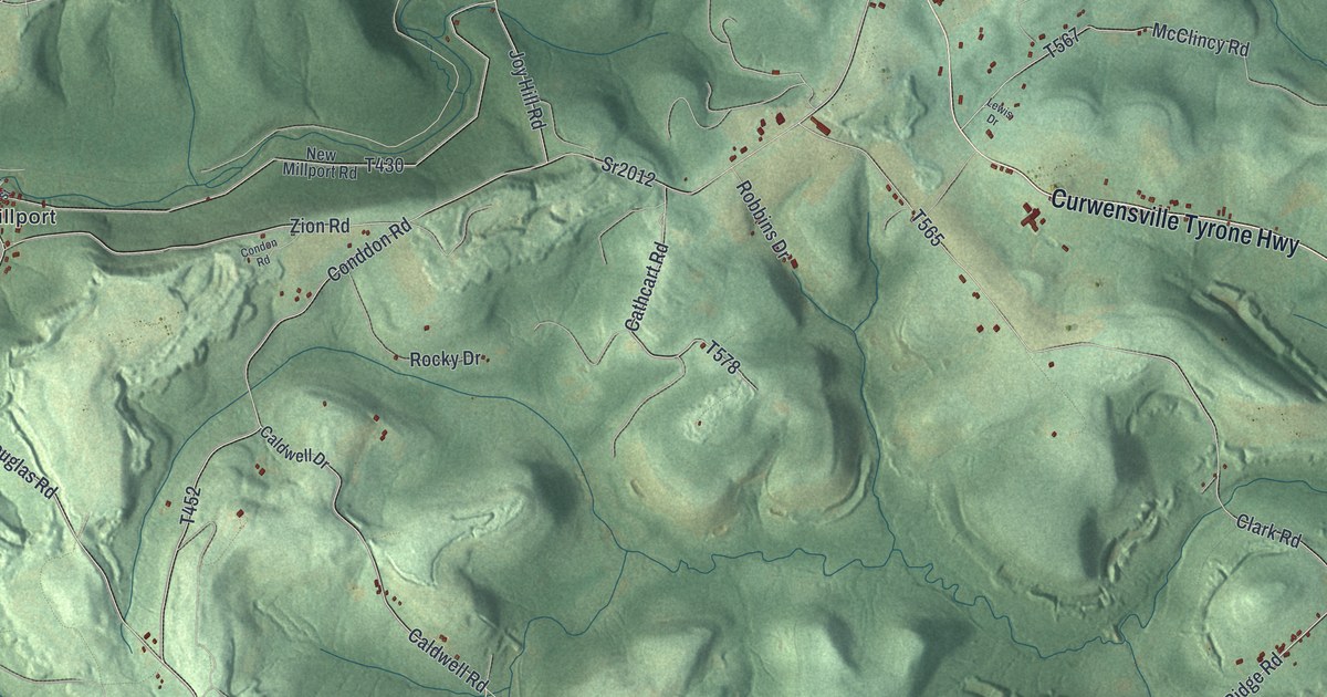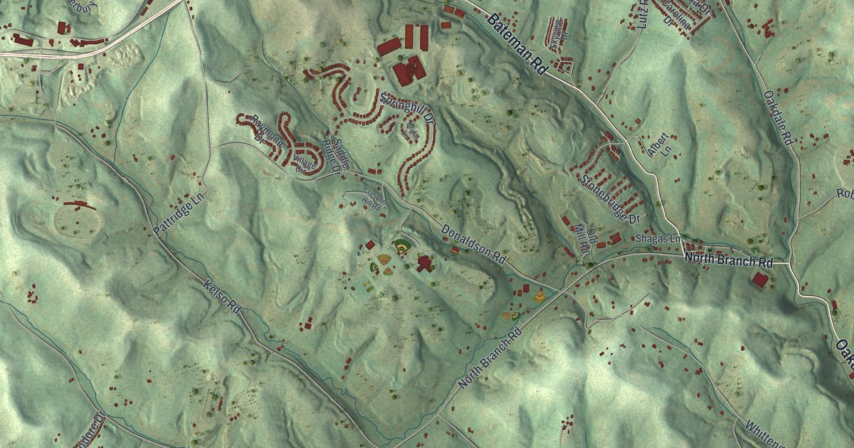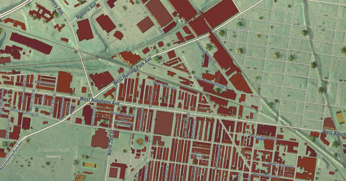
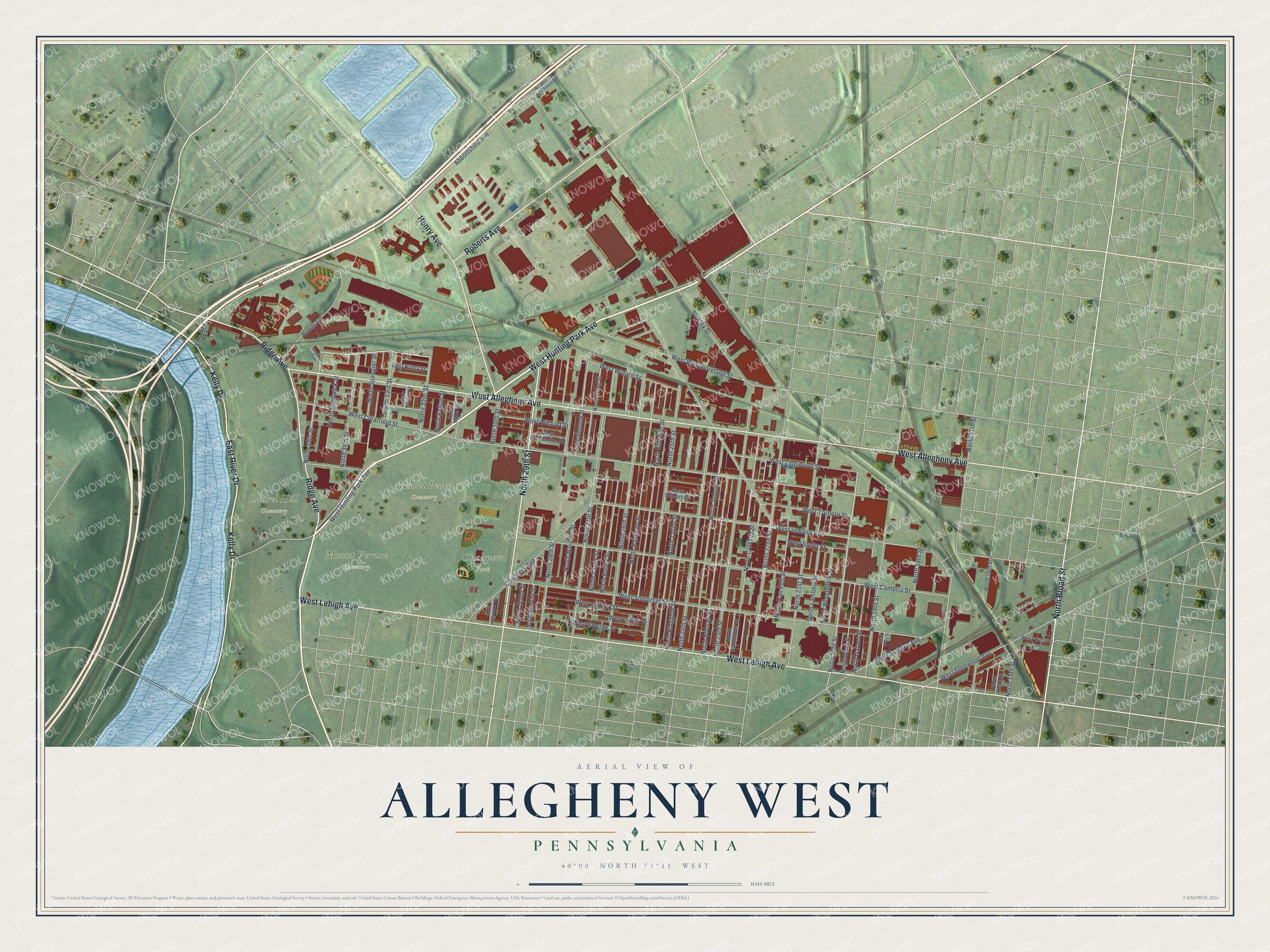
This beautifully detailed map of Allegheny West, Pennsylvania was created in 2026 using aerial imagery combined with modern topographical, census, street and landmark data. It’s a one-of-a-kind view of Allegheny West that combines accurate data with a vintage aesthetic. The map shows every building in its true location, many of the roads carry their names, and the shaded topographic relief shows the shape of the land.
Explore an aerial view of Allegheny West, Pennsylvania
On the map you’ll find Chalmers Park, Laurel Hill Cemetery, Mount Peace Cemetery, Mount Vernon Cemetery, and Tioga, along with West Hunting Park Avenue, West Lehigh Avenue, West Allegheny Avenue, Ridge Avenue, North 29th Street, East River Drive, Kelly Drive, and more. If you look closely you can even find your house accurately drawn in its correct location. Zoom in on the preview to look for yours.
Take a closer look at the Allegheny West map
Names on this map
These names are printed on this map.
Places: Chalmers Park, Laurel Hill Cemetery, Mount Peace Cemetery, Mount Vernon Cemetery and Tioga.
Streets and roads: West Hunting Park Avenue, West Lehigh Avenue, West Allegheny Avenue, Ridge Avenue, North 29th Street, East River Drive, Kelly Drive, Henry Avenue, Roberts Avenue, North Broad Street, West Westmoreland Street, West Willard Street.
More street names, A to Z
Abbottsford Avenue, Chalmers Avenue, Ferry Road, Fox Street, North 15th Street, North 16th Street, North 17th Street, North 18th Street, North 19th Street, North 20th Street, North 21st Street, North 22nd Street, North 23rd Street, North 24th Street, North 25th Street, North 26th Street, North 27th Street, North 28th Street, North 30th Street, North 32nd Street, North 33rd Street, North 34th Street, North 35th Street, North Bailey Street, North Bambrey Street, North Bonsall Street, North Croskey Street, North Dover Street, North Etting Street, North Garnet Street, North Gratz Street, North Hemberger Street, North Hicks Street, North Hollywood Street, North Judson Street, North Lambert Street, North Marston Street, North Napa Street, North Natrona Street, North Newkirk Street, North Opal Street, North Patton Street, North Pennock Street, North Ringgold Street, North Shedwick Street, North Spangler Street, North Stillman Street, North Taney Street, North Taylor Street, North Van Pelt Street, North Woodstock Street, Scotts Lane, Stokley Street, Sugdens Row, West Abbottsford Avenue, West Cambria Street, West Clearfield Street, West Clementine Street, West Elkhart Street, West Glenwood Avenue, West Hilton Street, West Indiana Avenue, West Lippincott Street, West Rush Street, West Sedgley Avenue, West Seltzer Street, West Silver Street, West Somerset Street, West Stella Street, West Sterner Street, West Toronto Street, West Wishart Street.
See it on a wall
The Allegheny West, Philadelphia map as a framed print. Swipe for more.


This beautifully detailed map of Allegheny West, Philadelphia makes an attractive addition to your office, library, or den, and it can even be used to teach children the geography and history of the area. It also makes a great gift for anyone who grew up in Allegheny West or moved away. When you’re done exploring, click here to get your copy of the Allegheny West, Philadelphia map.