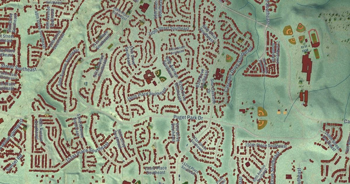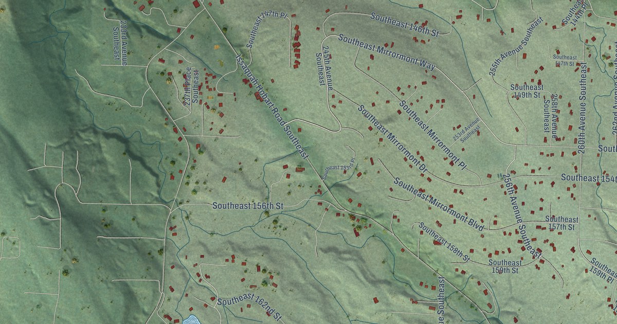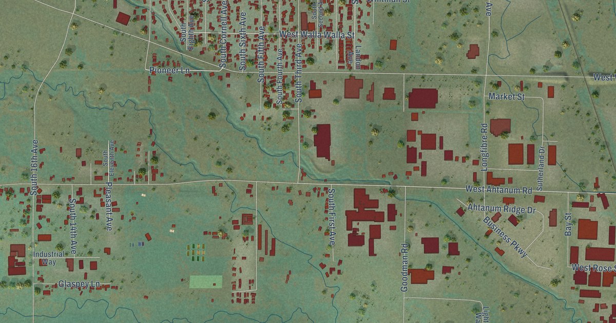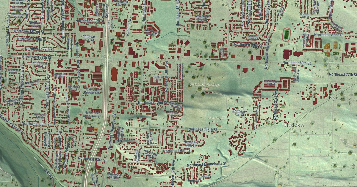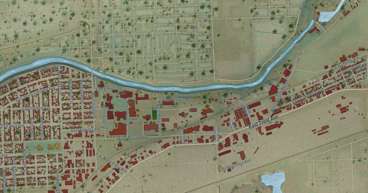
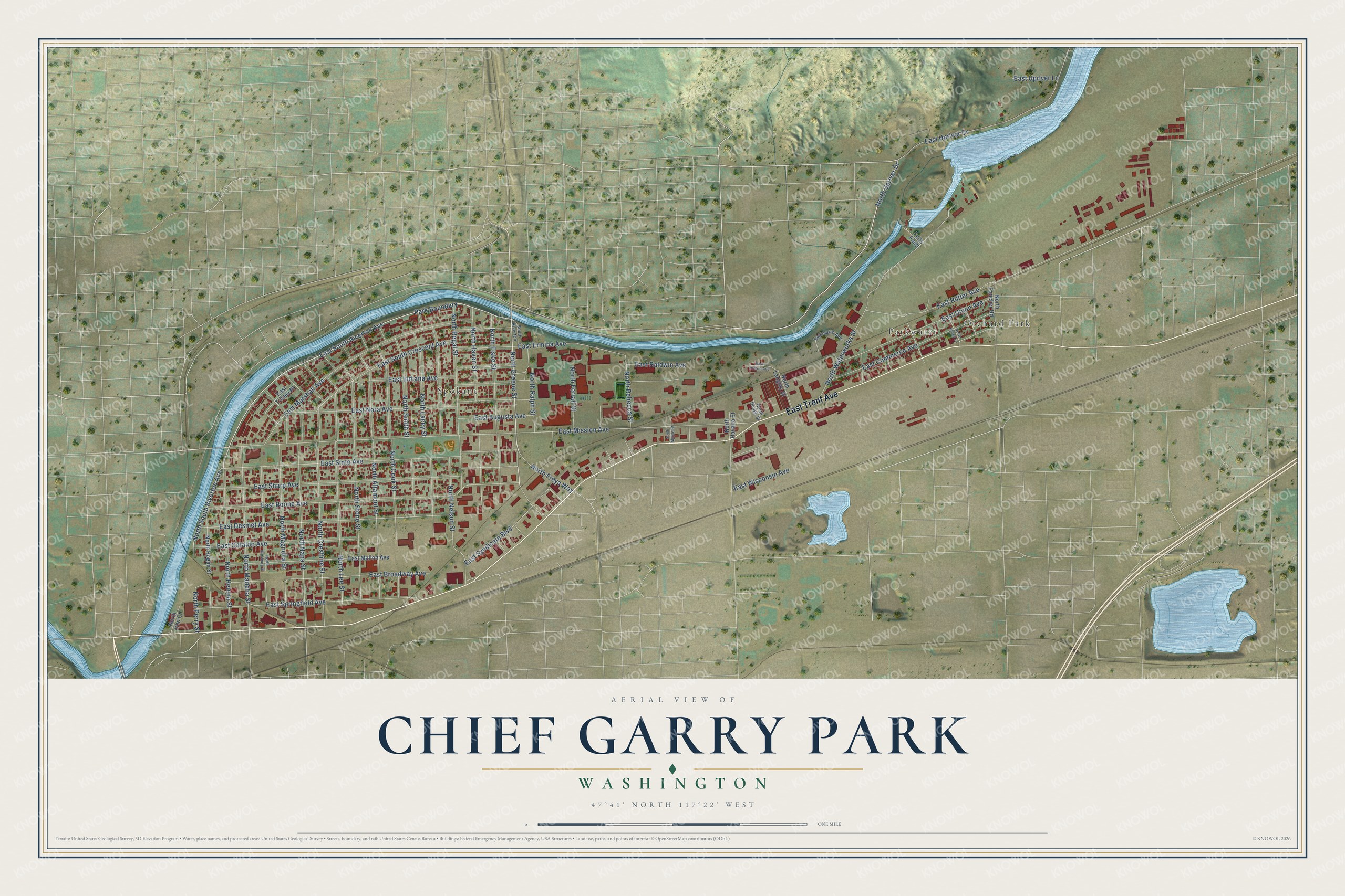
This beautifully detailed map of Chief Garry Park, Washington was created in 2026 using aerial imagery combined with modern topographical, census, street and landmark data. It’s a one-of-a-kind view of Chief Garry Park that combines accurate data with a vintage aesthetic. The map shows every building in its true location, many of the roads carry their names, and the shaded topographic relief shows the shape of the land.
Explore an aerial view of Chief Garry Park, Washington
On the map you’ll find Spokane, Orchard Park, and Parkwater, along with East Trent Avenue, East South Riverton Avenue, North Greene Street, North South Riverton Avenue, North Upriver Drive, East Mission Avenue, East Boone Avenue, East Sharp Avenue, East Marshall Avenue, and more. If you look closely you can even find your house accurately drawn in its correct location. Zoom in on the preview to look for yours.
Take a closer look at the Chief Garry Park map
Names on this map
These names are printed on this map.
Places: Spokane, Orchard Park and Parkwater.
Streets and roads: East Trent Avenue, East South Riverton Avenue, North Greene Street, North South Riverton Avenue, North Upriver Drive, East Mission Avenue, East Boone Avenue, East Sharp Avenue, East Marshall Avenue, Park Boundary, East Upriver Drive, East Sinto Avenue.
More street names, A to Z
East Augusta Avenue, East Baldwin Avenue, East Broadway Avenue, East Cataldo Avenue, East Commerce Avenue, East Desmet Avenue, East Ermina Avenue, East Hutton Avenue, East Indiana Avenue, East Mallon Avenue, East Nora Avenue, East Rutter Avenue, East South Crescent Avenue, East Springfield Avenue, East Surro Avenue, East Syndicate Boulevard, East Tilsley Place, East Union Avenue, East Upriver Lane, East Wisconsin Avenue, Felts Field, North Altamont Street, North Cook Street, North Crestline Street, North Fancher Road, North Ferrall Street, North Fiske Street, North Freya Way, North Havana Street, North Haven Street, North Helena Street, North Hogan Street, North Hough Street, North Iron Court, North Korey Lane, North Lacey Street, North Langley Street, North Lee Street, North Madelia Street, North Magnolia Street, North Myrtle Street, North Napa Street, North Nelson Street, North Perry Street, North Pittsburg Street, North Ralph Street, North Rebecca Street, North Regal Street, North Smith Street, North Stone Street, North Waterworks Street, South Riverton.
See it on a wall
The Chief Garry Park map as a framed print. Swipe for more.


This beautifully detailed map of Chief Garry Park makes an attractive addition to your office, library, or den, and it can even be used to teach children the geography and history of the area. It also makes a great gift for someone who left Chief Garry Park and still calls it home. When you’re done exploring, click here to get your copy of the Chief Garry Park map.