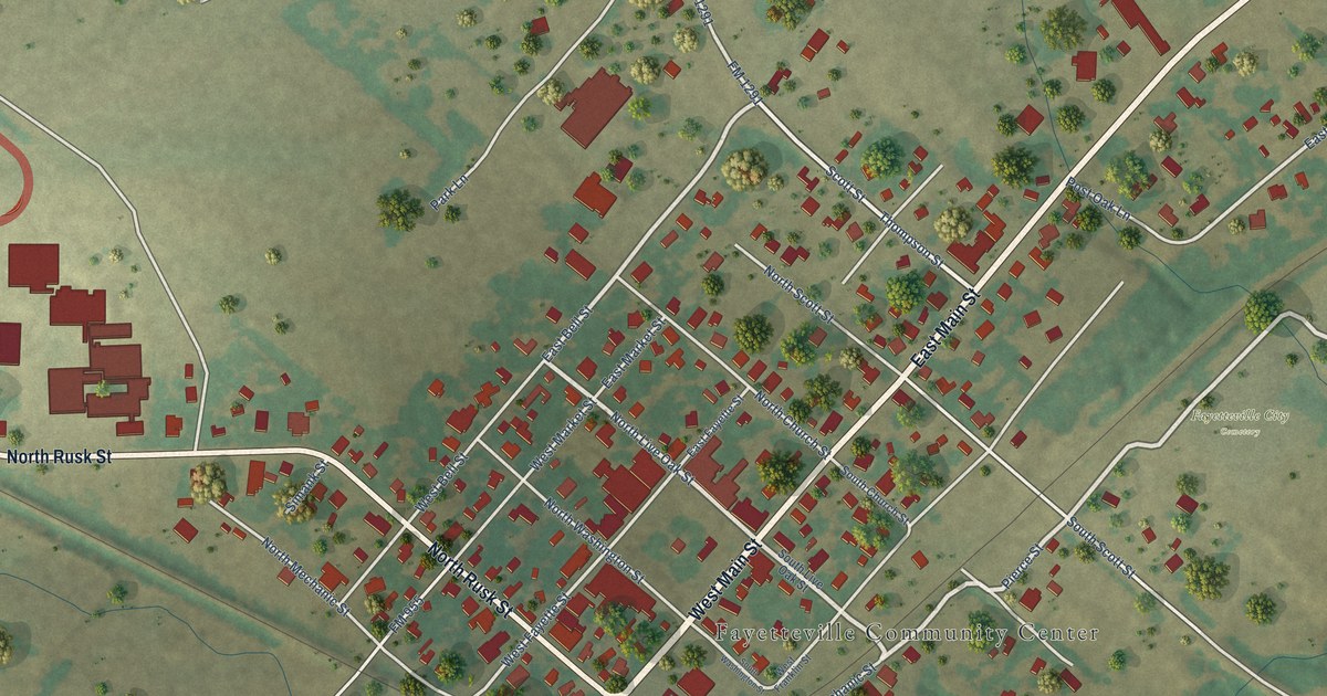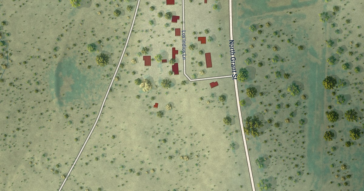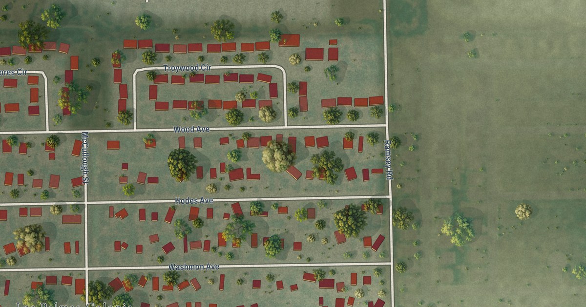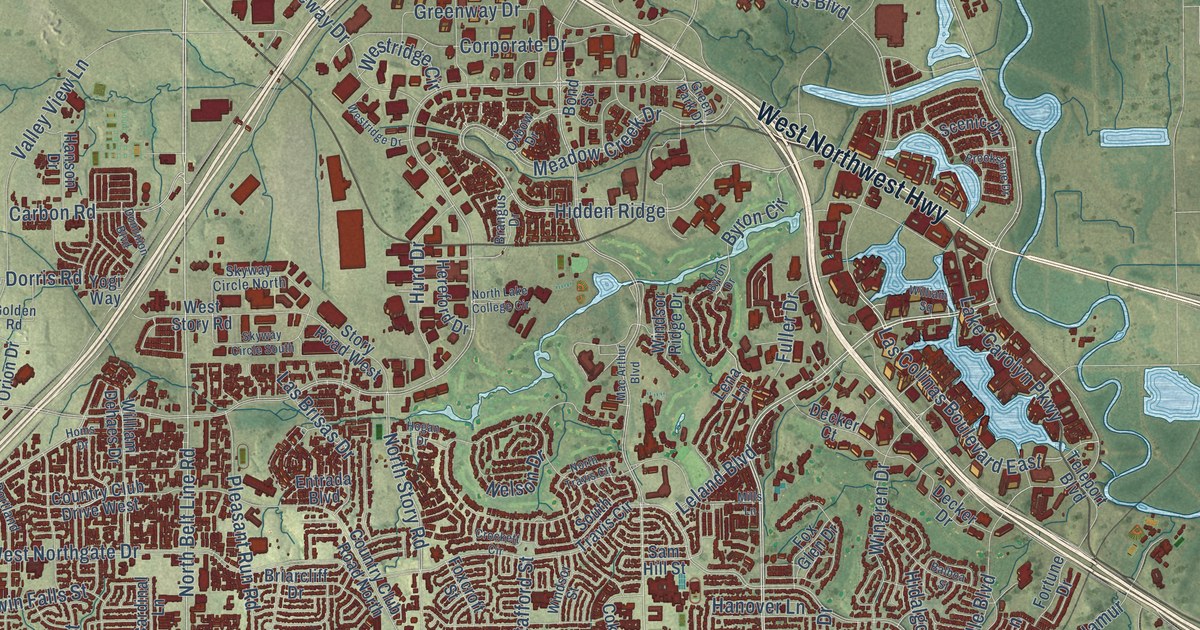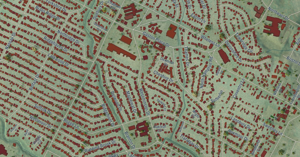
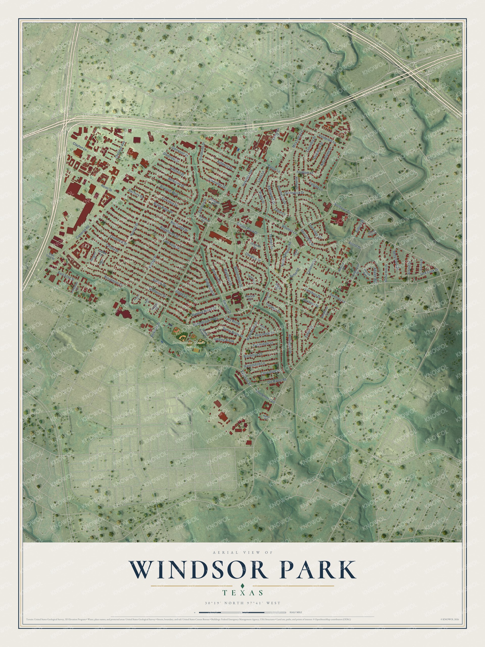
This beautifully detailed map of Windsor Park, Texas was created in 2026 using aerial imagery combined with modern topographical, census, street and landmark data. It’s a one-of-a-kind view of Windsor Park that combines accurate data with a vintage aesthetic. The map shows every building in its true location, many of the roads carry their names, and the shaded topographic relief shows the shape of the land.
Explore an aerial view of Windsor Park, Texas
On the map you’ll find Bartholomew District Park and Lazy Brook, along with Gaston Place Drive, Wheless Lane, Westminster Drive, Wellington Drive, North Hampton Road, 51st Street East, Kenilworth Drive, East 51st Street, Berkman Drive, Cameron Road, and more. If you look closely you can even find your house accurately drawn in its correct location. Zoom in on the preview to look for yours.
Take a closer look at the Windsor Park map
Names on this map
These names are printed on this map.
Places: Bartholomew District Park.
Streets and roads: Gaston Place Drive, Wheless Lane, Westminster Drive, Wellington Drive, North Hampton Road, 51st Street East, Lazy Brook, Kenilworth Drive, East 51st Street, Berkman Drive, Cameron Road, Northridge Drive.
More street names, A to Z
Abingdon Place, Adalee Avenue, Andover Place, Arnold Drive, Ashberry Drive, Auburn Drive, Avon Place, Belfast Drive, Berkshire Drive, Betty Cook Drive, Blanton Drive, Braes Ridge Drive, Briarcliff Boulevard, Bristol Drive, Broadmoor Drive, Brookdale Lane, Brookside Drive, Brunswick Drive, Chatham Avenue, Cheshire Drive, Chimney Creek Circle, Clayton Lane, Cloverdale Lane, Cloverleaf Drive, Colgate Lane, Columbia Drive, Corona Drive, Coventry Lane, Danbury Square, Delwood Court, Delwood Drive, Devonshire Drive, Dexmoor Drive, Dorchester Drive, Dunbury Drive, Duquesne Drive, East 52nd Street, East 53rd Street, Eaton Lane, Enterprise Court, Exeter Drive, Fordham Lane, Friendswood Drive, Glencrest Drive, Glenvalley Drive, Glenwood Drive, Greenbrook Parkway, Halwill Place, Haney Drive, Harwill Circle, Hickman Avenue, Hillcrest Drive, Jack Cook Drive, Knight Circle, Lancaster Court, Lansbury Drive, Larkwood Drive, Linda Lane, Ludlow Terrace, Manor Circle, Mapleleaf Drive, Middale Lane, Mira Loma Lane, Nassau Drive, Northeast Drive, Notre Dame Drive, Oakleaf Circle, Old Manor Road, Patton Lane, Peacedale Lane, Peggy Street, Ravensdale Lane, Reinli Street, Ridgehaven Drive, Ridgemont Drive, Robinsdale Lane, Rogge Lane, Roxmoor Drive, Running Brook Drive, Sandhurst Circle, Shady Brook Lane, Sheridan Avenue, Singing Brook, Suffolk Drive, Sunny Brook Drive, Sutherlin, Sweeney Lane, Sweetbriar Avenue, Thames Drive, Towbridge Circle, Trafalgar Drive, Vanderbilt Lane, Vernon Avenue, Vioitha Drive, Walnut Hills Drive, Waterbrook Drive, Westmoor Drive, Wheless Cv, Wight Cv, Windward Drive, Yorkshire Drive.
See it on a wall
The Windsor Park map as a framed print. Swipe for more.


This beautifully detailed map of Windsor Park makes an attractive addition to your office, library, or den, and it can even be used to teach children the geography and history of the area. It also makes a great gift for anyone who grew up in Windsor Park or moved away. When you’re done exploring, click here to get your copy of the Windsor Park map.