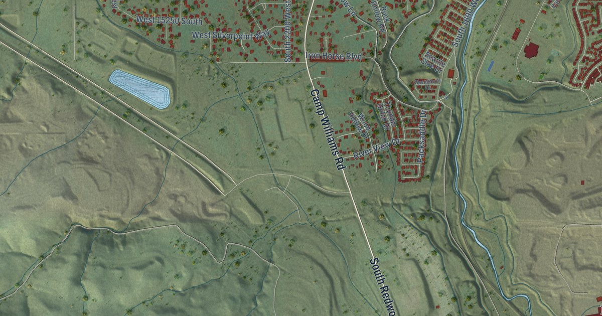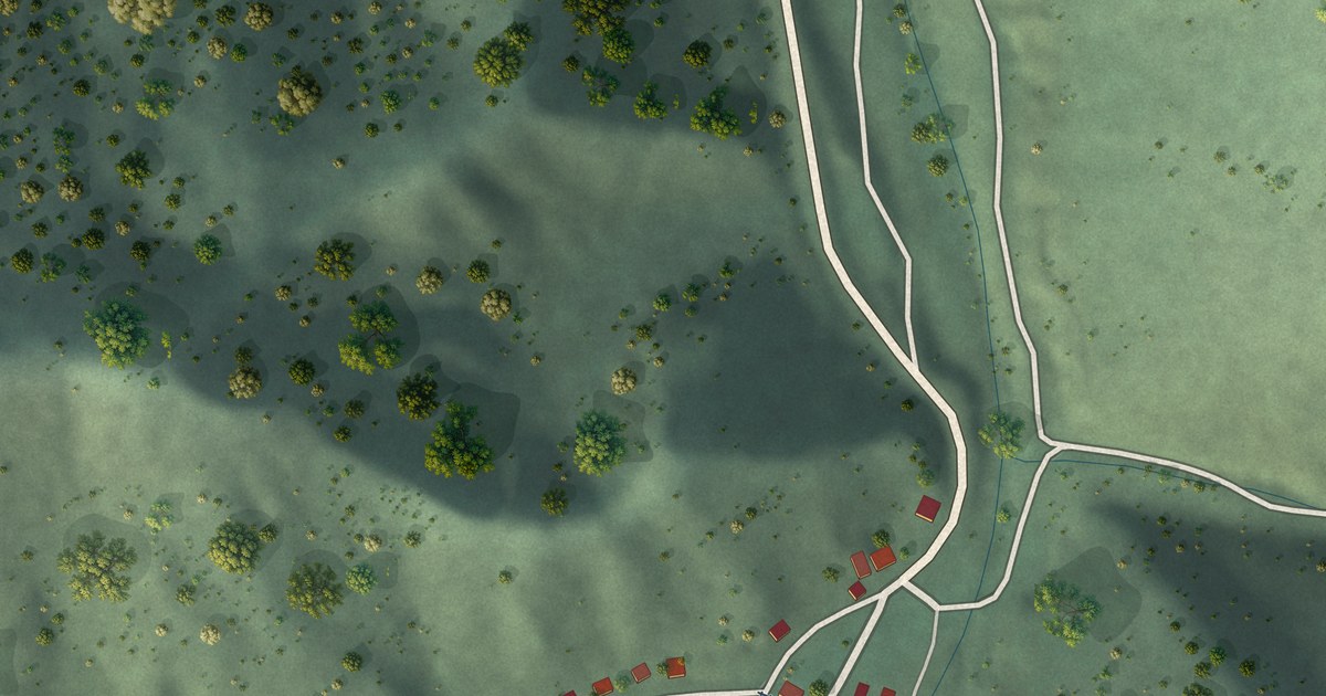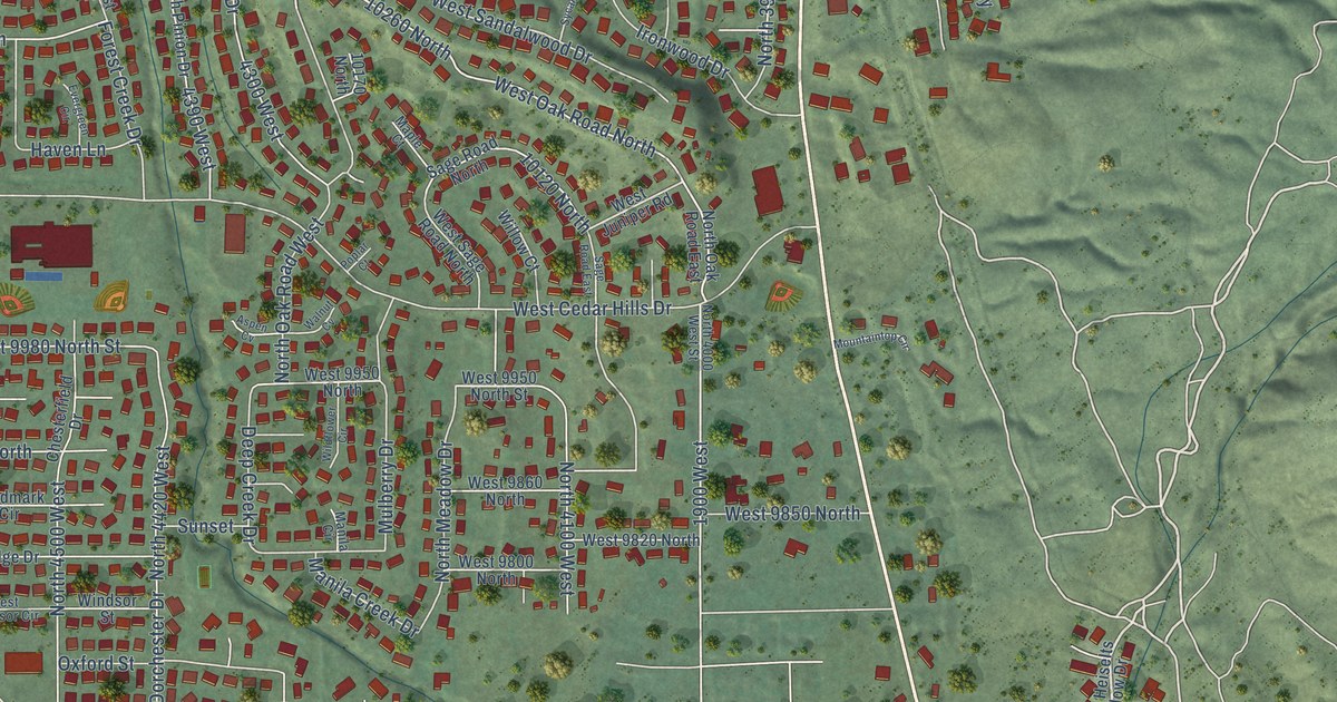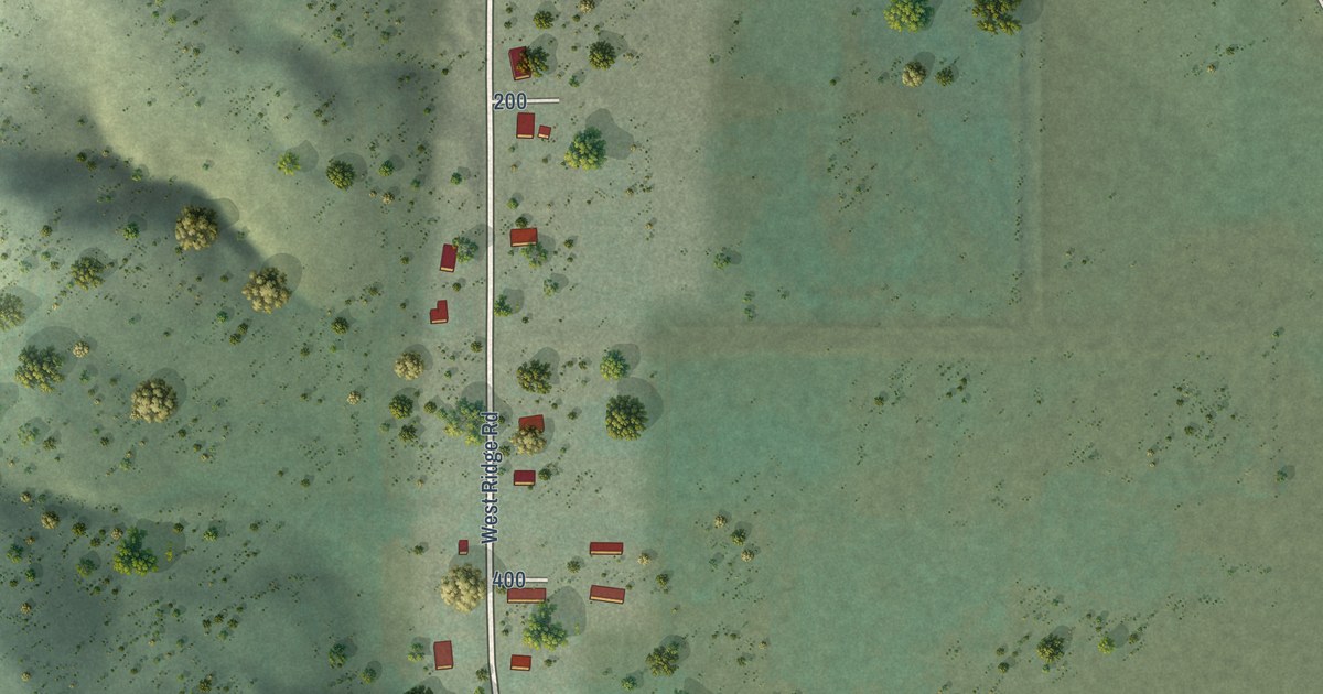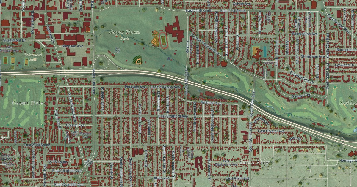
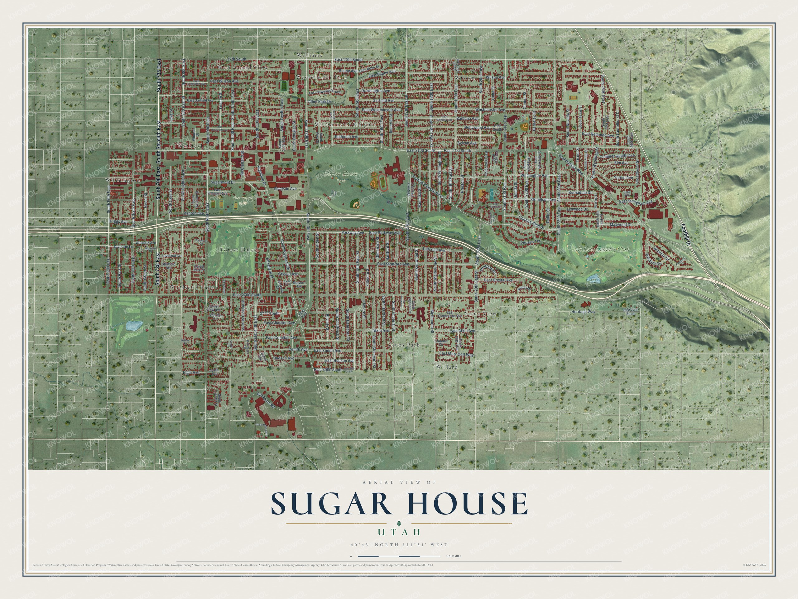
This beautifully detailed map of Sugar House, Utah was created in 2026 using aerial imagery combined with modern topographical, census, street and landmark data. It’s a one-of-a-kind view of Sugar House that combines accurate data with a vintage aesthetic. The map shows every building in its true location, many of the roads carry their names, and the shaded topographic relief shows the shape of the land.
Explore an aerial view of Sugar House, Utah
On the map you’ll find Fairmont Park, Sugar House Park, Willard, Wilson, Yuma View, Wilmington, Forest Dale, West Grand View, Winfield, Williams, and Westminster Heights, along with Windsor Circle, and more. If you look closely you can even find your house accurately drawn in its correct location. Zoom in on the preview to look for yours.
Did You Know?
From Internet Archive: "Bishop Smoot was then placed in charge of Sugar House Ward, so named for the sugar works established there."
Sugar House is a place in Salt Lake County.
Take a closer look at the Sugar House map
Names on this map
These names are printed on this map.
Places: Fairmont Park, Sugar House Park, Windsor Circle, Willard, Wilson, Yuma View, Wilmington, Forest Dale, West Grand View, Winfield, Williams, Westminster Heights, Westminster Park, Zions Park and Salt Lake Country Club.
Streets and roads: South 700 East, South 735 East, South Seventh East, Foothill Drive, Melbourne Street, South 500 East, South Highland Drive, Lincoln Street, South Twelfth East, Hudson Avenue, South 1300 East, South 2000 East.
More street names, A to Z
17th South, 1300 East, 1400 East, 1700 East Frontage, 1955 South, 2775 South, Allen Park Drive, Angelita Court, Ashton Avenue, Atkin Avenue, Austin Avenue, Berkeley Street, Bernadine Drive, Beverly Street, Blaine Avenue, Brickyard Road, Broadmoor Street, Caton Way, Charlton Circle, Commonwealth Avenue, Connor Street, Country Club Drive, Crandall Circle, Crystal Avenue, Dallin Street, Division Lane, Downington Avenue, Driggs Avenue, East 21st South, East 30th South, East 1700 South, East 2100 South, East 2700 South, East 2760 South, East 3000 South, East Ashton Circle, East Atkin Avenue, East Berkeley Street, East Blaine Avenue, East Charlton Avenue, East Claybourne Avenue, East Coatsville Avenue, East Crandall Avenue, East Crystal Avenue, East Downington Avenue, East Garfield Avenue, East Hollywood Avenue, East Hudson Avenue, East Mary Dott Way, East Parkway Avenue, East Parleys Way, East Ramona Avenue, East Redondo Avenue, East Simpson Avenue, East Stratford Avenue, East Stringham Avenue, East Westminster Avenue, East Wilson Avenue, East Zenith Avenue, Elgin Avenue, Elizabeth Street, Elm Avenue, Fairmont Circle, Fillmore Street, Filmore Street, Forest Park Court, Forest View Avenue, Garfield Avenue, Glen Arbor Street, Glenmare Street, Grandview Circle, Green Street, Hannibal Street, Hartford Street, Heritage Way, Highland Drive, Hillcrest Avenue, Hollywood Avenue, Imperial Street, Jasper Street, Judith Avenue, Lake Street, Loveland Avenue, Lynwood Drive, Mabey Drive, Malvern Avenue, Maywood Drive, McClelland Street, Mc Clelland Street, Meadow Lane, Nibley Circle, Oneida Street, Parkway Avenue, Parleys Canyon Boulevard, Parleys Terrace, Pasadena Street, Preston Street, Ramona Avenue, Redondo Avenue, Sage Way, Simpson Avenue, South 13th East, South 15th East Street, South 17th East Street, South 18th East Street, South 19th East, South 19th East Street, South 20th East, South 20th East Street, South 21st East, South 22nd East, South 23rd East, South 25th East, South 25th East Street, South 600 East, South 800 East, South 800 East Street, South 900 East, South 1000 East, South 1100 East, South 1200 East, South 1400 East, South 1500 East, South 1600 East, South 1700 East, South 1800 East, South 1900 East, South 1935 East, South 2030 East, South 2060 East, South 2100 East, South 2200 East, South 2300 East, South 2500 East, South 2600 East, South Alden Street, South Brickyard Lane, South Chadwick Street, South Dearborn Street, South Douglas Street, South Eighth East, South Eleventh East, South Fifth East, South Glenmare Street, South Green Street, South Hartford Street, South Imperial Street, South Kenwood Street, South King Street, South Lake Street, South Laurelhurst Drive, South Lincoln Street, South McClelland Street, South Melbourne Street, South Nevada Street, South Ninth East, South Park Street, South Parleys Circle, South Sixth East, South Sonnet Drive, South Tenth East, South Texas Street, South View Street, South Wellington Street, South Windsor Street, South Wyoming Street, Stratford Avenue, Stratford Drive, Stringham Avenue, Sugarmont Drive, Sylvan Avenue, Texas Street, Warnock Avenue, Westminster Avenue, Wilmington Avenue, Wilshire Circle, Wilshire Drive, Wilson Avenue, Windsor Street, Wyoming Street, Yermo Avenue, Yuma Street, Zenith Avenue, Zenith Circle.
See it on a wall
The Sugar House map as a framed print. Swipe for more.


This beautifully detailed map of Sugar House makes an attractive addition to your office, library, or den, and it can even be used to teach children the geography and history of the area. It also makes a great gift for anyone who grew up in Sugar House or moved away. When you’re done exploring, click here to get your copy of the Sugar House map.