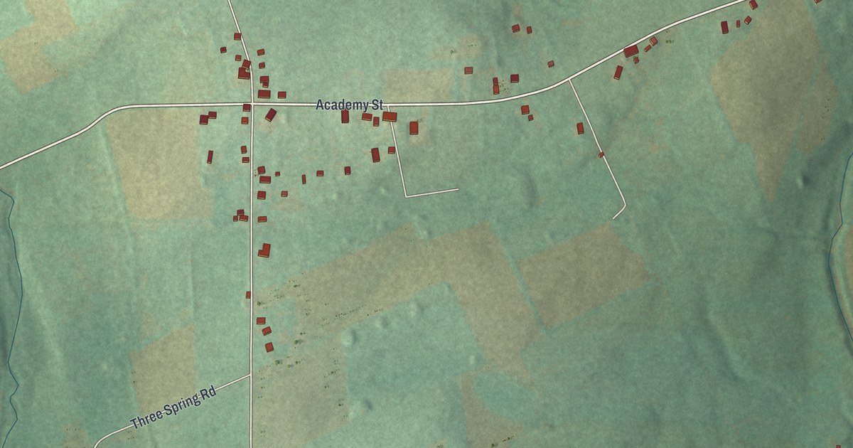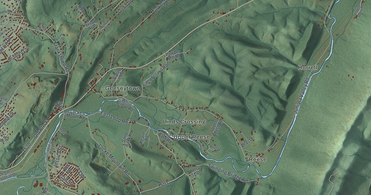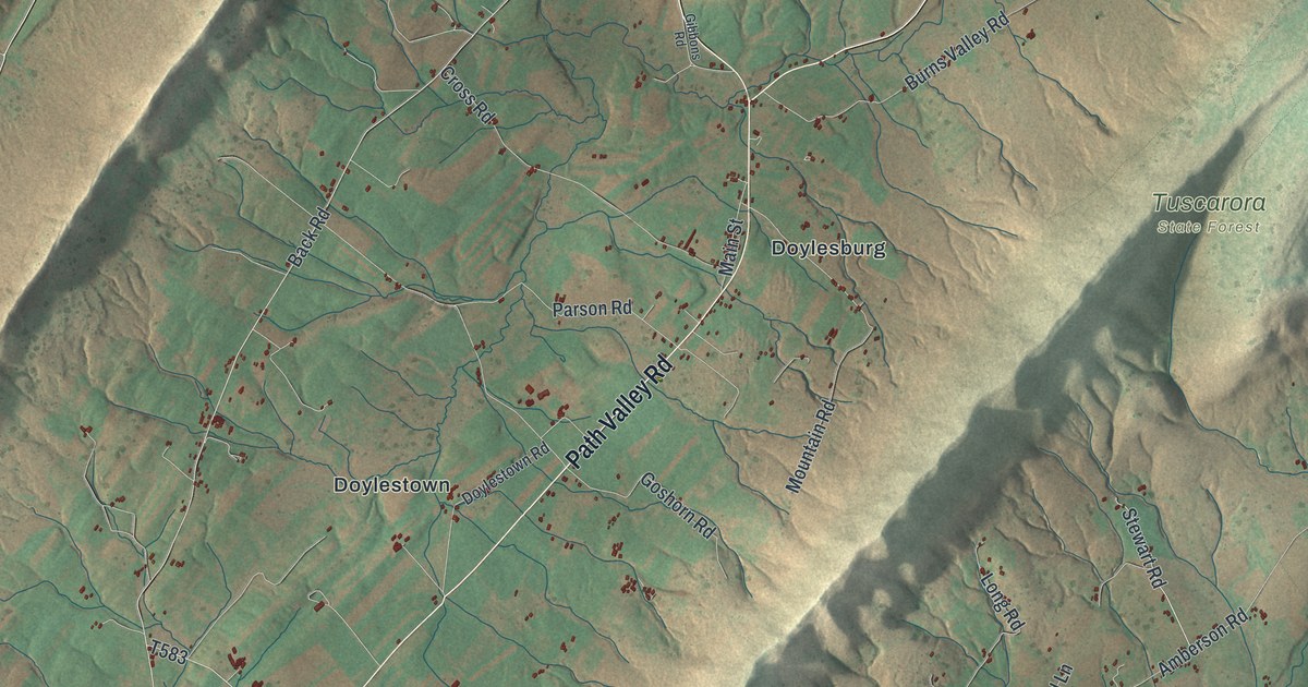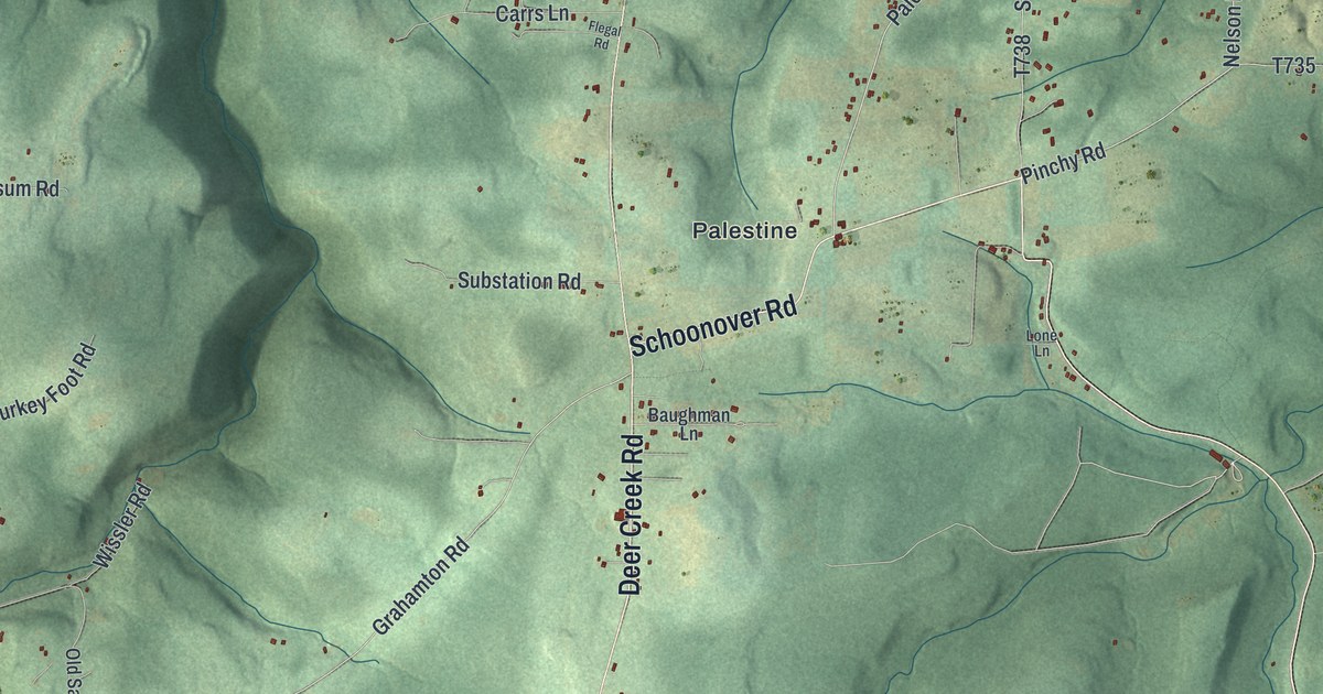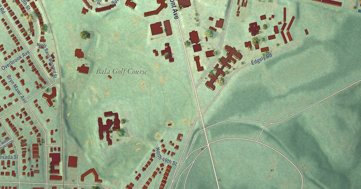
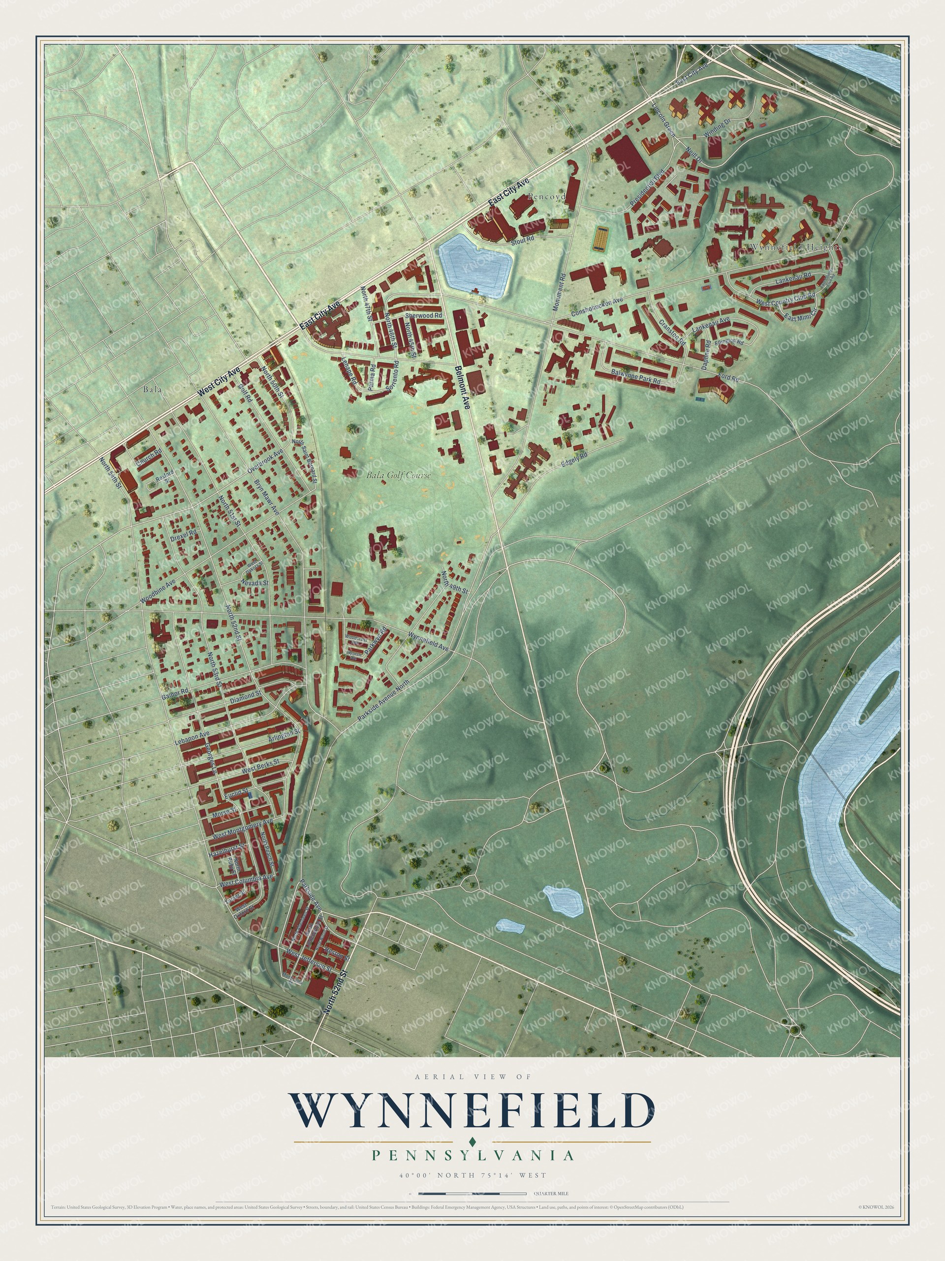
This beautifully detailed map of Wynnefield, Pennsylvania was created in 2026 using aerial imagery combined with modern topographical, census, street and landmark data. It’s a one-of-a-kind view of Wynnefield that combines accurate data with a vintage aesthetic. The map shows every building in its true location, many of the roads carry their names, and the shaded topographic relief shows the shape of the land.
Explore an aerial view of Wynnefield, Pennsylvania
On the map you’ll find Pencoyd, Bala, Wynnefield Heights, and Bala Golf Course, along with East City Avenue, Belmont Avenue, West City Avenue, North 52nd Street, Parkside Avenue, North 53rd Street, Presidential Boulevard, North 46th Street, and more. If you look closely you can even find your house accurately drawn in its correct location. Zoom in on the preview to look for yours.
Did You Know?
From Internet Archive: "Wynnefield, a pretty suburban settlement has grown up along this portion of the Old Lancaster Road, just below City Avenue, and the name of the road, in Wynnefield, is now called Fifty-fourth Street."
Wynnefield is a place in Philadelphia County.
Take a closer look at the Wynnefield map
Names on this map
These names are printed on this map.
Places: Pencoyd, Bala, Wynnefield Heights and Bala Golf Course.
Streets and roads: East City Avenue, Belmont Avenue, West City Avenue, North 52nd Street, Parkside Avenue, North 53rd Street, Presidential Boulevard, North 46th Street, Sorrento Road, Lincoln Green, Neill Drive, Overbrook Avenue.
More street names, A to Z
Arlington Street, Balwynne Park Road, Bryn Mawr Avenue, Church Road, Conshohocken Avenue, Cranston Road, Daphne Road, Diamond Street, Drexel Road, East Country Club Road, East Mimi Circle, Edgely Road, Ellington Road, Euclid Street, Ford Road, Gainor Road, Georges Lane, Golf Road, Hazelhurst Street, Heston Street, Lankenau Avenue, Lankenau Road, Lebanon Avenue, Lenape Road, Monticello Street, Monument Road, Morse Street, Nevada Street, North 45th Street, North 47th Street, North 49th Street, North 50th Street, North 51st Street, North 54th Street, North Aberdeen Street, North Lindenwood Street, North Peach Street, North Ruby Street, North Saint Bernard Street, North Wilton Street, Parkside Avenue North, Parkwyn Road, Parma Road, Rexford Street, Sherwood Road, Stout Road, Turner Street, West Berks Street, West Columbia Avenue, West Country Club Road, West Dakota Street, West Jefferson Street, West Montgomery Avenue, West Oxford Street, Winding Drive, Woodbine Avenue, Woodcrest Avenue, Wyndale Avenue, Wynnefield Avenue.
See it on a wall
The Wynnefield map as a framed print. Swipe for more.


This beautifully detailed map of Wynnefield makes an attractive addition to your office, library, or den, and it can even be used to teach children the geography and history of the area. It also makes a great gift for anyone with Wynnefield roots. When you’re done exploring, click here to get your copy of the Wynnefield map.