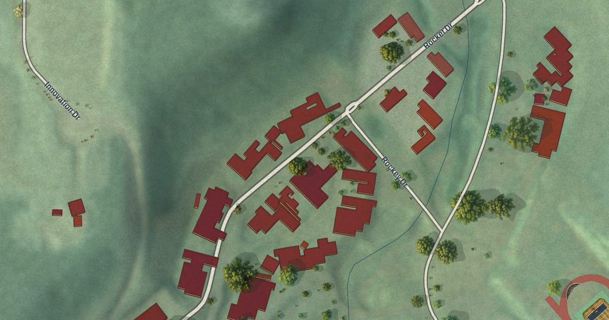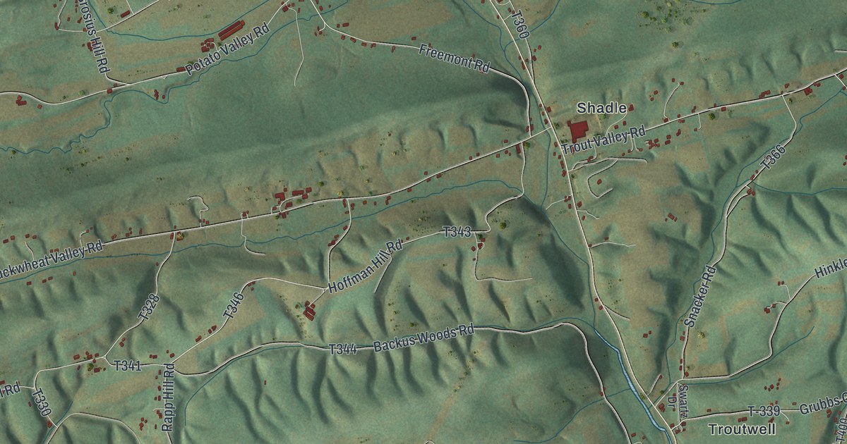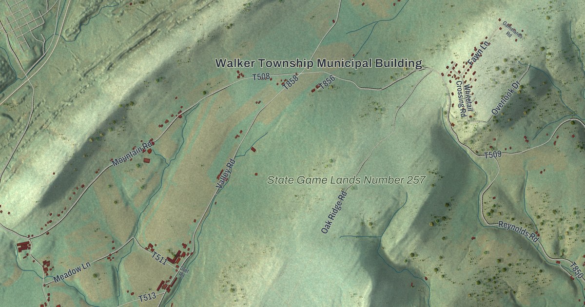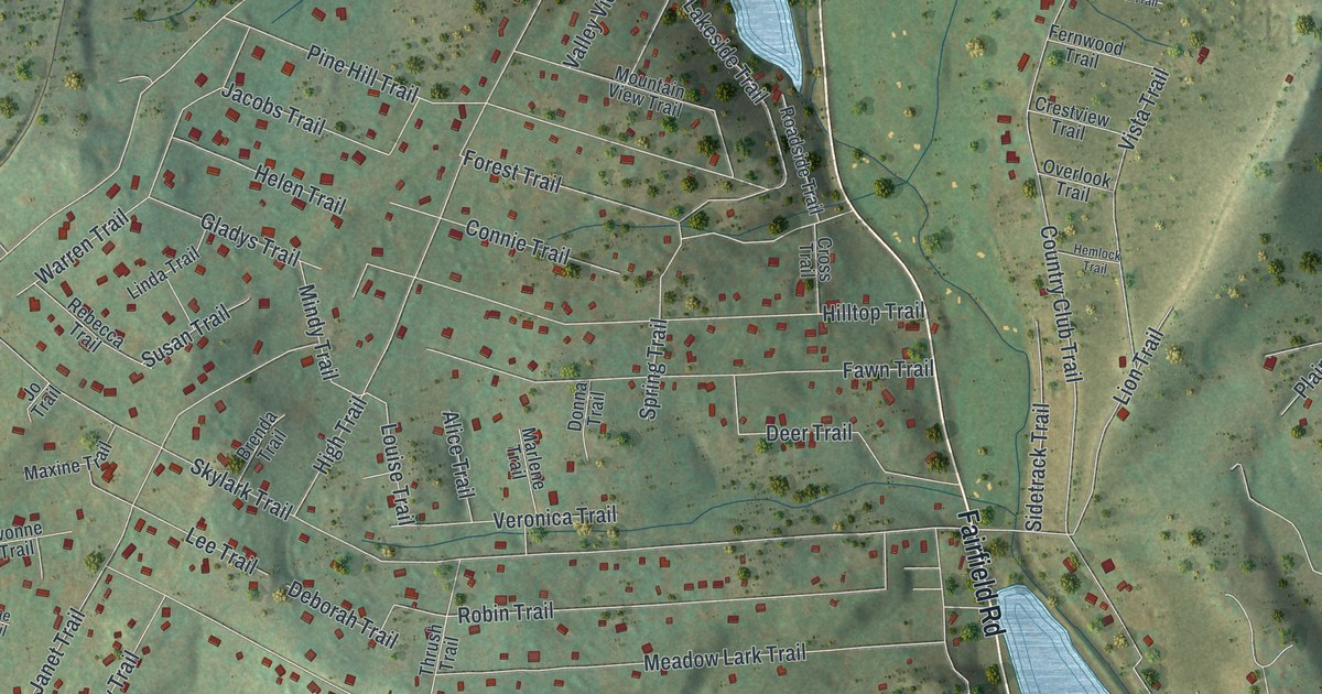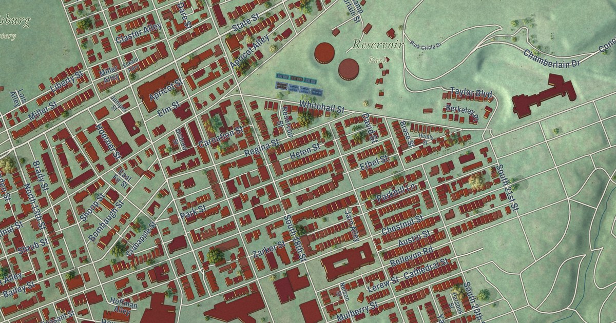
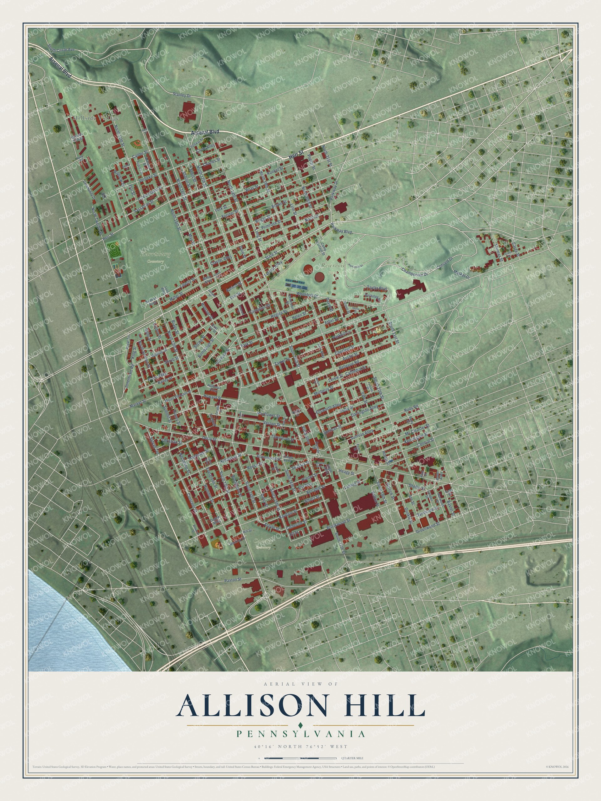
This beautifully detailed map of Allison Hill, Pennsylvania was created in 2026 using aerial imagery combined with modern topographical, census, street and landmark data. It’s a one-of-a-kind view of Allison Hill that combines accurate data with a vintage aesthetic. The map shows every building in its true location, many of the roads carry their names, and the shaded topographic relief shows the shape of the land.
Explore an aerial view of Allison Hill, Pennsylvania
On the map you’ll find Harrisburg Cemetery, Reservoir Park, Calvary Cemetery, and Hillside Village, along with Herr Street, Arsenal Boulevard, State Street, North 17th Street, Stanley Drive, South 13th Street, North 13th Street, Parkway Boulevard, and more. If you look closely you can even find your house accurately drawn in its correct location. Zoom in on the preview to look for yours.
Did You Know?
From Internet Archive: "That section of Harrisburg, commonly called Allison Hill should have immediate attention by the Conference."
Allison Hill is a place in Dauphin County.
Take a closer look at the Allison Hill map
Names on this map
These names are printed on this map.
Places: Harrisburg Cemetery, Reservoir Park, Calvary Cemetery and Hillside Village.
Streets and roads: Herr Street, Arsenal Boulevard, State Street, North 17th Street, Stanley Drive, South 13th Street, North 13th Street, Parkway Boulevard, Concert Drive, Parkway Drive, North 16th Street, South 16th Street.
More street names, A to Z
Alan Street, Albert Street, Apricot Alley, Apricot Street, Argyle Street, Ashland Street, Augusta Street, Austin Street, Bailey Street, Balm Street, Baxter Street, Beckley Street, Bellevue Road, Berkeley Place, Berryhill Street, Bigelow Court, Bigelow Drive, Block Alley, Boas Street, Bolton Street, Bombaugh Street, Bowman Street, Boyer Alley, Brady Street, Bratton Alley, Briggs Street, Brook Street, Brookwood Street, Brose Street, Brown Street, Buckthorn Street, Calder Street, Camp Curtain Street, Carey Street, Carlisle Street, Carnation Street, Cathedral Street, Catherine Street, Central Street, Chamberlain Drive, Charles Street, Chestnut Street, Christian Street, Claster Alley, Clyde Alley, Community Drive, Compass Alley, Cooper Street, Crabapple Street, Cream Alley, Crescent Street, Crest Street, Crooked Street, Cumberland Street, Daisy Street, Dare Street, Darlington Alley, David Street, Derry Street, Disbrow Street, Dodge Alley, Drummond Street, Dunkle Street, East Fir Street, Eaton Street, Eckard Alley, Edgar Alley, Ella Alley, Ell Street, Ellsworth Alley, Elm Street, Ethel Street, Evergreen Street, Fishel Alley, Flor Street, Forest Street, Forster Street, Greenwood Street, Haehnlen Street, Heagy Street, Heinly Street, Helen Street, Hetrick Street, Hill Street, Hoerner Street, Hoffman Alley, Holly Street, Home Street, Honey Street, Hop Street, Howard Street, Hummel Street, Hunter Street, Ice Street, Jarn Alley, Jonestown Road, Juniper Street, Kelly Street, Kensington Street, Kent Street, King Street, Kittatinny Street, Kunkel Street, Lerew Street, Liberty Street, Linden Street, Linn Street, Lois Alley, Long Street, Ludwig Street, Market Drive, Market Street, Mayflower Street, May Street, Mc Cleaster Street, Miller Alley, Miller Street, Mount Pleasant Street, Mulberry Street, Naudain Street, Nectarine Street, Nelson Street, North 14th Street, North 15th Street, North 18th Street, North 19th Street, North 20th Street, North 21st Street, North Street, North Summit Street, North Twelfth Street, Norwood Street, Park Circle Drive, Parkhill Lane, Park Street, Parkway Road, Parsons Street, Paxton Street, Pearl Street, Poplar Street, Primrose Street, Reese Street, Regina Street, Reily Road, Reily Street, Reservoir Street, Royal Terrace, Ruby Street, Rudy Road, Sassafras Street, Sharon Street, Shellis Street, Shoop Street, Short Street, Shrub Street, South 14th Street, South 15th Street, South 17th Street, South 18th Street, South 19th Street, South 20th Street, South 21st Street, South Circle Avenue, Spencer Street, Sullivan Alley, Summit Street, Swatara Street, Sylvan Terrace, Syndicate Street, Taylor Boulevard, Thomas Street, Thompson Street, Verbeke Street, Vernon Street, Vista Alley, Walnut Street, Whitehall Street, Yale Street, York Street, Zarker Street.
See it on a wall
The Allison Hill map as a framed print. Swipe for more.


This beautifully detailed map of Allison Hill makes an attractive addition to your office, library, or den, and it can even be used to teach children the geography and history of the area. It also makes a great gift for anyone who grew up in Allison Hill or moved away. When you’re done exploring, click here to get your copy of the Allison Hill map.