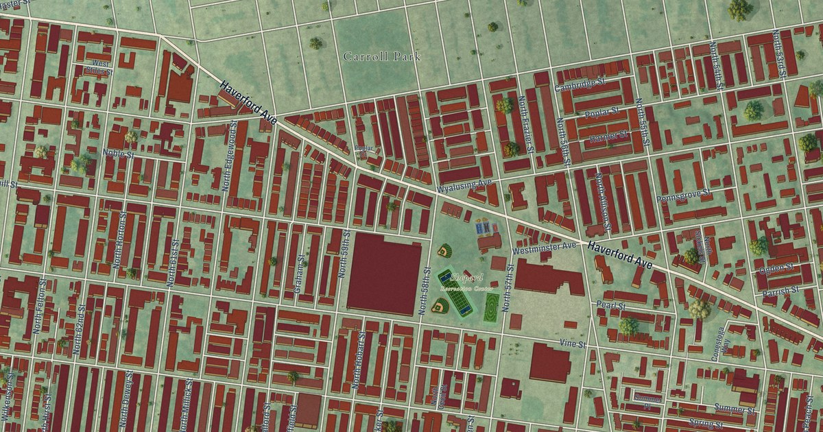
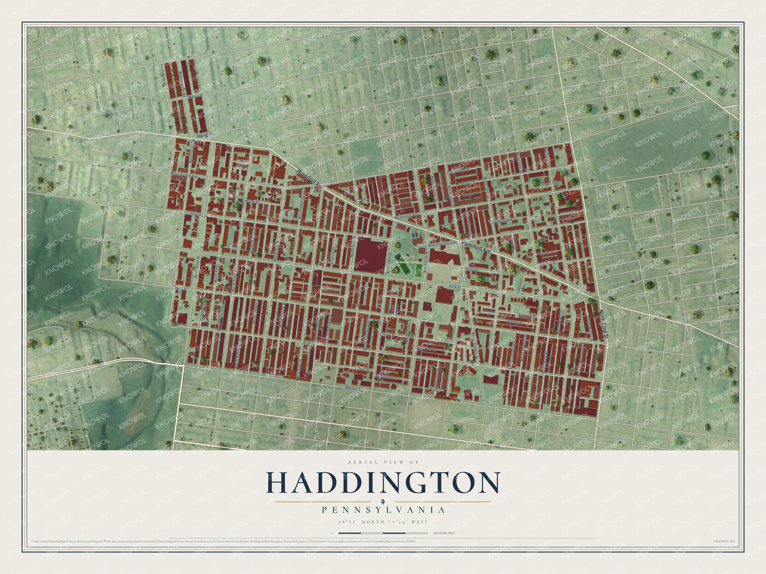
This beautifully detailed map of Haddington, Pennsylvania was created in 2026 using aerial imagery combined with modern topographical, census, street and landmark data. It’s a one-of-a-kind view of Haddington that combines accurate data with a vintage aesthetic. The map shows every building in its true location, many of the roads carry their names, and the shaded topographic relief shows the shape of the land.
Explore an aerial view of Haddington, Pennsylvania
On the map you’ll find Shepard Recreation Center and Carroll Park, along with Haverford Avenue, North 52nd Street, Vine Street, Race Street, Arch Street, Market Street, North 63rd Street, North 53rd Street, North 54th Street, North 56th Street, and more. If you look closely you can even find your house accurately drawn in its correct location. Zoom in on the preview to look for yours.
Did You Know?
From Internet Archive: "In the year 1832, the Philadelphia Baptist Association established a Manual Labor Academy at Haddington, in Blockley township, Philadelphia county, which four years later was chartered as Haddington College."
Haddington is a place in Philadelphia County.
Take a closer look at the Haddington map
Names on this map
These names are printed on this map.
Places: Shepard Recreation Center and Carroll Park.
Streets and roads: Haverford Avenue, North 52nd Street, Vine Street, Race Street, Arch Street, Market Street, North 63rd Street, North 53rd Street, North 54th Street, North 56th Street, North 57th Street, Callowhill Street.
More street names, A to Z
Appletree Street, Cambridge Street, Cherry Street, Commerce Street, Conestoga Way, Filbert Street, Graham Street, Harmer Street, Master Street, Media Street, Noble Street, North 55th Street, North 58th Street, North 59th Street, North 60th Street, North 61st Street, North 62nd Street, North 64th Street, North Alden Street, North Allison Street, North Cecil Street, North Conestoga Street, North Dewey Street, North Edgewood Street, North Felton Street, North Frazier Street, North Gross Street, North Hirst Street, North Hobart Street, North Horton Street, North Ithan Street, North Lindenwood Street, North Millick Street, North Peach Street, North Redfield Street, North Robinson Street, North Ruby Street, North Salford Street, North Sickels Street, North Vodges Street, North Wanamaker Street, North Wilton Street, North Yewdall Street, Ogden Street, Parrish Street, Pearl Street, Pennsgrove Street, Poplar Court, Poplar Street, Spring Street, Summer Place, Summer Street, West Girard Avenue, Westminster Avenue, West Stiles Street, Wilkenson Street, Wyalusing Avenue, Wynnewood Road.
See it on a wall
The Haddington map as a framed print. Swipe for more.


This beautifully detailed map of Haddington makes an attractive addition to your office, library, or den, and it can even be used to teach children the geography and history of the area. It also makes a great gift for someone who left Haddington and still calls it home. When you’re done exploring, click here to get your copy of the Haddington map.