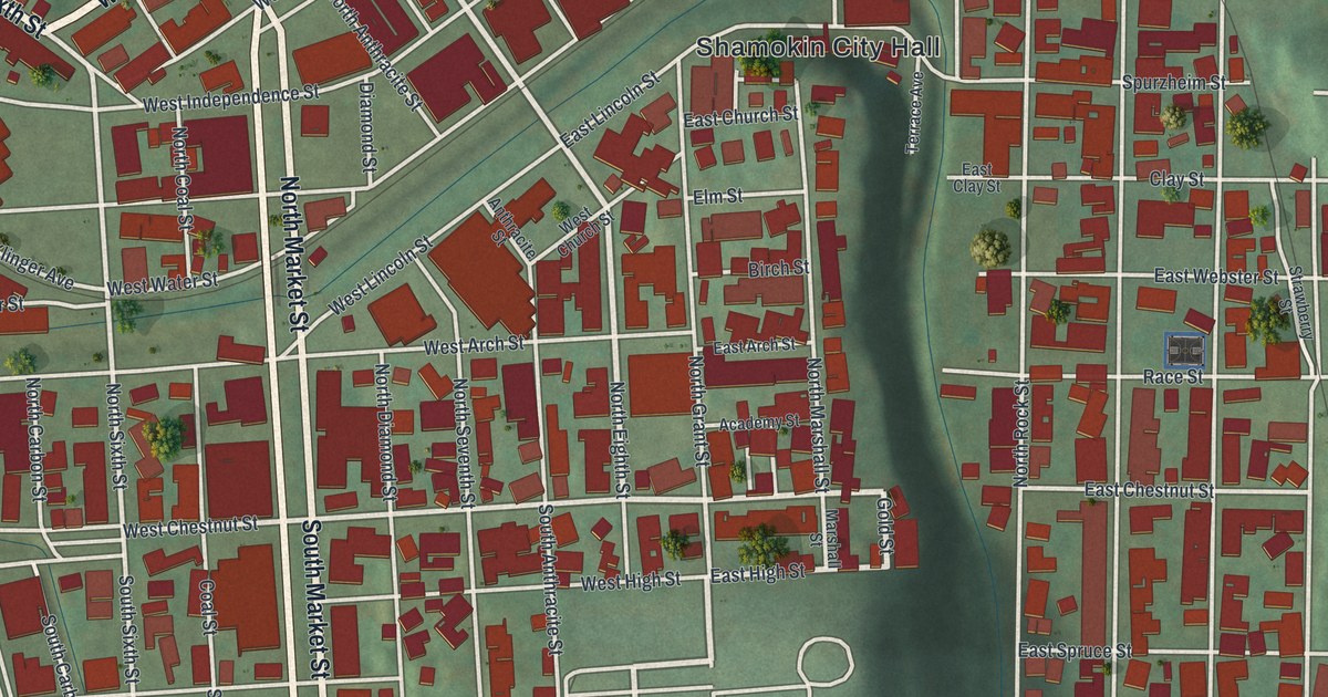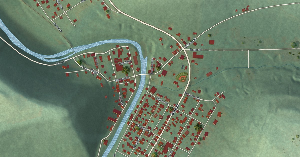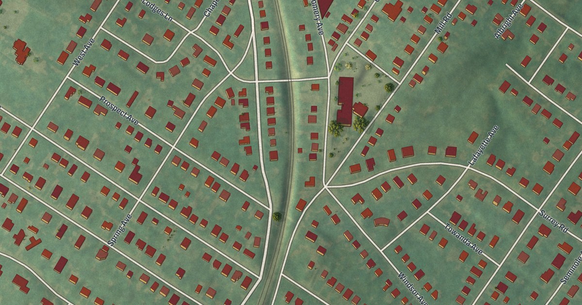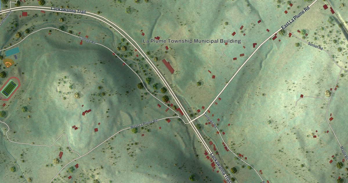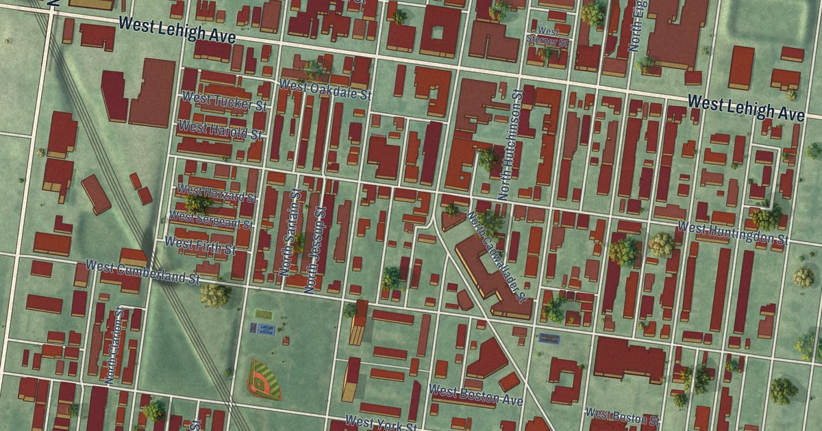
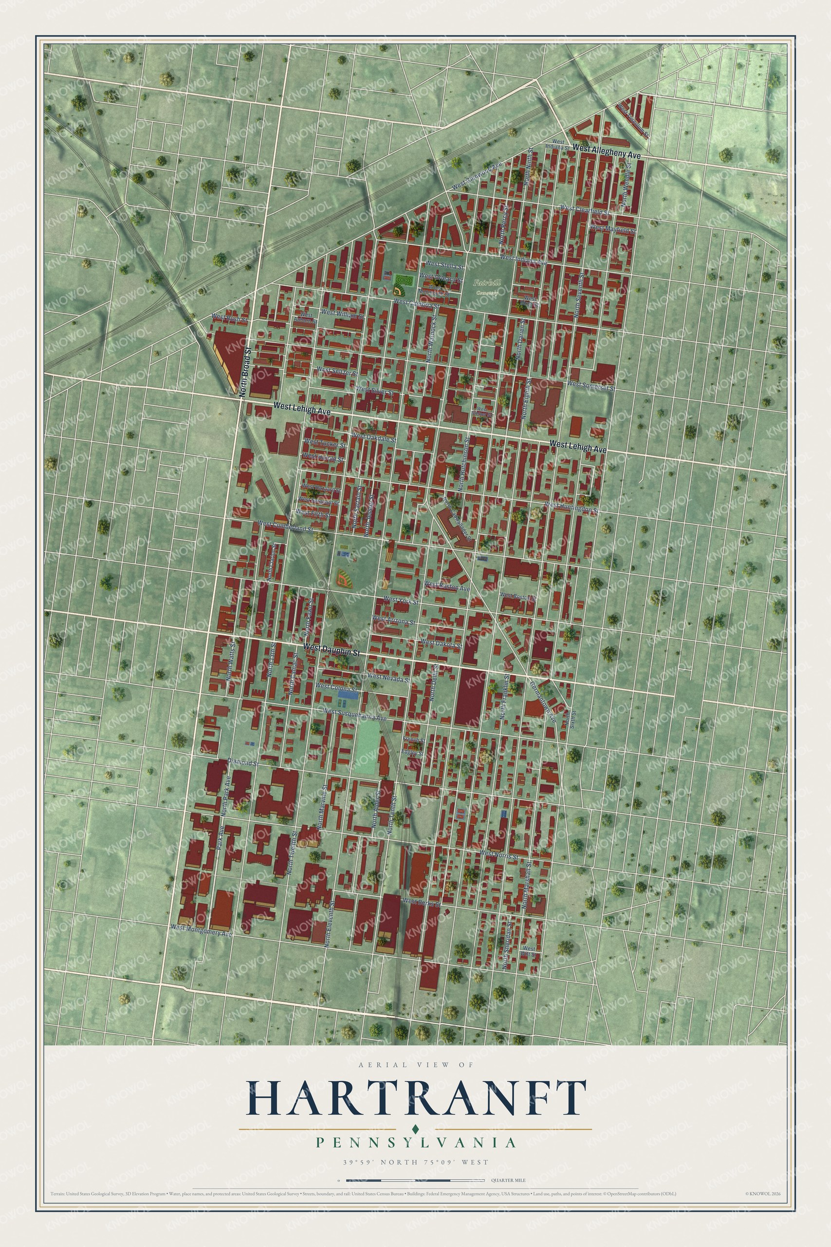
This beautifully detailed map of Hartranft, Pennsylvania was created in 2026 using aerial imagery combined with modern topographical, census, street and landmark data. It’s a one-of-a-kind view of Hartranft that combines accurate data with a vintage aesthetic. The map shows every building in its true location, many of the roads carry their names, and the shaded topographic relief shows the shape of the land.
Explore an aerial view of Hartranft, Pennsylvania
On the map you’ll find Fairhill Cemetery, along with West Dauphin Street, West Lehigh Avenue, North Broad Street, West Allegheny Avenue, Park Avenue, West Firth Street, North Wendle Street, North Seventh Street, North Eighth Street, North Ninth Street, North Eleventh Street, and more. If you look closely you can even find your house accurately drawn in its correct location. Zoom in on the preview to look for yours.
Did You Know?
From Internet Archive: "Your attention has already John Frederick Hartranft. 605 been called to the necessity of increasing and defining the powers of sheriffs, and you will also consider the means of improving the instrument confided to the Executive."
Hartranft is a place in Philadelphia County.
Take a closer look at the Hartranft map
Names on this map
These names are printed on this map.
Places: Fairhill Cemetery.
Streets and roads: West Dauphin Street, West Lehigh Avenue, North Broad Street, West Allegheny Avenue, Park Avenue, West Firth Street, North Wendle Street, North Seventh Street, North Eighth Street, North Ninth Street, North Eleventh Street, North Twelfth Street.
More street names, A to Z
Diamond Street, Edgley Street, French Street, Germantown Avenue, North 13th Street, North Alder Street, North Cadwallader Street, North Camac Street, North Clarion Street, North Darien Street, North Delhi Street, North Fawn Street, North Franklin Street, North Hutchinson Street, North Jessup Street, North Marshall Street, North Marvine Street, North Park Avenue, North Percy Street, North Sartain Street, North Sheridan Street, North Sixth Street, North Tenth Street, North Warnock Street, North Watts Street, West Arizona Street, West Auburn Street, West Berks Street, West Birch Street, West Boston Avenue, West Boston Street, West Cambria Street, West Clearfield Street, West Colona Street, West Cumberland Street, West Dakota Street, West Glenwood Avenue, West Harold Street, West Hazzard Street, West Huntingdon Street, West Indiana Avenue, West Indiana Street, West Mayfield Street, West Monmouth Street, West Montgomery Avenue, West Nevada Street, West Norris Street, West Oakdale Street, West Orleans Street, West Rush Street, West Seltzer Street, West Sergeant Street, West Silver Street, West Somerset Street, West Stella Street, West Sterner Street, West Susquehanna Avenue, West Tucker Street, West Tusculum Street, West William Street, West Wilt Street, West York Street.
See it on a wall
The Hartranft map as a framed print. Swipe for more.


This beautifully detailed map of Hartranft makes an attractive addition to your office, library, or den, and it can even be used to teach children the geography and history of the area. It also makes a great gift for anyone who grew up in Hartranft or moved away. When you’re done exploring, click here to get your copy of the Hartranft map.