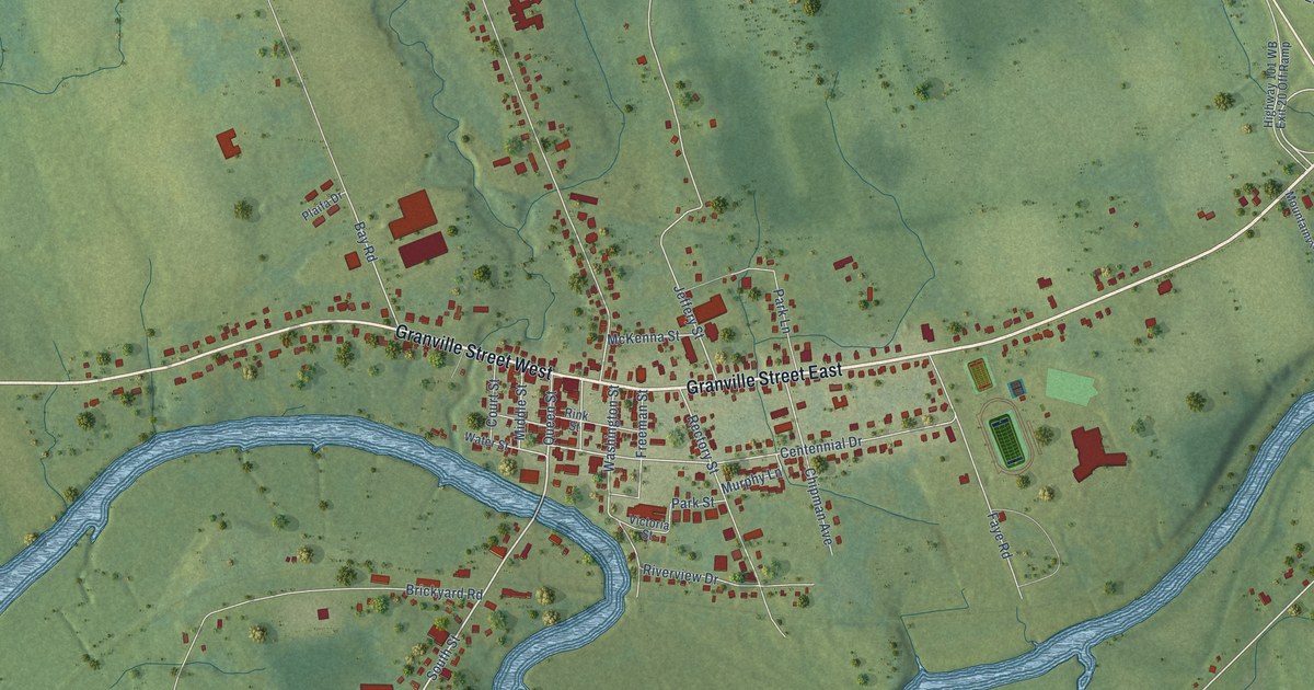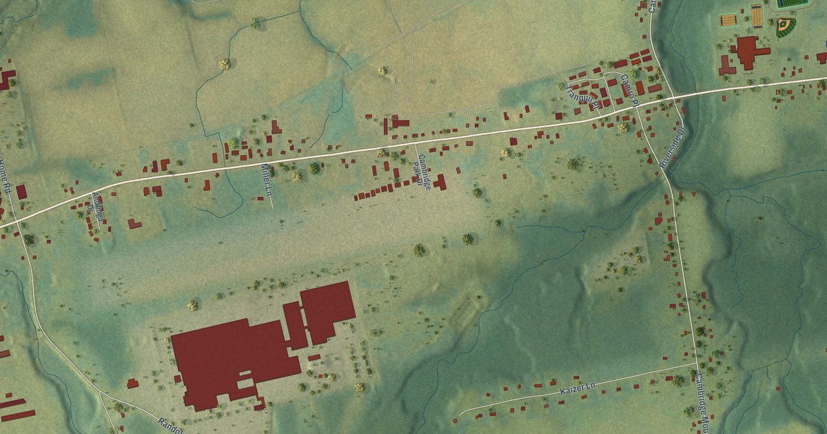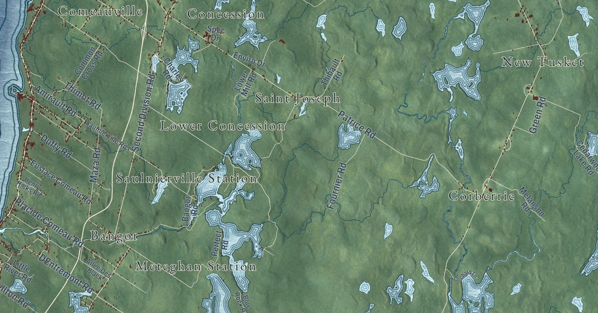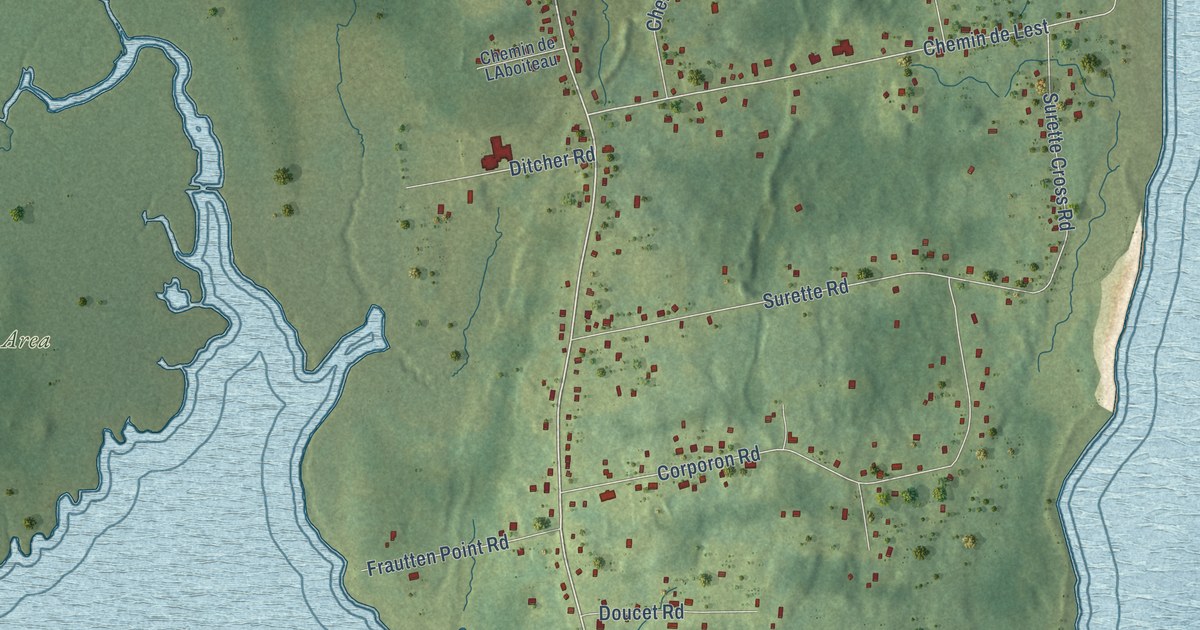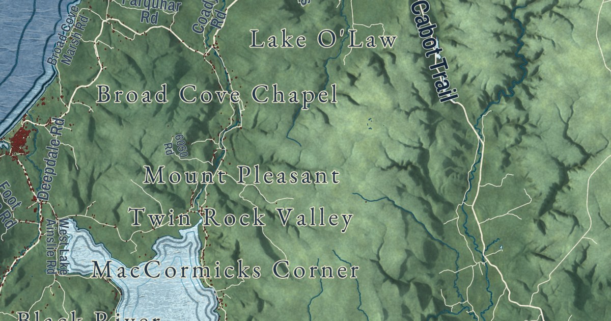
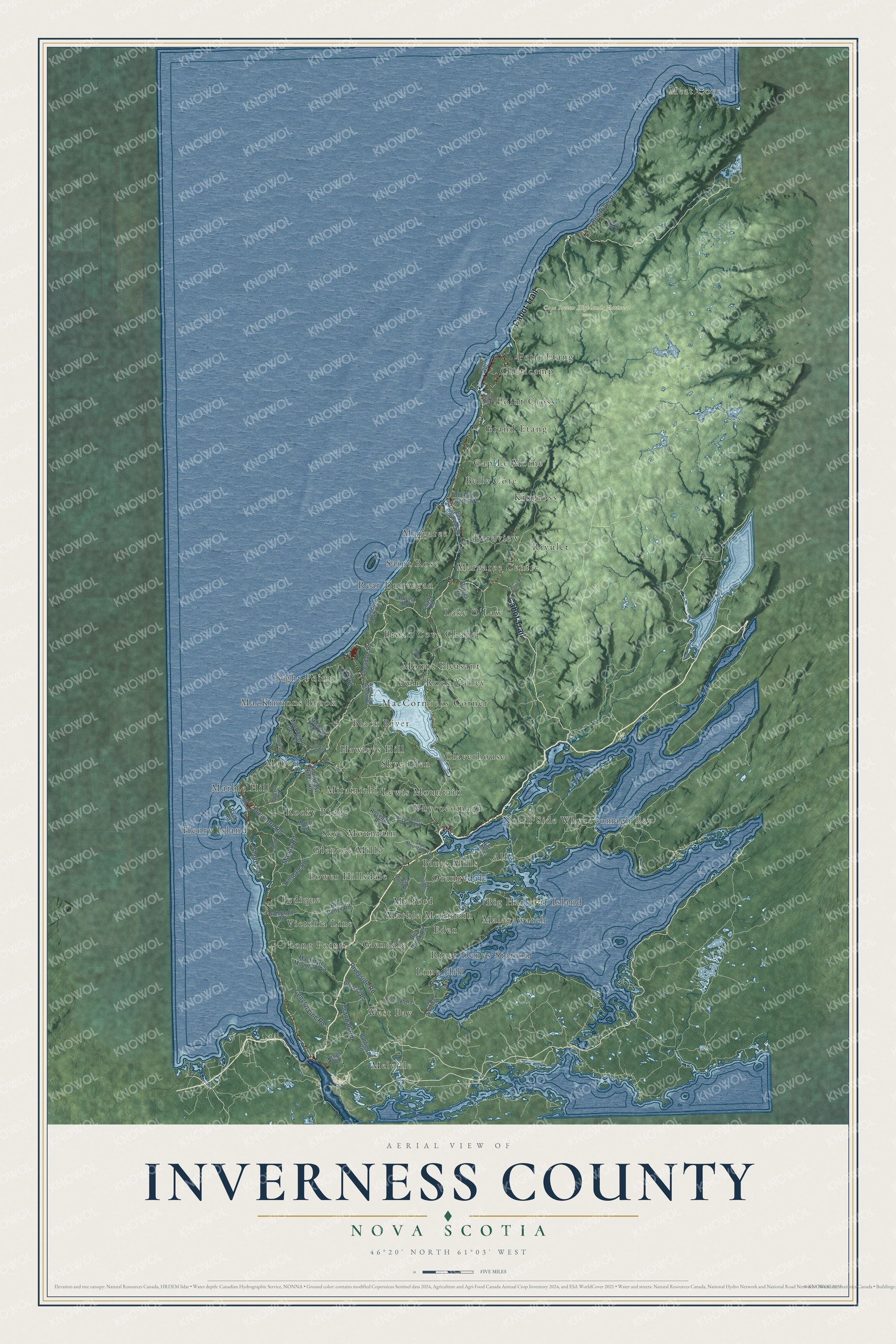
This beautifully detailed map of Inverness County, Nova Scotia was created in 2026 using aerial imagery combined with modern topographical, census, street and landmark data. It’s a one-of-a-kind view of Inverness County that combines accurate data with a vintage aesthetic. The map shows every building in its true location, many of the roads carry their names, and the shaded topographic relief shows the shape of the land.
Explore an aerial view of Inverness County, Nova Scotia
On the map you’ll find Meat Cove, Cape Breton Highlands National Park, Broad Cove Chapel, Malagawatch, Cap Le Moine, Henry Island, Hawleys Hill, Lake O’Law, West Bay, Chéticamp, Lewis Mountain, Melford, and more. If you look closely you can even find your house accurately drawn in its correct location. Zoom in on the preview to look for yours.
Take a closer look at the Inverness County map
Names on this map
These names are printed on this map.
Places: Meat Cove, Cape Breton Highlands National Park, Broad Cove Chapel, Malagawatch, Cap Le Moine, Henry Island, Hawleys Hill, Lake O'Law, West Bay, Chéticamp, Lewis Mountain, Melford, Long Point, Rocky Ridge, MacCormicks Corner, Skye Mountain, Rivulet, Rear Dunvegan, Glendale, Twin Rock Valley, Alba, Lower Hillsdale, Mount Pleasant, Lime Hill, Skye Glen, Kingross, Glencoe Mills, Eden, Belle Côte, Grand Étang, Sight Point, Judique, Orangedale, MacKinnons Brook, Miramichi, Point Cross, Margaree Centre, Whycocomagh, Claverhouse, Black River, Melville, Big Harbour Island, Victoria Line, River Denys Station, Margaree, Marble Mountain, Petit Étang, Saint Rose, Fordview, Blues Mills, North Side Whycocomagh Bay, Marble Hill and Mabou.
Streets and roads: Cabot Trail, Riverside Road, Mabou Road, Crandall Road, Shore Road, Dunmore Road, General Line Road, Red River Road, Big Brook Road, Portage Road, East Margaree Road, River Denys Road.
More street names, A to Z
6050 Road, Ashfield Road, Back Road, Barberton Road, Beaton Road, Big Marsh Road, Broad Cove Marsh Road, Campbell Road, Cenotaph Road, Coady Road, Deepdale Road, Doyles Road, Egypt Road, Farquhar Road, Foot Cape Road, Glenora Falls Road, Glenora Road, Hillsdale Road, Hinkley Glen Road, Hunters Road, Island Light Road, Kings Road, Lefort Road, MacDonald Glen Road, MacIntyre Mountain Road, Main Street, Marble Mountain Road, Moran Road, Mountain Road, Northeast Mabou Road, Old Belle Cote Road, Rosedale Road, Skye Mountain Road, Southwest Ridge Road, West Lake Ainslie Road, Whycocomagh Port Hood Road.
See it on a wall
The Inverness County map as an 18 x 24 inch print in a black frame.

This beautifully detailed map of Inverness County makes an attractive addition to your office, library, or den, and it can even be used to teach children the geography and history of the area. It also makes a great gift for anyone who grew up in Inverness County or moved away. When you’re done exploring, click here to get your copy of the Inverness County map.