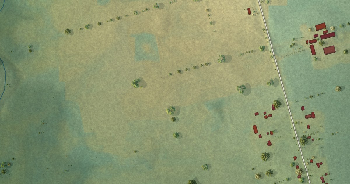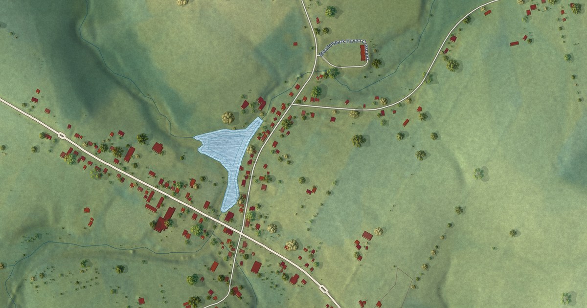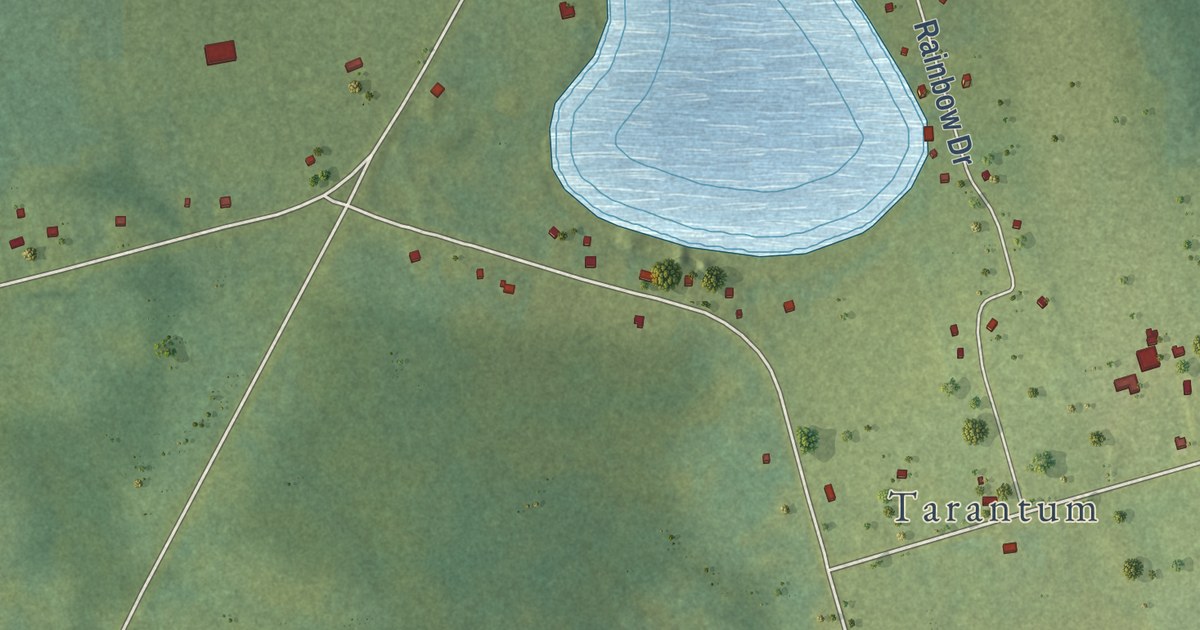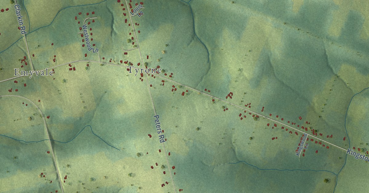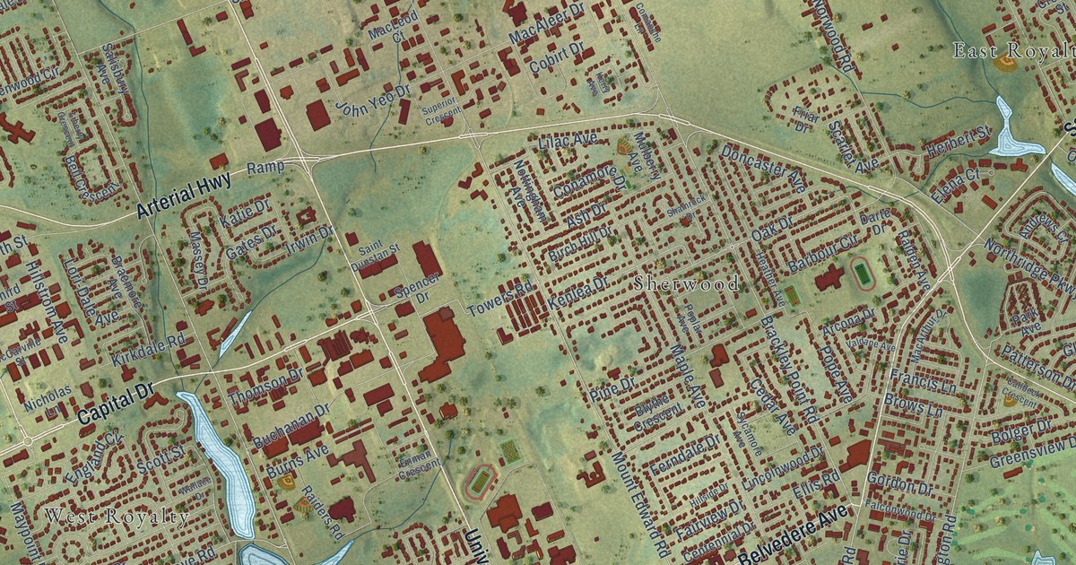
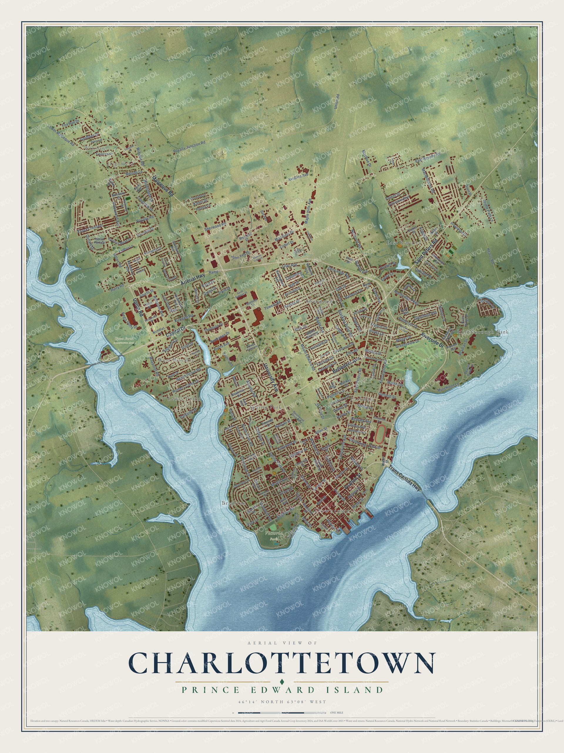
This beautifully detailed map of Charlottetown, Prince Edward Island was created in 2026 using aerial imagery combined with modern topographical, census, street and landmark data. It’s a one-of-a-kind view of Charlottetown that combines accurate data with a vintage aesthetic. The map shows every building in its true location, many of the roads carry their names, and the shaded topographic relief shows the shape of the land.
Explore an aerial view of Charlottetown, Prince Edward Island
On the map you’ll find Downtown, Winsloe, Highfield, Upton Farm Conservation Area, Victoria Park, East Royalty, Parkdale, Sherwood, Hillsborough Park, Spring Park, Lewis Point, West Royalty, and more. If you look closely you can even find your house accurately drawn in its correct location. Zoom in on the preview to look for yours.
Take a closer look at the Charlottetown map
Names on this map
These names are printed on this map.
Places: Downtown, Winsloe, Highfield, Upton Farm Conservation Area, Victoria Park, East Royalty, Parkdale, Sherwood, Hillsborough Park, Spring Park, Lewis Point, West Royalty and Brighton.
Streets and roads: Arterial Highway, Riverside Drive, Capital Drive, Trans Canada Highway, Grafton Street, Saint Peters Road, University Avenue, Belvedere Avenue, Malpeque Road, Upton Road, Mount Edward Road, North River Road.
More street names, A to Z
Acadian Drive, Admiral Street, Alderwood Avenue, Allen Street, Andrews Court, Angus Drive, Arcona Drive, Ash Drive, Atlantic Road, Aviation Avenue, Barbour Circle, Barrymore Court, Beach Grove Road, Beasley Avenue, Beer Street, Belgrave Drive, Bell Crescent, Belmont Street, Birch Hill Drive, Blythe Crescent, Bolger Drive, Bonnie Blink Drive, Brackley Point Road, Braemore Avenue, Bridle Path Lane, Brighton Road, Brittany Drive, Brookdale Drive, Brows Lane, Buchanan Drive, Burns Avenue, Callbeck Crescent, Campbell Road, Cedar Avenue, Centennial Drive, Charlotte Drive, Cobirt Drive, Colonel Gray Drive, Comanche Lane, Conamore Drive, Confederation Street, Connolly Street, Croker Street, Darte Drive, Day Avenue, Deacon Grove Lane, Desbrisay Crescent, Doiron Drive, Donald Drive, Doncaster Avenue, Dunkirk Street, East Royalty Road, Edinburgh Drive, Edward Street, Elena Court, Ellis Road, Emerald Drive, Enderis Lane, England Circle, Enman Crescent, Essex Crescent, Euston Street, Exhibition Drive, Fairview Drive, Falconwood Drive, Ferndale Drive, Fitzroy Street, Fourth Street, Fox Run Drive, Francis Lane, Friar Drive, Gardiner Drive, Garfield Street, Gates Drive, Gerald Street, Glenthorn Avenue, Goodwill Avenue, Gordon Drive, Gower Street, Grant Street, Green Street, Greensview Drive, Greenwood Drive, Harley Street, Haviland Street, Hawthorne Avenue, Heartz Road, Heather Avenue, Herbert Street, High Street, Hillside Drive, Hillstrom Avenue, Horseshoe Boulevard, Hunt Avenue, Hunter Lane, Hunters Creek Drive, Hurry Road, Inkerman Drive, Irwin Drive, Johnson Avenue, John Yeo Drive, Karen Drive, Katie Drive, Kenlea Drive, Kensington Road, Kent Street, Kenwood Circle, Kerry Avenue, King Street, Kirkdale Road, Kirkwood Drive, Laurie Drive, Liberty Crescent, Lilac Avenue, Lily Pond Drive, Lincolnwood Drive, Linden Avenue, Longview Drive, Longworth Avenue, Lori-Dale Avenue, Lower Malpeque Road, Lyne Avenue, MacAleer Drive, MacArthur Drive, MacKay Drive, MacLeod Court, MacRae Drive, MacWilliams Road, Maple Avenue, Maple Hills Avenue, Mariner Drive, Massey Drive, Maypoint Road, McCarville Street, McGill Avenue, Melody Lane, Miller Street, Moreau Drive, Mulberry Avenue, Murchison Lane, Mutch Crescent, Nash Drive, Nassau Street, Newland Crescent, Nicholas Lane, Northridge Parkway, Norwood Road, Nottingham Avenue, Oak Drive, Oakland Drive, Orlebar Street, Palmers Lane, Parent Street, Park Avenue, Parkside Drive, Park Street, Parkway Drive, Parkwood Crescent, Parricus Mead Drive, Patterson Drive, Penny Lane, Pine Drive, Pioneer Avenue, Pope Avenue, Poplar Avenue, Pownal Street, Prince Street, Queen Street, Raiders Road, Ralden Avenue, Ramp, Raspberry Avenue, Ravenwood Drive West, Regis Duffy Drive, River Ridge Drive, Robertson Road, Rochford Street, Rosemount Drive, Royalty Junction Road, Royalty Road, Saint Dunstan Street, Salisbury Avenue, Scarlet Avenue, Scott Street, Shamrock Drive, Sherwood Road, Sidmount Avenue, Skyline Drive, Spencer Drive, Spring Lane, Spring Park Road, Spring Street, Summer Street, Sunset Drive, Superior Crescent, Sycamore Avenue, Sydney Street, Taylor Street, Terry Fox Drive, Third Street, Thomson Drive, Thorndale Drive, Towers Road, Trafalgar Street, Trailview Drive, Union Road, Upper Prince Street, Upton Park Drive, Valdane Avenue, Victoria Park Roadway, Villa Avenue, Vista Street, Walker Drive, Wallace Drive, Walthen Drive, Water Street, West Street, Westview Drive, Westway Drive, Windymere Drive, Winsloe Road, York Lane, Young Street.
See it on a wall
The Charlottetown map as an 18 x 24 inch print in a black frame.

This beautifully detailed map of Charlottetown makes an attractive addition to your office, library, or den, and it can even be used to teach children the geography and history of the area. It also makes a great gift for anyone who grew up in Charlottetown or moved away. When you’re done exploring, click here to get your copy of the Charlottetown map.