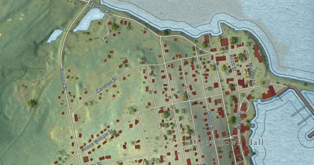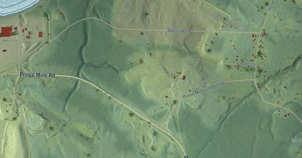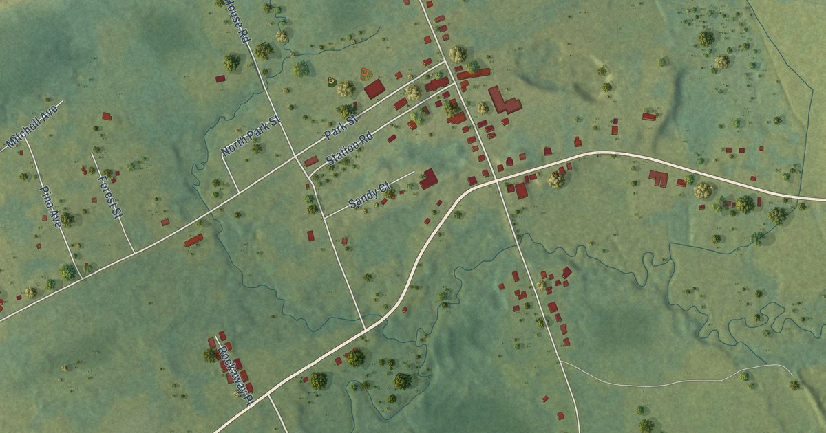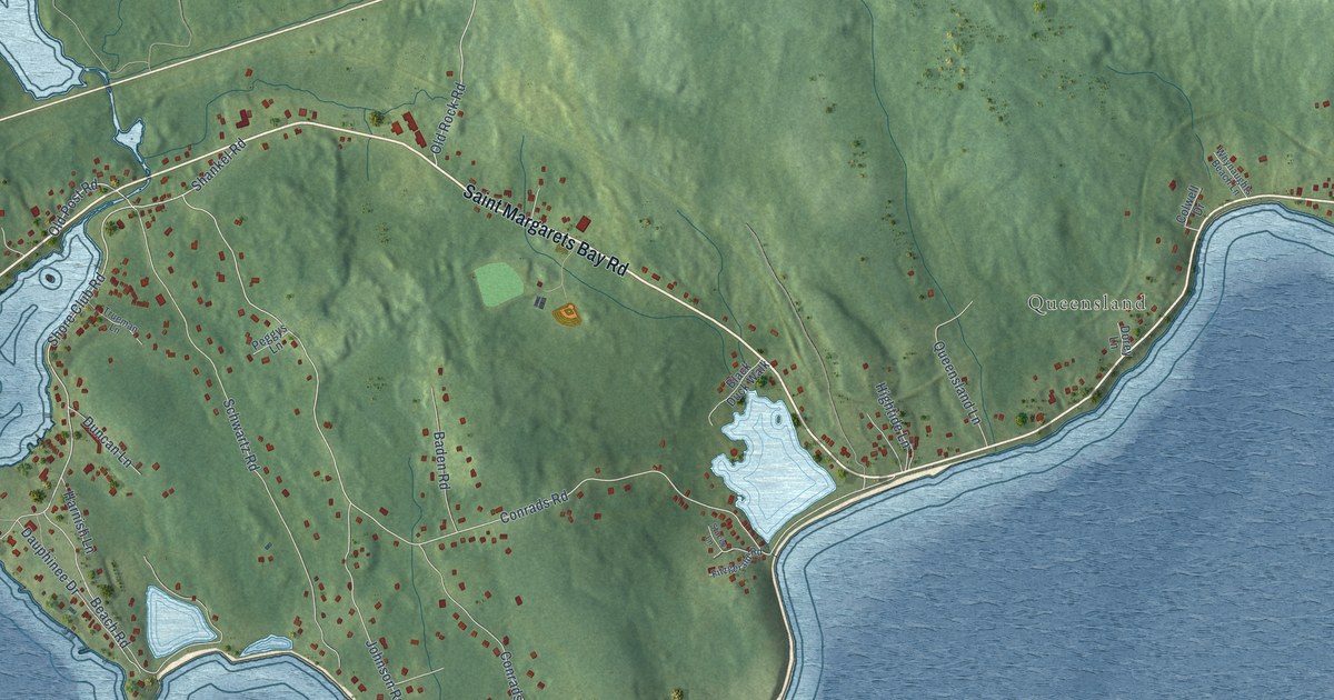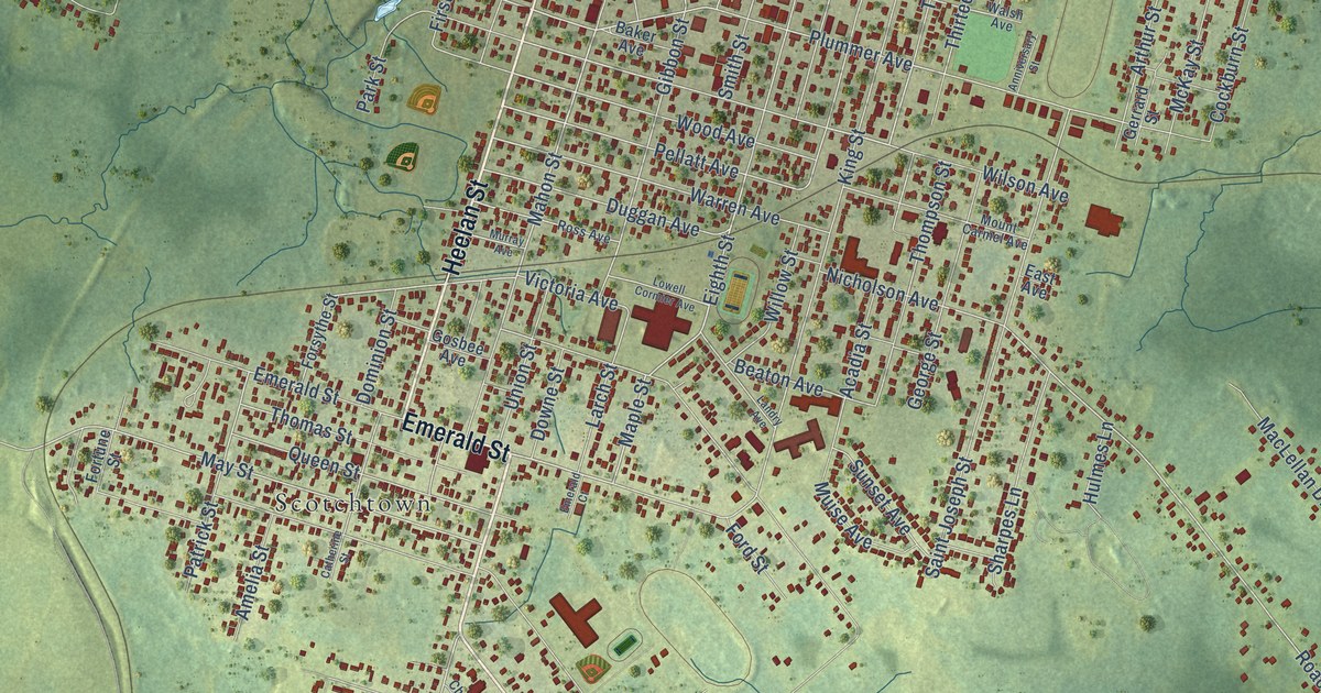
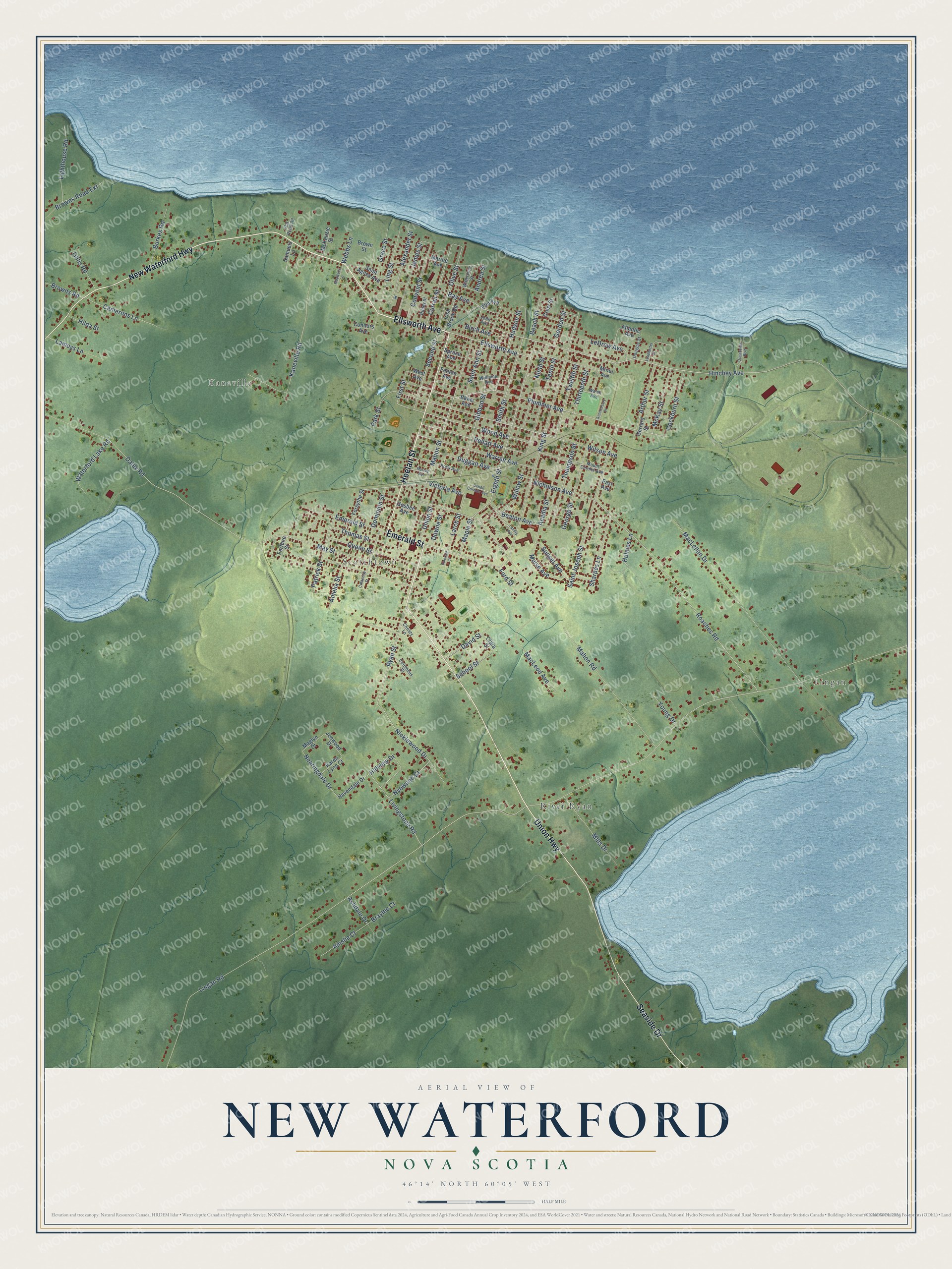
This beautifully detailed map of New Waterford, Nova Scotia was created in 2026 using aerial imagery combined with modern topographical, census, street and landmark data. It’s a one-of-a-kind view of New Waterford that combines accurate data with a vintage aesthetic. The map shows every building in its true location, many of the roads carry their names, and the shaded topographic relief shows the shape of the land.
Explore an aerial view of New Waterford, Nova Scotia
On the map you’ll find Lingan, River Ryan, Kaneville, and Scotchtown, along with Union Highway, Ellsworth Avenue, Heelan Street, New Waterford Highway, Emerald Street, Seaside Drive, Mahon Street, Wilson Avenue, and more. If you look closely you can even find your house accurately drawn in its correct location. Zoom in on the preview to look for yours.
Take a closer look at the New Waterford map
Names on this map
These names are printed on this map.
Places: Lingan, River Ryan, Kaneville and Scotchtown.
Streets and roads: Union Highway, Ellsworth Avenue, Heelan Street, New Waterford Highway, Emerald Street, Seaside Drive, Mahon Street, Wilson Avenue, Eighth Street, Hinchey Avenue, Hudson Street, Wood Avenue.
More street names, A to Z
Acadia Street, Ainslie Court, Alexander Street, Amelia Street, Andrea Street, Anniversary Street, Arthur Street, Ashdale Drive, Atlantic Avenue, Baker Avenue, Bay Avenue, Beach Street, Beaton Avenue, Birch Avenue, Braylee Court, Browns Road, Browns Road Extension, Brown Street, Burkes Road, Camerons Lane, Catherine Street, Christy Lane, Clara Street, Cockburn Street, Columbus Street, Connors Avenue, Convent Street, Crest Street, Curran Street, Daley Road, David Street, Dominion Street, Douglas Street, Downe Street, Duggan Avenue, East Avenue, Elm Avenue, Emerald Court, Fenton Avenue, First Street, Flat Point Road, Ford Street, Forsythe Street, Fortune Street, George Street, Gerrard Street, Gibbon Street, Gillis Road, Gordon Street, Gosbee Avenue, Grace Street, Havendale Drive, Hilda Street, Hillview Drive, Hulmes Lane, Irish Brook Road, James Street, Jenwood Drive, John Avenue, Kaneville Road, Karen Lynn Court, King Street, Lameys Lane, Landry Avenue, Larch Street, Leadbetter Street, LeDrew Avenue, Lighthouse Road, Lingan Road, Ling Street, Livingstone Road, Lowell Cormier Avenue, MacLellan Drive, MacLeod Avenue, MacNeils Lane, Maglyn Drive, Mahon Road, Maple Street, Marine Avenue, May Street, McKay Street, McKenzie Street, Mills Drive, Miner Avenue, Mount Carmel Avenue, Muise Avenue, Murray Avenue, Nearingdale Drive, Nicholson Avenue, Nicklewood Drive, Ninth Street, Nyewood Court, Oceanview Boulevard, Olive Street, Park Street, Patrick Street, Pellatt Avenue, Plummer Avenue, Queen Street, Ripley Street, Roaches Road, Ross Avenue, Ryan Street, Saint Agnes Avenue, Saint Ann Street, Saint Joseph Street, Samuels Lane, School Street, Second Street, Sharpes Lane, Smith Street, Spruce Avenue, Sunset Avenue, Tenth Street, Thirteenth Street, Thomas Street, Thompson Street, Twelfth Street, Union Street, Victoria Avenue, Walsh Avenue, Warren Avenue, Waterford Lake Road, Waterview Street, Webbs Lane, West Avenue, Williams Avenue, Willow Street, Young Drive.
See it on a wall
The New Waterford map as an 18 x 24 inch print in a black frame.

This beautifully detailed map of New Waterford makes an attractive addition to your office, library, or den, and it can even be used to teach children the geography and history of the area. It also makes a great gift for anyone with New Waterford roots. When you’re done exploring, click here to get your copy of the New Waterford map.