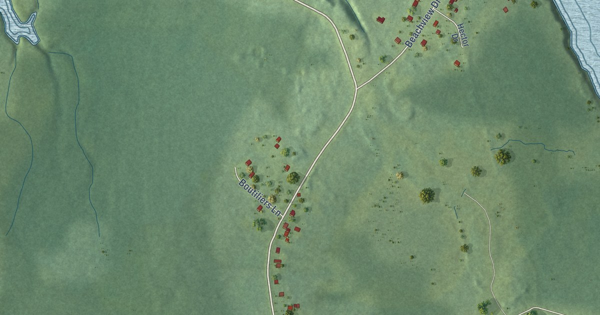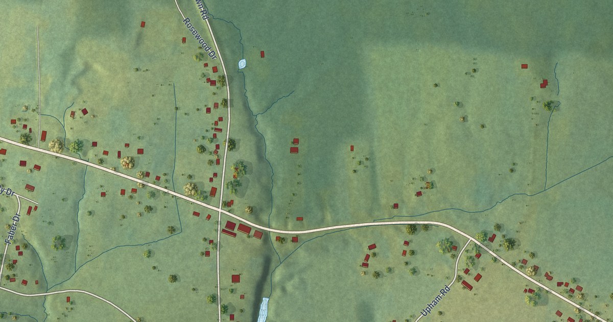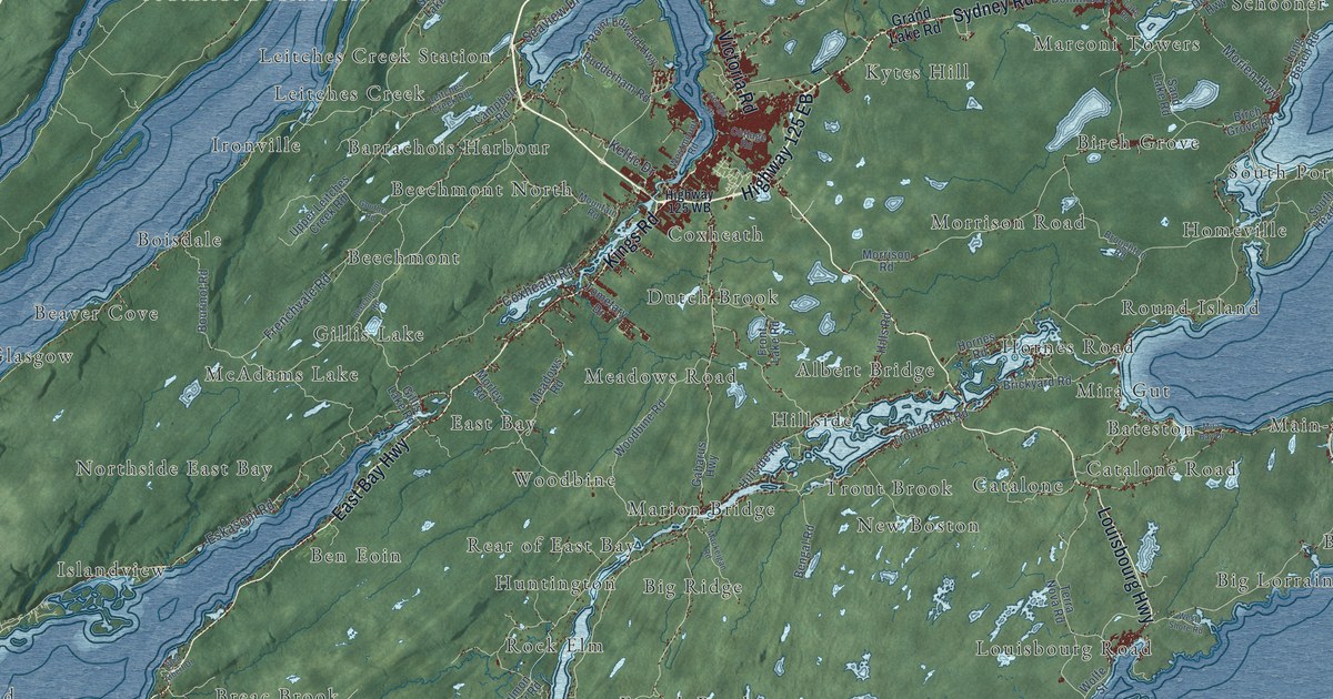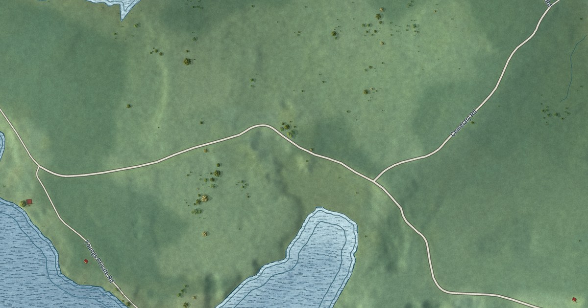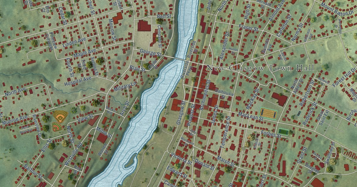
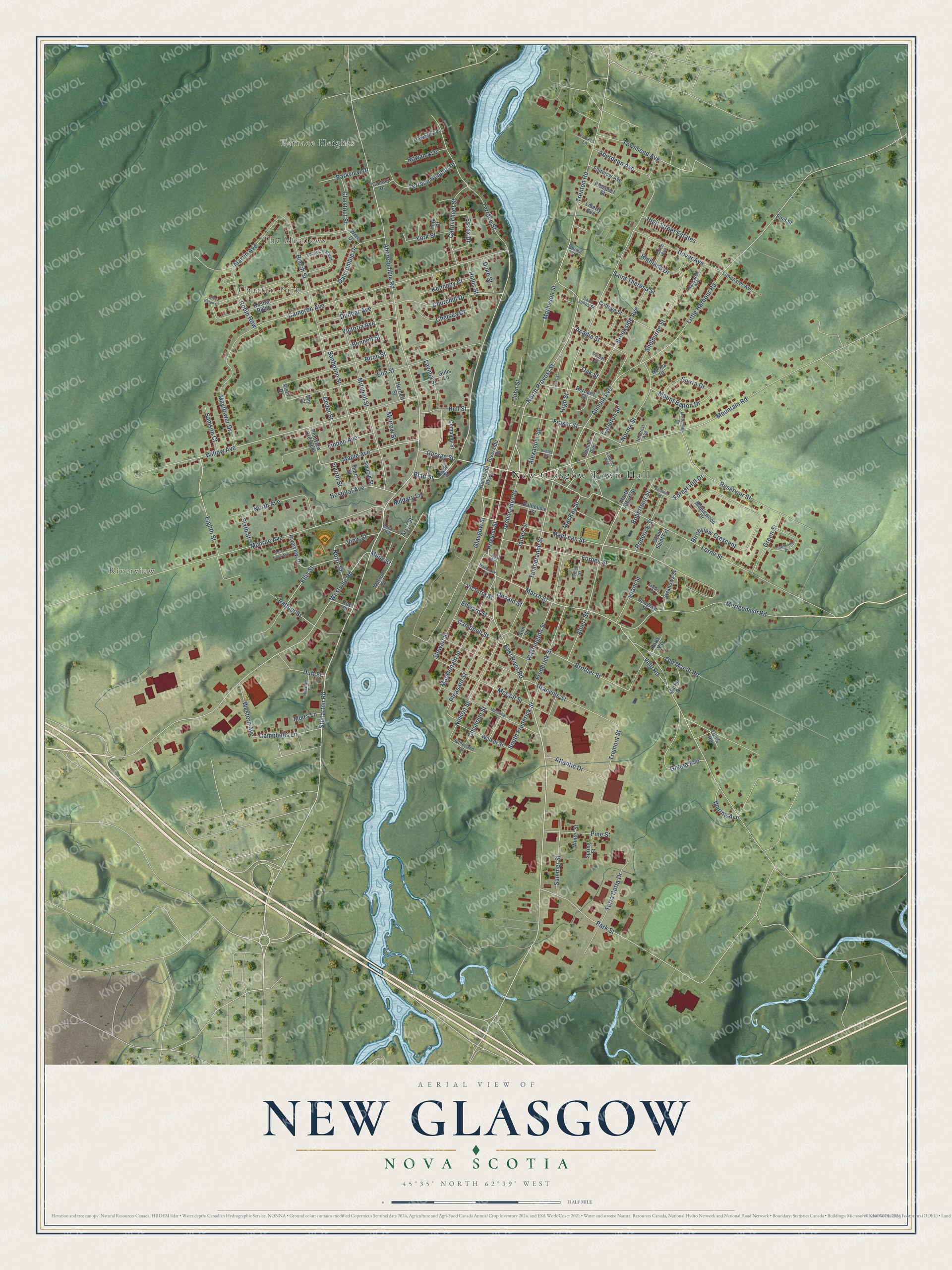
This beautifully detailed map of New Glasgow, Nova Scotia was created in 2026 using aerial imagery combined with modern topographical, census, street and landmark data. It’s a one-of-a-kind view of New Glasgow that combines accurate data with a vintage aesthetic. The map shows every building in its true location, many of the roads carry their names, and the shaded topographic relief shows the shape of the land.
Explore an aerial view of New Glasgow, Nova Scotia
On the map you’ll find New Glasgow Town Hall, Terrace Heights, The Meadows, Riverview, and Chattan Park, along with Stellarton Road, George Street, Blair Street, Abercrombie Road, North Provost Street, Archimedes Street, MacLean Street, and more. If you look closely you can even find your house accurately drawn in its correct location. Zoom in on the preview to look for yours.
Take a closer look at the New Glasgow map
Names on this map
These names are printed on this map.
Places: New Glasgow Town Hall, Terrace Heights, The Meadows, Riverview and Chattan Park.
Streets and roads: Stellarton Road, George Street, Blair Street, Abercrombie Road, North Provost Street, Archimedes Street, MacLean Street, East River Road, Provost Street, Mountain Road, Trenton Road, Acadia Street.
More street names, A to Z
Aberdeen Avenue, Albert Street, Alexander Street, Almont Avenue, Ann Street, Arch Street, Atlantic Drive, Balfour Street, Beck's Hill, Beech Street, Bell Street, Belmont Street, Bennett Street, Bernard Street, Birch Street, Birchview Crescent, Blue Heron Drive, Brookside Avenue, Brother Street, Cameron Avenue, Campbells Lane, Campbell Street, Canary Drive, Carleton Street, Carmichael Street, Cedar Street, Chelsea Court, Chestnut Street, Chisholm Street, Churchill Drive, Clyde Street, Company Street, Cottage Street, Dalcrombie Drive, Dalhousie Street, Donald Street, Douglas Street, Dover Avenue, Duff Street, Duke Street, Dunbar Avenue, Edward Street, Eighth Street, Ellis Street, Elm Court, Elm Street, Enid Street, Essex Drive, Fairview Avenue, Forbes Street, Forest Hill Drive, Fourth Street, Frasers Lane, Fraser Street, Frederick Street, Ghana Avenue, Gillis Lane, Glasgow Street, Grant Saint Extension, Grant Street, Granville Street, Green Street, Hawthorne Drive, Herbert Street, Highland Drive, High Street, High Street Estates, Hillcrest Avenue, Hillside Street, Hollis Street, Hospital Avenue, Howard Avenue, Hunter Street, James Street, John Street, Jury Street, Kennedy Court, Kestral Ridge, Lancaster Avenue, Laurier Avenue, Lavinia Street, Liberty Avenue, Linden Avenue, Little Harbour Road, Lorne Street, Louis Road, Lovat Crescent, MacDonald Street, MacGregor Street, MacIntosh Street, MacKay Street, MacLaren Avenue, Maple Avenue, Maplewood Drive, Marsh Street, Martin Avenue, Martin Drive, Matheson Street, Matterhorn Drive, Mayflower Drive, McColl Street, Merigomish Road, Military Lane, Milne Street, Mitchell Street, Morrow Street, Mount Batton Drive, Muirs Lane, Munroe Avenue, Nelson Street, Norma Court, Norma Street, North Albert Street, North Avenue, North Street, Oak Street, OBrien Street, Old Marsh Road, Orion Avenue, Paris Way, Park Street, Parkview Drive, Pine Street, Pineview Crescent, Pleasant Street, Poplar Street, Prince Street, Prospect Street, Reservoir Street, Riverside Parkway, Riverside Street, Riverview Drive, Robertson Street, Robin Row, Roderick Street, Ross Street, Rowan Avenue, Roy Street, Saint Johns Street, Saint Theresa Street, Samson Court, Sanborne Street, Second Street, Shelburne Street, Sierra Drive, Sixth Street, Skylark Street, South Frederick Street, Spring Street, Stewart Street, Summer Street, Summit Avenue, Sutherland Street, Swallows Street, Temperance Street, Terrace Heights Drive, Terrace Street, Terra Cotta Drive, Terra Nova Avenue, Third Street, Townsend Avenue, Tremont Street, Vale Road, Victoria Avenue, Victoria Street, View Street, Vista Drive, Walker Street, Waring Avenue, Warren Street, Washington Street, Western Avenue, Westville Road, Willow Avenue, Winter Street, Wren Drive, York Court, York Street.
See it on a wall
The New Glasgow map as an 18 x 24 inch print in a black frame.

This beautifully detailed map of New Glasgow makes an attractive addition to your office, library, or den, and it can even be used to teach children the geography and history of the area. It also makes a great gift for someone who left New Glasgow and still calls it home. When you’re done exploring, click here to get your copy of the New Glasgow map.