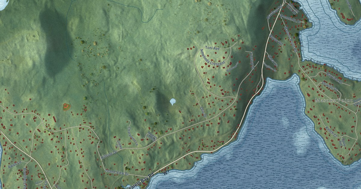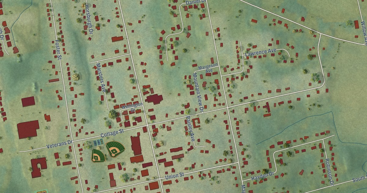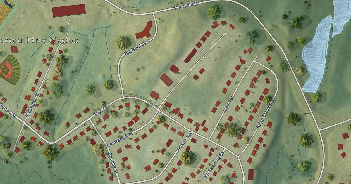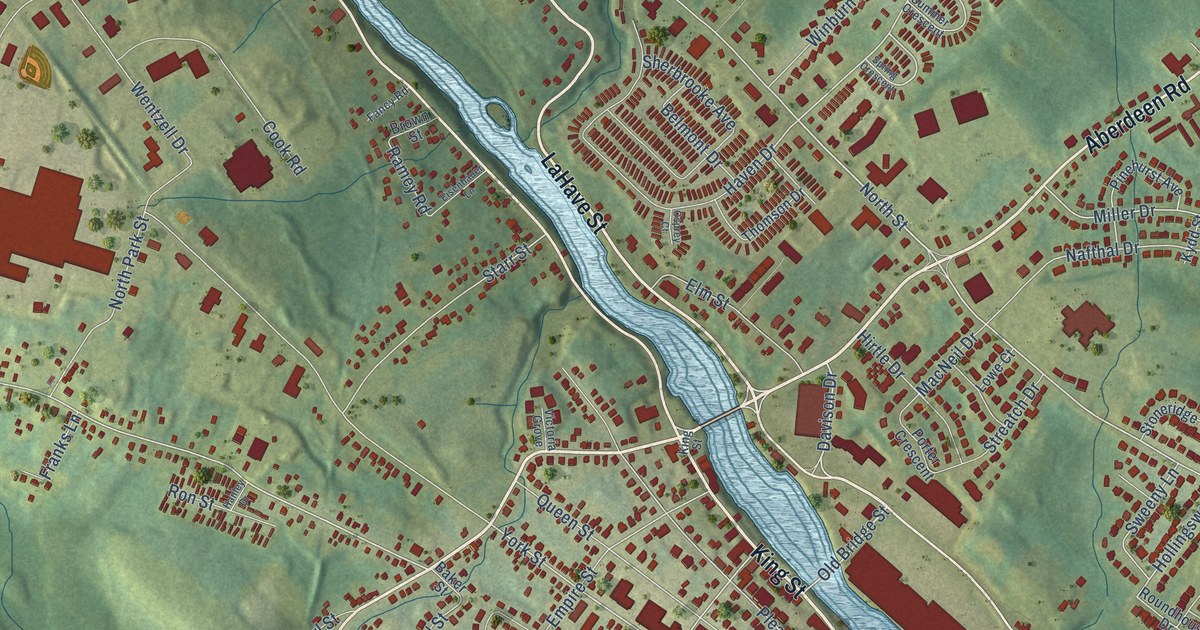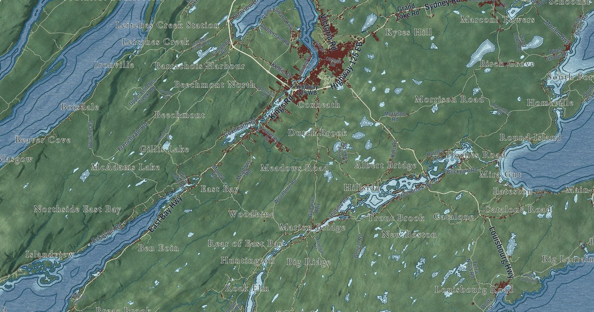
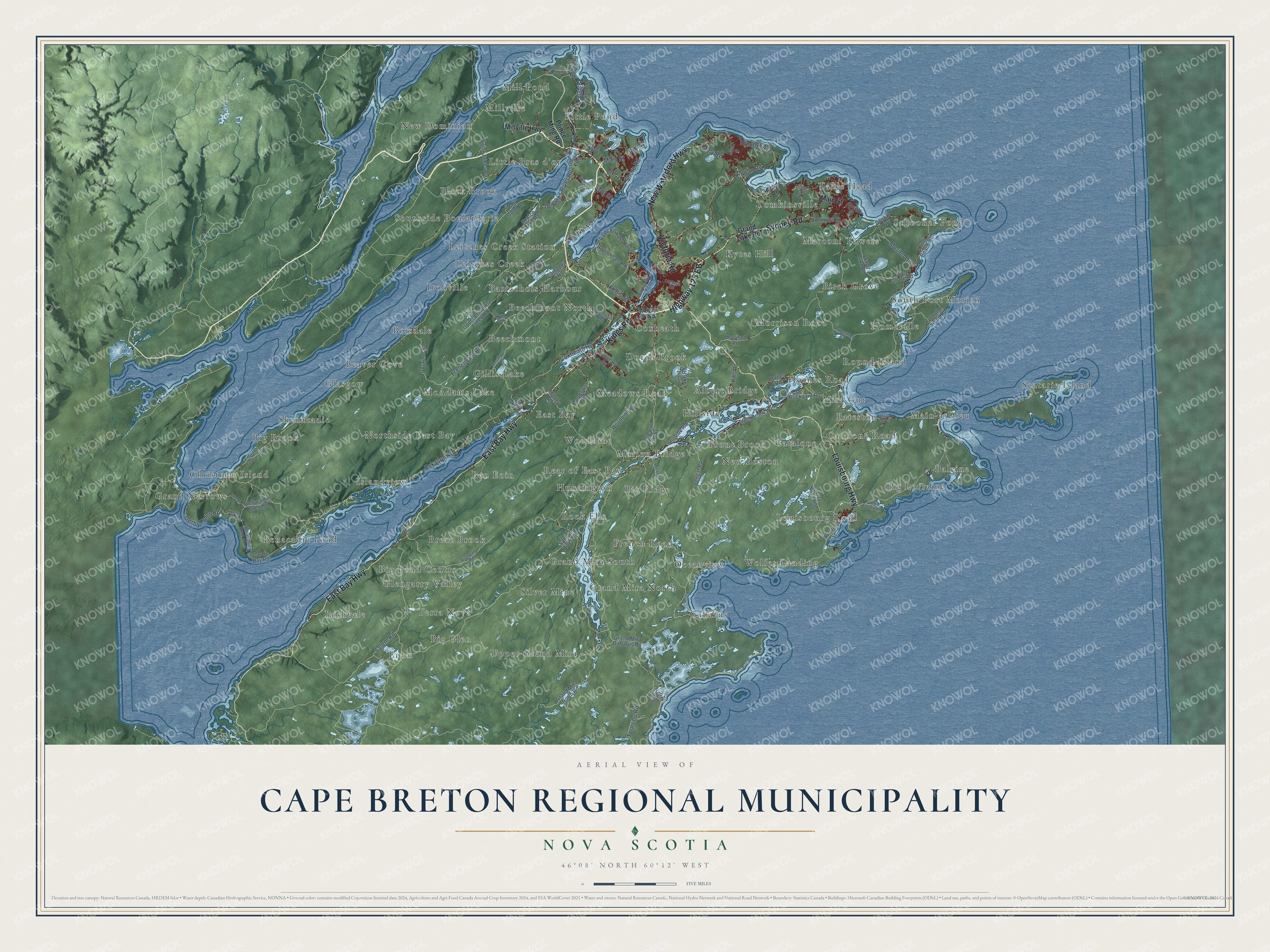
This beautifully detailed map of Cape Breton Regional Municipality, Nova Scotia was created in 2026 using aerial imagery combined with modern topographical, census, street and landmark data. It’s a one-of-a-kind view of Cape Breton Regional Municipality that combines accurate data with a vintage aesthetic. The map shows every building in its true location, many of the roads carry their names, and the shaded topographic relief shows the shape of the land.
Explore an aerial view of Cape Breton Regional Municipality, Nova Scotia
On the map you’ll find Irishvale, Gabarus, Scatarie Island, Glasgow, Big Lorraine, Table Head, Silver Mine, Southside Boularderie, Round Island, Christmas Island, and Rock Elm, along with Meadows Road, and more. If you look closely you can even find your house accurately drawn in its correct location. Zoom in on the preview to look for yours.
Take a closer look at the Cape Breton Regional Municipality map
Names on this map
These names are printed on this map.
Places: Irishvale, Gabarus, Scatarie Island, Glasgow, Big Lorraine, Table Head, Meadows Road, Silver Mine, Southside Boularderie, Round Island, Christmas Island, Rock Elm, Wolfes Landing, New Dominion, Boisdale, Hornes Road, Baleine, Islandview, Big Glen, South Port Morien, Dutch Brook, Big Ridge, New Boston, Tomkinsville, Northside East Bay, Beechmont North, Big Brook, Ironville, Big Pond Centre, Kytes Hill, East Bay, Benacadie Pond, Upper Grand Mira, Leitches Creek Station, French Road, Catalone Road, Grand Mira North, Millville, Birch Grove, Schooner Pond, Morrison Road, Enon, Breac Brook, Main-à-Dieu, Beechmont, Ben Eoin, Woodbine, Grand Narrows, Hillside, Louisbourg Road, McAdams Lake, Little Pond, Black Brook, Coxheath, Mira Gut, Beaver Cove, Marion Bridge, Glengarry Valley, Leitches Creek, Shenacadie, Barrachois Harbour, Mill Pond, Trout Brook, Oceanview, Grand Mira South, Rear of East Bay, Huntington, Homeville, Marconi Towers, Gillis Lake, Bateston, Albert Bridge, Catalone, Terra Nova and Little Bras d'or.
Streets and roads: Highway 125 EB, Kings Road, Sydney Road, Louisbourg Highway, Victoria Road, East Bay Highway, New Waterford Highway, Keltic Drive, Seaview Drive, Lingan Road, Eskasoni Road, Frenchvale Road.
More street names, A to Z
Alder Point Road, Beechmont Road, Belfry Road, Benacadie Glen Road, Benacadie Road West, Bengal Road, Birch Grove Road, Bourinot Road, Brickyard Road, Broughton Road, Campbell Road, Castle Bay Road, Church Road, Cottage Road, Coxheath Road, Daley Road, Derby Point Road, Dominion Street, Donkin Highway, Fourchu Road, Front Lake Road, Gabarus Highway, Georges River Road, George Street, Gillis Lake Road, Glen Albert Drive, Glengary Road, Gouthro Road, Grand Lake Road, Grand Mira Gabarus Road, Grand Mira North Road, Grand Narrows Highway, Highway 125 WB, Hillside Road, Hills Road, Hinchey Avenue, King Street, Lake Road, Leitches Creek Road, Long Beach Road, Long Island Road, Mackeigan Road, Mahon Street, Main Street, Millville Highway, Mira Bay Drive, Morien Highway, Morley Road, Mountain Road, Neville Street, Park Road, Pipers Cove Road, Pitt Street, Point Aconi Road, Point Edward Highway, Prince Mine Road, Rudderham Road, Saint James Road, Salem Road, Salmon River Road, Sand Lake Road, Scotch Lake Road, Seaside Drive, Sheri Lee Lane, Shore Road, South Head Road, South Street, Sunrise Drive, Terra Nova Road, Tobin Road, Tometary Drive, Trout Brook Road, Upper Leitches Creek Road, Westmount Road, West Shore Road, Wolfe Street, Woodbine Road, Woods Road.
See it on a wall
The Cape Breton Regional Municipality map as an 18 x 24 inch print in a black frame.

This beautifully detailed map of Cape Breton Regional Municipality makes an attractive addition to your office, library, or den, and it can even be used to teach children the geography and history of the area. It also makes a great gift for someone who left Cape Breton Regional Municipality and still calls it home. When you’re done exploring, click here to get your copy of the Cape Breton Regional Municipality map.