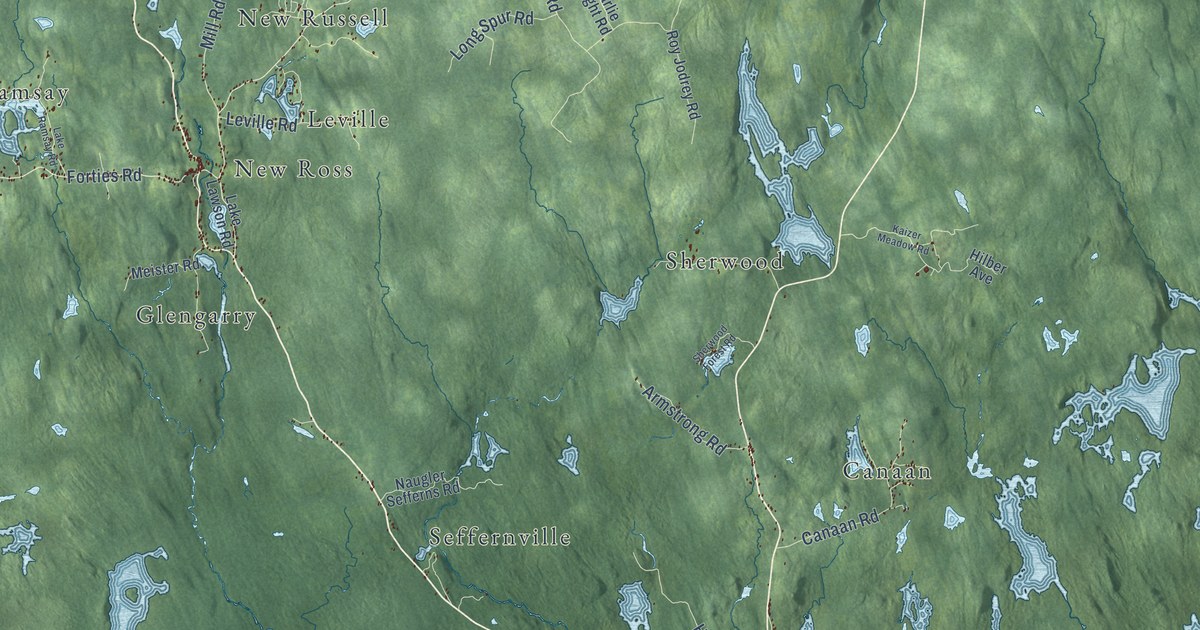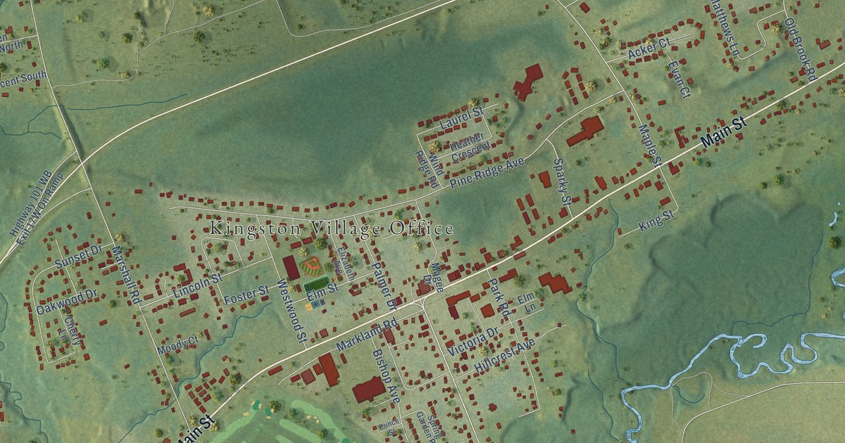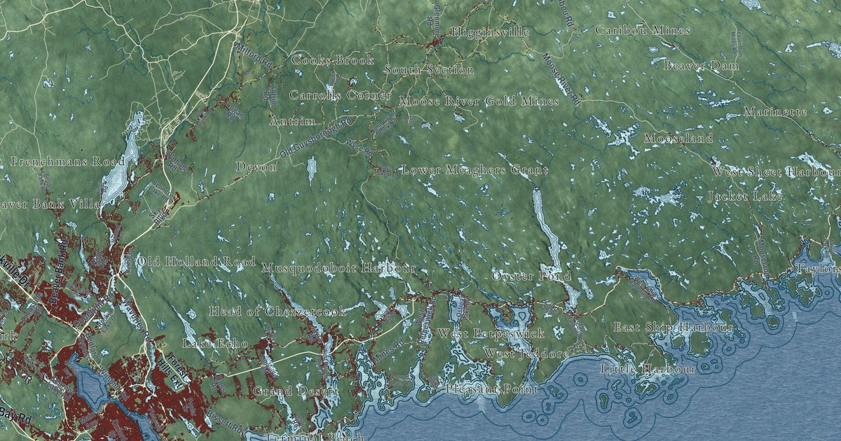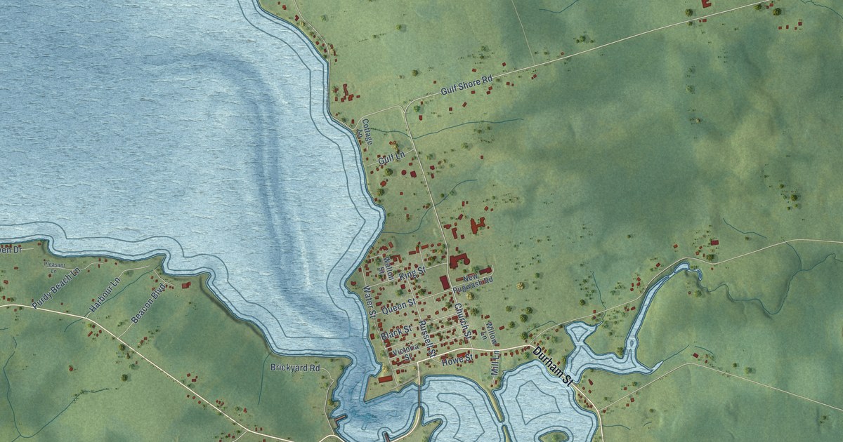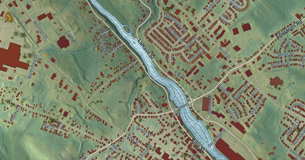
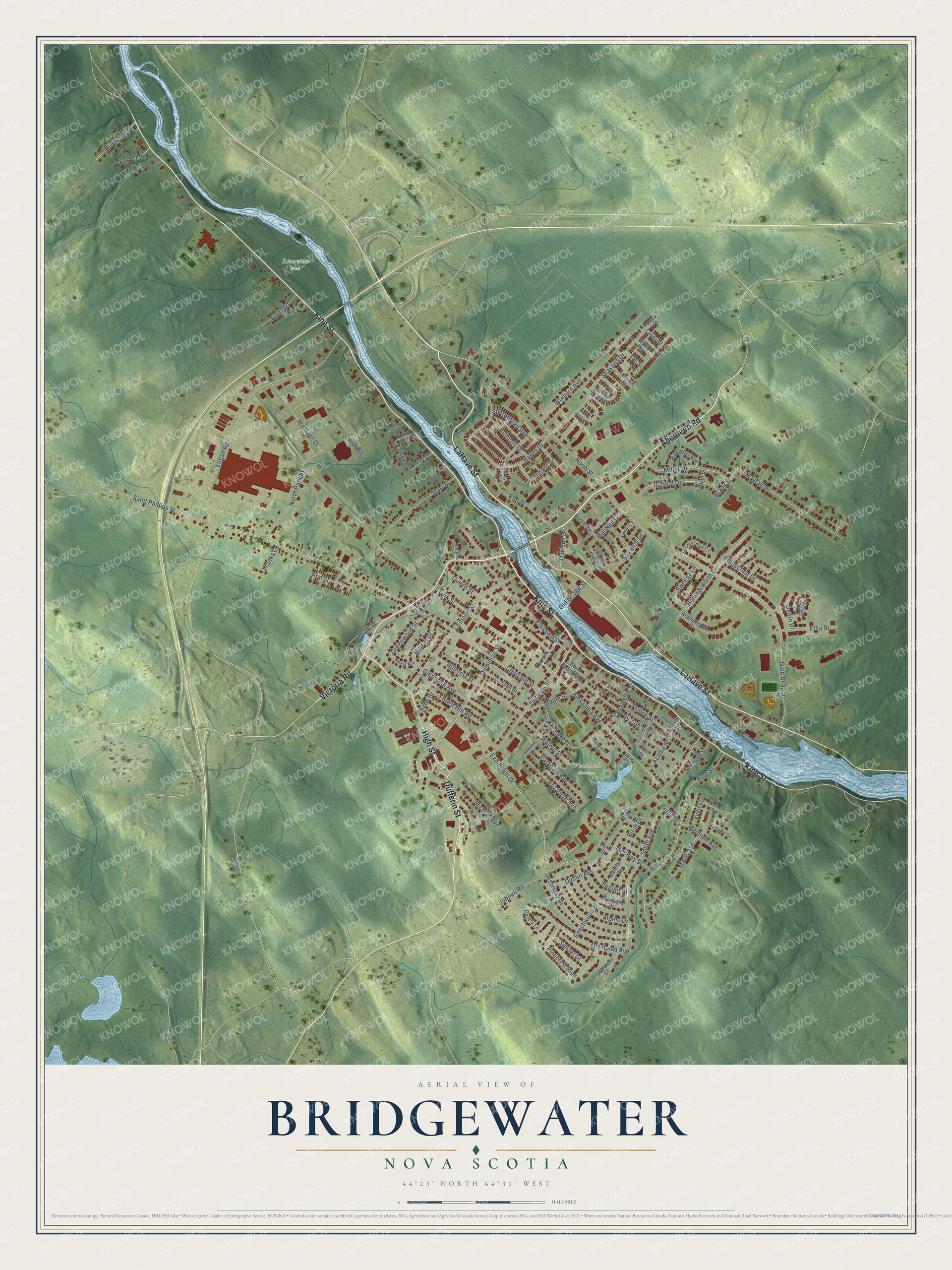
This beautifully detailed map of Bridgewater, Nova Scotia was created in 2026 using aerial imagery combined with modern topographical, census, street and landmark data. It’s a one-of-a-kind view of Bridgewater that combines accurate data with a vintage aesthetic. The map shows every building in its true location, many of the roads carry their names, and the shaded topographic relief shows the shape of the land.
Explore an aerial view of Bridgewater, Nova Scotia
On the map you’ll find Riverview Park and Woodland Gardens, along with King Street, Aberdeen Road, Victoria Road, LaHave Street, High Street, Dufferin Street, Alexandra Avenue, Jubilee Road, North Street, Old Bridge Street, and more. If you look closely you can even find your house accurately drawn in its correct location. Zoom in on the preview to look for yours.
Take a closer look at the Bridgewater map
Names on this map
These names are printed on this map.
Places: Riverview Park and Woodland Gardens.
Streets and roads: King Street, Aberdeen Road, Victoria Road, LaHave Street, High Street, Dufferin Street, Alexandra Avenue, Jubilee Road, North Street, Old Bridge Street, Davison Drive, Brook Street.
More street names, A to Z
Acadia Street, Acorn Drive, Albert Street, Alpine Drive, Anne Street, Audrey Drive, Autumn Street, Baker Street, Beechwood Street, Belmont Drive, Bennett Avenue, Birch Drive, Brady Street, Brown Street, Central Street, Cherry Lane, Christie Street, Churchill Street, Cook Road, Cornwallis Street, Covey Street, Crescent Street, Cresthaven Court, Dawson Street, Desbrisay Drive, Doctor Ernst Court, Dominion Street, Dublin Avenue, Duke Street, Eisenhauer Lane, Elizabeth Avenue, Elm Street, Empire Street, Etna Street, Evergreen Road, Exhibition Drive, Fall Street, Fancy Road, Fern Avenue, Foley Lane, Forest Hill Road, Franks Lane, Glen Allan Drive, Glenridge Avenue, Greenwood Street, Hanley Drive, Haven Drive, Hillcrest Street, Hillside Drive, Hirtle Drive, Hollingsworth Drive, Kydd Street, Logan Road, Lowe Court, MacNeil Drive, Maple Street, Marie Avenue, Marlboro Drive, Mayfair Drive, Medway Street, Meldrum Avenue, Micmac Avenue, Miller Drive, Murray Drive, Nafthal Drive, Nauss Avenue, North Park Street, Oak Street, Oickle Lane, Olympiad Avenue, Osprey Court, Parkdale Avenue, Park Street, Pearl Street, Phoenix Street, Pinecrest Boulevard, Pinehurst Avenue, Pine Street, Pleasant Street, Porter Crescent, Prince Street, Queen Street, Ramey Road, Regent Street, Ridgecrest Drive, Riverview Drive, Ron Street, Ross Court, Roundhouse Drive, Saint Andrews Street, Saint Phillips Street, School Street, Scotia Street, Seasons Drive, Sherbrooke Avenue, Smith Avenue, South Street, Spring Crescent, Starr Street, Stoneridge Court, Streatch Drive, Summer Crescent, Sunset Drive, Sweeny Lane, Thomson Drive, Victoria Grove, Walnut Street, Wentzell Drive, Westmount Heights, Winburn Avenue, Winter Street, York Street.
See it on a wall
The Bridgewater map as an 18 x 24 inch print in a black frame.

This beautifully detailed map of Bridgewater makes an attractive addition to your office, library, or den, and it can even be used to teach children the geography and history of the area. It also makes a great gift for anyone who grew up in Bridgewater or moved away. When you’re done exploring, click here to get your copy of the Bridgewater map.