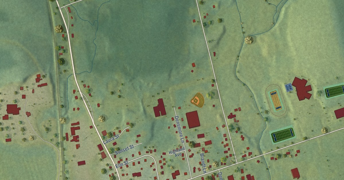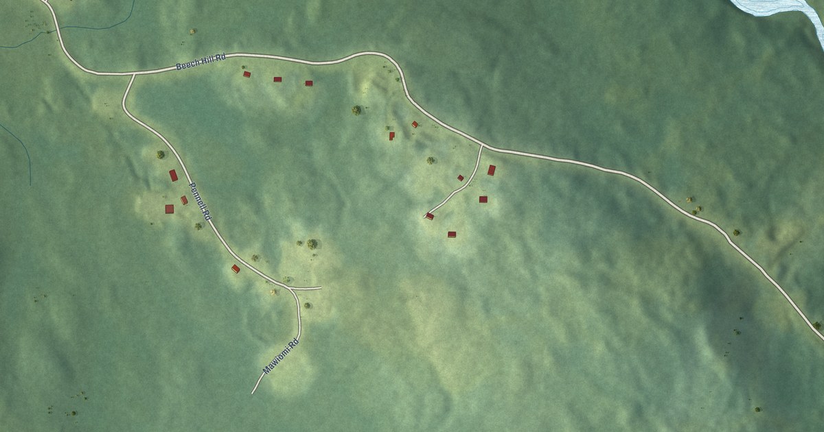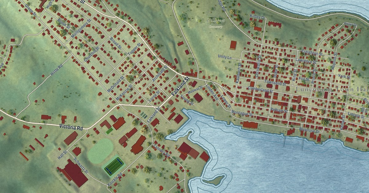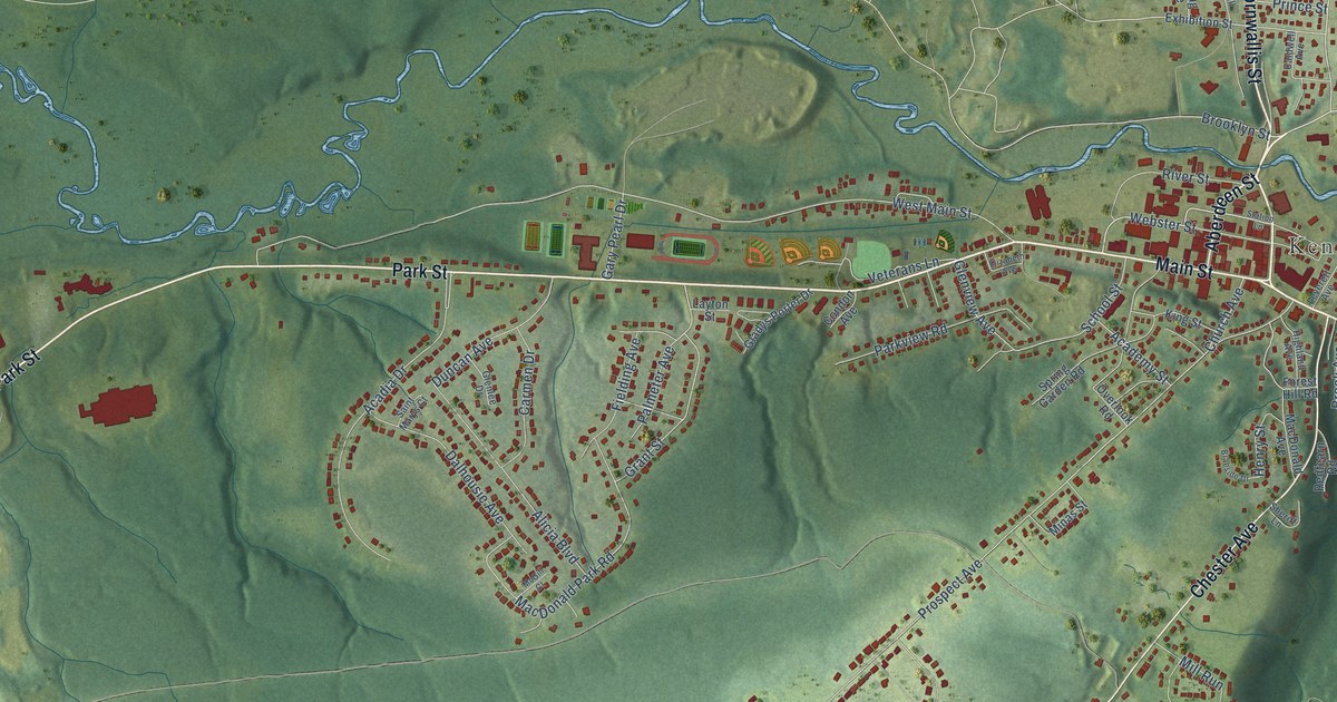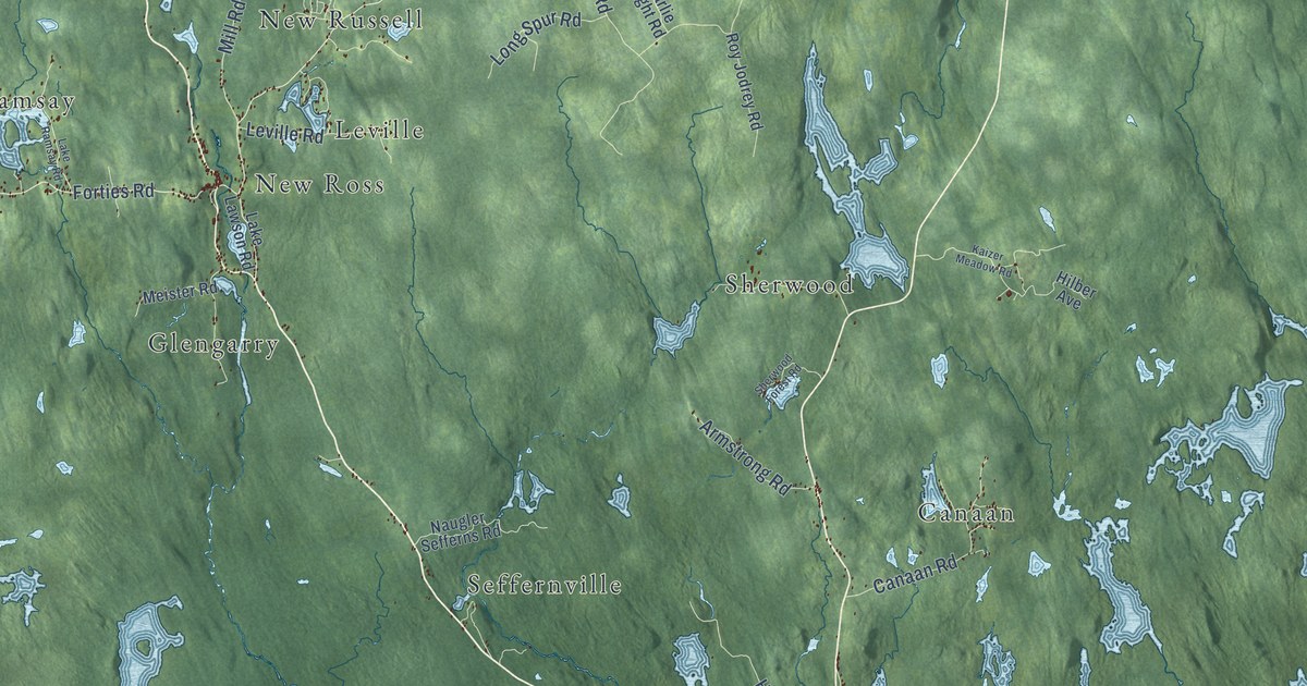
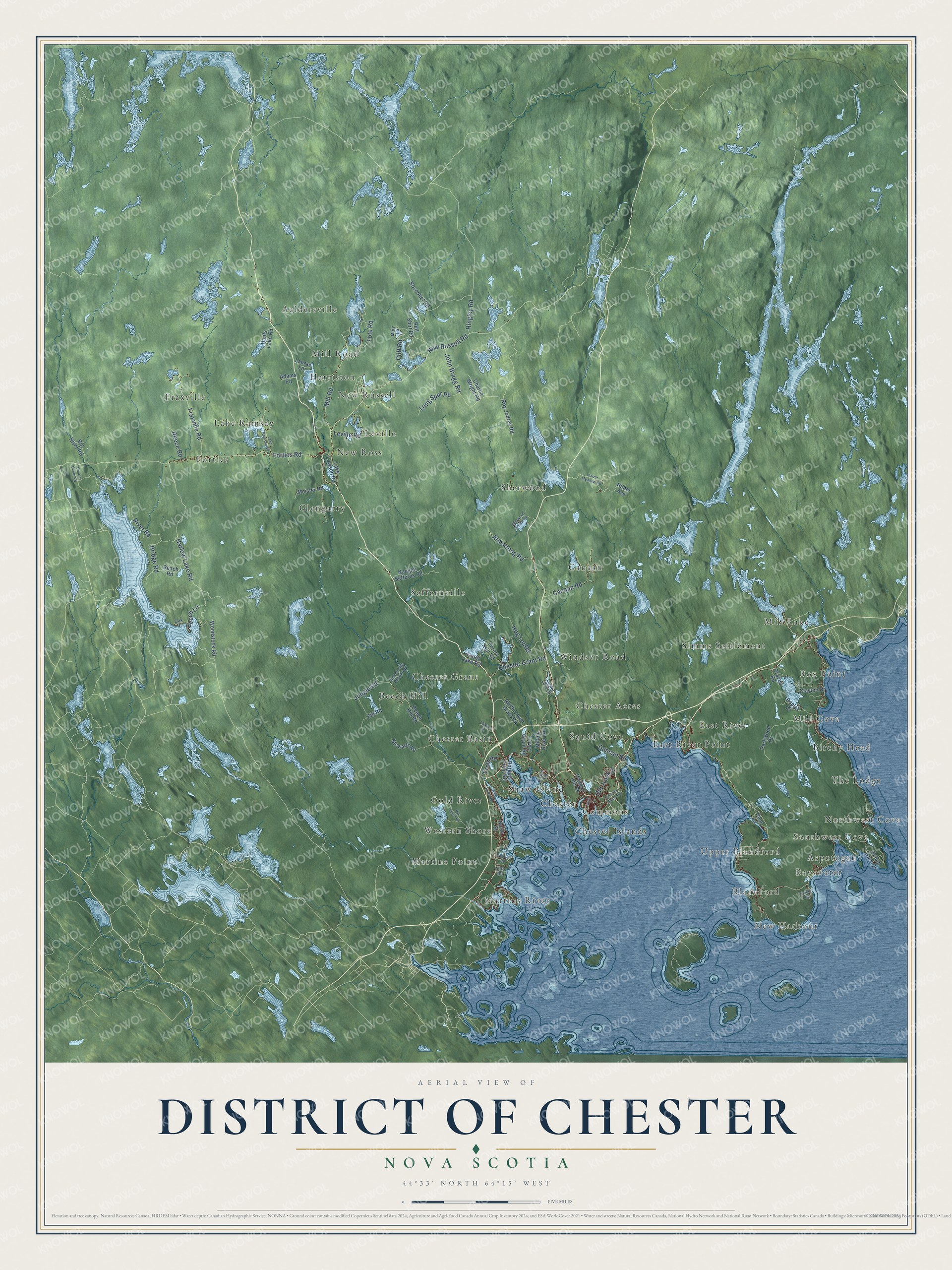
This beautifully detailed map of District of Chester, Nova Scotia was created in 2026 using aerial imagery combined with modern topographical, census, street and landmark data. It’s a one-of-a-kind view of District of Chester that combines accurate data with a vintage aesthetic. The map shows every building in its true location, many of the roads carry their names, and the shaded topographic relief shows the shape of the land.
Explore an aerial view of District of Chester, Nova Scotia
On the map you’ll find Southwest Cove, New Harbour, Northwest Cove, Bayswater, Aaldersville, Canaan, Forties, Martins River, Seffernville, Mill Lake, Chester Acres, New Ross, and more. If you look closely you can even find your house accurately drawn in its correct location. Zoom in on the preview to look for yours.
Take a closer look at the District of Chester map
Names on this map
These names are printed on this map.
Places: Southwest Cove, New Harbour, Northwest Cove, Bayswater, Aaldersville, Canaan, Forties, Martins River, Seffernville, Mill Lake, Chester Acres, New Ross, Beech Hill, Western Shore, Mill Cove, New Russell, Chester Grant, Fraxville, Sherwood, Windsor Road, Glengarry, Chester Basin, Upper Blandford, Harriston, Simms Settlement, Aspotogan, Lake Ramsay, The Lodge, Leville, Martins Point, Fox Point, Blandford, Gold River, East River, Shaw Island, Chester Islands, Squid Cove, Birchy Head, Mill Road, Commons, East River Point and Chester.
Streets and roads: New Russell Road, Forties Road, Chester Grant Road, Hingley Road, Old Trunk 3, Harlow Lake Road, Fraxville Road, Hog Lot Road, Armstrong Road, John Bragg Road, Tote Road, Reece Road.
More street names, A to Z
Adams Road, Beach Road, Beech Hill Brook Road, Beech Hill Road, Beech Lane, Big River Road, Bill Road, Borgels Point Road, Boscobel Road, Bridge Road, Canaan Road, Charlie Wright Road, Chester Shore Road, Church Camp Road, Clayton Drive, Cliff Road, Clinton Road, Crandall Road, Croft Road, Deer Lane, Duncan Road, Eisnor Road, Forest Hill Road, Gold River Road, Grant Lake Road, Graves Road, Haddon Hill Road, Hilber Avenue, Hiltz Road, Holtan Road, Hunts Lake Road, Jungle Road, Kaizer Meadow Road, King Street, Lake Lawson Road, Lake Ramsay Road, Larder Lake Drive, Lauras Lane, Leville Road, Long Spur Road, Lower Grant Road, Mary Lane, Meister Road, Middle River Road, Naugler Sefferns Road, North Lower Grant Road, North Street, Oak Drive, Ocean Gate Drive, Parkwood Drive, Poplar Drive, Red Shirt Road, River Road, Roy Jodrey Road, Rye Piece Road, Sherwood Forest Road, Stewarts Road, Woodstock Road.
See it on a wall
The District of Chester map as an 18 x 24 inch print in a black frame.

This beautifully detailed map of District of Chester makes an attractive addition to your office, library, or den, and it can even be used to teach children the geography and history of the area. It also makes a great gift for anyone who grew up in District of Chester or moved away. When you’re done exploring, click here to get your copy of the District of Chester map.