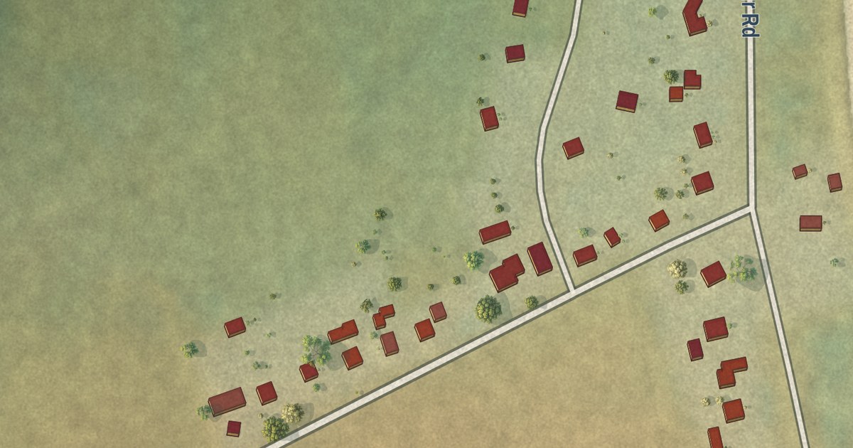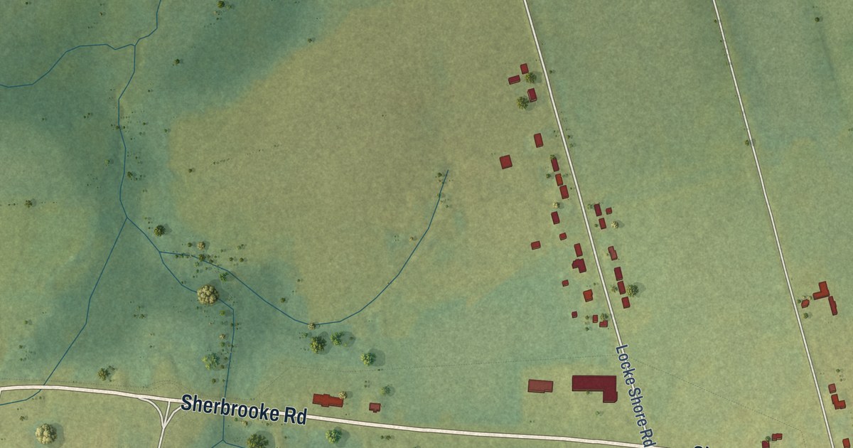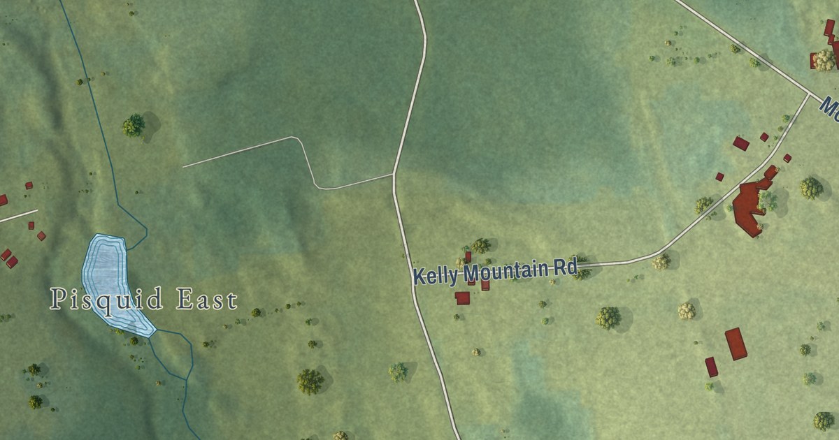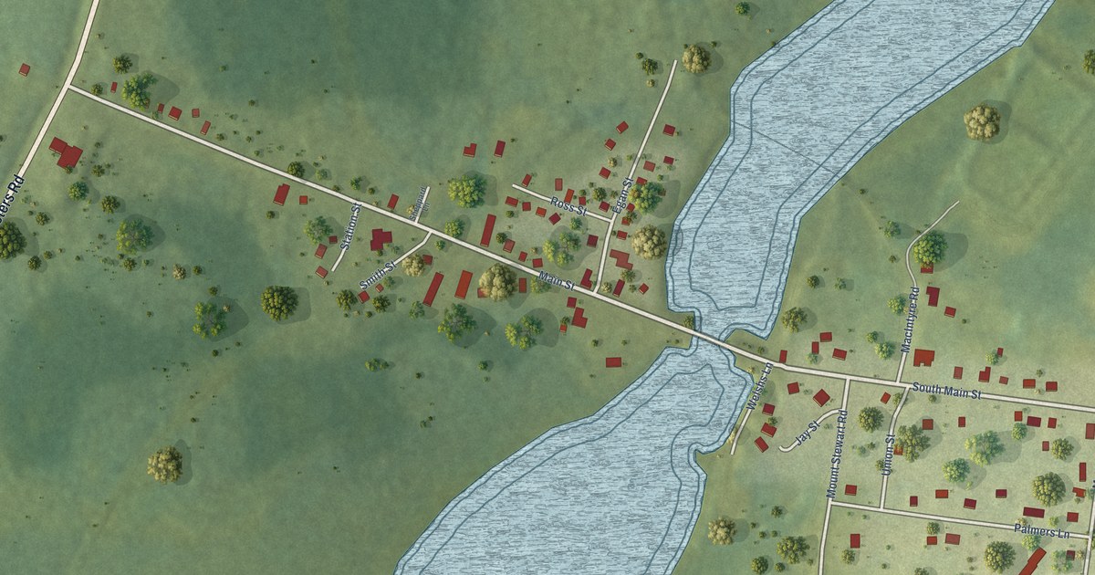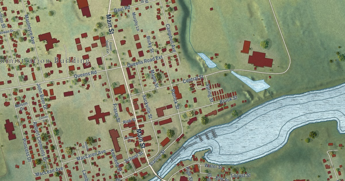
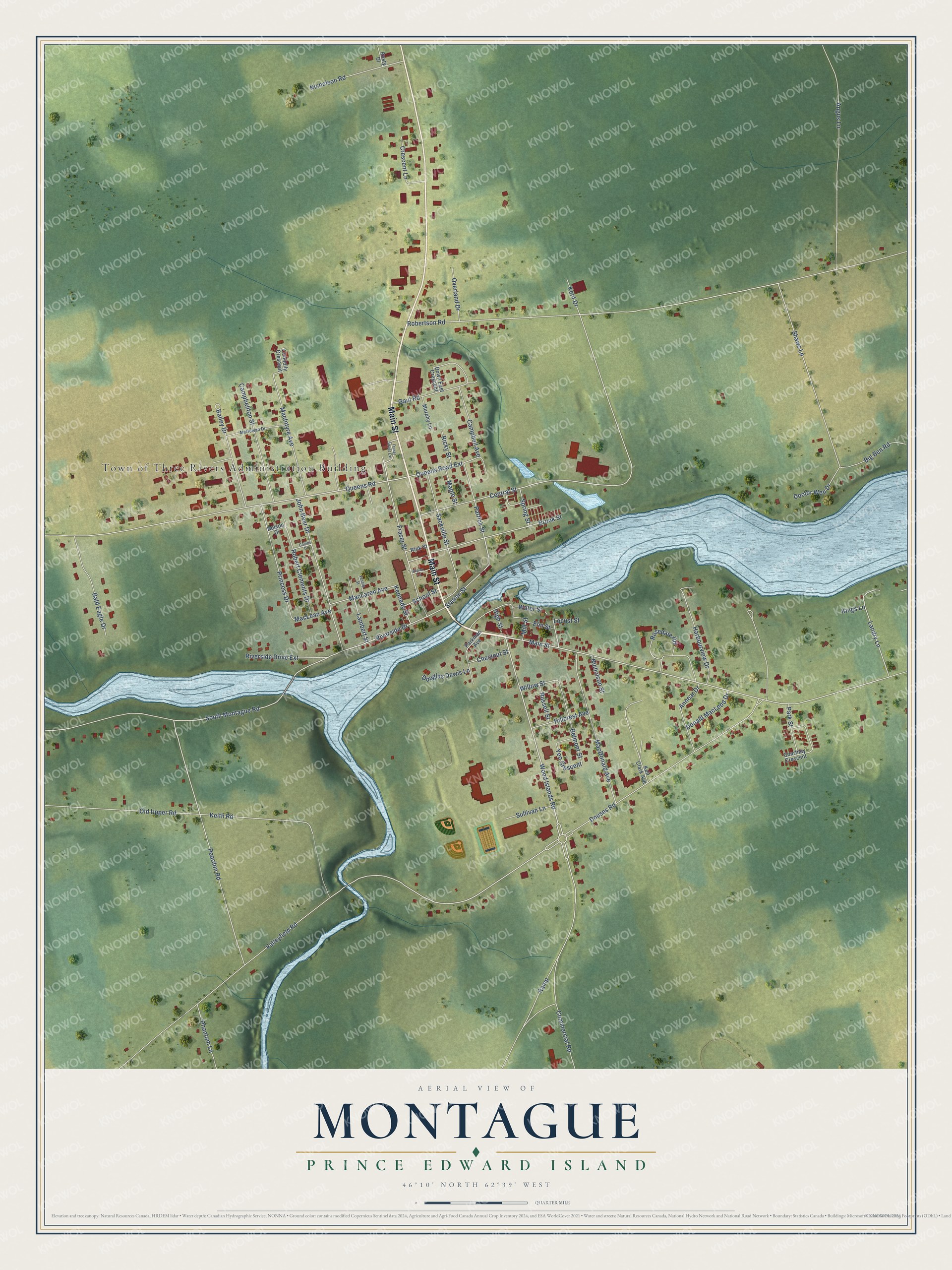
This beautifully detailed map of Montague, Prince Edward Island was created in 2026 using aerial imagery combined with modern topographical, census, street and landmark data. It’s a one-of-a-kind view of Montague that combines accurate data with a vintage aesthetic. The map shows every building in its true location, many of the roads carry their names, and the shaded topographic relief shows the shape of the land.
Explore an aerial view of Montague, Prince Edward Island
On the map you’ll find Town of Three Rivers Administration Building, along with Main Street, Queens Road, Wood Islands Road, Riverside Drive, Patrick Street, Station Street, Valleyfield Road, Fraser Street, Brook Street, Kennedy Street, Spring Street, and more. If you look closely you can even find your house accurately drawn in its correct location. Zoom in on the preview to look for yours.
Take a closer look at the Montague map
Names on this map
These names are printed on this map.
Places: Town of Three Rivers Administration Building.
Streets and roads: Main Street, Queens Road, Wood Islands Road, Riverside Drive, Patrick Street, Station Street, Valleyfield Road, Fraser Street, Brook Street, Kennedy Street, Spring Street, South Montague Road.
More street names, A to Z
Angus Lane, Annear Drive, Bailey Drive, Bald Eagle Drive, Belmont Street, Big Ben Road, Campbell Avenue, Campbellton Street, Central Street, Chestnut Street, Collins Drive, Commercial Road, Connolly Crescent, Courtney Crescent, Crescent Lane, Doctor Wen Drive, Donald MacLeod Drive, Douglas Dewis Lane, Douses Road, Down East Crescent, Elm Street, Fraser Street Extension, Gaul Road, Harbourview Drive, High Street, Hillcrest Avenue, John Beer Drive, Keir Clark Avenue, Keith Road, Kent Drive, Kings Lane, Lambert Street, Landry Lane, Locust Street, MacDonald Avenue, MacIntyre Avenue, MacLaren Avenue, MacLean Avenue, Maple Street, McGowan Drive, Mill Street, Murphy Lane, Nelson Drive, Nicholson Road, Nicholson Street, Old Upper Road, Overland Drive, Parkman Avenue, Park Street, Peardon Road, Pepler Lane, Phantom Lane, Princess Drive, Queens Road Extension, Ramp, Ricky Street, Rink Street, Riverside Drive Extension, Robert Clements Drive, Robertson Road, Rosedale Road, Russell Street, Rusty Drive, Sackville Street, School Street, Shaws Lane, Sullivan Lane, Vessey Street, Water Street, Willow Street, Yeo Crescent.
See it on a wall
The Montague map as an 18 x 24 inch print in a black frame.

This beautifully detailed map of Montague makes an attractive addition to your office, library, or den, and it can even be used to teach children the geography and history of the area. It also makes a great gift for anyone with Montague roots. When you’re done exploring, click here to get your copy of the Montague map.