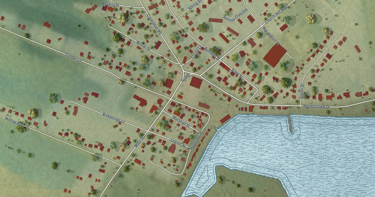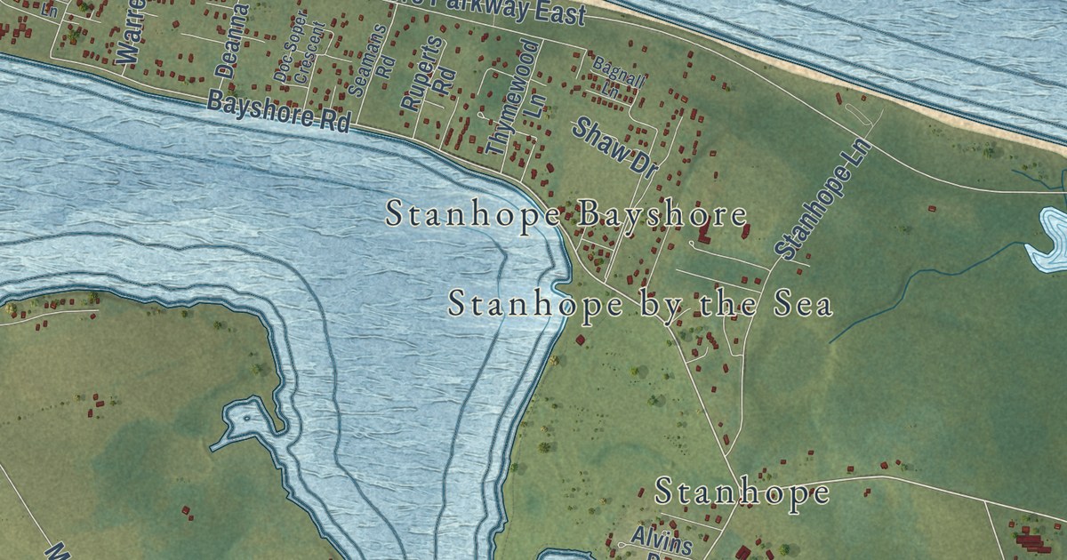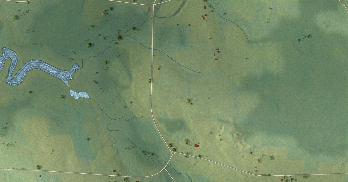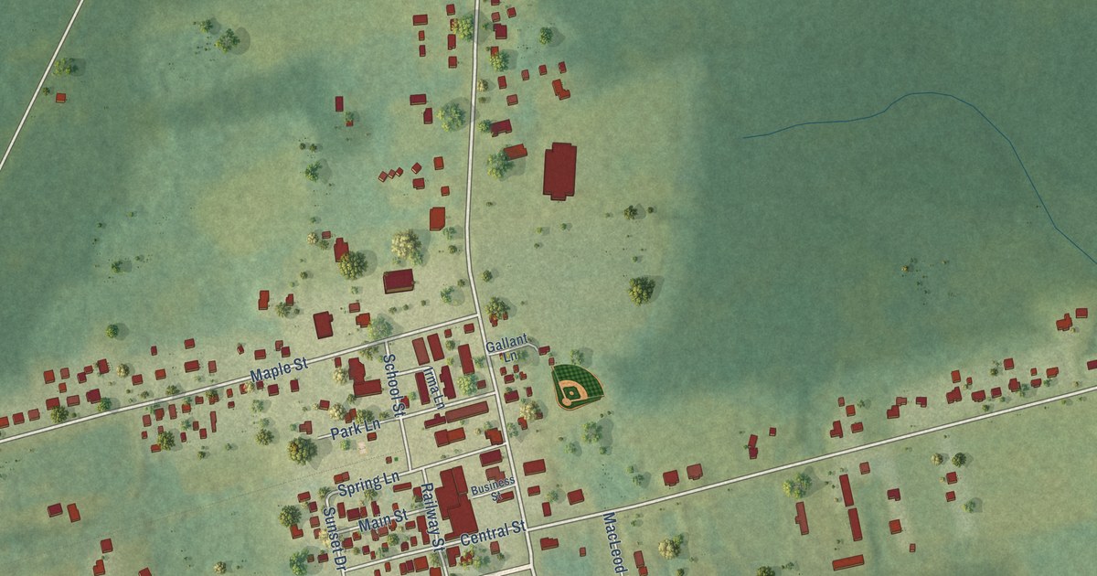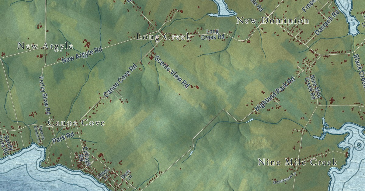
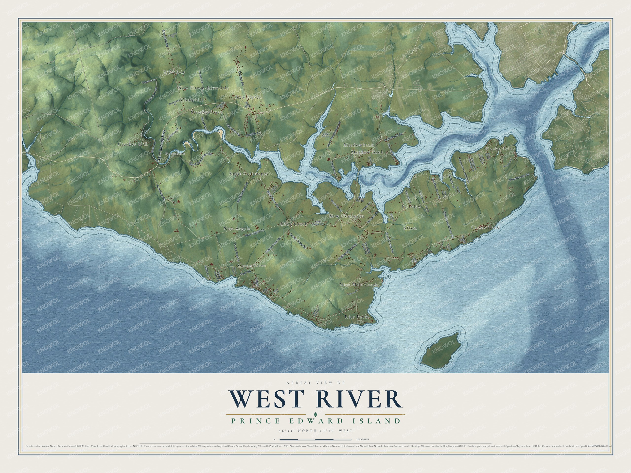
This beautifully detailed map of West River, Prince Edward Island was created in 2026 using aerial imagery combined with modern topographical, census, street and landmark data. It’s a one-of-a-kind view of West River that combines accurate data with a vintage aesthetic. The map shows every building in its true location, many of the roads carry their names, and the shaded topographic relief shows the shape of the land.
Explore an aerial view of West River, Prince Edward Island
On the map you’ll find Rocky Point, Canoe Cove, Riverdale, Afton, Bonshaw, Nine Mile Creek, Meadow Bank, Saint Catherines, Cumberland, New Haven, New Dominion, Long Creek, and more. If you look closely you can even find your house accurately drawn in its correct location. Zoom in on the preview to look for yours.
Take a closer look at the West River map
Names on this map
These names are printed on this map.
Places: Rocky Point, Canoe Cove, Riverdale, Afton, Bonshaw, Nine Mile Creek, Meadow Bank, Saint Catherines, Cumberland, New Haven, New Dominion, Long Creek, Strathgartney, Rice Point, New Argyle, Fairview, New Haven-Riverdale, Meadowbank, Churchill and Crosbys Mill.
Streets and roads: Trans Canada Highway, West River Road, New Argyle Road, Saint Catherines Road, Canoe Cove Road, MacEachern Road, Black Creek Road, Bonshaw Road, Highland Park Road, Hyde Point Road, Darrach Road, Riverdale Road.
More street names, A to Z
1 Red Cliff Lane, Birds Eye Drive, Blockhouse Road, Blue Heron Lane, Bolger Park Road, Boyle Road, Burdett Lane, Cameron Road, Charles Lane, Churchill Road, Colville Road, Cottage Road, Cumberland Line Road, Currie Lane, Dans Lane, Davids Lane, Fairview Drive, Fergusons Landing Lane, Fraser Lane, Green Road, Halls Lane, Harrods Lane, Hectors Dream Lane, Hogan Drive, Joy Avenue, Lems Road, Libbys Lane, Long Creek Road, Mac Dor Drive, Mackinnon Lane, MacPhail Cove Road, Nine Mile Creek Road, Northwood Road, Oceanview Lane, Osborne Road, Park Road, Perley Shaw Road, Peters Road, Sandy Cove Road, Sarah Janes Lane, Scenic View Road, Sheepskin Road, Sheldons Lane, Spring Creek Lane, Spurgeons Landing Lane, Stephens Lane, Strathgartney Road, Upper Meadowbank Road, Vinces Lane, Wards Landing Road, West River Lane, Westville Road, Wharf Road, Wisteria Lane.
See it on a wall
The West River map as an 18 x 24 inch print in a black frame.

This beautifully detailed map of West River makes an attractive addition to your office, library, or den, and it can even be used to teach children the geography and history of the area. It also makes a great gift for anyone with West River roots. When you’re done exploring, click here to get your copy of the West River map.