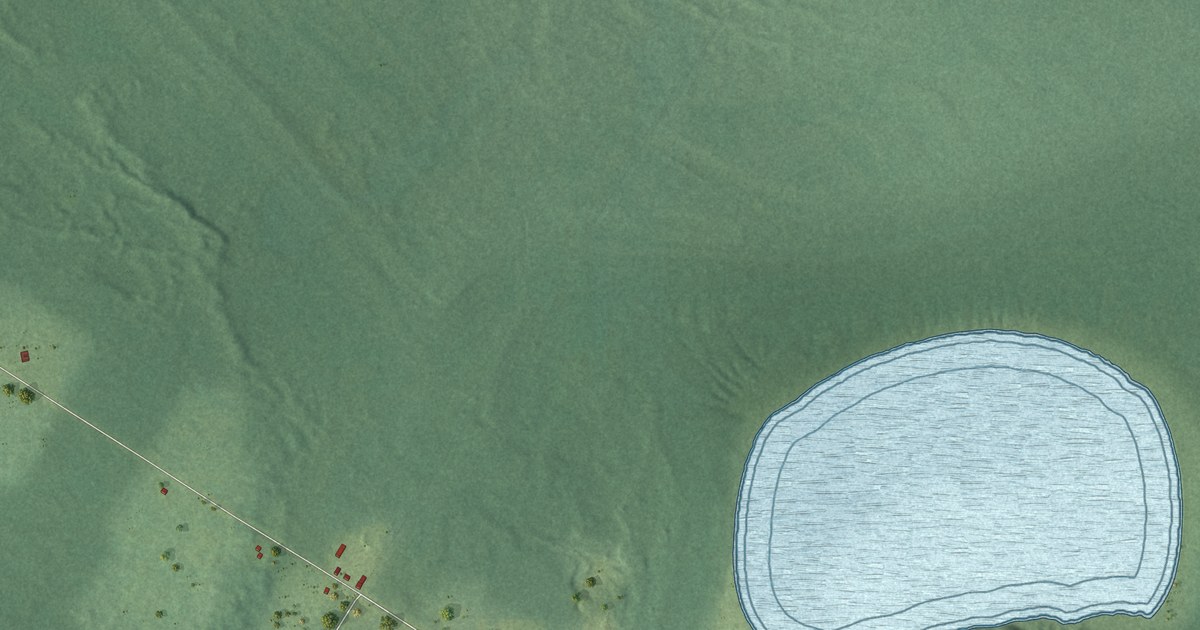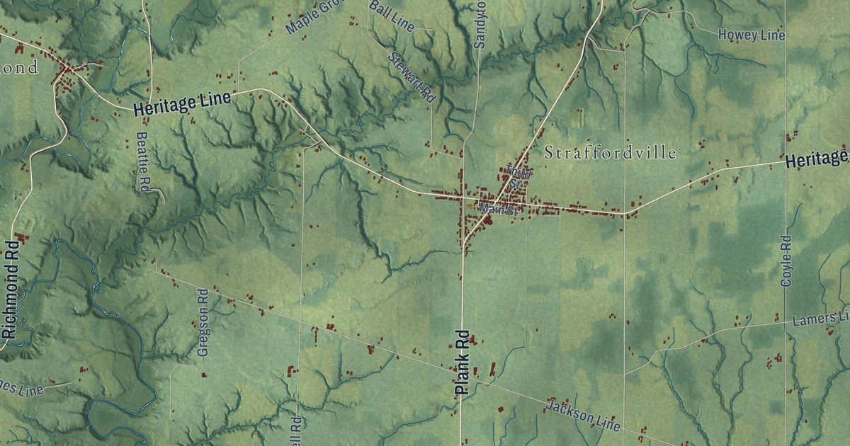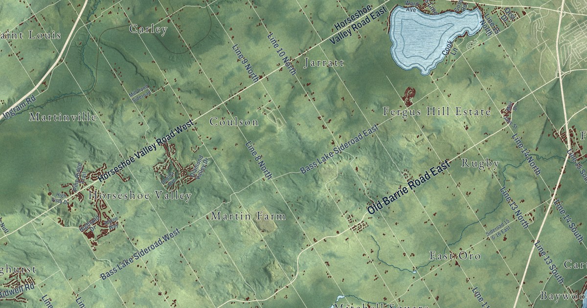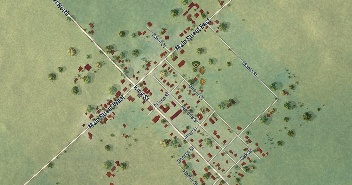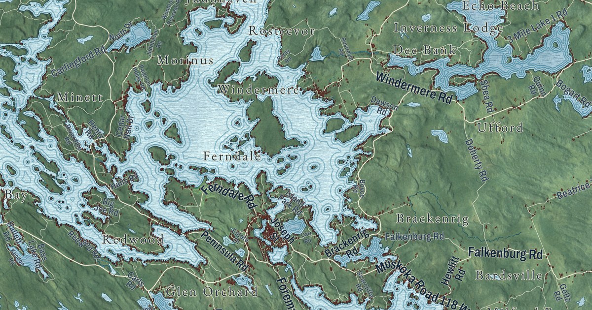
This beautifully detailed map of Muskoka Lakes, Ontario was created in 2026 using aerial imagery combined with modern topographical, census, street and landmark data. It’s a one-of-a-kind view of Muskoka Lakes that combines accurate data with a vintage aesthetic. The map shows every building in its true location, many of the roads carry their names, and the shaded topographic relief shows the shape of the land.
Explore an aerial view of Muskoka Lakes, Ontario
On the map you’ll find Severn Falls, Shannon Hall, Torrance, Beatrice, Gull Rock, Foot’s Bay, Ziska, Walkers Point, Morinus, Ullswater, Ufford, Bear Cave, and more. If you look closely you can even find your house accurately drawn in its correct location. Zoom in on the preview to look for yours.
Take a closer look at the Muskoka Lakes map
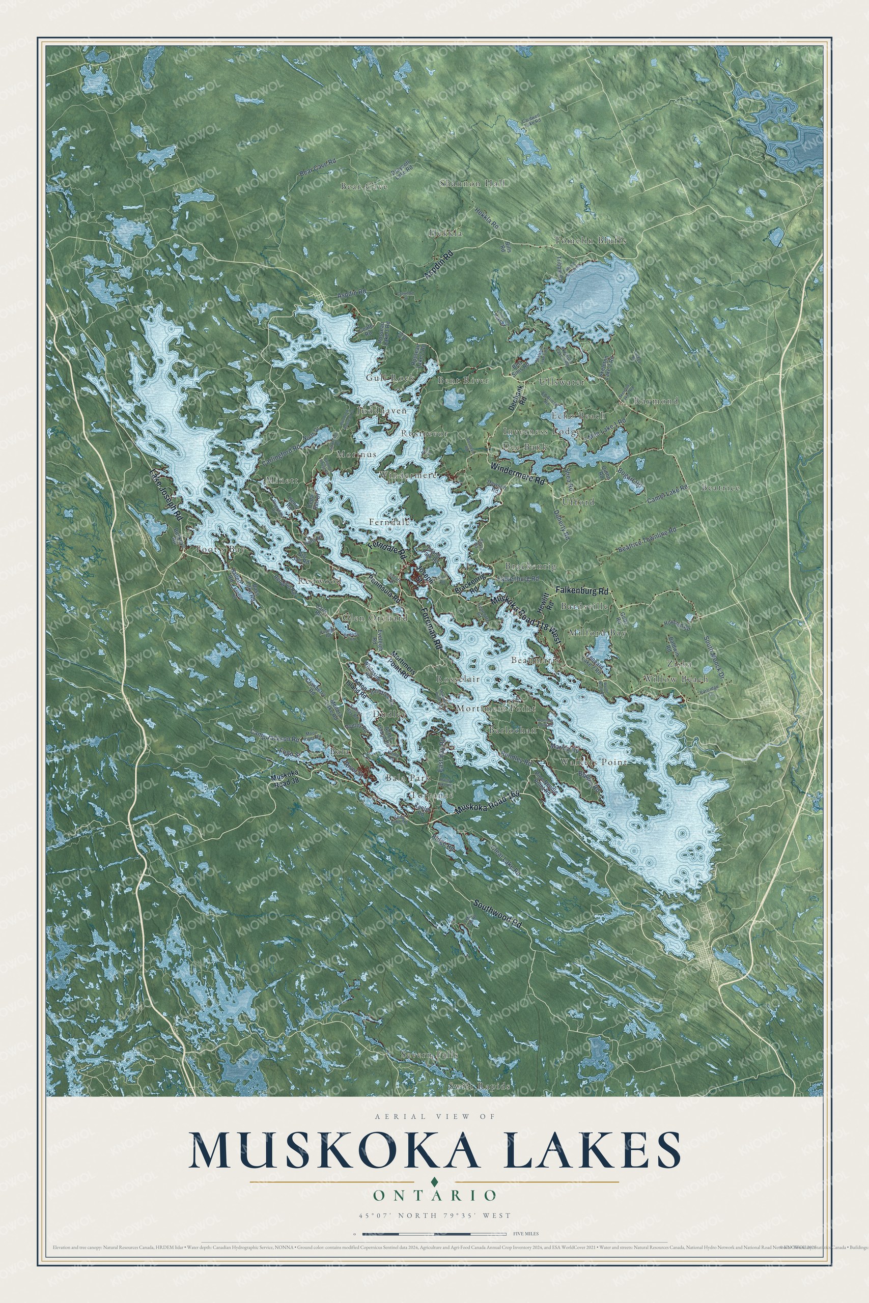
Names on this map
These names are printed on this map.
Places: Severn Falls, Shannon Hall, Torrance, Beatrice, Gull Rock, Foot's Bay, Ziska, Walkers Point, Morinus, Ullswater, Ufford, Bear Cave, Tomelin Bluffs, Brackenrig, Rossclair, Raymond, Redwood, Minett, Windermere, Swift Rapids, Dudley, Bent River, Bardsville, Hekkla, Willow Beach, Juddhaven, Bala, Mortimers Point, Dee Bank, Inverness Lodge, Echo Beach, Glen Orchard, Bala Park, Barlochan, Ferndale, Rostrevor, Beaumaris and Milford Bay.
Streets and roads: Muskoka Road 169, Muskoka Road 118 West, Lake Joseph Road, Windermere Road, Southwood Road, Falkenburg Road, Aspdin Road, Foreman Road, Ferndale Road, Doherty Road, South Monck Drive, 3 Mile Lake 1 Road.
More street names, A to Z
9 Mile Lake Road, Acton Island Road, Baldwin Road, Bass Lake Road, Bear Cave Road, Beatrice Townline Road, Bert Sims Road, Big Joe Road, Bills Road, Bogart Road, Boyce Road, Brackenrig Road, Bradley Road, Buckeye Road, Butterfly Road, Camel Lake Road, Camp Jackson Road, Cardwell Lake Road, Carlingford Road, Carls Road, Carr Road, Cedar Rail Drive, Clear Lake Road, Coate Road, Cranberry Road, Crawford Street, Dawson Road, Deebank Road, Draycott Lake Road, Dudley Road, East Bay Road, Ed Briese Road, Estate Drive, Eveleigh Road, Fogo Street, Fry Road, Goltz Road, Hallett Road, Halls Road, Hardy Lake Road, Hekkla Road, Hemlock Point Road, Henry Road, Hewlitt Road, Houston Road, Innisfree Road, Island Park Road, Joseph Street, Juddhaven Road, Keeler Road, Kemp Road, Kendon Road, Leonard Lake 2 Road, Little Long Lake Road, Long Lake Road, Luckey Road, Marina Road, Medora Lake Road, Moon River Road, Mortimers Point Road, Muskoka Road 38, North Drive, Paignton House Road, Partridge Lane, Peninsula Road, Pine Needle Point Road, Purdy Road, Quinn Road, Redwood Road, Rendley Road, Ridge Road, Riverdale Road, River Street, Rosseau Lake 2 Road, Rosseau Lake 3 Road, Rostrevor Road, Scarcliffe Road, Shea Road, Skeleton Lake 1 Road, Skeleton Lake 2 Road, Skeleton Lake 4 Road, Skeleton Lake 5 Road, Stroud Beach Road, Sunset Bay Road, Tribble Road, Whiteside Road, Woodrow Rosseau Road, Wylde Wood Road, Youngs Road.
See it on a wall
The Muskoka Lakes map as an 18 x 24 inch print in a black frame.

This beautifully detailed map of Muskoka Lakes makes an attractive addition to your office, library, or den, and it can even be used to teach children the geography and history of the area. It also makes a great gift for someone who left Muskoka Lakes and still calls it home. When you’re done exploring, click here to get your copy of the Muskoka Lakes map.