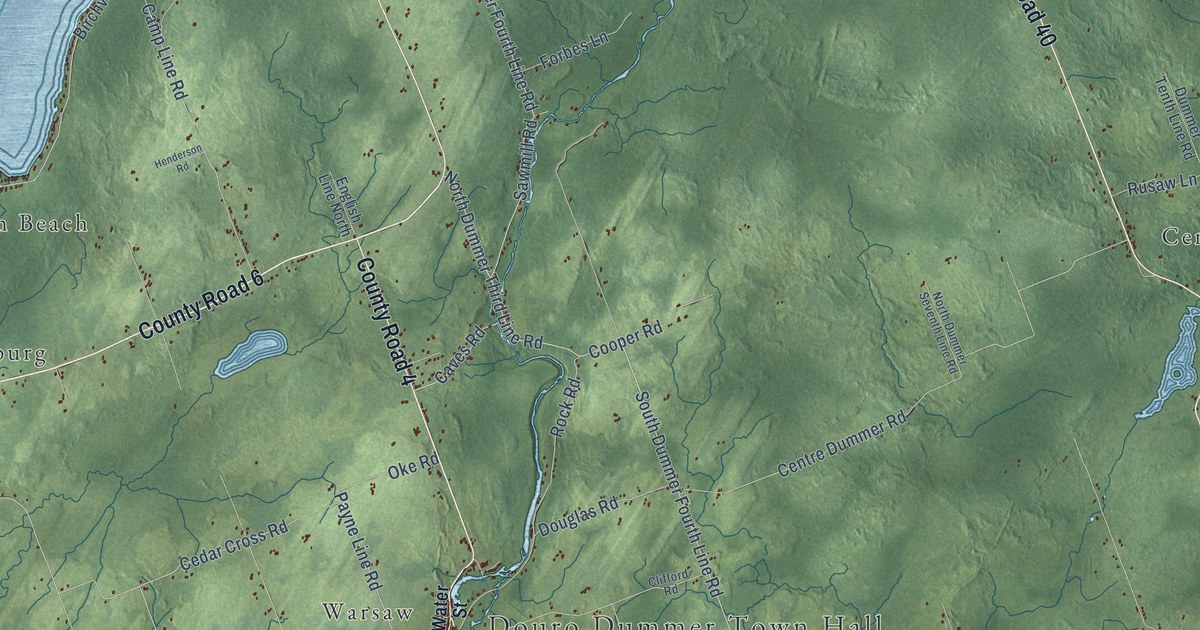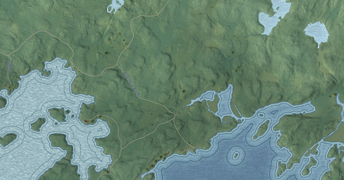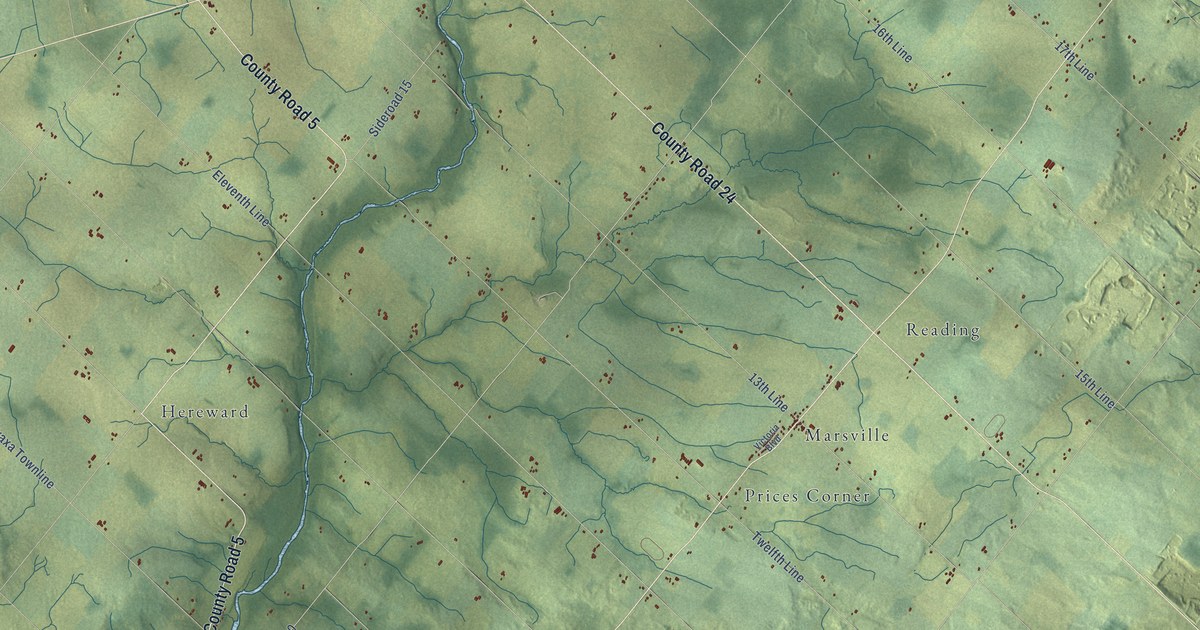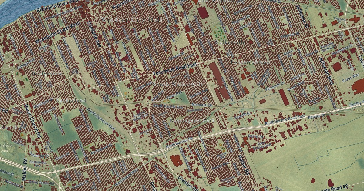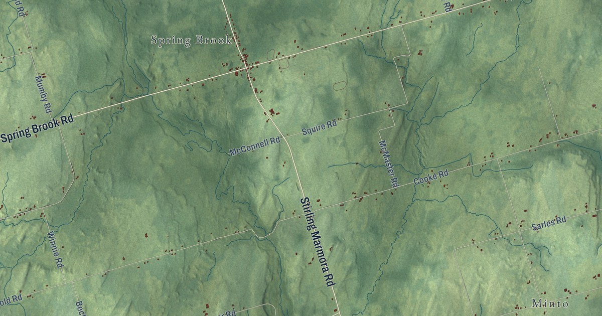
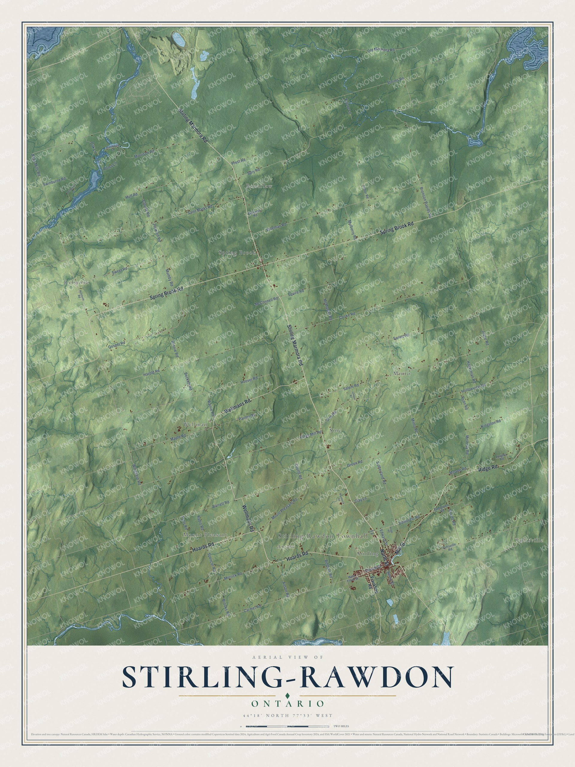
This beautifully detailed map of Stirling-Rawdon, Ontario was created in 2026 using aerial imagery combined with modern topographical, census, street and landmark data. It’s a one-of-a-kind view of Stirling-Rawdon that combines accurate data with a vintage aesthetic. The map shows every building in its true location, many of the roads carry their names, and the shaded topographic relief shows the shape of the land.
Explore an aerial view of Stirling-Rawdon, Ontario
On the map you’ll find Stirling-Rawdon Townhall, Tuftsville, Bonarlaw, Rylstone, Minto, Mount Pleasant, Wellman, Sine, Spring Brook, Anson, and Stirling, along with Stirling Marmora Road, and more. If you look closely you can even find your house accurately drawn in its correct location. Zoom in on the preview to look for yours.
Take a closer look at the Stirling-Rawdon map
Names on this map
These names are printed on this map.
Places: Stirling-Rawdon Townhall, Tuftsville, Bonarlaw, Rylstone, Minto, Mount Pleasant, Wellman, Sine, Spring Brook, Anson and Stirling.
Streets and roads: Stirling Marmora Road, Hoards Road, North Street, Spring Brook Road, Mill Street, Ridge Road, Wellmans Road, Allan Mills Road, Wingfield Road, Sweet Road, Mumby Road, Mount Pleasant Road.
More street names, A to Z
Anson Road, Arthur Road, Barrett Road, Bateman Road, Beckett Road, Bedford Road, Bronson Rapids Road, Brooks Road, Carmel Road, Church Street, Claude Road, Clay Lane, Cooke Road, Coutts Road, Demorest Road, Edward Street, Evergreen Road, Fargey Road, Frankford Road, Future Lane, Goods Road, Gospel Road, Green Road, Hagerman Road, Harmony Lane, Harold Road, Henry Street, Hollowview Road, Hoover Road, Huff Road, Johnson Road, Joyce Road, Joywind Road, Kings Mill Road, Kingston Road, Lake Road, Maple Road, McConnell Road, McGee Road, McInroy Road, McMaster Road, Merrick Road, Minto Road, Morrison Road, Mulberry Road, Oak Lane, Old Marmora Road, Pauley Road, Peggy Road, Potts Road, Prest Road, Radio Road, Rainie Road, Roma Lane, Ryan Road, Rylstone Road, Saint Marks Road, Salem Road, Sarles Road, Sine Road, Spencer Road, Spry Road, Squire Road, Storms Road, Sutherland Road, Swinburne Lane, Swinburne Road, Tuftsville Road, West Front Street, Williams Road, Winnie Road, Woodbeck Road.
See it on a wall
The Stirling-Rawdon map as an 18 x 24 inch print in a black frame.

This beautifully detailed map of Stirling-Rawdon makes an attractive addition to your office, library, or den, and it can even be used to teach children the geography and history of the area. It also makes a great gift for anyone with Stirling-Rawdon roots. When you’re done exploring, click here to get your copy of the Stirling-Rawdon map.