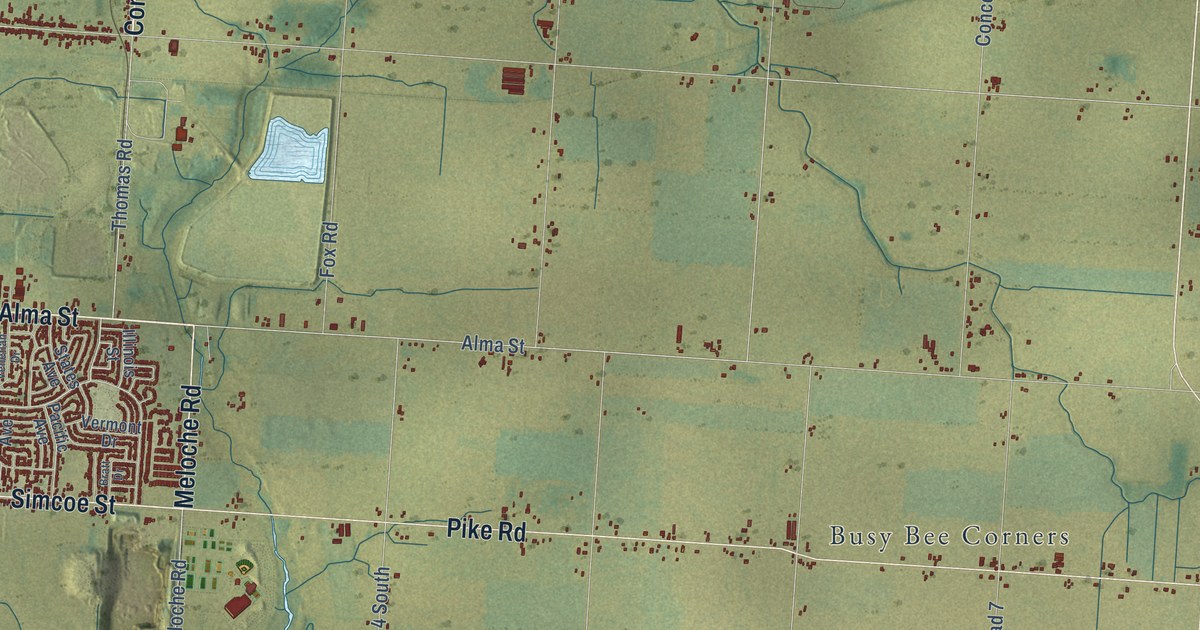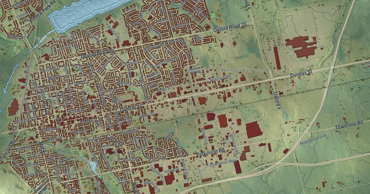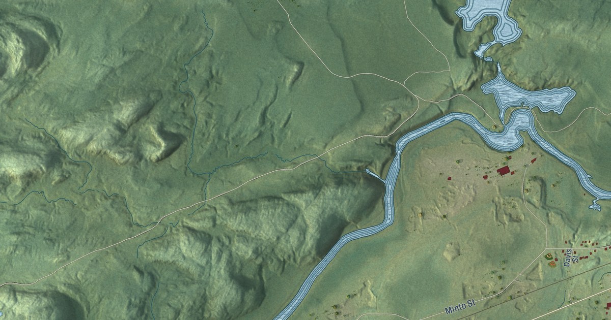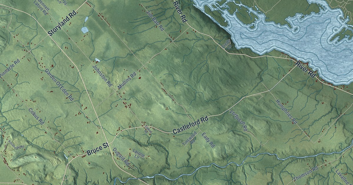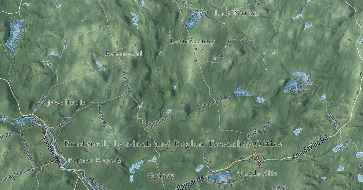
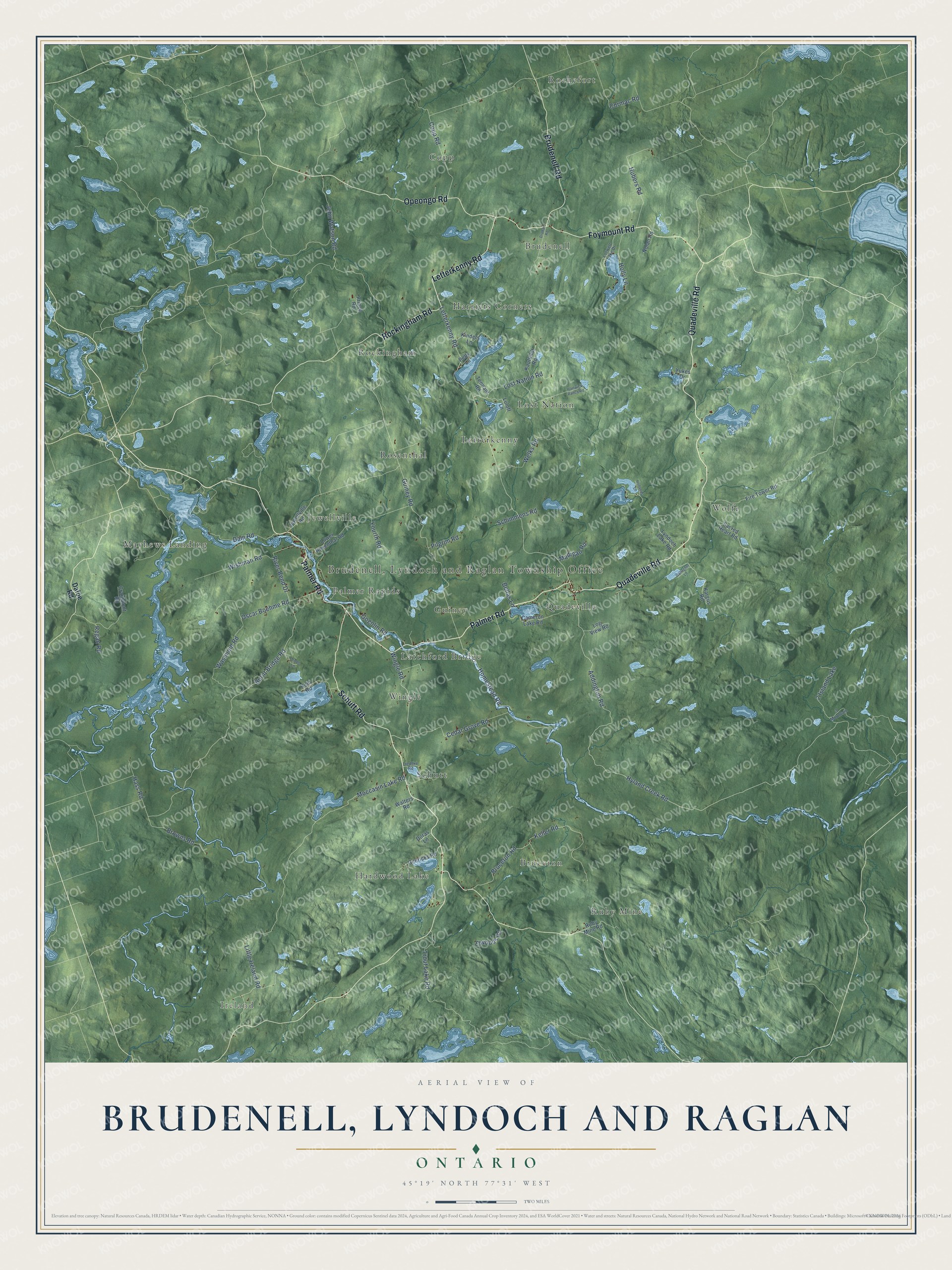
This beautifully detailed map of Brudenell, Lyndoch and Raglan, Ontario was created in 2026 using aerial imagery combined with modern topographical, census, street and landmark data. It’s a one-of-a-kind view of Brudenell that combines accurate data with a vintage aesthetic. The map shows every building in its true location, many of the roads carry their names, and the shaded topographic relief shows the shape of the land.
Explore an aerial view of Brudenell, Lyndoch and Raglan, Ontario
On the map you’ll find Lyndoch and Raglan Township Office, Ireland, Rochefort, Wolfe, Ruby Mine, Rosenthal, Harriets Corners, Schutt, Quadeville, Guiney, Mayhews Landing, and more. If you look closely you can even find your house accurately drawn in its correct location. Zoom in on the preview to look for yours.
Take a closer look at the Brudenell, Lyndoch and Raglan map
Names on this map
These names are printed on this map.
Places: Ireland, Rochefort, Wolfe, Ruby Mine, Rosenthal, Harriets Corners, Brudenell, Schutt, Quadeville, Guiney, Mayhews Landing, Letterkenny, Wingle, Hardwood Lake, Lost Nation, Rockingham, Copp, Bruceton, Jewellville, Latchford Bridge, Palmer Rapids and 2 Island Lake.
Streets and roads: Quadeville Road, Palmer Road, Schutt Road, Rockingham Road, Opeongo Road, Letterkenny Road, Foymount Road, Brudenell Road, Homestead Road, Hyland Creek Road, Wingle Road, Cedar Grove Road.
More street names, A to Z
3 Mountain, Addington Road, Bellas Lane, Browns Road, Bruceton Road, Burnt Bridge Road, Cameron Lake Road, Copp Road, Cormac Road, Craigmont Road, Dafoe Road, Dam Road, Doras Lane, Drohan Road, Elwoods Road, Fire Tower Road, Gallagher Lane, Genricks Road, Gogolin Road, Guiney Road, Hartwick Ranch Road, Hass Road, Hollands Lane, Holly Lane, Hubers Road, Jewellville Road, John Watson Road, Kargus Road, Kauffeldt Road, Keller Road, Kinders Lane, Liedtke Road, Little Ireland Road, Log View Road, Lorwell Lake Drive, Lost Nation Road, Lower Rosenthal Road, Luloff Lane, Lyndoch Lake Road, Madigan Road, Moccasin Lake Road, Nolan Road, Olives Lane, Oscar Boehme Road, Pells Lane, Pilgrim Road, Prince Road, Regan Road, Reid Road, River Bend Drive, Ruby Mine Road, Sacred Heart Road, Schimmens Road, Tennant Road, Trout Lake Road, Walters Road, Wasmund Road, Welks Road, Wishman Road, Yourth Road, Yukes Drive.
See it on a wall
The Brudenell, Lyndoch and Raglan map as an 18 x 24 inch print in a black frame.

This beautifully detailed map of Brudenell, Lyndoch and Raglan makes an attractive addition to your office, library, or den, and it can even be used to teach children the geography and history of the area. It also makes a great gift for someone who left Brudenell and still calls it home. When you’re done exploring, click here to get your copy of the Brudenell, Lyndoch and Raglan map.