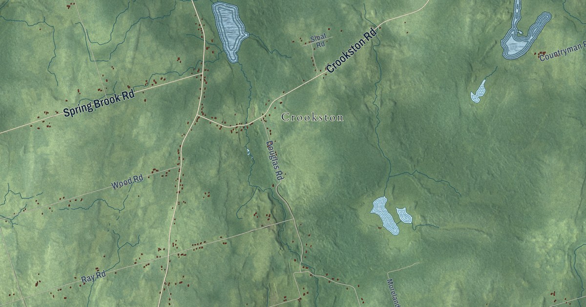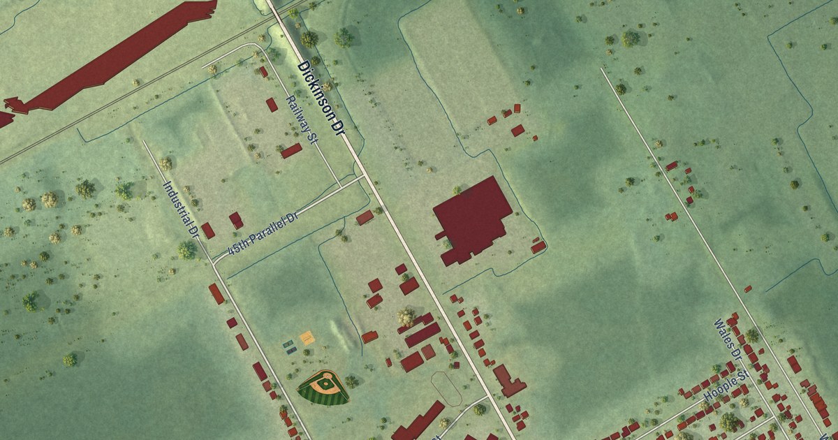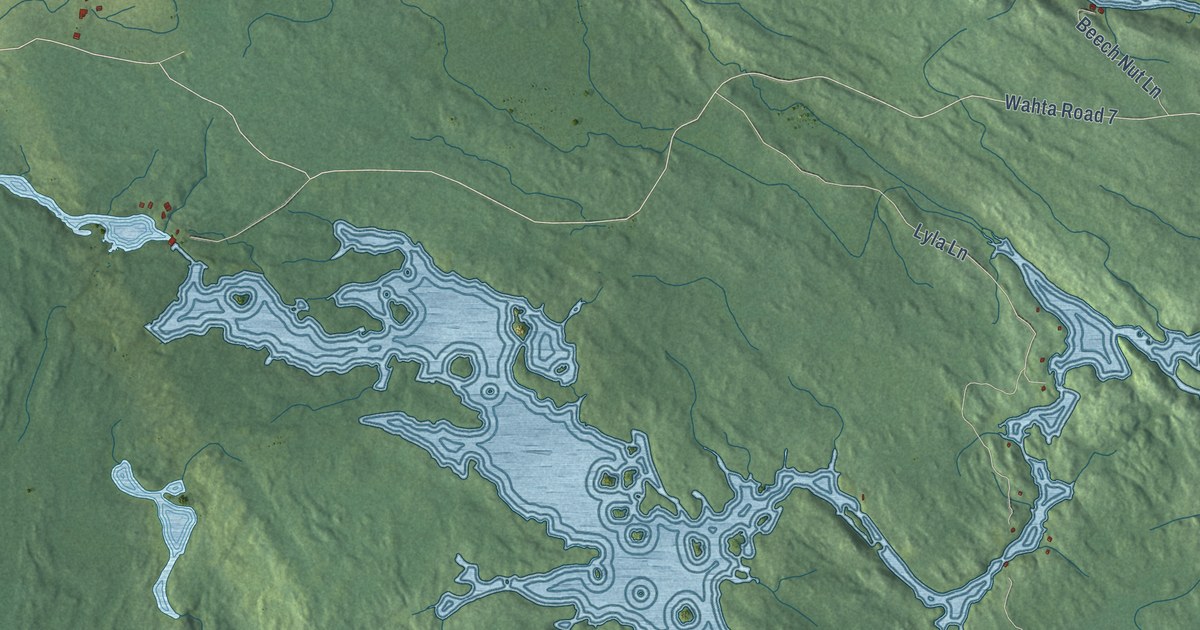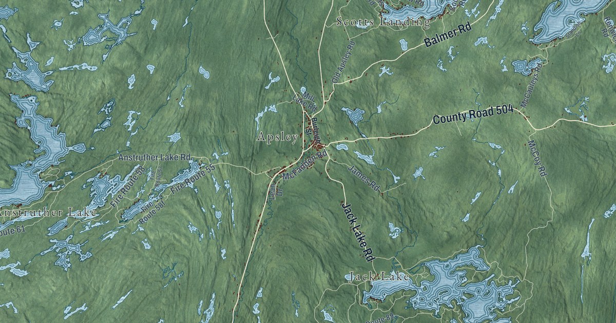
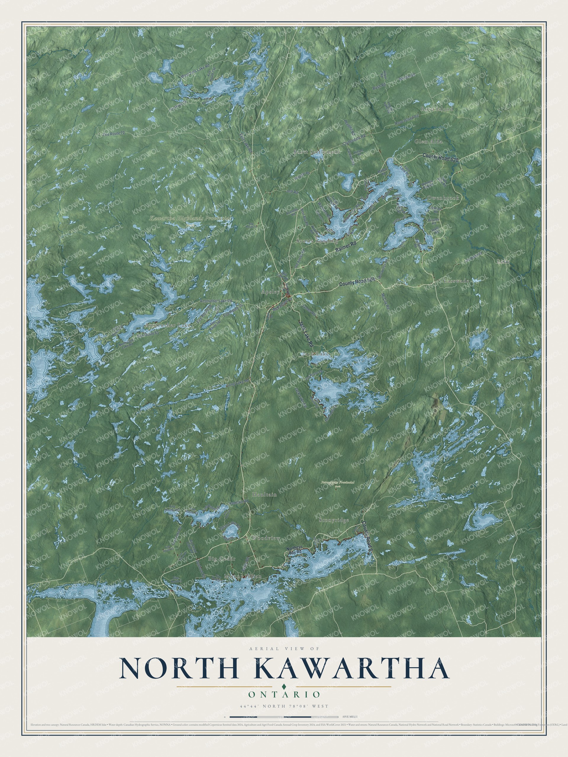
This beautifully detailed map of North Kawartha, Ontario was created in 2026 using aerial imagery combined with modern topographical, census, street and landmark data. It’s a one-of-a-kind view of North Kawartha that combines accurate data with a vintage aesthetic. The map shows every building in its true location, many of the roads carry their names, and the shaded topographic relief shows the shape of the land.
Explore an aerial view of North Kawartha, Ontario
On the map you’ll find Kawartha Highlands Provincial Park, Petroglyphs Provincial Park, Rose Island, Big Cedar, Lasswade, Anstruther Lake, Scott Settlement, Jack Lake, Haultain, Owenbrook, Scotts Landing, Apsley, and more. If you look closely you can even find your house accurately drawn in its correct location. Zoom in on the preview to look for yours.
Take a closer look at the North Kawartha map
Names on this map
These names are printed on this map.
Places: Kawartha Highlands Provincial Park, Petroglyphs Provincial Park, Rose Island, Big Cedar, Lasswade, Anstruther Lake, Scott Settlement, Jack Lake, Haultain, Owenbrook, Scotts Landing, Apsley, Glen Alda, Woodview, Stonyridge, Lake and Mount Julian.
Streets and roads: County Road 620, County Road 504, County Road 6, Jack Lake Road, Balmer Road, Eels Lake Road, West Eels Lake Road, Clydesdale Road, Anstruther Lake Road, Rose Island Road, McFadden Road, McCoy Road.
More street names, A to Z
Antelope Trail, Big Cedar Lake Road, Burleigh Street, Bush Road, Butler Drive, Caldwell Road, Coon Lake Road, Couchs Road, Doc Evans Road, Don Wilson Road, Dove Lane, Dunford Road, Everetts Road, Fire Route 1, Fire Route 4, Fire Route 22, Fire Route 36, Fire Route 43, Fire Route 45, Fire Route 46, Fire Route 50, Fire Route 52, Fire Route 55, Fire Route 57, Fire Route 58, Fire Route 61, Fire Route 70, Fire Route 72, Fire Route 74, Fire Route 89, Fire Route 247, Fitch Lane Road, Gazelle Trail, Gilmour Lane, Glen Alda Road, Halls Road, Haultain Road, Hilker Road, Hobson Road, Hogan Lake Road, Hulls Road, James Road, Jeff Road, Julian Lake Road, Knox Point Road, Lasswade Road, Lean Drive, Long Lake Road, Maple Lane, McCauleys Road, Mill Lake Road, Mindle Road, Moffat Road, Newts Road, North Cold Lake Road, Northeys Bay Road, Old Apsley Road, Paw Road, Peebles Road, Pleasant Point Road, Proutys Road, Reids Road, Renwick Road, Spence Road, Standish Lane, Tanager Lane, Trotter Oitment Road, Walkes Road, Warners Road, West Bay Road, Windsor Road, Winters Bay Road.
See it on a wall
The North Kawartha map as an 18 x 24 inch print in a black frame.

This beautifully detailed map of North Kawartha makes an attractive addition to your office, library, or den, and it can even be used to teach children the geography and history of the area. It also makes a great gift for anyone who grew up in North Kawartha or moved away. When you’re done exploring, click here to get your copy of the North Kawartha map.