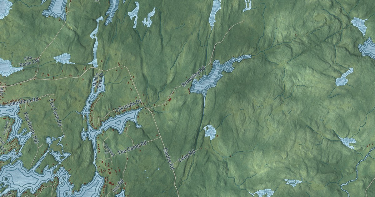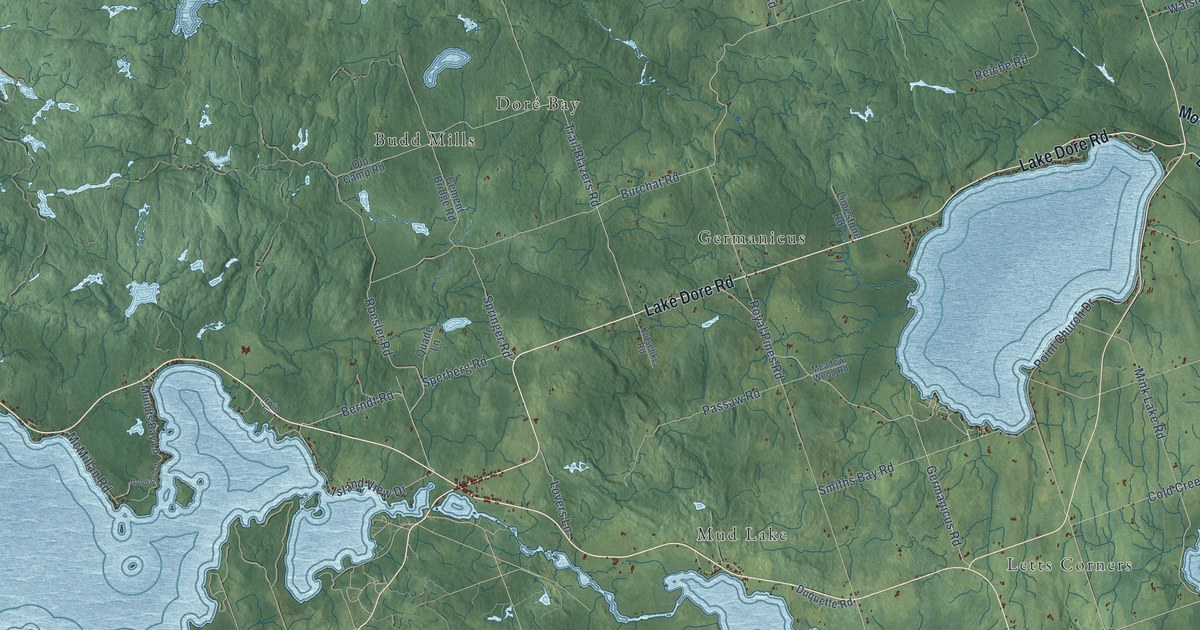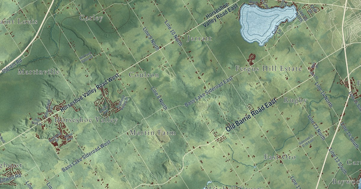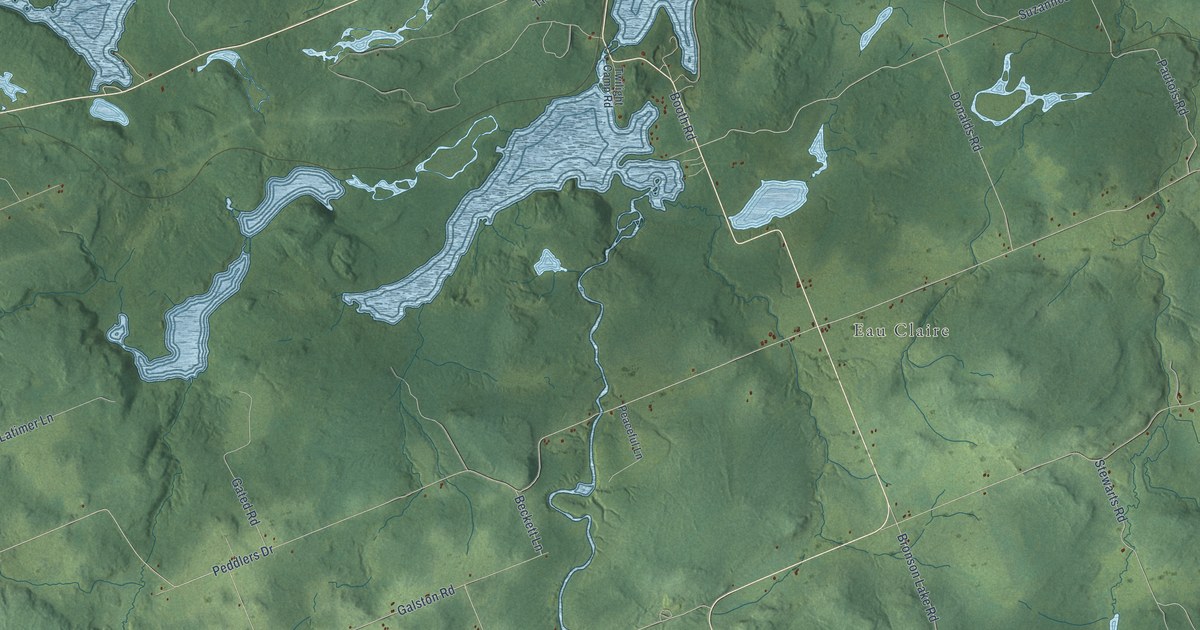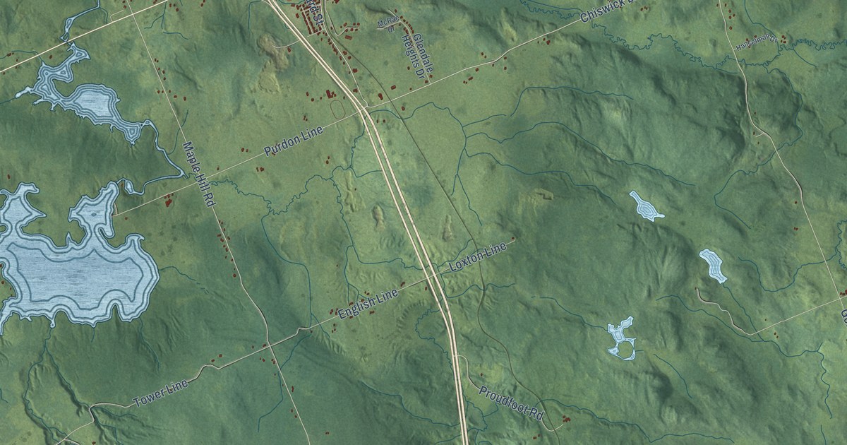
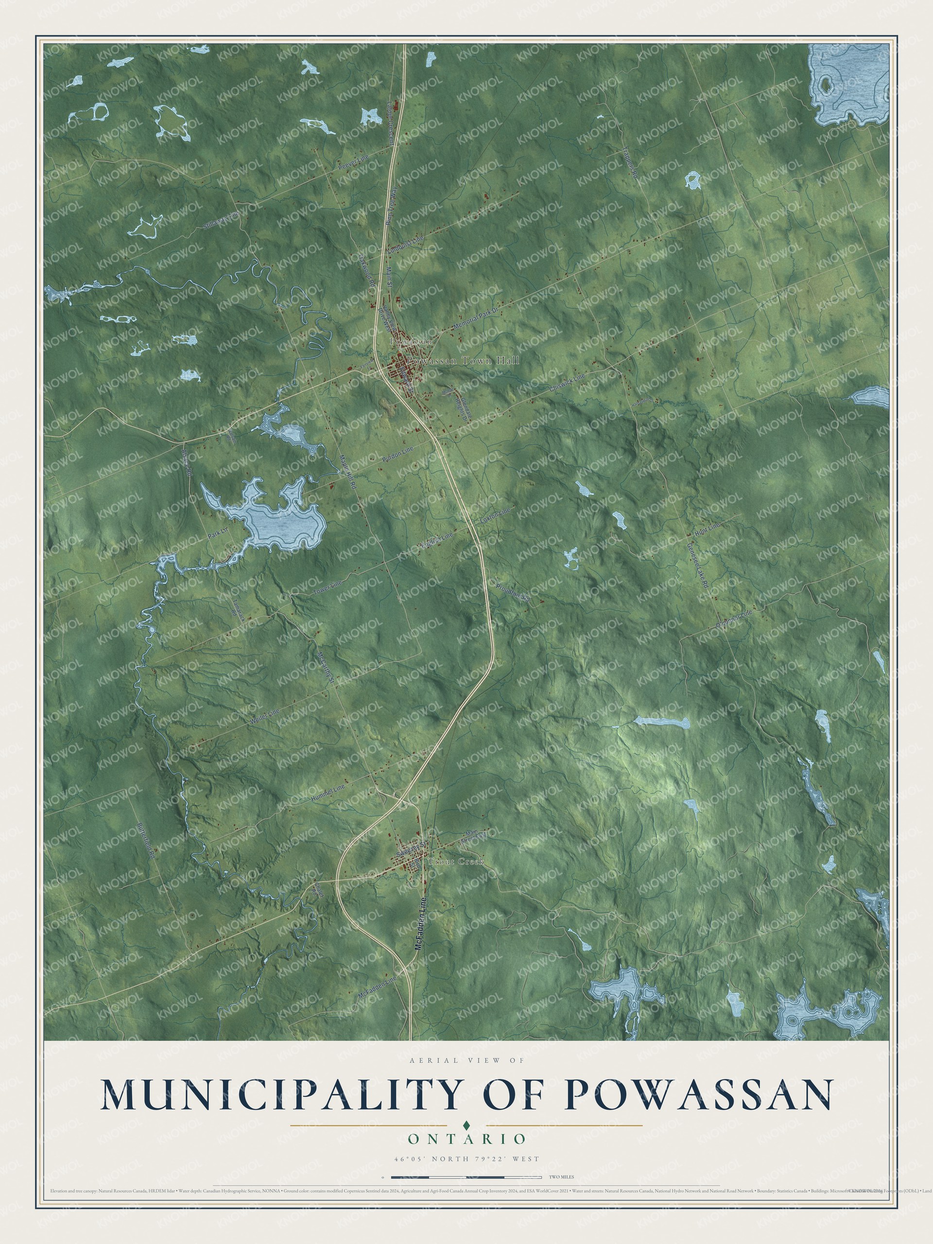
This beautifully detailed map of Municipality of Powassan, Ontario was created in 2026 using aerial imagery combined with modern topographical, census, street and landmark data. It’s a one-of-a-kind view of Municipality of Powassan that combines accurate data with a vintage aesthetic. The map shows every building in its true location, many of the roads carry their names, and the shaded topographic relief shows the shape of the land.
Explore an aerial view of Municipality of Powassan, Ontario
On the map you’ll find Powassan Town Hall, Trout Creek, Powassan, McFadden Line, Chiswick Line, and Loxton Line, along with Main Street, Memorial Park Drive, McCarthy Street, Proudfoot Road, Alsace Road, Maple Hill Road, and more. If you look closely you can even find your house accurately drawn in its correct location. Zoom in on the preview to look for yours.
Take a closer look at the Municipality of Powassan map
Names on this map
These names are printed on this map.
Places: Powassan Town Hall, Trout Creek and Powassan.
Streets and roads: McFadden Line, Main Street, Chiswick Line, Memorial Park Drive, McCarthy Street, Proudfoot Road, Alsace Road, Loxton Line, Maple Hill Road, Weiler Line, Genesee Lake Road, Trappers Road.
More street names, A to Z
Balsam Road, Bird Street, Butterfield Road, Chalet Road, Edward Street, English Line, Fairview Lane, Glendale Heights Drive, Hanselman Drive, Hummel Line, Hunt Line, Latour Crescent, Lindquist Line, Main Street East, McRae Drive, O'connor Line, Oakwood Road, Park Lane, Peever Line, Pine Tree Way, Purdon Line, Stillaway Line, Sweezey Street, Tamarack Road, Tower Line, Valley View Drive West.
See it on a wall
The Municipality of Powassan map as an 18 x 24 inch print in a black frame.

This beautifully detailed map of Municipality of Powassan makes an attractive addition to your office, library, or den, and it can even be used to teach children the geography and history of the area. It also makes a great gift for anyone with Municipality of Powassan roots. When you’re done exploring, click here to get your copy of the Municipality of Powassan map.