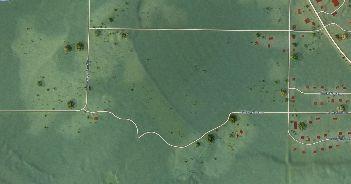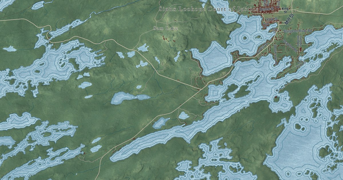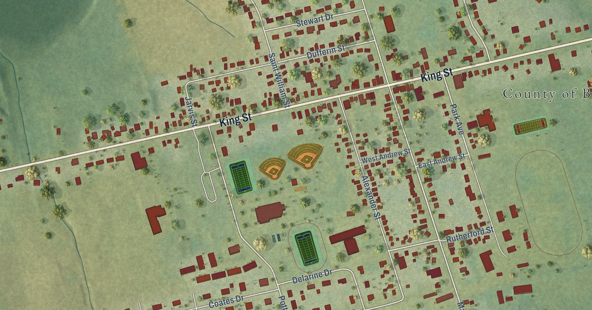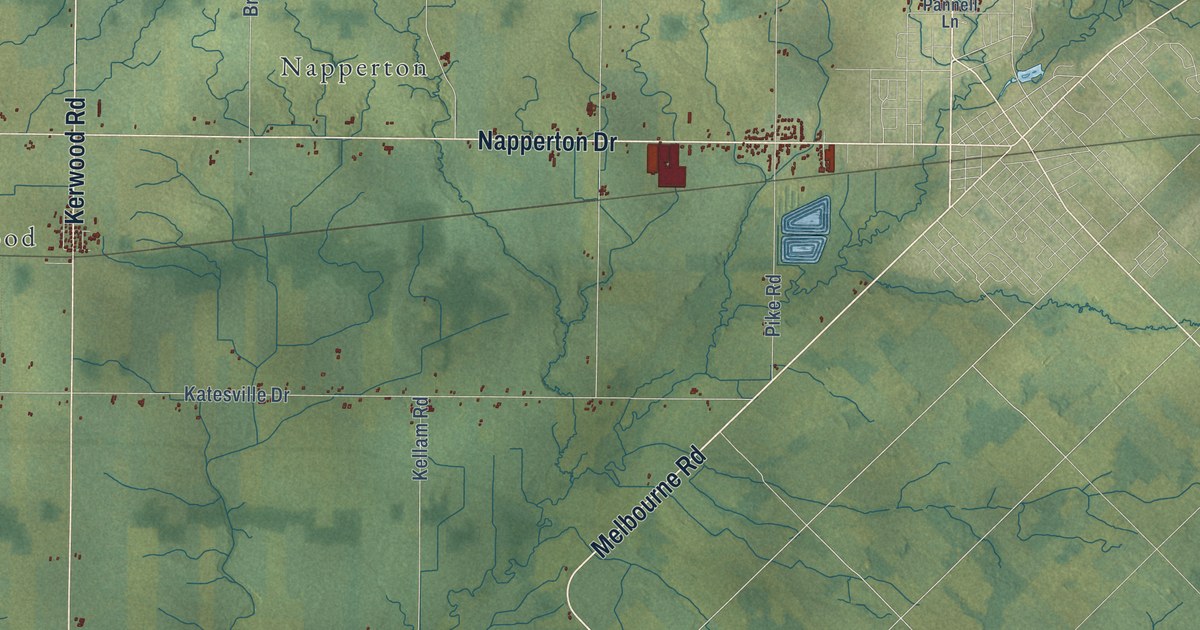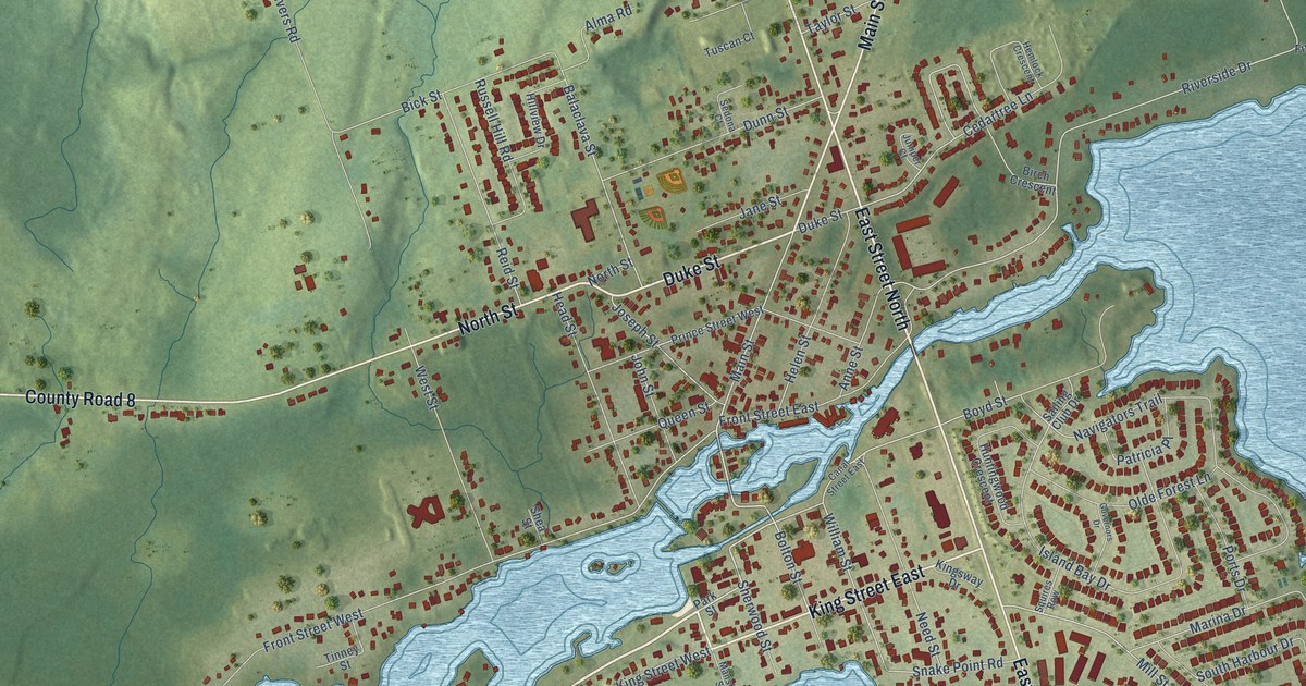
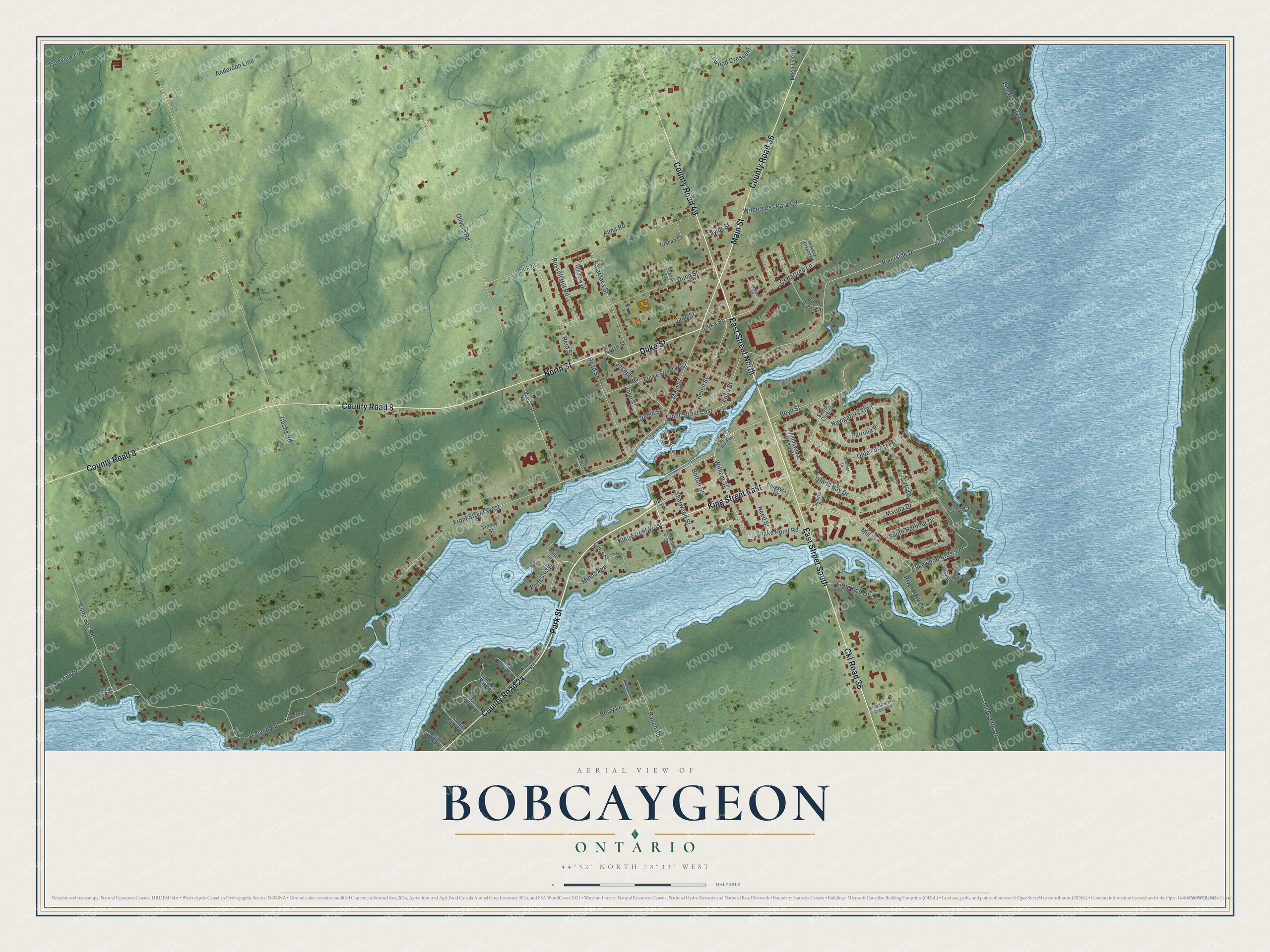
This beautifully detailed map of Bobcaygeon, Ontario was created in 2026 using aerial imagery combined with modern topographical, census, street and landmark data. It’s a one-of-a-kind view of Bobcaygeon that combines accurate data with a vintage aesthetic. The map shows every building in its true location, many of the roads carry their names, and the shaded topographic relief shows the shape of the land.
Explore an aerial view of Bobcaygeon, Ontario
On the map you’ll find Ckl Road 36, along with Park Street, East Street South, East Street North, King Street East, County Road 24, North Street, Main Street, Duke Street, County Road 8, County Road 36, County Road 49, and more. If you look closely you can even find your house accurately drawn in its correct location. Zoom in on the preview to look for yours.
Take a closer look at the Bobcaygeon map
Names on this map
These names are printed on this map.
Streets and roads: Park Street, East Street South, East Street North, King Street East, County Road 24, North Street, Main Street, Duke Street, County Road 8, County Road 36, Ckl Road 36, County Road 49.
More street names, A to Z
Alma Road, Anderson Line, Anne Street, Austin Boulevard, Balaclava Street, Balsam Park Road, Berry Lane, Bick Street, Birch Crescent, Bolton Street, Boyd Street, Canal Street East, Cedar Park Road, Cedartree Lane, Coshs Road, Courtney Lane, Crescent Drive, Dunn Street, Echo Bay Road, Ellwood Crescent, Esturian Road, Fire Route 127, Fire Route 128, Front Street East, Front Street West, Governors Drive, Head Street, Helen Street, Hemlock Crescent, Hillview Drive, Huntingwood Crescent, Island Bay Drive, Jane Street, John Street, Joseph Street, Juniper Court, Juniper Park Street, King Street, King Street West, Kingsway Drive, Lakeland Road, Lakewood Crescent, Lance Street, Lily Lane, Little Bob Drive, Manchester Trail, Mansfield Street, Marina Drive, McGregor Drive, Meadowlark Crescent, Mill Street, Minns Avenue, Moon Line Road, Navigators Trail, Need Street, Oak Park Road, Olde Forest Lane, Olivers Road, Patricia Place, Perfectus Drive, Pine Park Road, Ports Drive, Prince Street West, Queen Street, Ranch Road, Reid Street, River Park Drive, Riverside Drive, Russell Hill Road, Sailing Club Drive, Sedona Court, Shea Street, Sherwood Street, Snake Point Road, South Harbour Drive, Squires Row, Sylvan Court, Taylor Street, Tinney Street, Treeview Line, Tuscan Court, Vanier Court, West Street, Wilderness Park Road, William Street.
See it on a wall
The Bobcaygeon map as an 18 x 24 inch print in a black frame.

This beautifully detailed map of Bobcaygeon makes an attractive addition to your office, library, or den, and it can even be used to teach children the geography and history of the area. It also makes a great gift for someone who left Bobcaygeon and still calls it home. When you’re done exploring, click here to get your copy of the Bobcaygeon map.