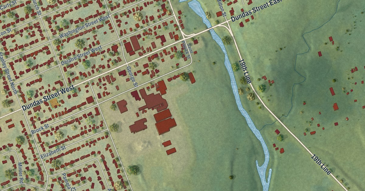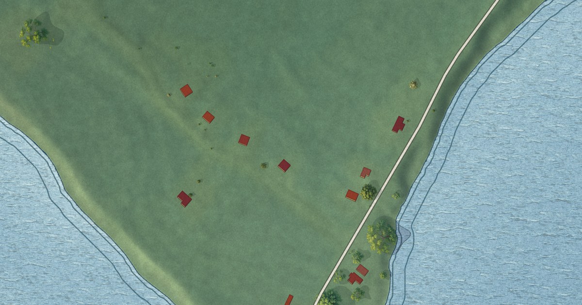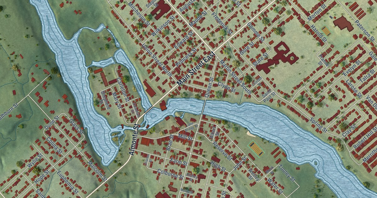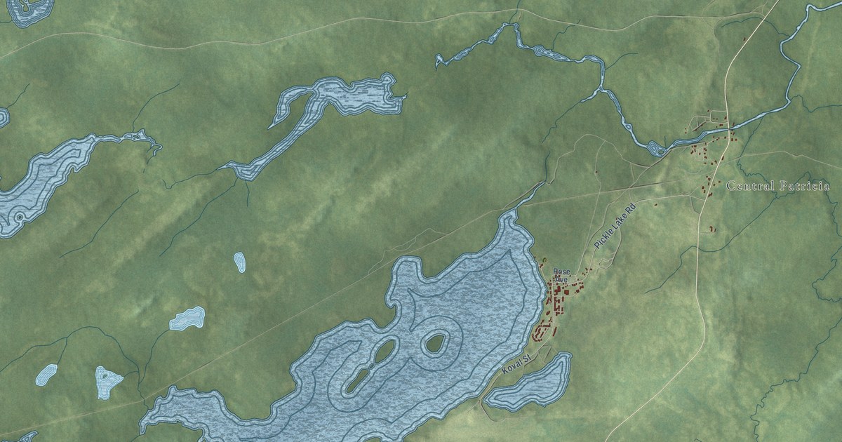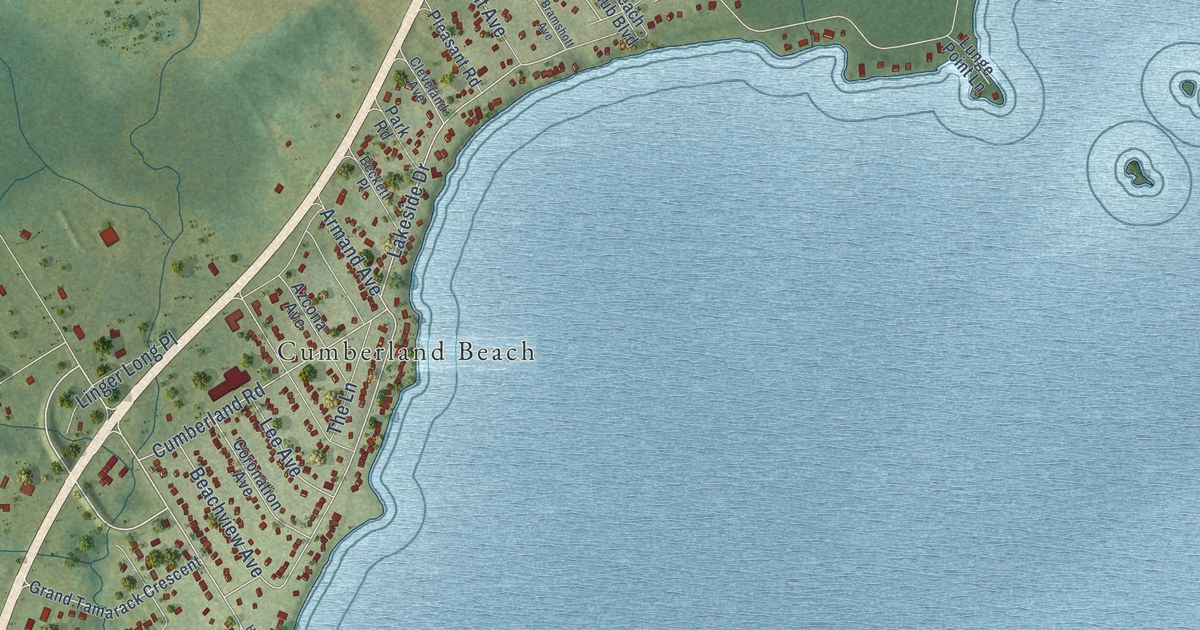
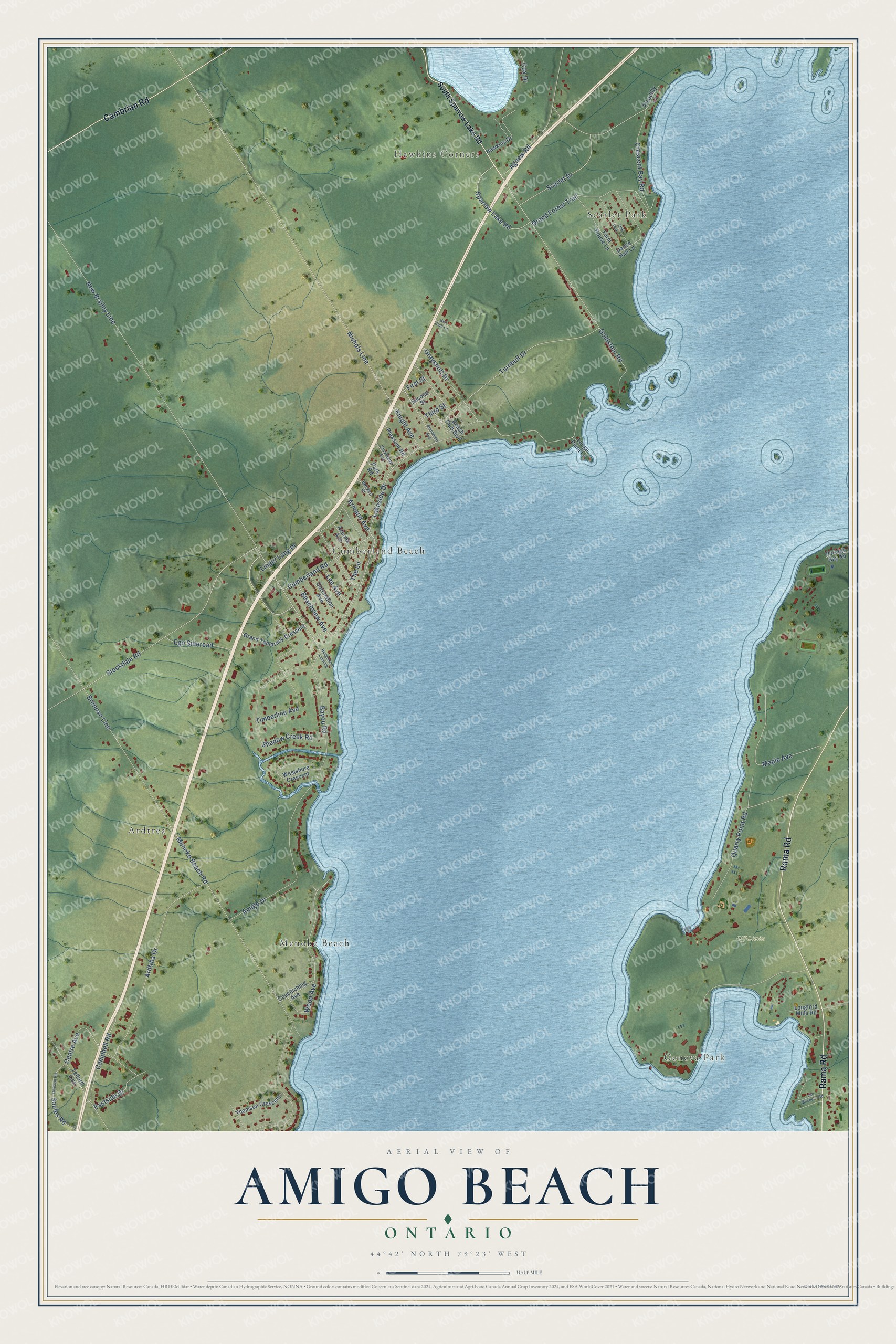
This beautifully detailed map of Amigo Beach, Ontario was created in 2026 using aerial imagery combined with modern topographical, census, street and landmark data. It’s a one-of-a-kind view of Amigo Beach that combines accurate data with a vintage aesthetic. The map shows every building in its true location, many of the roads carry their names, and the shaded topographic relief shows the shape of the land.
Explore an aerial view of Amigo Beach, Ontario
On the map you’ll find Geneva Park, Hawkins Corners, Scarlet Park, Off-Limits, Ardtrea, Menoke Beach, Cumberland Beach, and New Brailey Line, along with Rama Road, Cambrian Road, Bayou Road, Lakeside Drive, and more. If you look closely you can even find your house accurately drawn in its correct location. Zoom in on the preview to look for yours.
Take a closer look at the Amigo Beach map
Names on this map
These names are printed on this map.
Places: Geneva Park, Hawkins Corners, Scarlet Park, Off-Limits, Ardtrea, Menoke Beach and Cumberland Beach.
Streets and roads: Rama Road, Cambrian Road, Bayou Road, New Brailey Line, Lakeside Drive, Goldstein Road, Sparrow Lake Road, Third Street, Cumberland Road, Menoke Beach Road, Turnbull Drive, Beachview Avenue.
More street names, A to Z
Agnew Road, Amigo Drive, Ardtrea Drive, Armand Avenue, Azcona Avenue, Beach Club Boulevard, Beckett Place, Bramshott Avenue, Brennan Line, Campbell Road, Centre Avenue, Cleveland Avenue, Coronation Avenue, Couchiching Avenue, Cox Drive, Crescent Bay Road, Dance Hall Lane, Division Road, Eastside Drive, Ego Sideroad, Farm House Lane, First Street, Grand Forest Trail, Grand Tamarack Crescent, Grayshott Drive, Gun Club Lane, Hawkins Drive, Hedgemere Landing, Jim Mitchells Road, Knight Avenue, Lee Avenue, Linger Long Place, Longford Mills Road, Lunge Point Lane, Maple Avenue, Nichols Line, Oak Park Lane, Park Road, Picadilly Lane, Pleasant Road, Portage Bay Road, Quarry Point Road, Scarlet Drive, Second Street, Shadow Creek Road, Soules Road, South Sparrow Lake Road, Stockdale Road, Telford Line, The Lane, Thomson Crescent, Timberline Avenue, Westshore Crescent, Wood Avenue.
See it on a wall
The Amigo Beach map as an 18 x 24 inch print in a black frame.

This beautifully detailed map of Amigo Beach makes an attractive addition to your office, library, or den, and it can even be used to teach children the geography and history of the area. It also makes a great gift for anyone with Amigo Beach roots. When you’re done exploring, click here to get your copy of the Amigo Beach map.