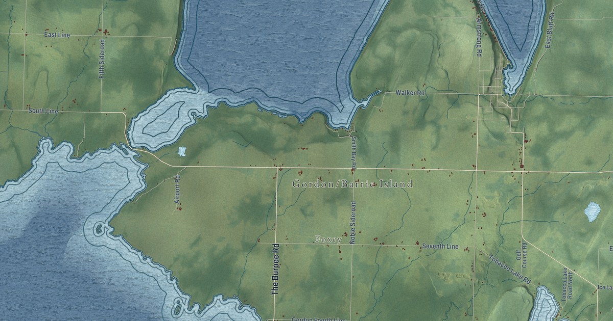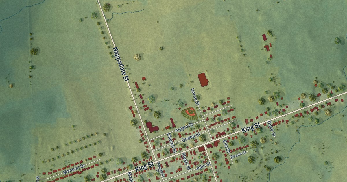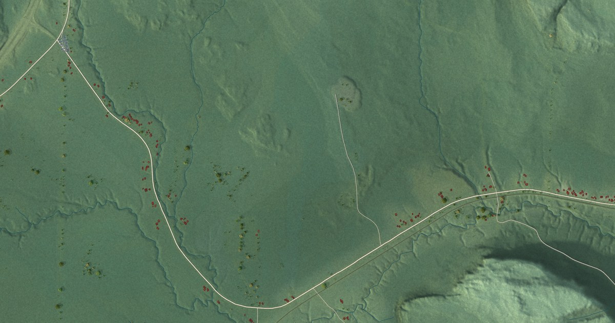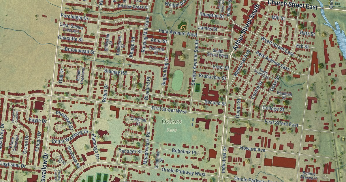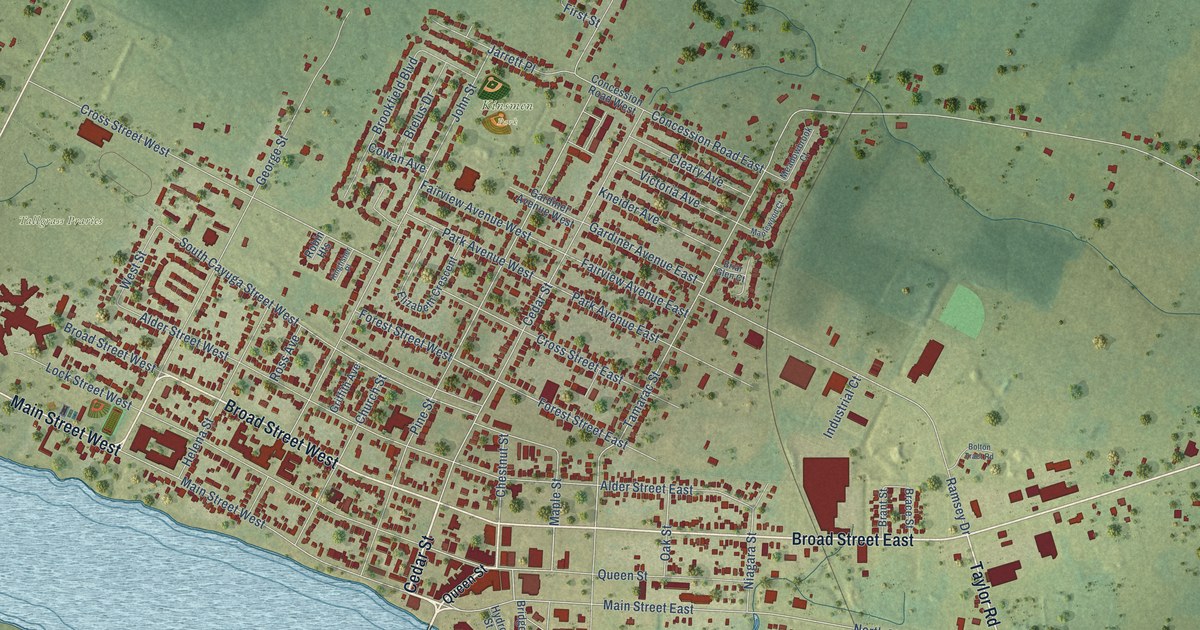
This beautifully detailed map of Dunnville, Ontario was created in 2026 using aerial imagery combined with modern topographical, census, street and landmark data. It’s a one-of-a-kind view of Dunnville that combines accurate data with a vintage aesthetic. The map shows every building in its true location, many of the roads carry their names, and the shaded topographic relief shows the shape of the land.
Explore an aerial view of Dunnville, Ontario
On the map you’ll find Byng, Tallgrass Praries, Kinsmen Park, and Haldimand Road 20, along with Rainham Road, Cedar Street, Broad Street East, Broad Street West, North Shore Drive, Main Street West, Port Maitland Road, Taylor Road, and more. If you look closely you can even find your house accurately drawn in its correct location. Zoom in on the preview to look for yours.
Take a closer look at the Dunnville map
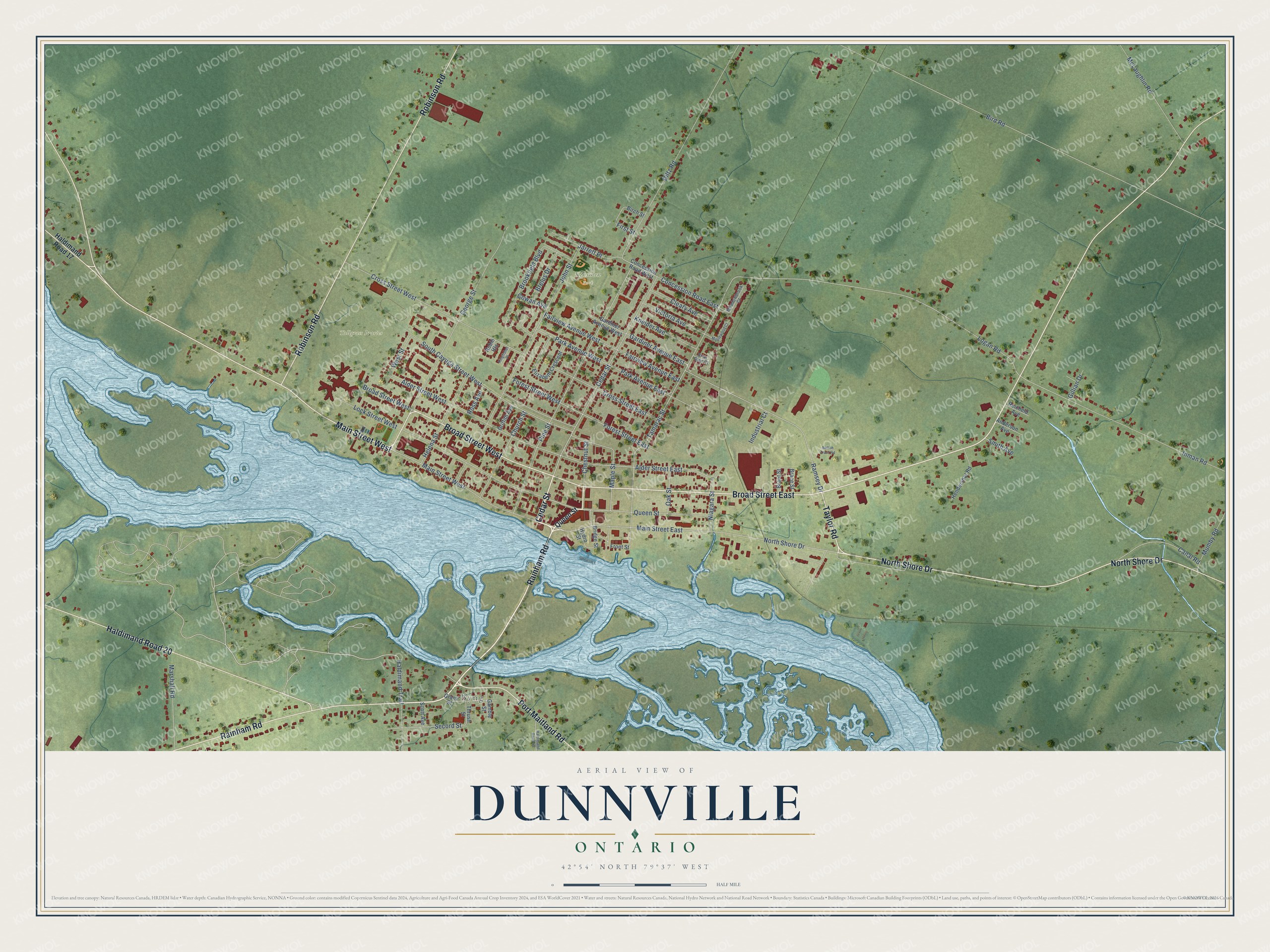
Names on this map
These names are printed on this map.
Places: Byng, Tallgrass Praries and Kinsmen Park.
Streets and roads: Rainham Road, Cedar Street, Broad Street East, Broad Street West, North Shore Drive, Main Street West, Port Maitland Road, Taylor Road, Haldimand Road 20, Robinson Road, Haldimand Trail, Queen Street.
More street names, A to Z
Alder Street East, Alder Street West, Anderson Avenue, Birch Street, Bird Road, Bolton Tract Road, Brace Street, Brant Street, Brelus Drive, Briar Glen Court, Bridge Street, Brookfield Boulevard, Canal Road, Chestnut Street, Church Street, Cleary Avenue, Concession Road East, Concession Road West, Cowan Avenue, Cross Street East, Cross Street West, Diltz Road, Elizabeth Crescent, Fairview Avenue East, Fairview Avenue West, First Street, Forest Street East, Forest Street West, Front Street, Gamble Street, Gardiner Avenue East, Gardiner Avenue West, George Street, Gillian Drive, Grant Street, Griffith Avenue, Haldimand Road 17, Haldimand Road 48, Helena Street, Hendershot Road, Hydro Street, Industrial Court, Inman Road, Jarrett Place, John Street, Kingfisher Place, Kneider Avenue, Lock Street West, Logan Road, Main Street East, Maple Street, Maplewood Court, Marshall Road, McLaughlin Road, Meadowbrook Court, Mumby Road, Niagara Street, Oak Street, Park Avenue East, Park Avenue West, Pine Street, Ramsey Drive, Reicheld Avenue, Robin Heights, Ross Avenue, Scott Avenue, Secord Street, Smith Avenue, South Cayuga Street West, Tamarac Street, Thrush Street, Victoria Avenue, West Street.
See it on a wall
The Dunnville map as an 18 x 24 inch print in a black frame.

This beautifully detailed map of Dunnville makes an attractive addition to your office, library, or den, and it can even be used to teach children the geography and history of the area. It also makes a great gift for someone who left Dunnville and still calls it home. When you’re done exploring, click here to get your copy of the Dunnville map.