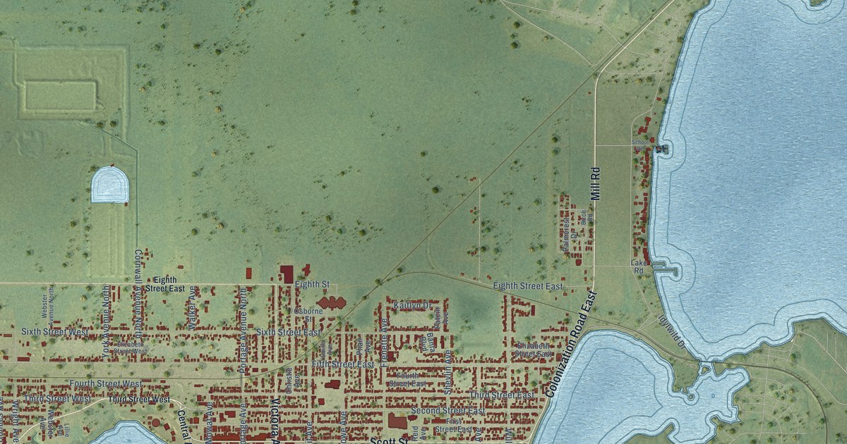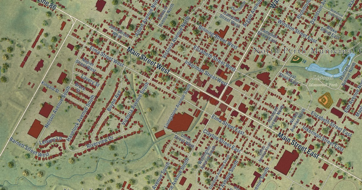
This beautifully detailed map of Listowel, Ontario was created in 2026 using aerial imagery combined with modern topographical, census, street and landmark data. It’s a one-of-a-kind view of Listowel that combines accurate data with a vintage aesthetic. The map shows every building in its true location, many of the roads carry their names, and the shaded topographic relief shows the shape of the land.
Explore an aerial view of Listowel, Ontario
On the map you’ll find North Perth Municipal Office, North Perth, Listowel Memorial Park, Listowel Golf Club, and Perth Line 86, along with Wallace Avenue North, Main Street West, Main Street East, Mitchell Road South, Wallace Avenue South, Davidson Avenue North, Victoria Avenue South, and more. If you look closely you can even find your house accurately drawn in its correct location. Zoom in on the preview to look for yours.
Take a closer look at the Listowel map
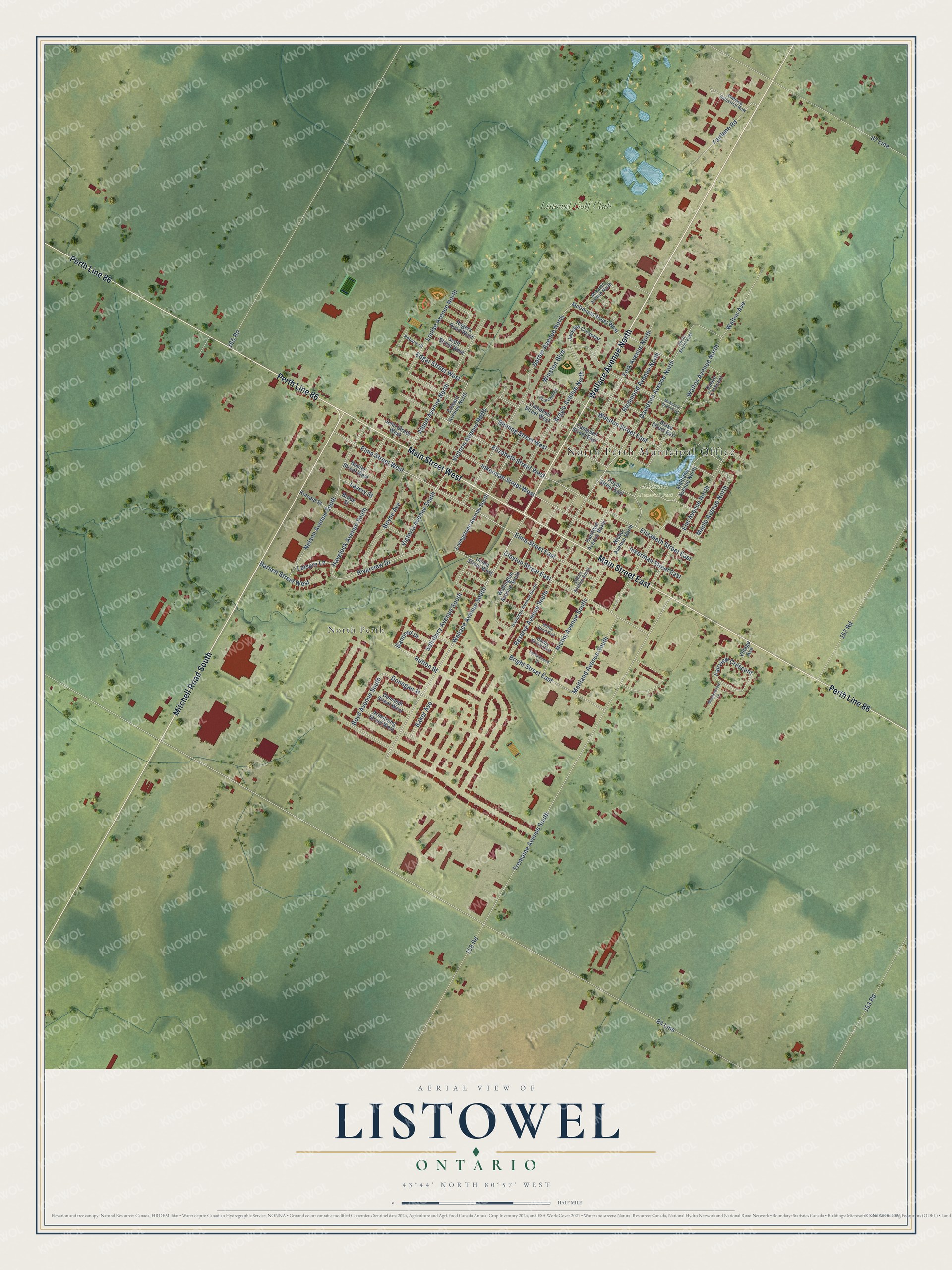
Names on this map
These names are printed on this map.
Places: North Perth Municipal Office, North Perth, Listowel Memorial Park and Listowel Golf Club.
Streets and roads: Wallace Avenue North, Main Street West, Main Street East, Perth Line 86, Mitchell Road South, Wallace Avenue South, Davidson Avenue North, Victoria Avenue South, Elma Street East, Victoria Avenue North, Elizabeth Street West, Elma Street West.
More street names, A to Z
84 Line, 87 Line, 153 Road, 157 Road, 158 Road, 165 Road, Albert Avenue North, Argyle Avenue North, Armstrong Street West, Baker Avenue, Bamford Drive, Barber Avenue North, Barnett Street West, Binning Street West, Blake Street East, Boyd Avenue South, Boyne Avenue, Bright Street East, Brock Street, Campbell Street East, Campbell Street West, Churchill Drive, Clayton Street East, Danby Street East, Davidson Avenue South, Denstedt Street West, Donegan Street, Edgar Street West, Edward Avenue North, Elizabeth Street East, Elm Avenue North, Fairlane Road, Fairview Crescent, Halstead Avenue North, Havelock Avenue South, Hutton Street, Inkerman Street East, Inkerman Street West, Jackson Crescent, John Street West, Kincaid Street, Lavery Street, Leisure Lane, Lillico Avenue South, Livingstone Avenue South, Louise Avenue North, Maitland Avenue North, Maitland Avenue South, Maple Avenue North, McDonald Street West, McKenzie Street East, McLaren Avenue North, Meadowview Lane, Mowat Street East, Napier Street West, Nelson Avenue South, Nichol Avenue North, Nichol Avenue South, Parkmeadow Place, Perkin Crescent, Reserve Avenue South, Rhine Street East, Richmond Avenue North, Riverview Drive, Robarts Court, Rogers Road West, Royal Street East, Salisbury Avenue South, Scott Street West, Tremaine Avenue South, Union Street West, Village Avenue, Wallace Industrial Row, Walton Avenue, Walton Avenue North, Wellington Avenue South, Winston Boulevard, Winston Street East, York Avenue North.
See it on a wall
The Listowel map as an 18 x 24 inch print in a black frame.

This beautifully detailed map of Listowel makes an attractive addition to your office, library, or den, and it can even be used to teach children the geography and history of the area. It also makes a great gift for anyone with Listowel roots. When you’re done exploring, click here to get your copy of the Listowel map.