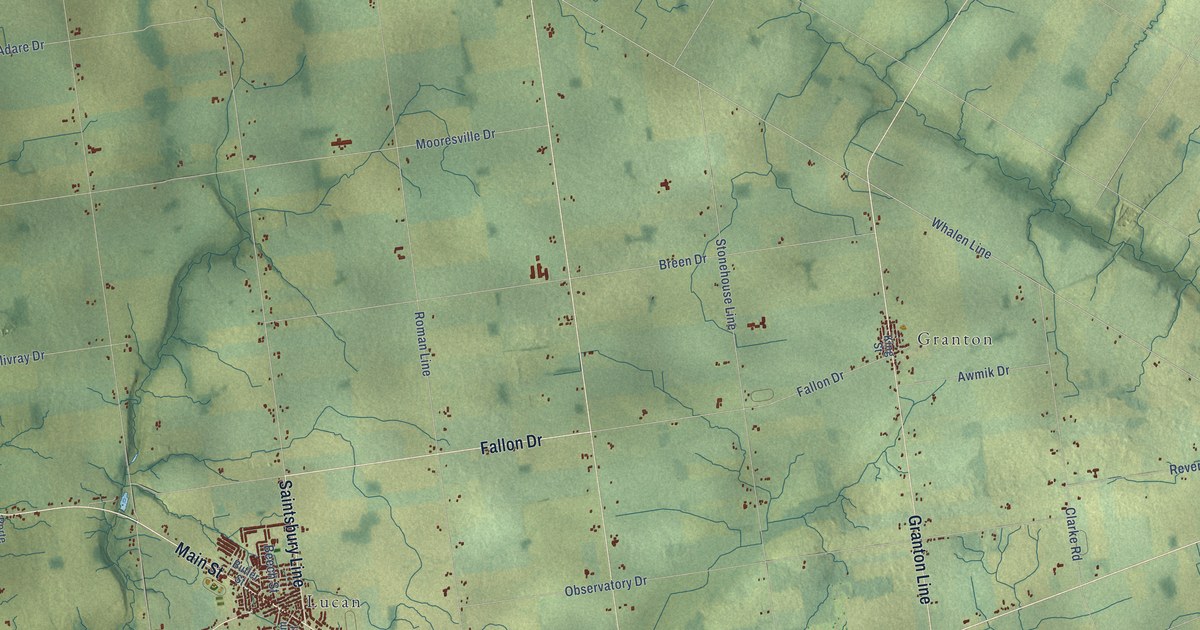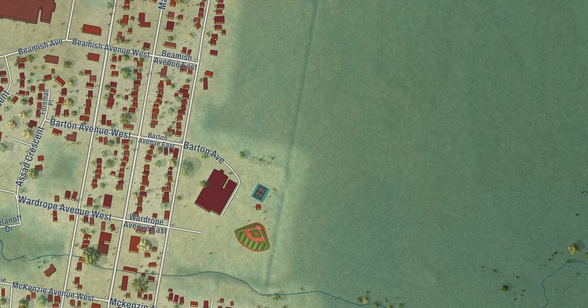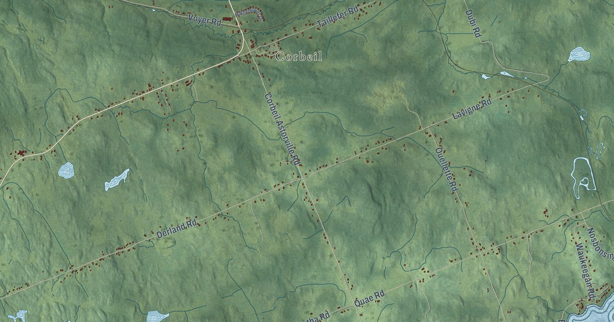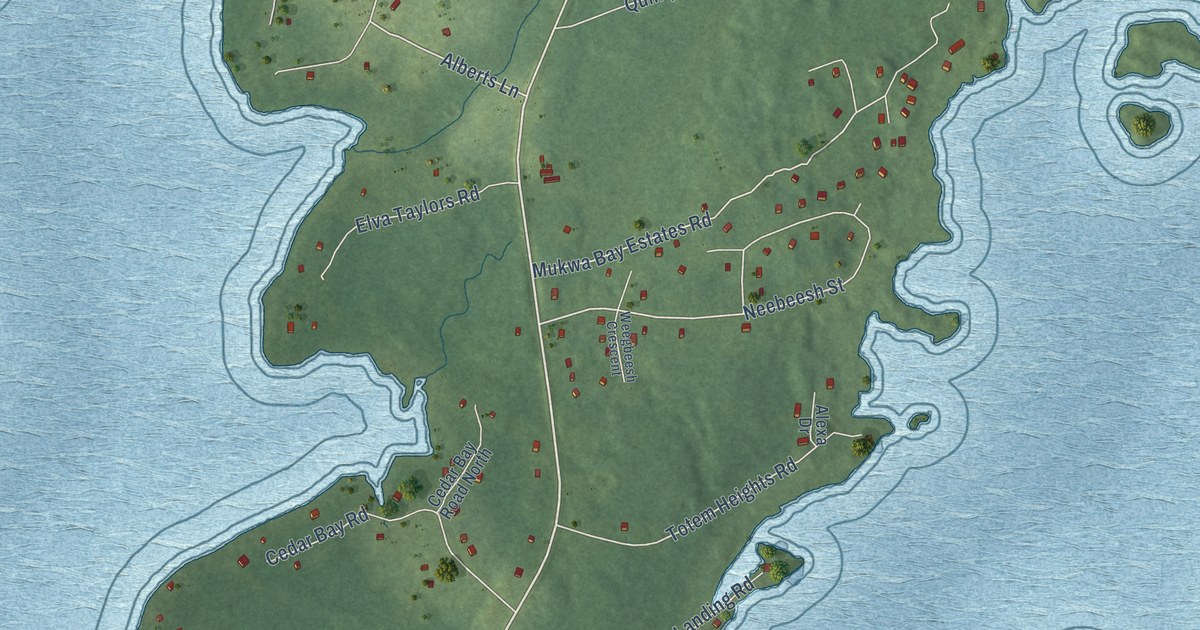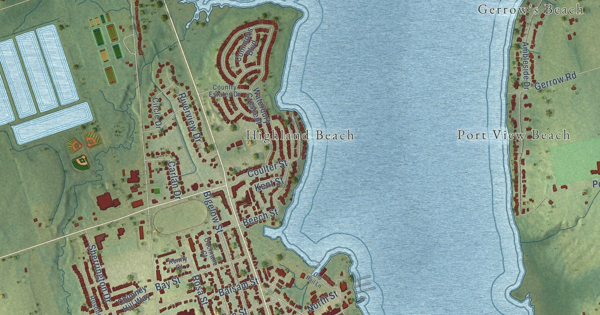
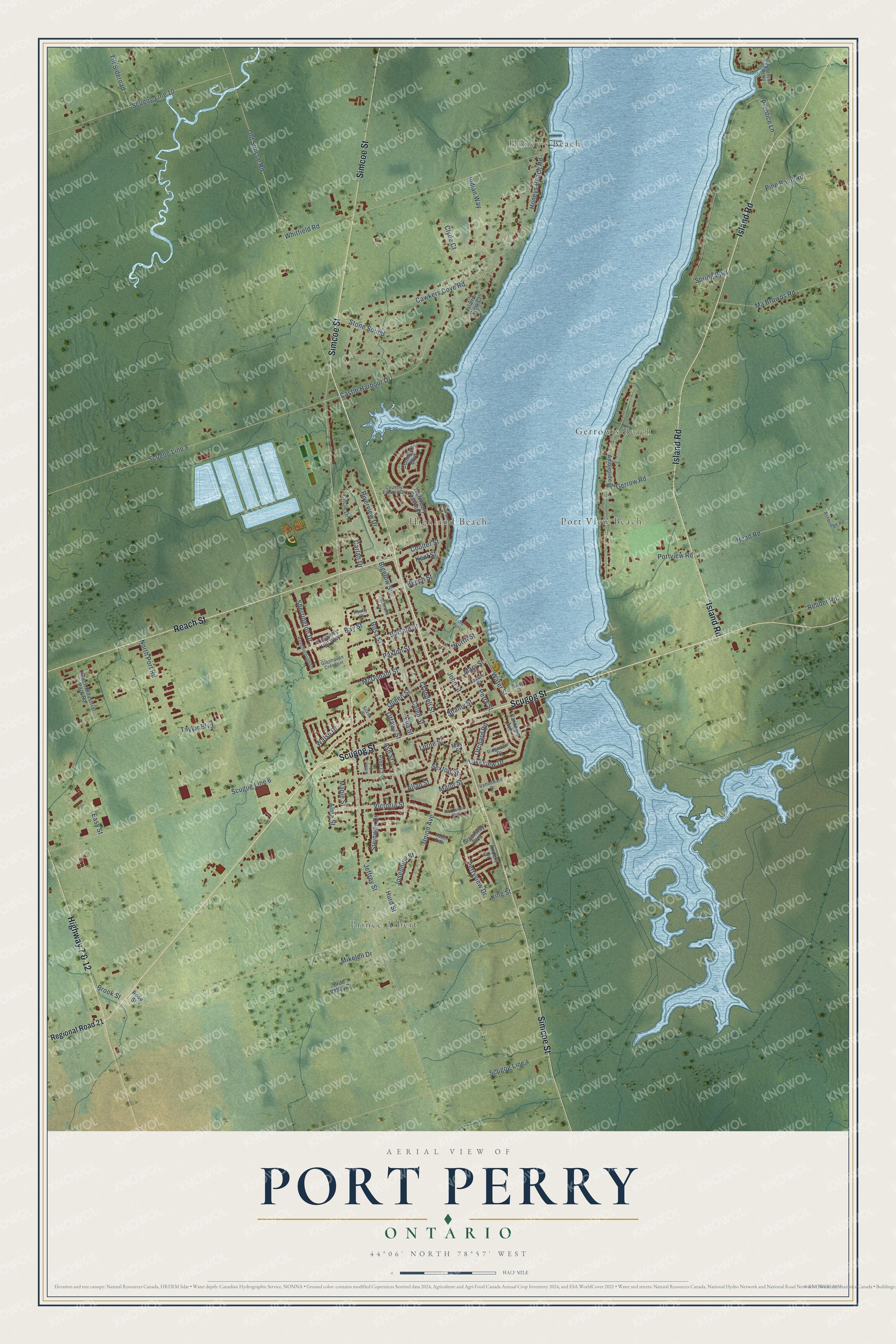
This beautifully detailed map of Port Perry, Ontario was created in 2026 using aerial imagery combined with modern topographical, census, street and landmark data. It’s a one-of-a-kind view of Port Perry that combines accurate data with a vintage aesthetic. The map shows every building in its true location, many of the roads carry their names, and the shaded topographic relief shows the shape of the land.
Explore an aerial view of Port Perry, Ontario
On the map you’ll find Honey’s Beach, Prince Albert, Gerrow’s Beach, Port View Beach, and Highland Beach, along with Simcoe Street, Scugog Street, Island Road, Reach Street, Highway 7 & 12, Old Simcoe Road, Perry Street, and more. Port Perry sits about 3 km west of Scugog, 5 km northeast of Manchester and 7 km southeast of Greenbank. If you look closely you can even find your house accurately drawn in its correct location. Zoom in on the preview to look for yours.
Take a closer look at the Port Perry map
Names on this map
These names are printed on this map.
Places: Honey's Beach, Prince Albert, Gerrow's Beach, Port View Beach and Highland Beach.
Streets and roads: Simcoe Street, Scugog Street, Island Road, Reach Street, Highway 7 & 12, Old Simcoe Road, Perry Street, Paxton Street, Scugog Line 8, Queen Street, Union Avenue, Ottawa Street.
More street names, A to Z
Allan Street, Alma Street, Ambleside Drive, Anders Drive, Ashbridge Road, Ash Street, Balsam Street, Bay Street, Beech Street, Bigelow Street, Brae Valley Court, Brook Street, Caleb Street, Carlan Drive, Carnegie Avenue, Casimir Street, Castle Harbour Drive, Cawkers Cove Road, Chimney Hill Way, Circle Drive, Clyde Court, Cochrane Court, Commons Boulevard, Coulter Street, Country Estates Drive, Crandell Street, Curts Street, Earl Cuddie Boulevard, Easy Street, Ella Street, Gerrow Road, Gibson Drive, Glenhaven Crescent, Greenway Boulevard, Head Road, Honeys Beach Road, Hurd Street, Indian Way, Island View Court, Jeffrey Street, John Street, Josephine Street, Kenny Court, Kent Street, King Street, Lakeview Drive, Lorne Street, Ma Browns Road, Major Street, Maple Street, Mary Street, May Street, McDonald Street, Mikelen Drive, North Port Road, North Street, Old Rail Lane, Orchard Road, Perryview Drive, Pine Court, Pine Point Road, Portview Road, Prentice Lane, Reach Industrial Park Road, Reader Road, Regional Road 21, Ridgeview Drive, Riverview Drive, Robin Trail, Rosa Street, Roseborough Drive, Rose Street, Scugog Line 4, Scugog Line 6, Scugog Line 10, Sexton Street, Shanly Street, Sherrington Drive, Silver Street, Spring Boulevard, Steinway Drive, Stephenson Point Road, Stone Sound, Taylor Boulevard, Till Sideroad, Vanedward Drive, Victoria Street, Walsh Drive, Waterbury Crescent, Water Street, Whitfield Road.
See it on a wall
The Port Perry map as an 18 x 24 inch print in a black frame.

This beautifully detailed map of Port Perry makes an attractive addition to your office, library, or den, and it can even be used to teach children the geography and history of the area. It also makes a great gift for someone who left Port Perry and still calls it home. When you’re done exploring, click here to get your copy of the Port Perry map.