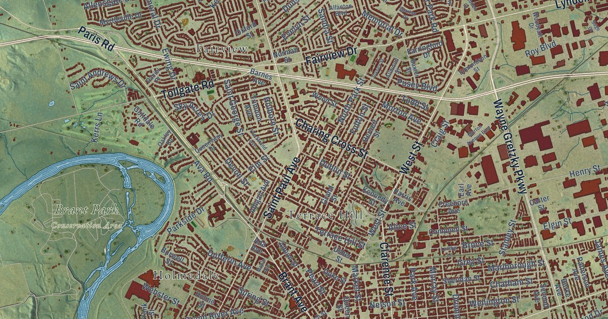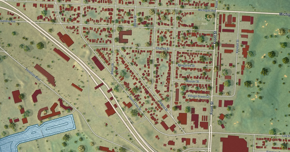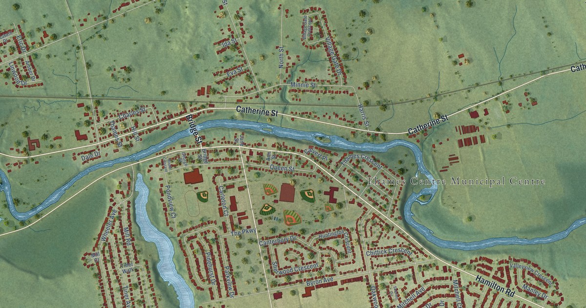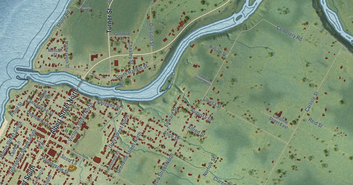
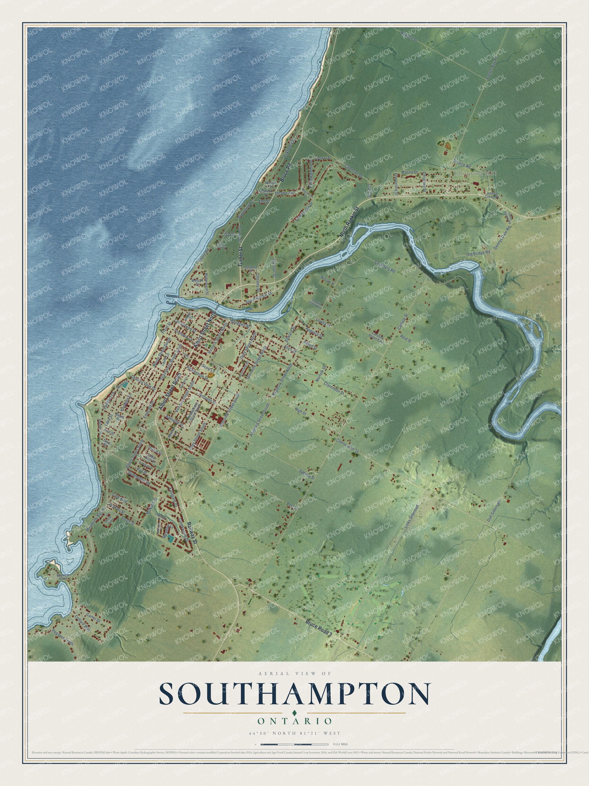
This beautifully detailed map of Southampton, Ontario was created in 2026 using aerial imagery combined with modern topographical, census, street and landmark data. It’s a one-of-a-kind view of Southampton that combines accurate data with a vintage aesthetic. The map shows every building in its true location, many of the roads carry their names, and the shaded topographic relief shows the shape of the land.
Explore an aerial view of Southampton, Ontario
On the map you’ll find Chippawa Hill and Bruce Road 3, along with North Rankin Street, Albert Street North, Albert Street South, Railway Street, Turner Street, Bruce Road, Clarendon Street, Saugeen Street, Huron Street South, McNabb Street, and more. If you look closely you can even find your house accurately drawn in its correct location. Zoom in on the preview to look for yours.
Take a closer look at the Southampton map
Names on this map
These names are printed on this map.
Places: Chippawa Hill.
Streets and roads: North Rankin Street, Albert Street North, Albert Street South, Railway Street, Turner Street, Bruce Road, Bruce Road 3, Clarendon Street, Saugeen Street, Huron Street South, McNabb Street, Alice Street.
More street names, A to Z
Adelaide Street, Alfred Street, Anglesia Street North, Anglesia Street South, Archibald Place, Augusta Street, Bay Street, Bayview Point, Beach Road, Belcher Lane, Birch Trail, Blanchfield Road, Breadalbane Street South, Burns Lane, Cameron Drive, Carlisle Street, Caroline Street East, Caroline Street West, Carter Drive, Cedar Bush Drive, Cemetery Road, Chantry View Drive, Chesley Street, Christine Street, Cole Boulevard, Collard Way, Concession 14, Copway Street, Craig Street, Creekwood Drive, Deer Run Court, Dennys Dam Road, Division Street, Doll Sideroad, Eastgate Drive, Eckford Avenue, Edward Street, Elm Street, Emerald Drive, First Street, French Bay Road, Front Street, Gosford Street, Grenville Street North, Grenville Street South, Grey Street North, Grey Street South, Grosvenor Street South, Harmer Street, Hemlock Street, High Street, Indian Agency Road, Island Street, Joshua Crescent, Kewageshig Street, Knechtel Lane, Knowles Lane, Laird Lane, Lakeside Drive, Lake Street, Lambert Lane, Lansdowne Street, Leeder Lane, Links Sideroad, Louisa Street, Madwayosh Street, Mason Drive, Meadow Lane, Metcalf Street, Miramichi Bay Road, Mississauga Street, Morpeth Street, Nantucket Place, Nawash Drive, Norfolk Street, Oak Street, Old Bridge Road, Ottawa Avenue, Palmerston Street, Peel Street, Pegasus Trails, Perkins Street, Pottawatomie Drive, Reid Street, Scott Lane, Service Road, Shore Road, South Rankin Street, South Street, Spence Street, Summerhill Road, Third Street, Thompson Lane, Tyendinaga Drive, Victoria Street North, Victoria Street South, Walnut Street, Water Street, William Street, Winchfield Road.
See it on a wall
The Southampton map as an 18 x 24 inch print in a black frame.

This beautifully detailed map of Southampton makes an attractive addition to your office, library, or den, and it can even be used to teach children the geography and history of the area. It also makes a great gift for anyone with Southampton roots. When you’re done exploring, click here to get your copy of the Southampton map.