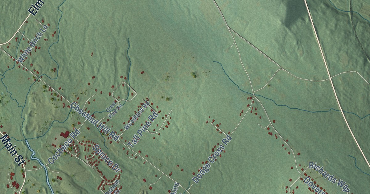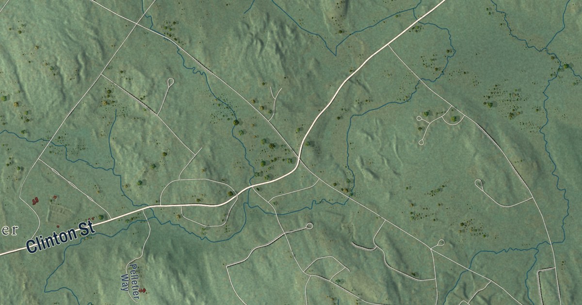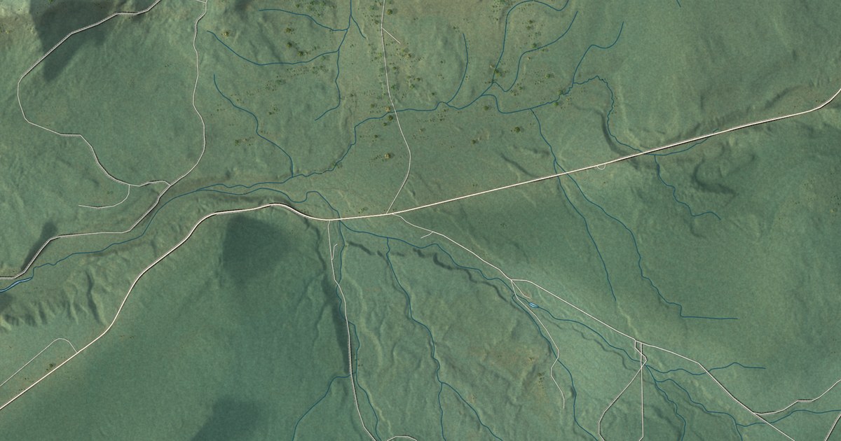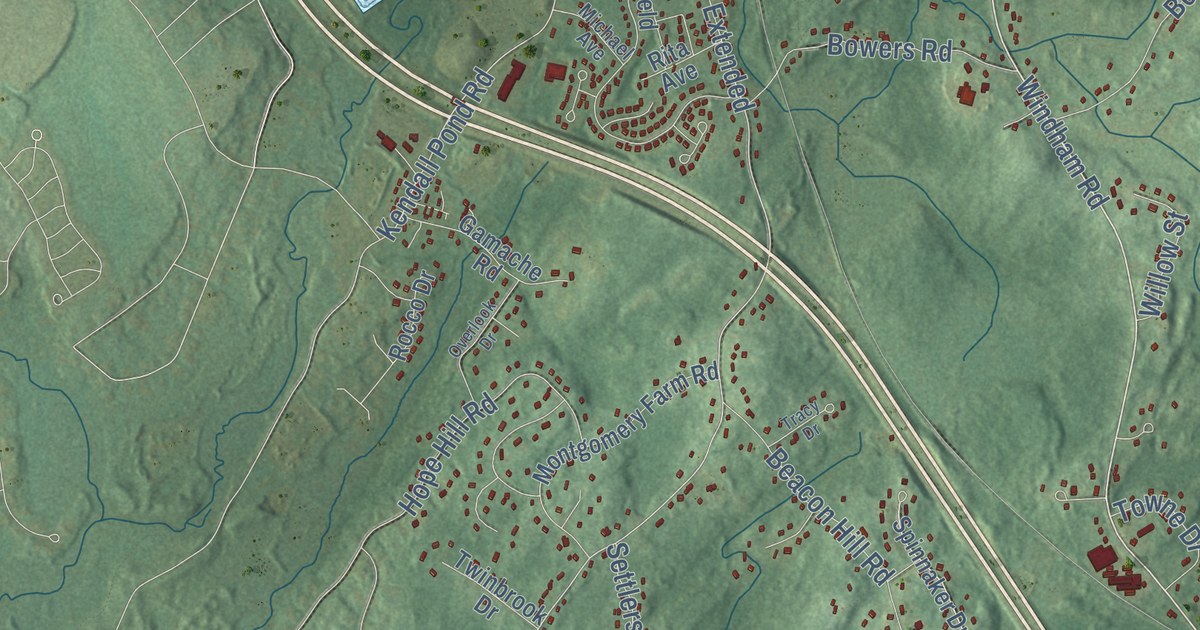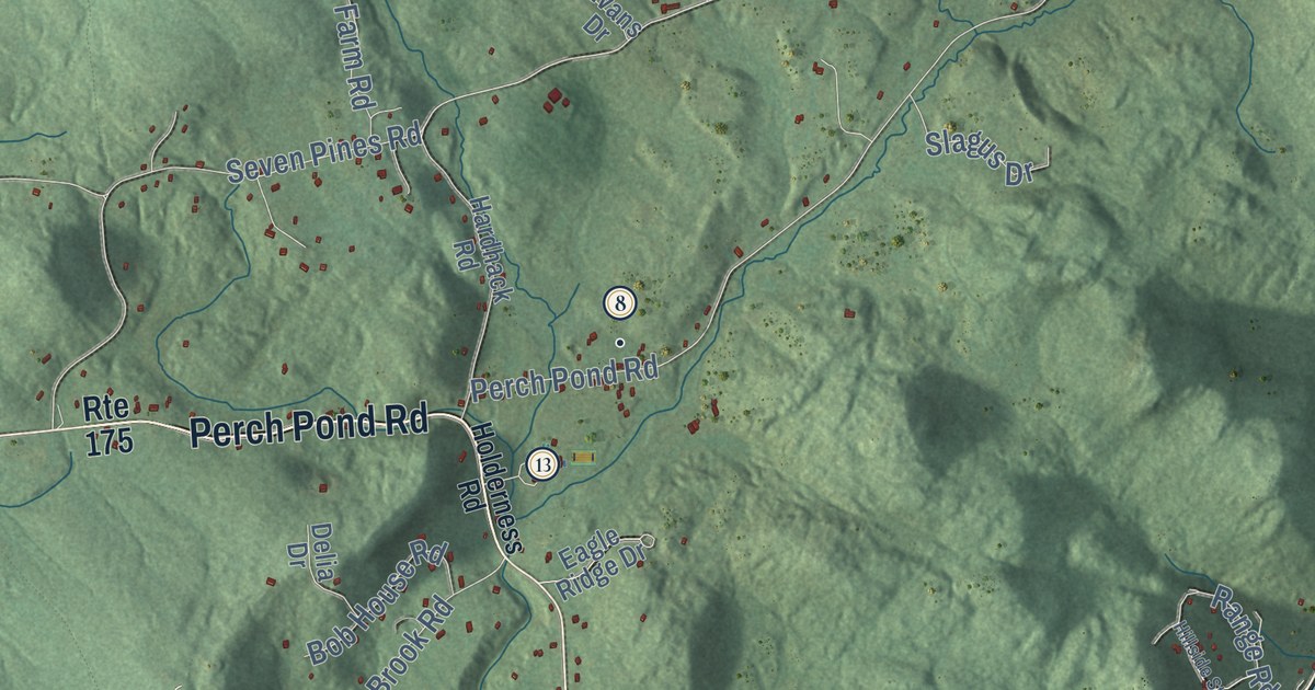
This beautifully detailed map of Holderness, New Hampshire was created in 2026 using aerial imagery combined with modern topographical, census, street and landmark data. It’s a one-of-a-kind view of Holderness that combines accurate data with a vintage aesthetic. The map shows every building in its true location, many of the roads carry their names, and the shaded topographic relief shows the shape of the land.
See it on a wall
The Holderness map as a framed print. Swipe for more.


Explore an aerial view of Holderness, New Hampshire
On the map you’ll find Downtown, East Holderness, Rockywold, Algonquin Point, Birch Island, Bowman Island, Chocorua Island, Burleigh, and Owl Brook Training Facility, along with Perch Pond Road, True Farm Road, Shepard Hill Road, and more. If you look closely you can even find your house accurately drawn in its correct location. Zoom in on the preview to look for yours.
Did You Know?
In 1751 the town was named for Robert Darcy, the 4th Earl of Holderness. War kept settlers away until after Quebec fell in 1759. The land was regranted in 1761 as New Holderness and settled in 1763. The word New was dropped in 1816.
Take a closer look at the Holderness map
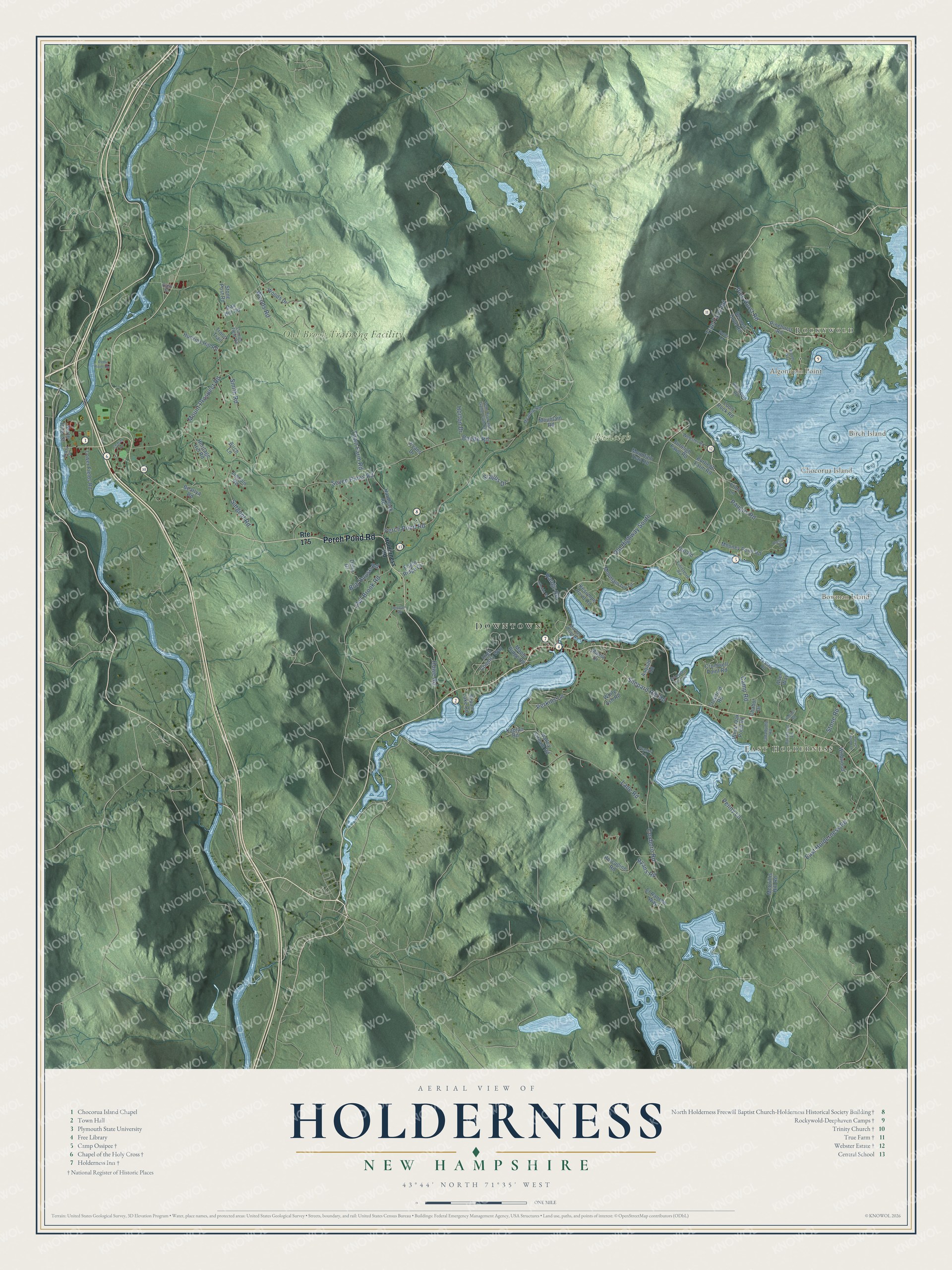
Click to explore a larger preview. The digital watermark does not appear on printed maps.
This beautifully detailed map of Holderness makes an attractive addition to your office, library, or den, and it can even be used to teach children the geography and history of the area. It also makes a great gift for someone who left Holderness and still calls it home. When you’re done exploring, click here to get your copy of the Holderness map.