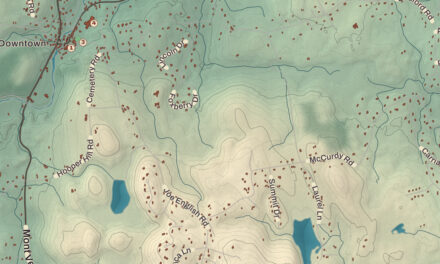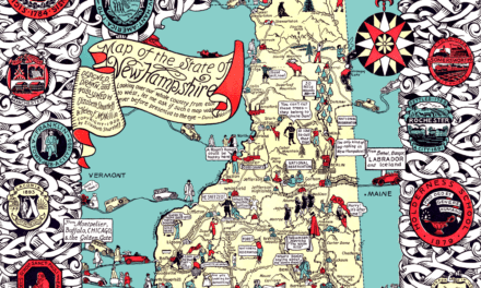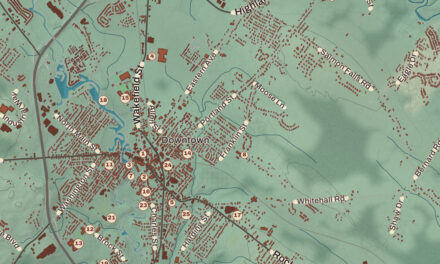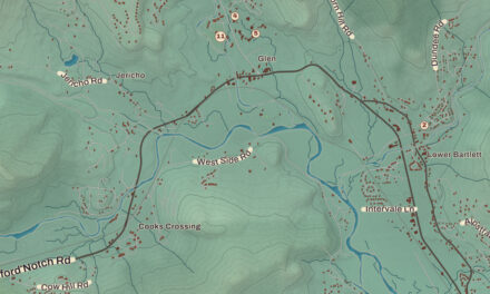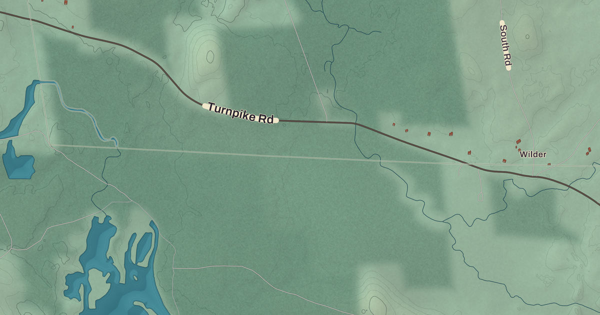
This beautifully designed map of Sharon, New Hampshire was created by KNOWOL in 2026. It shows the town and its streets as they look in the modern day, combining topographical data with the beautiful aesthetic of vintage atlases. The map was built from public survey records and professional geographic data that modern day cartographers rely on. The shaded terrain around Burton Peak and Holt Peak comes straight from United States Geological Survey elevation data, and every street name was taken from Census Bureau files, from Turnpike Road down to smaller roads such as Clark Road.
Local historical buildings and landmarks such as Brick Schoolhouse were confirmed against the National Park Service and the National Register of Historic Places, while local features such as Sharon Town Office, along with the paths, parks, and points of interest, come from OpenStreetMap, a database of local knowledge kept current by people who live in and know the area.
The combination of modern data with a vintage historical map aesthetic creates a one-of-a-kind piece made for people who call Sharon home. It is a memory of the town, as it is today. You can zoom in on the map below to explore the details, or click here to purchase a print for your home.
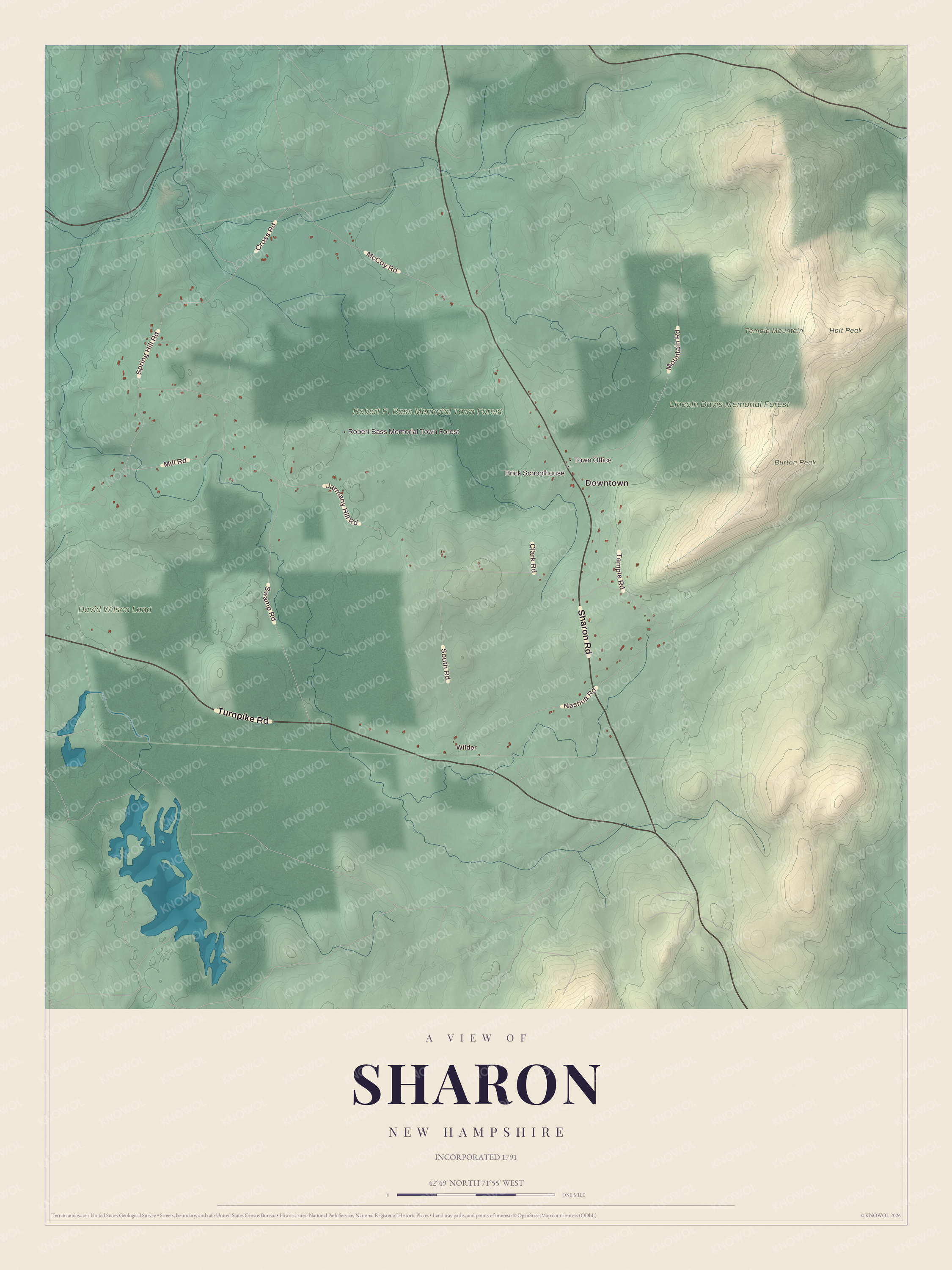
Map of Sharon, New Hampshire. Click the image for a larger watermarked preview.
The map features landmarks such as Brick Schoolhouse, Sharon Town Office, and Robert Bass Memorial Town Forest. It also depicts the town’s familiar geography from Downtown toward Wilder, with Burton Peak and Holt Peak giving shape to the landscape.
This beautiful map of Sharon makes an attractive addition to your office, library, or den and can even be used to teach children the geography and history of the area. When you’re done exploring, click here to get your copy of the restored map.