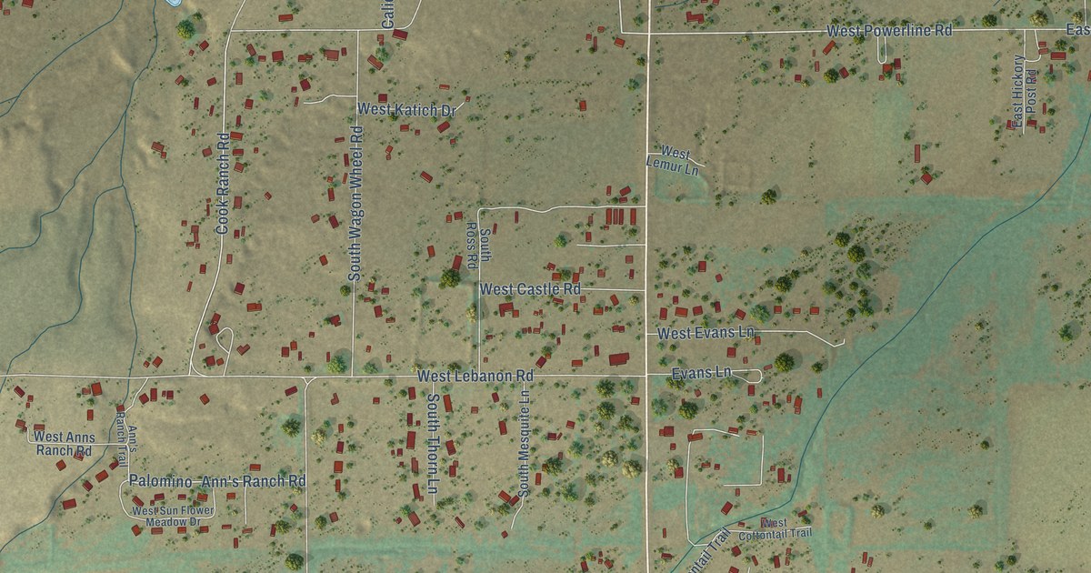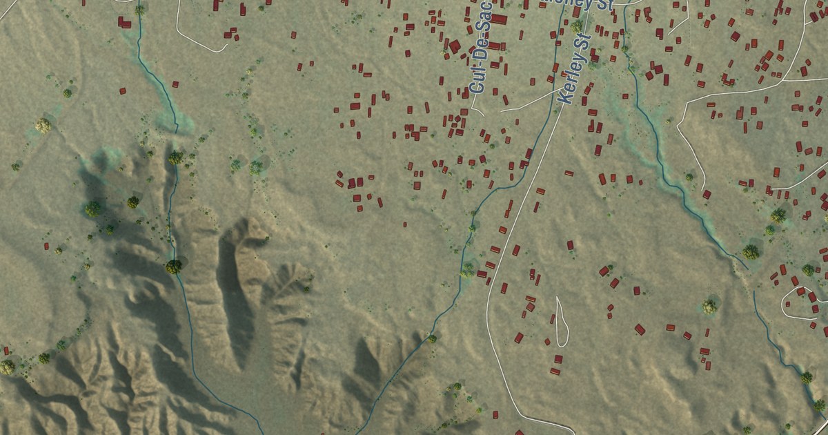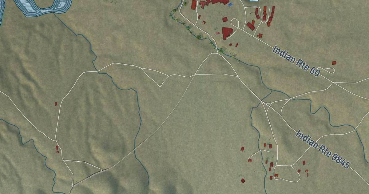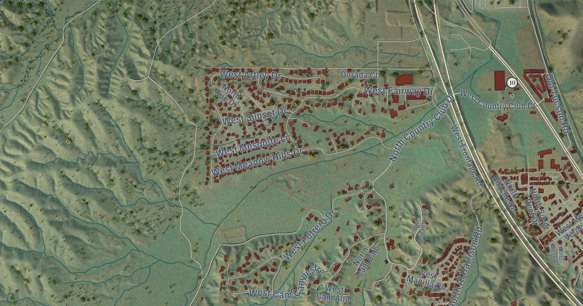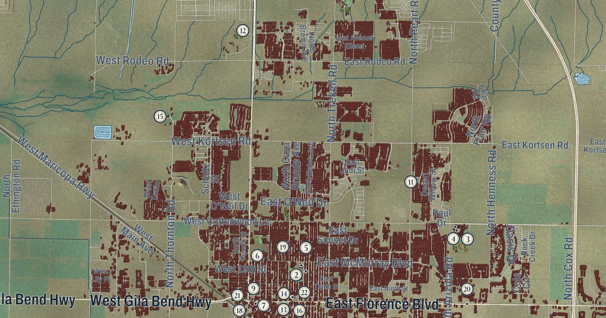
This beautifully detailed map of Casa Grande, Arizona was created in 2026 using aerial imagery combined with modern topographical, census, street and landmark data. It’s a one-of-a-kind view of Casa Grande that combines accurate data with a vintage aesthetic. The map shows every building in its true location, many of the roads carry their names, and the shaded topographic relief shows the shape of the land.
See the Casa Grande, Arizona map on a wall
The Casa Grande map as an 18 x 24 inch print in a black frame.

Explore an aerial view of Casa Grande, Arizona
On the map you’ll find Casa Grande City Hall and Bon, along with North Pinal Avenue, Casa Grande la Palma Highway, West Porphyry Street, East Florence Boulevard, Gila Bend Highway, West Gila Bend Highway, East Jimmie Kerr Boulevard, West Peters Road, East McCartney Road, North Thornton Road, and more. If you look closely you can even find your house accurately drawn in its correct location. Zoom in on the preview to look for yours.
Did you know this piece of Casa Grande, Arizona history?
Casa Grande began in January 1880 as Terminus, meaning end of the line, with five residents and three buildings. That September, railroad executives renamed it for nearby Hohokam ruins. Fires destroyed every wooden house in 1886 and again in 1893. The town nearly emptied when mining slowed, but farming saved it.
Take a closer look at the Casa Grande map
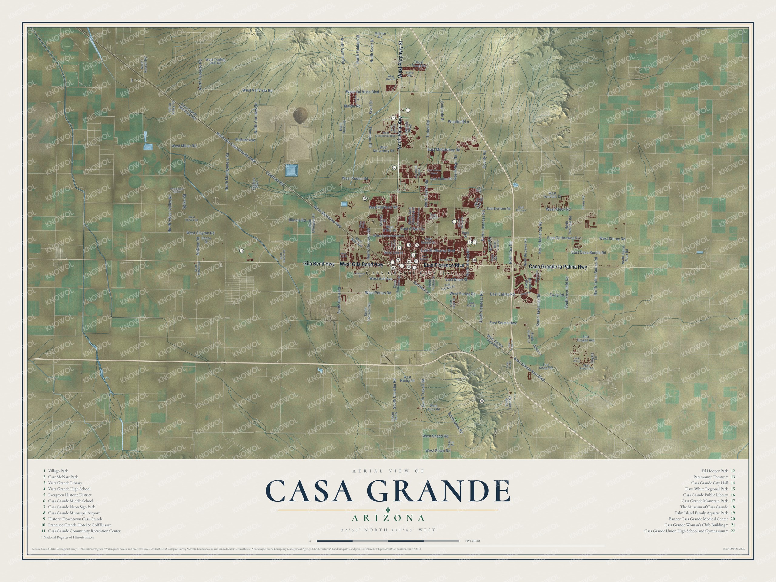
Click to explore a larger preview. The digital watermark does not appear on printed maps.
Street and place names on the Casa Grande, Arizona map
These names are printed on the map of Casa Grande, Arizona.
Places: Casa Grande City Hall and Bon.
Streets and roads: North Pinal Avenue, Casa Grande la Palma Highway, West Porphyry Street, East Florence Boulevard, Gila Bend Highway, West Gila Bend Highway, East Jimmie Kerr Boulevard, West Peters Road, East McCartney Road, North Thornton Road, Terkell Road, Colorado Street.
More street names, A to Z
Bellvue Avenue, Bobcat Way, Boone Drive, Casa Grande - Maricopa Highway, Cochise Boulevard, Cole Circle, County Road, Cowtown Road, Coyote Lane, Desert Willow Street, Dusty Lane, Earley Road, Early Road, East Avenue Ellena, East Casa Bonita Road, East Cottonwood Lane, East Doan Street, East Earley Road, East Grogan Avenue, East Judi Street, East Kiwi Street, East Kortsen, East Kortsen Road, East Main Street, East McMurray Boulevard, East Mopar Drive, East Ninth Street, East O'Neil Drive, East Rodeo Road, East Selma Highway, East Sunset Drive, East Tanger Drive, East Tenth Street, East Tuscany Street, Evens Road, Faldale Road, Friar Road, Ghost Ranch Road, Illinois Road, Indian Route 15, Indian Valley Road, Jack Pot Lane, Lakeside Parkway, Lawrence Street, Maricopa-Casa Grande Highway, Martin Road, Midway Road, Millrise Road, Mission Parkway, North Agua Fria Lane, North Arizola Road, North Bianco Road, North Biscayne Road, North Brown Avenue, North Buris Road, North Burris Road, North Casa Grande Avenue, North Corrales Road, North Cox Road, North Ethington Road, North Faldale Road, North French Street, North Friar Road, North Hacienda Road, North Henness Road, North Indian Valley Road, North Kadota Avenue, North Lear Avenue, North Montgomery Road, North Overfield Road, North Papoose Road, North Peart Road, North Pueblo Drive, North Russell Road, North Scott Drive, North Signal Peak Road, North Toltec Buttes Road, North Trekell Road, Oasis Drive, Paul Drive, Peart Road, Rock Creek Drive, Schultz Street, Scott Drive, South Burris Road, South Chuichu Road, South Cox Road, South Dusty Lane, South Florence Street, South Hacienda Road, South Henness Road, South Isom Road, South Lamb Road, South Midway Road, South Overfield Road, South Peart Road, South Thornton Road, South Trekell Road, Spike Road, Thornton Road, West 13th Street, West Arica Road, West Ash Avenue, West Centennial Boulevard, West Clayton Road, West Cottonwood Lane, West Earley Road, West Golden Hills Drive, West Hanna Road, West Hopi Drive, West Illinois Road, West Jimmie Kerr Boulevard, West Kleck Road, West Kortsen Road, West Lily Place, West Main Avenue, West Maricopa Highway, West McCartney Road, West Miller Road, West O'Neil Drive, West Overfield Drive, West Provo Road, West Rodeo Road, West Ropers Road, West Shedd Road, West Storey Road, West Tonto, West Trading Post Road, West Val Vista Boulevard, West Val Vista Road, Woodruff Lane.
This beautifully detailed map of Casa Grande makes an attractive addition to your office, library, or den, and it can even be used to teach children the geography and history of the area. It also makes a great gift for someone who left Casa Grande and still calls it home. When you’re done exploring, click here to get your copy of the Casa Grande map.