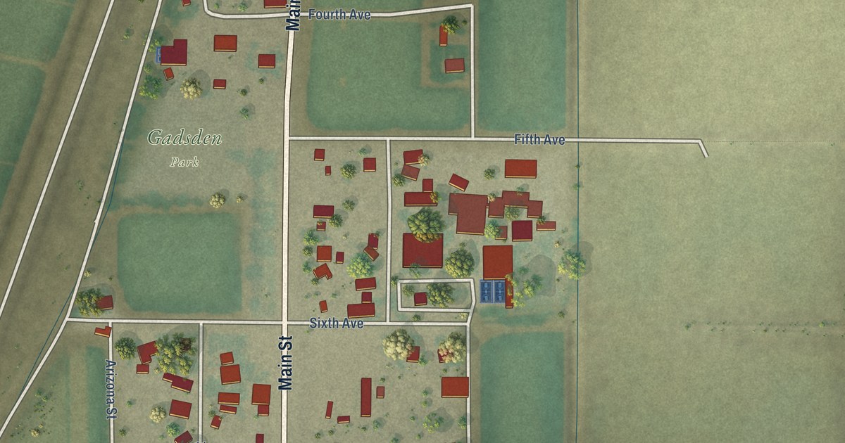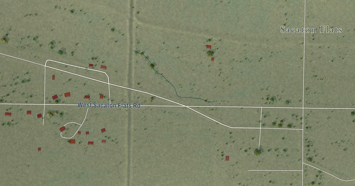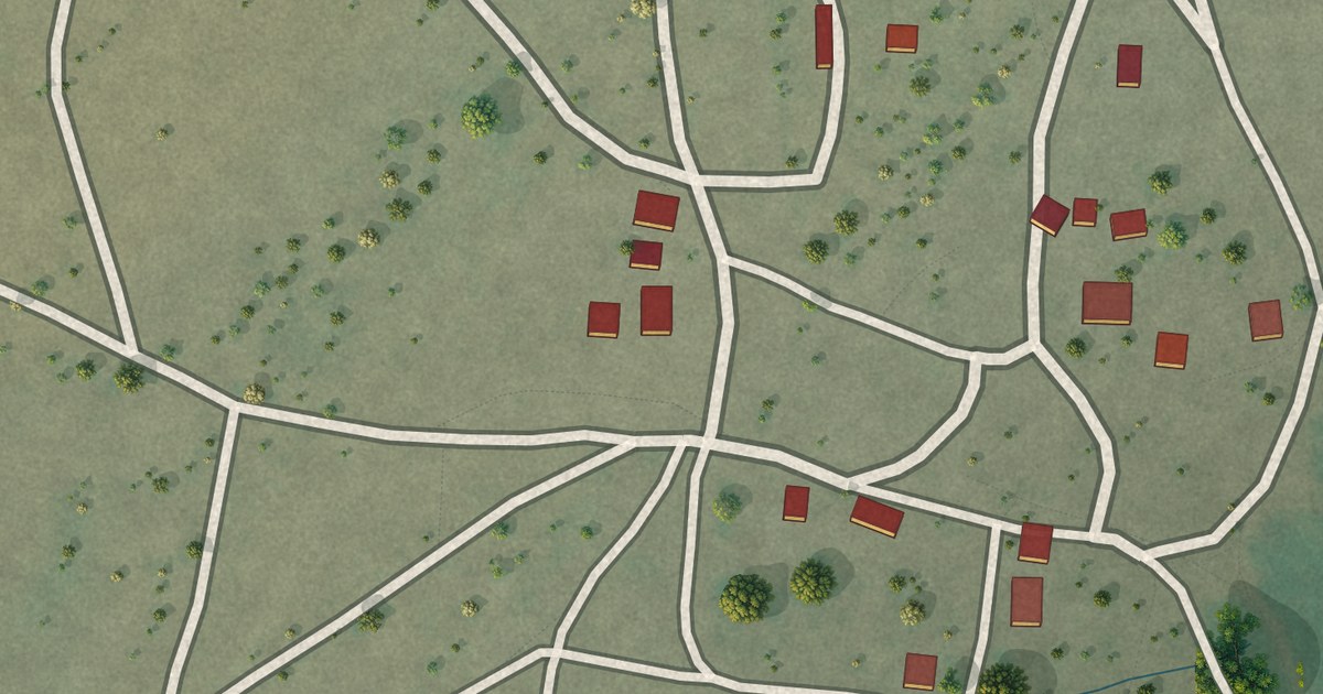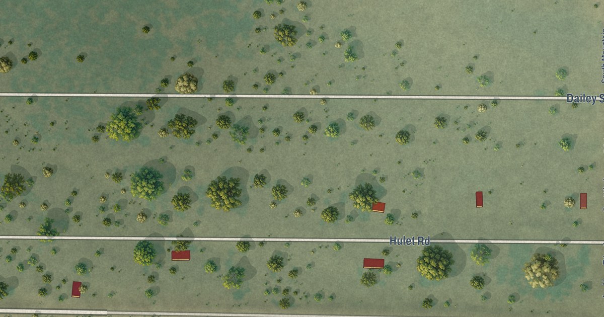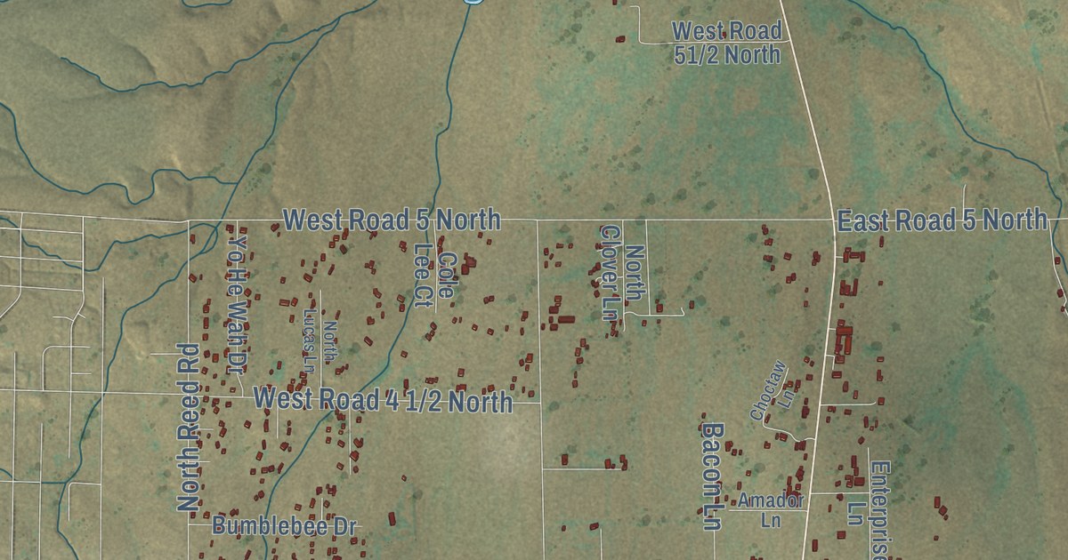
This beautifully detailed map of Chino Valley, Arizona was created in 2026 using aerial imagery combined with modern topographical, census, street and landmark data. It’s a one-of-a-kind view of Chino Valley that combines accurate data with a vintage aesthetic. The map shows every building in its true location, many of the roads carry their names, and the shaded topographic relief shows the shape of the land.
See the Chino Valley, Arizona map on a wall
The Chino Valley map as an 18 x 24 inch print in a black frame.

Explore an aerial view of Chino Valley, Arizona
On the map you’ll find Chino Valley Town Hall, Del Rio, East Road 2 South, West Road 3 North, and East Road 4 South, along with Forest Service 354 Road, East Perkinsville Road, South Fire Sky Lane, North Firesky Lane, South Reed Road, Nick Trail, Rodeo Drive, and more. If you look closely you can even find your house accurately drawn in its correct location. Zoom in on the preview to look for yours.
Did you know this piece of Chino Valley, Arizona history?
Chino Valley served as the first territorial capital of Arizona. In 1864 the seat of government moved 15 miles to Prescott. Cavalry officer Amiel W. Whipple named the area while passing through in 1854. Chino is the Spanish name for the curly grama grass that grows here.
Take a closer look at the Chino Valley map
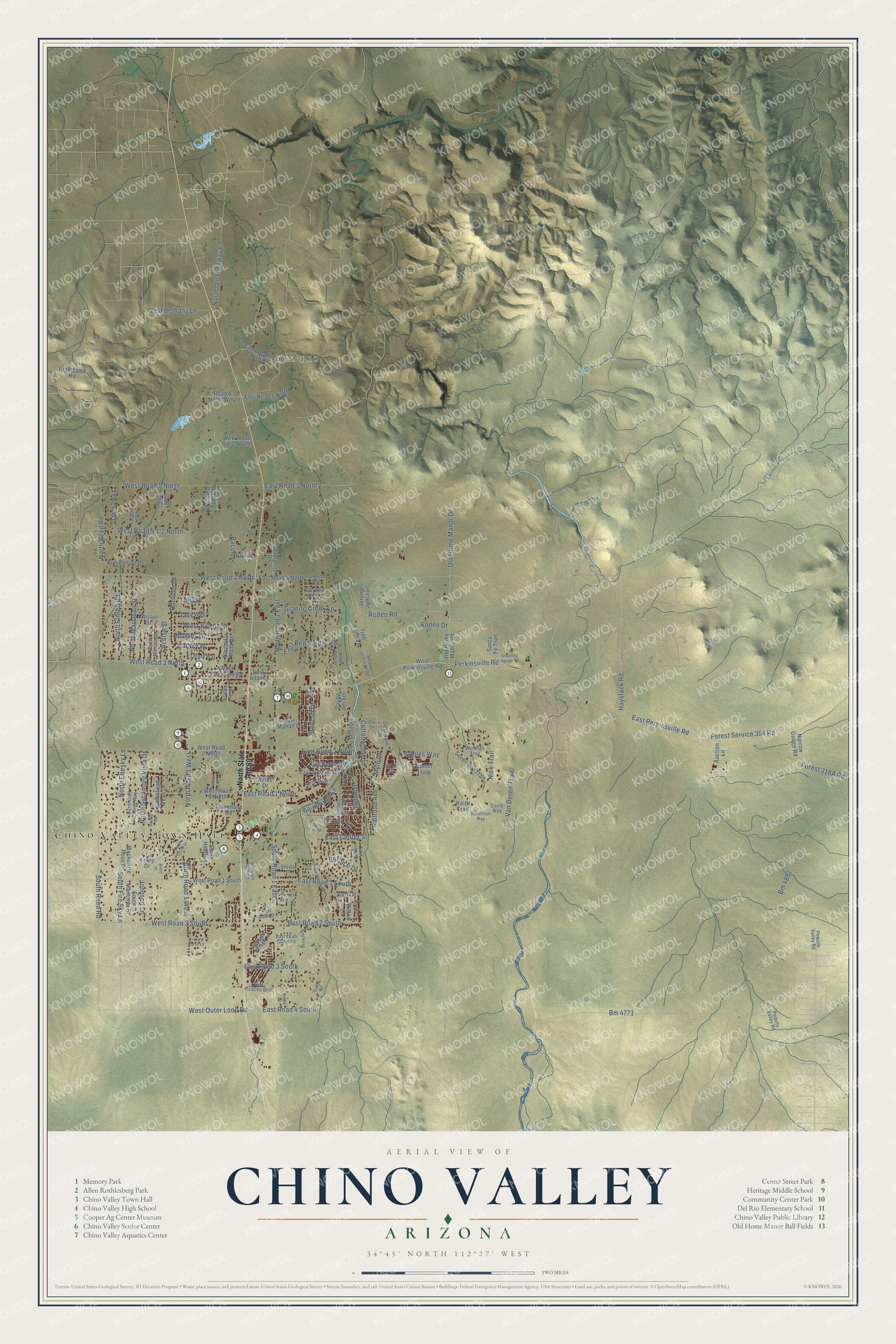
Click to explore a larger preview. The digital watermark does not appear on printed maps.
Street and place names on the Chino Valley, Arizona map
These names are printed on the map of Chino Valley, Arizona.
Places: Chino Valley Town Hall and Del Rio.
Streets and roads: Forest Service 354 Road, East Perkinsville Road, South Fire Sky Lane, North Firesky Lane, South Reed Road, East Road 2 South, West Road 3 North, East Road 4 South, Nick Trail, Rodeo Drive, Tiffany Place, Rodeo Road.
More street names, A to Z
Amador Lane, Ash Drive, Auction Lane, Aztec Drive, Bacon Lane, Bainbridge Lane, Bernice Drive, Bisjak Lane, Bm 4771, Bm 4882, Brent Drive, Bumblebee Drive, Cactus Wren Drive, Choctaw Lane, Cochise Street, Cole Lee Court, Colorado Way, Comet Loop, Cottonwood Lane, David Way, Delaware Drive, Del Rio Road, East Adair Drive, East Adams, East Center Street, East Del Rio Ranch Road, East El Valle Drive, East Juniper Drive, East Leah Marie Lane, East Liana Drive, East Mahan Lane, East New York Place, East Picacho Boulevard, East Red Cinder Road, East Road 1 North, East Road 1 South, East Road 2 North, East Road 3 South, East Road 4 North, East Road 5 North, East Road 6 North, Elk Drive, Emily Drive, Enterprise Lane, Fox Road, Gables Way, Granite Creek Lane, Grove Lane, Harrison Drive, Haystack Road, Heather Lane, Homestead Mesa Drive, Jerome Junction, Jerome Junction Road, Johnson Farm Lane, Johnson Lane, Judy Avenue, Kaibab Lane, Keith Trail, Kendall Court, Liberty Lane, Mackenzie Rose Drive, Maple Lane, Mylo Drive, Narrow Guage Road, Navajo Street, Nighthawk Road, North Angus Place, North Clover Lane, North Deer Drive, North Eldred Road, North Gold Rush Way, North Lucas Lane, North Maricopa Street, North Mohave Street, North Old Highway 89, North Reed Road, North Road 1 East, North Road 1 West, North State Route 89, North Sycamore Vista Drive, North Val Vista Drive, Old Home Manor Drive, Old Home Manor Road, Outlaw Road, Palo Verde Drive, Parkside Village Drive, Perkinsville Road, Poquita Valley Road, Poquito Valley Road, Prescott Drive, Railroad Avenue, Road 6 North West, Robertson Way, Rocking Horse Lane, Ruth Road, Salida del Sol, Santa Fe Trail, Seven Bar Trail, Shelby Court, Shooting Range Road, Singletree, Sirus Drive, South Chino Drive, South Heidi Lane, South Maricopa Street, South Road 1 East, South Road 1 West, Stacey Drive, Taft Avenue, Talia Place, Talia Way, Telephone Road, Tiffany Way, Tree Farm Lane, Ute Drive, Van Deren Trail, Wendigo Trail, West Bethany Lane, West Kristin Street, West Outer Loop Road, West Palomino Road, West Perkinsville Road, West Road 1 North, West Road 1 South, West Road 2 North, West Road 2 South, West Road 4 North, West Road 5 North, Willow Lane, Yo He Wah Drive.
This beautifully detailed map of Chino Valley makes an attractive addition to your office, library, or den, and it can even be used to teach children the geography and history of the area. It also makes a great gift for anyone with Chino Valley roots. When you’re done exploring, click here to get your copy of the Chino Valley map.