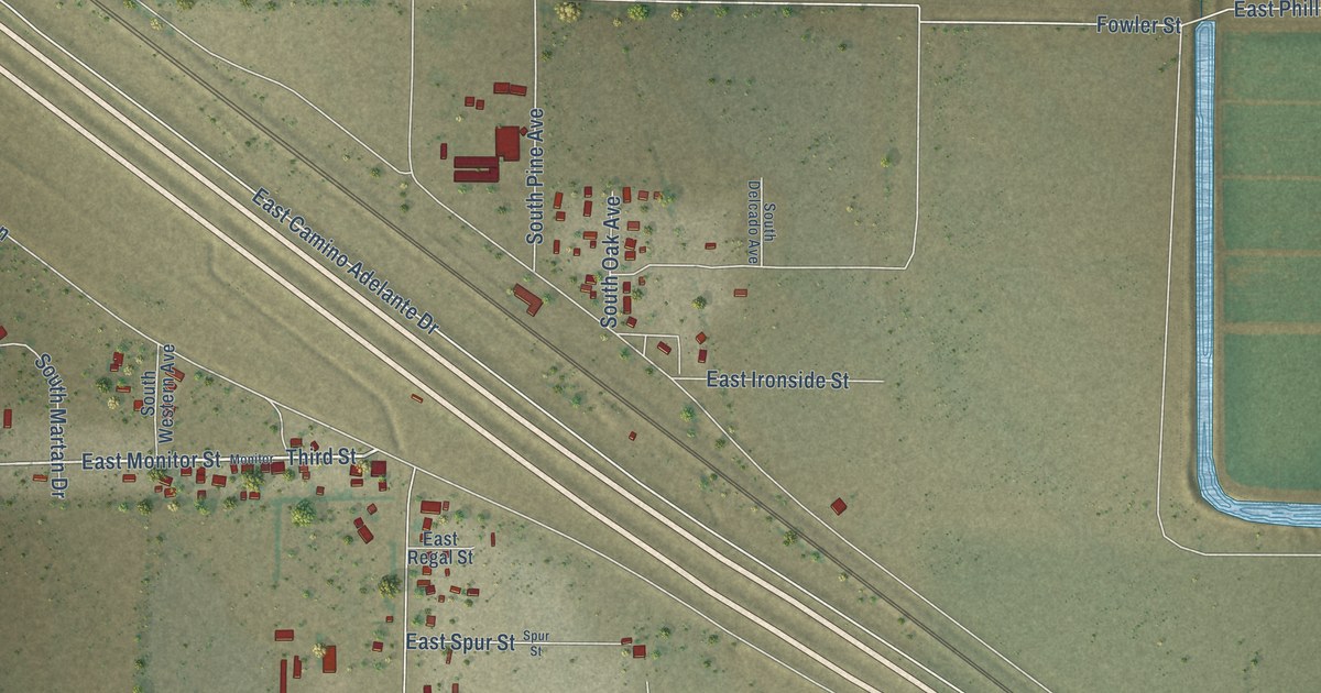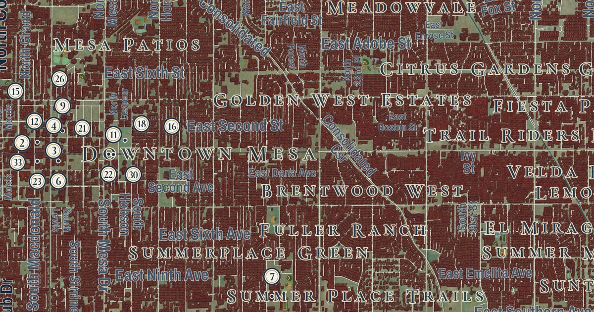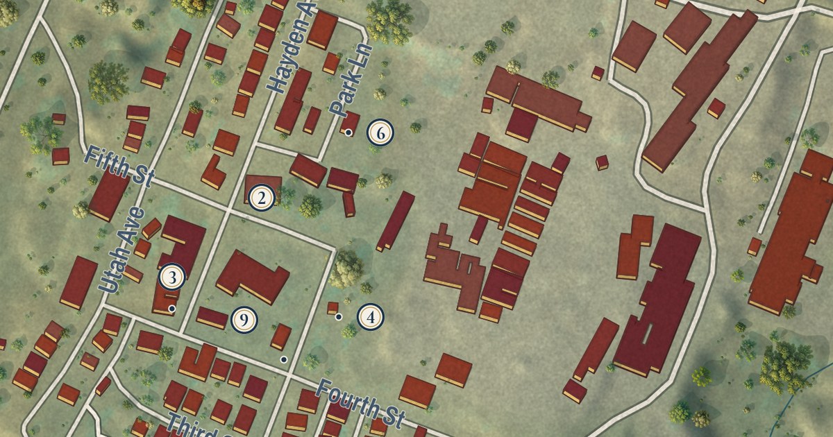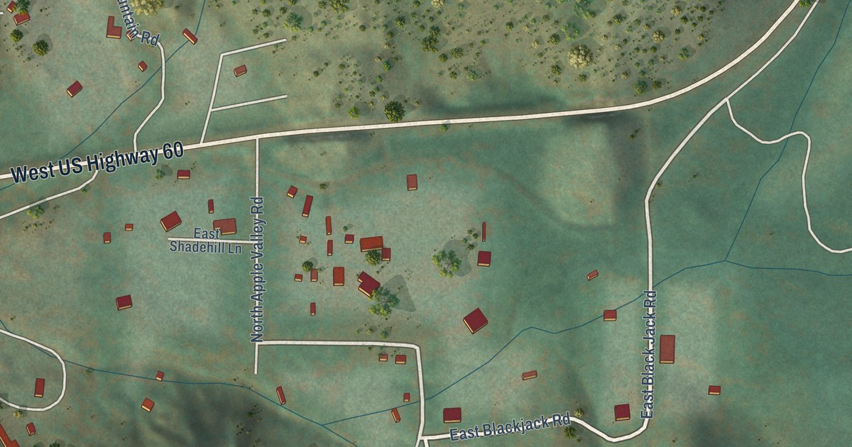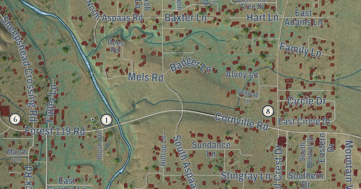
This beautifully detailed map of Cornville, Arizona was created in 2026 using aerial imagery combined with modern topographical, census, street and landmark data. It’s a one-of-a-kind view of Cornville that combines accurate data with a vintage aesthetic. The map shows every building in its true location, many of the roads carry their names, and the shaded topographic relief shows the shape of the land.
See the Cornville, Arizona map on a wall
The Cornville map as an 18 x 24 inch print in a black frame.

Explore an aerial view of Cornville, Arizona
On the map you’ll find Jordan, Page Springs, Coconino National Forest, East Willow Point Road(Usfs796), and FS Road 796, along with East Willow Point Road, South Loy Road, Cornville Road, East Lee Pasture Road, North Willow Point Road, Page Springs Road, Loy Road, and more. If you look closely you can even find your house accurately drawn in its correct location. Zoom in on the preview to look for yours.
Did you know this piece of Cornville, Arizona history?
Senator John McCain was Cornville’s best-known resident. He and running mate Sarah Palin prepared for their 2008 debates at his cabin there. McCain died at his Cornville home on August 25, 2018.
Take a closer look at the Cornville map
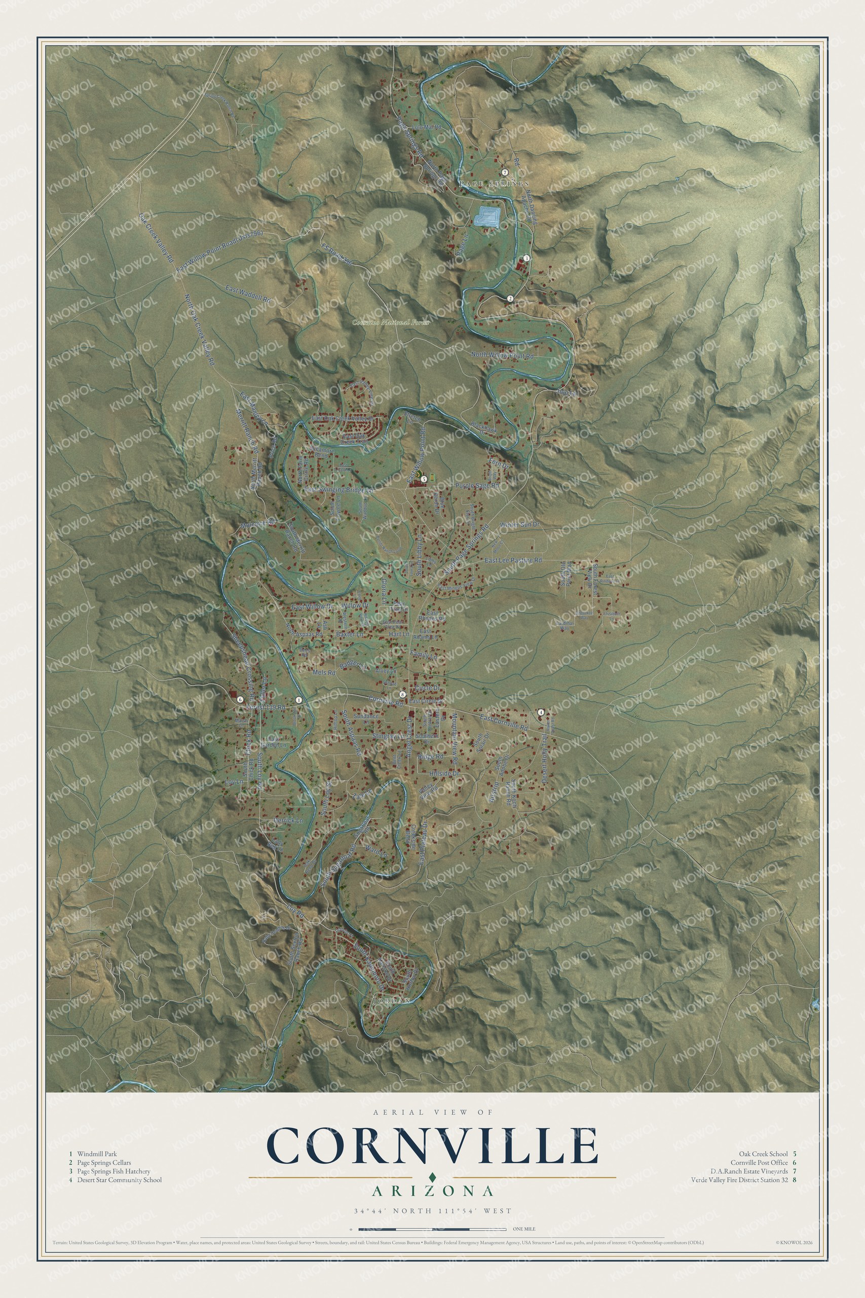
Click to explore a larger preview. The digital watermark does not appear on printed maps.
Street and place names on the Cornville, Arizona map
These names are printed on the map of Cornville, Arizona.
Places: Jordan, Page Springs and Coconino National Forest.
Streets and roads: East Willow Point Road, FS Road 796, South Loy Road, Cornville Road, East Lee Pasture Road, North Willow Point Road, Page Springs Road, Loy Road, Oak Creek Valley Road, Chick Road, Hillside Drive, East Swinging Bridge Lane.
More street names, A to Z
Airstrip, Alvey Lane, Angel Crest Drive, Ash Lane, Badger Lane, Baxter Lane, Bent Creek Lane, Blackhawk Drive, Blue Heron Drive, Bonito Ranch Loop, Bright Way, Brookside Drive, Cardinal Way, Cherokee Way, Circle Drive, Creekside Bend, Dees Road, Derrick Lane, Desert Holly Trail, East Adams Lane, East Circle Drive, East Cornville Road, Eastern Drive, East Garden Lane, East Lizard Lane, East Manley Lane, East Mingus View Drive, East Oak Creek Trail, East Oak Creek Valley Drive, East Pear Tree Drive, East Plateau Drive, East Rhodes Road, East Rindone Lane, East Valley View Drive, East Waddell Road, East Willow Drive, Eden Lane, Elizabeth Lane, Family Lane, Fern Drive, Forest 119 Road, Fuller Lane, Gloria Lane, Hart Lane, Hidden View Drive, Hilltop Lane, Jojo Lane, Lady Bug Lane, Libby Lane, Lichlyter Place, Lolo Mai Road, Loy Lane, Marsh Lane, Mels Road, Merritt Ranch Road, Mountain View Road, Mulcaire Road, New Moon Court, North Aspaas Road, North Dancing Apache Road, North Farm Circle Road, North Merritt Ranch Road, North Oak Creek Valley Road, North Page Springs Road, Oak Bend Drive, Page Lane, Pear Tree Drive, Price Road, Purple Sage Road, Raby Heights Drive, Raven Roost Road, Ridge Road, Road, Schwab Lane, Sheepshead Crossing Road, South Adobe Drive, South Aspaas Road, South Bright Star Lane, South Central Drive, South Chick Road, South Coyote Lane, Southern Drive, South Forest View Drive, South Horton Drive, South Kadomoto Drive, South Karlson Drive, South Koch Ranch Road, South Laura Lane, South Libby Lane, South Loy Street, South Merritt Ranch Road, South Ole Paint Way, South Page Springs Road, South Sexton Ranch Road, South Solair Drive, South Sugarloaf Road, South Waddup Lane, Spring Creek Ranch Road, Stingray Lane, Stretch Lane, Sugarloaf Road, Sundance Lane, Sycamore Bend, Valley View Road, Ward Lane, Western Drive, Willow Drive, Winter Sun Drive, Zale Lane.
This beautifully detailed map of Cornville makes an attractive addition to your office, library, or den, and it can even be used to teach children the geography and history of the area. It also makes a great gift for anyone who grew up in Cornville or moved away. When you’re done exploring, click here to get your copy of the Cornville map.