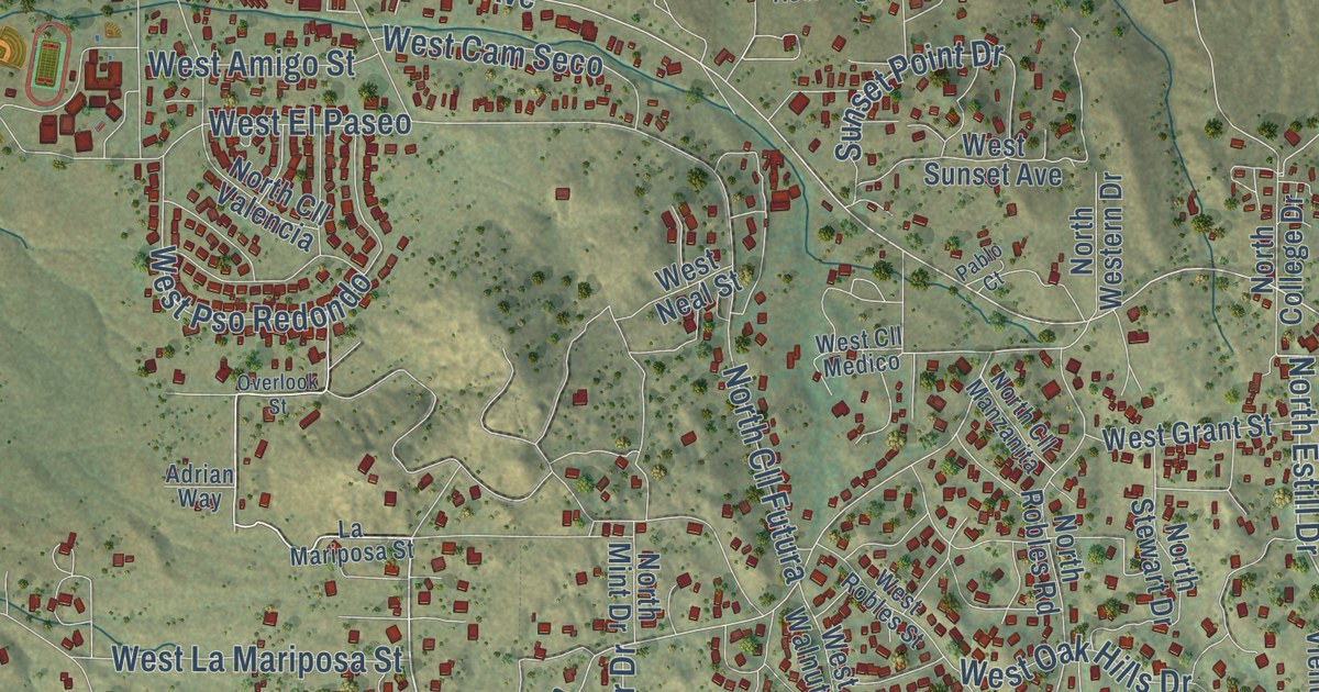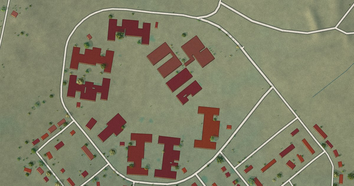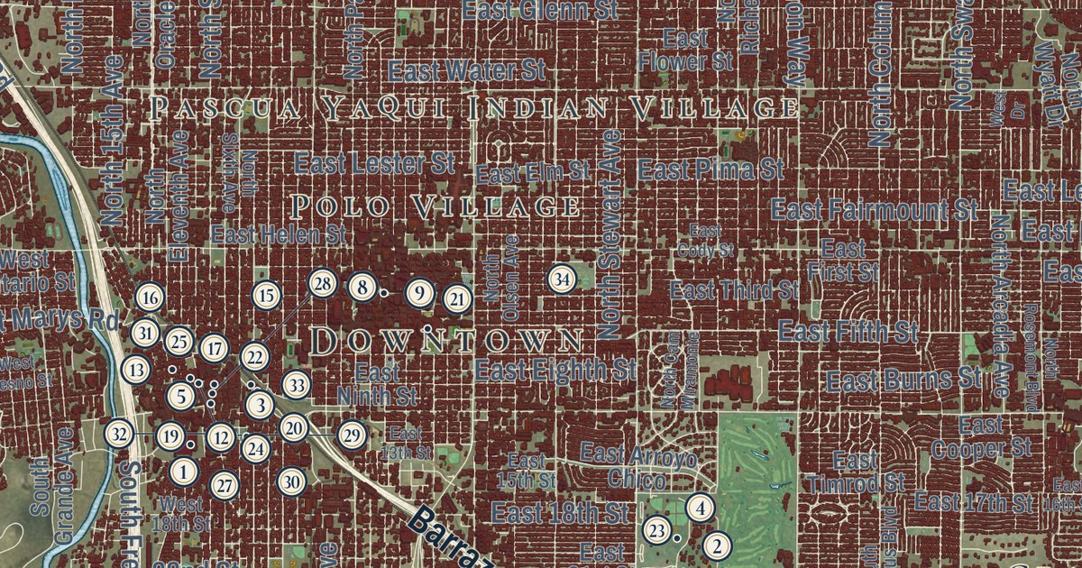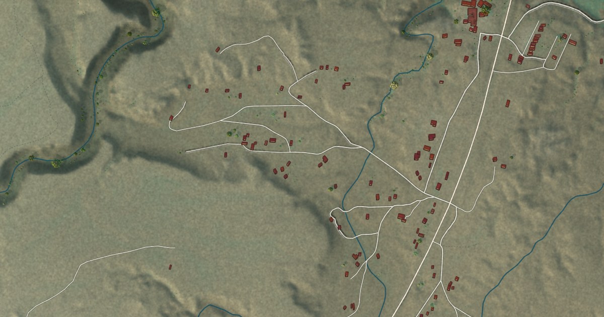
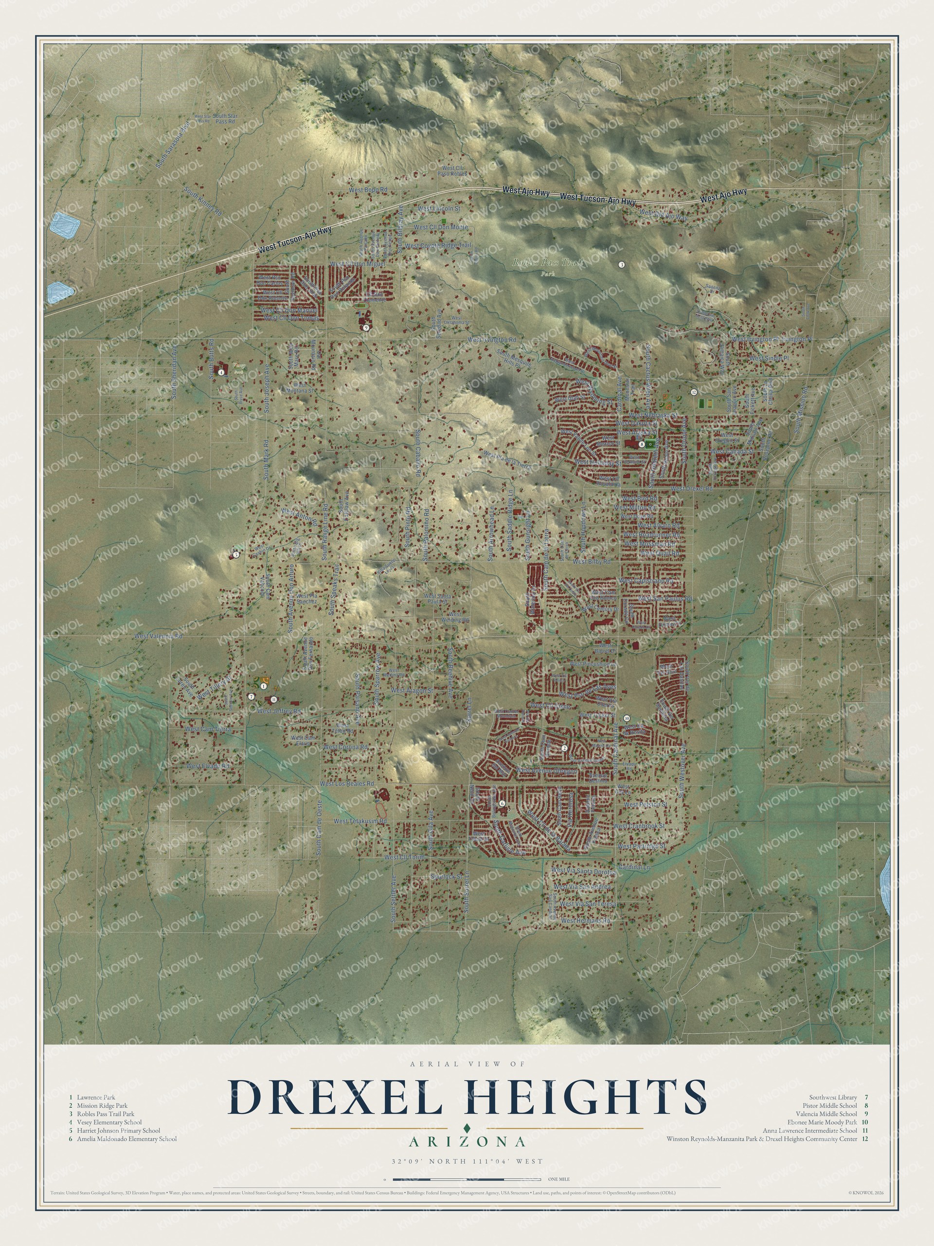
This beautifully detailed map of Drexel Heights, Arizona was created in 2026 using aerial imagery combined with modern topographical, census, street and landmark data. It’s a one-of-a-kind view of Drexel Heights that combines accurate data with a vintage aesthetic. The map shows every building in its true location, many of the roads carry their names, and the shaded topographic relief shows the shape of the land.
See the Drexel Heights, Arizona map on a wall
The Drexel Heights map as an 18 x 24 inch print in a black frame.

Explore an aerial view of Drexel Heights, Arizona
On the map you’ll find Robles Pass Trail Park, Vesey Park, and West Cll Don Monte, along with West Tucson-Ajo Highway, West Ajo Highway, South Sorrel Lane, West Hermans Road, South Cardinal Avenue, West Drexel Road, West Canada Street, West Irvington Road, West Valencia Road, and more. If you look closely you can even find your house accurately drawn in its correct location. Zoom in on the preview to look for yours.
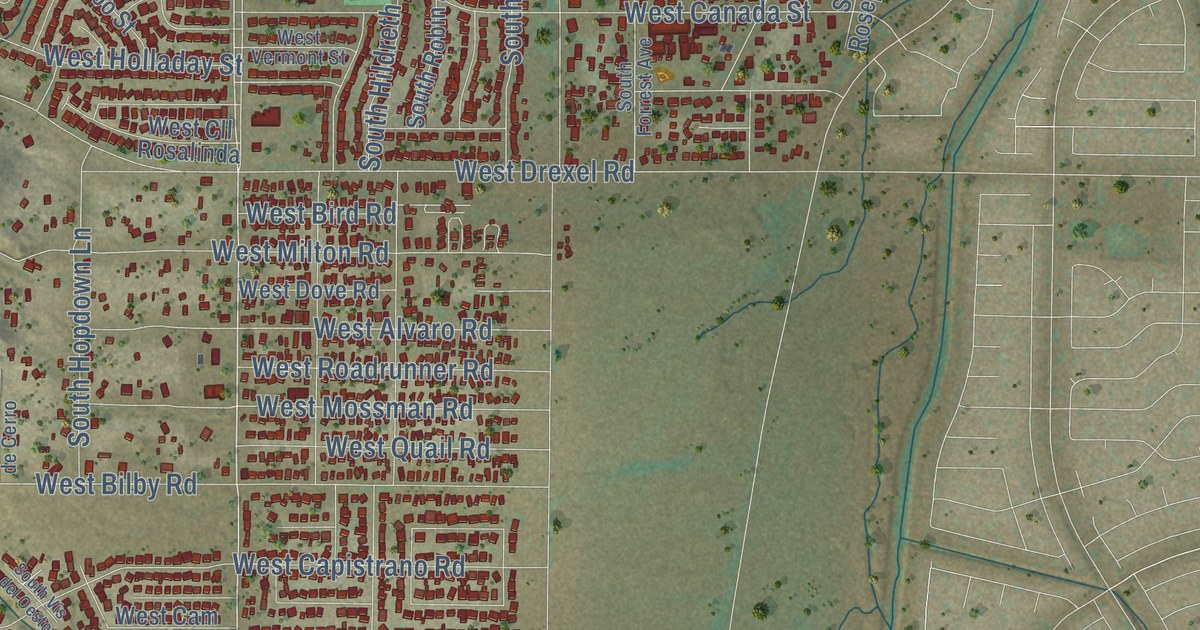
Take a closer look at the Drexel Heights map
Click to explore a larger preview. The digital watermark does not appear on printed maps.
Street and place names on the Drexel Heights, Arizona map
These names are printed on the map of Drexel Heights, Arizona.
Places: Robles Pass Trail Park and Vesey Park.
Streets and roads: West Tucson-Ajo Highway, West Ajo Highway, South Sorrel Lane, West Hermans Road, South Cardinal Avenue, West Cll Don Monte, West Drexel Road, West Canada Street, West Irvington Road, West Valencia Road, South Cam de Oeste, West Nebraska Street.
More street names, A to Z
Avenue del Mar, Avenue Destino, Avenue Perlina, Cardinal Avenue, Cardinal Lane, Cat Mountain Road, Cll Don Clemente, Elvado Road, Irvington Place, Moonstar Trail, Pla del Perone, Saoenz Drive, Sorrel Lane, South Arrowhead Lane, South Avenue Don Arturo, South Avenue Don Felipe, South Avenue Don Fernando, South Avenue Don Porfirio, South Avenue Fresca, South Avenue Paisano, South Avenue San Candido, South Beehive Avenue, South Big Hill Place, South Bilbray Avenue, South Bolingbroke Avenue, South Bryce Avenue, South Butts Road, South Caballo Road, South Cactus Wren Avenue, South Cam Bello, South Cam de Cerro, South Cam de la Pena, South Cam de la Tierra, South Cam Grande, South Cam Vahcom, South Carlisle Avenue, South Catclaw Avenue, South Centry Road, South Cook Avenue, South Dorado Circle, South Fickett Avenue, South Forrest Avenue, South Gila Avenue, South Gunsight Lane, South Hildreth Avenue, South Hopdown Lane, South Jamaica Way, South Joseph Avenue, South Kinney Road, South La Cholla Boulevard, South Loree Avenue, South Malcolm Avenue, South Mark Road, South Mesquite Hills Place, South Midvale Avenue, South Mission Road, South Nevil Drive, South Oriole Avenue, South Paisano Avenue, South Palomino Road, South Pinto Road, South Pso Don Juan, South Pso Don Rolando, South Range Line Road, South Robin Avenue, South Rosepine Road, South Saddle Ridge Lane, South San Joaquin Avenue, South Sarasota Boulevard, South Seehorn Avenue, South Settler Avenue, South Seymour Road, South Sheridan Avenue, South Soledad Avenue, South Sparrow Avenue, South Speaks Trail, South Star Pass Road, South Ver de Las Casitas, South Ver Sombria, South Vis del Oeste, South Waterton Drive, South Westover Avenue, South Wild Mare Road, Spurlock Street, Via Hermosa, Villa Sueno Lejos, West Alaska Street, West Alexanderwood Drive, West Alvaro Road, West Anton Road, West Aragon Street, West Avenue Isabel, West Avenue Obregon, West Avenue Sombra, West Barrel Drive, West Bilby Road, West Bird Road, West Bopp Road, West Cam Elario, West Cam Oro Blanco, West Cam Tierra, West Capistrano Road, West Cashin Drive, West Center Mountain, West Century Drive, West Cll Cisne, West Cll de la Bajada, West Cll de Rosita, West Cll Don Manuel, West Cll Don Miguel, West Cll Don Roberto, West Cll Don Tomas, West Cll Paso Robles, West Cll Rosalinda, West Cll Torim, West Corona Road, West Coy Lane, West Coyote Ridge Trail, West Cranbrook Street, West Dakota Street, West Dorado Circle, West Dove Road, West Elvado Road, West Holladay Street, West Irvington Place, West Jeffrey Road, West Lincoln Street, West Los Reales Road, West Maxine Circle, West Medina Road, West Mexico Street, West Milton Road, West Montana Street, West Mossman Road, West Mountain Dew Street, West Oklahoma Street, West Old Ajo Way, West Oregon Street, West Oriole Circle, West Partridge Street, West Pelston Street, West Pincushion Lane, West Pla de la Tierra, West Pla Sanchez, West Pso de Las Aves, West Pso Don Carlos, West Quail Road, West Roadrunner Road, West San Paulus Road, West Santa Paula Street, West Sindle Place, West Star Pass Road, West Tetakusim Road, West Teton Road, West Tillery Street, West Tucker Street, West Tybolt Drive, West Utah Street, West Vande Loo Street, West Ver Azul, West Vermont Street, West Via Cuervo, West Via Perico, West Via San Andrea, West Via Santa Dorotea, West Via San Teresa, West Weiding Road, West Wyoming Street.
This beautifully detailed map of Drexel Heights makes an attractive addition to your office, library, or den, and it can even be used to teach children the geography and history of the area. It also makes a great gift for anyone who grew up in Drexel Heights or moved away. When you’re done exploring, click here to get your copy of the Drexel Heights map.